Where boats run from Santa Barbara
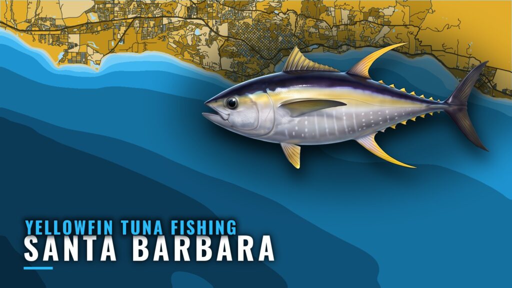
Yellowfin tuna fishing out of Santa Barbara means a run to offshore water near Santa Barbara Island, and the go or no-go call starts at NOAA NDBC station 46053, East Santa Barbara. If you launch or keep a boat at Santa Barbara Harbor, that buoy is where planning begins. This guide covers the water boats run to, the structure around the northern islands with depths, and the numbers to read before you leave the dock.
Western Outdoor News island reports track offshore activity near Santa Barbara Island and are worth reading before you commit fuel and a day to the Santa Barbara Channel. Whether you run a center console or a sportfisher, this is a private boat run, and the only distance that matters is your own range and reserve.
Grounds and structure near Santa Barbara
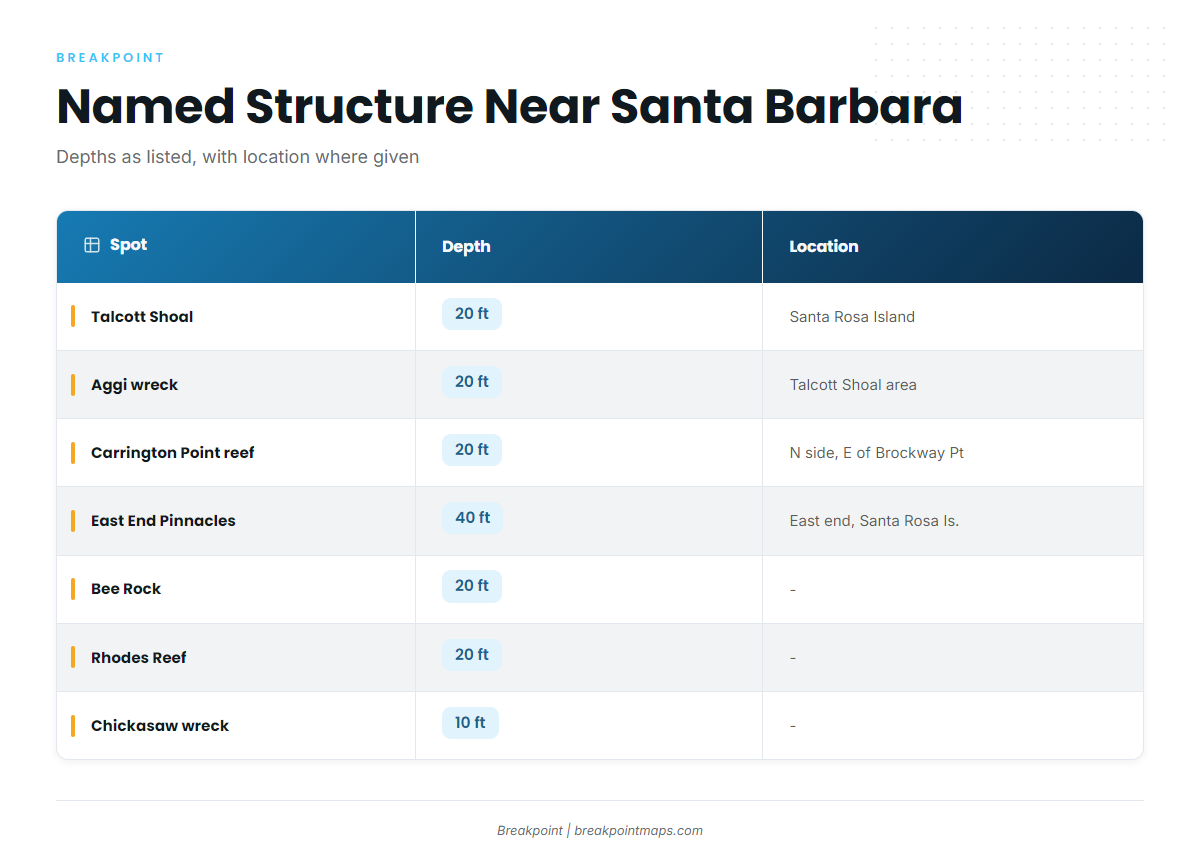
The named spots with published depths are Talcott Shoal, Bee Rock, Carrington Point reef, Rhodes Reef, the Aggi wreck, the Chickasaw wreck, East End Pinnacles and The Dome. Depths are printed as given.
| Spot | Depth | Location |
|---|---|---|
| Talcott Shoal | 20 ft | |
| Aggi wreck | 20 ft | In the Talcott Shoal area off Santa Rosa Island |
| Carrington Point reef | 20 ft | North side of Santa Rosa Island, east of Brockway Point |
| East End Pinnacles | 40 ft | East end of Santa Rosa Island |
| Bee Rock | 20 ft | |
| Rhodes Reef | 20 ft | |
| Chickasaw wreck | 10 ft | |
| The Dome |
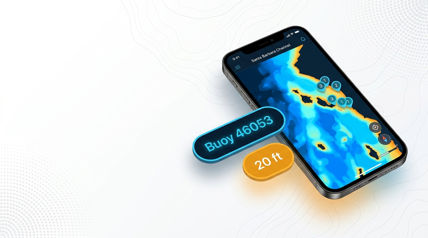
Plot these spots against the Chart Contours layer in Breakpoint before you leave the dock. Chart layers are not for navigation.
Talcott Shoal and the Aggi wreck
Talcott Shoal is 20 ft. The Aggi wreck is also 20 ft, in the Talcott Shoal area off Santa Rosa Island.
Carrington Point reef
Carrington Point reef is 20 ft, on the north side of Santa Rosa Island, east of Brockway Point.
East End Pinnacles
East End Pinnacles is 40 ft, at the east end of Santa Rosa Island.
Bee Rock, Rhodes Reef and the Chickasaw wreck
Bee Rock is 20 ft, Rhodes Reef is 20 ft and the Chickasaw wreck is 10 ft.
The Dome
The Dome is a named ground near Santa Barbara.
Reading the water before the run
Check the conditions before you decide on the run.
Buoy 46053
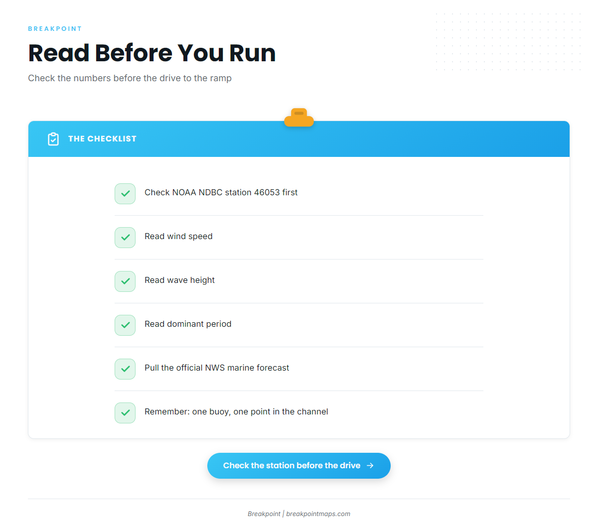
NOAA NDBC station 46053, East Santa Barbara, reports wind, wave height and dominant period. Pull up the NOAA NDBC station 46053 data before the drive to the ramp rather than after you are in the water.
The station is a single point in the channel and does not measure the water at Santa Barbara Island, so a forecast has to fill the gap. Use the official NWS marine forecast alongside the buoy, and keep in mind that a forecast is only a forecast.
What to read:
- Wind: the current number at the station, then the forecast trend.
- Wave height: the reading at the buoy, compared with the forecast.
- Dominant period: the spacing between swells, read alongside height.
When yellowfin are within range
Two sources tell you whether the fish are within reach. Western Outdoor News island reports show activity near Santa Barbara Island, and buoy 46053 shows whether the run is on. For the seasonal picture across the region, use the Pacific Southwest yellowfin guide (see also the Pacific Southwest fishing guide).
How yellowfin are fished from this port
The island report does not state local methods for Santa Barbara Island, and this page is written for private boats running their own trip.
Methods
For technique and tackle, use the yellowfin tuna fishing guide.
Who runs for them
Private boats run their own trips from this port. For harbor and launch ramp details, use the port page.
FAQ about yellowfin tuna fishing out of Santa Barbara
Where do boats run for yellowfin from Santa Barbara?
Boats run to offshore water near Santa Barbara Island. Western Outdoor News island reports track offshore activity there, so check them before you commit to the run.
What depth is Talcott Shoal?
Talcott Shoal is 20 ft. The Aggi wreck, also 20 ft, sits in the Talcott Shoal area off Santa Rosa Island.
Which buoy should I check before the drive or the run?
Check NOAA NDBC station 46053, East Santa Barbara, which reports wind, wave height and dominant period. Pair it with the NWS marine forecast.
Where are the rules for tuna out of Santa Barbara?
CDFW sets them, and the California regulations page points you there. Check it before fishing.
Where can I find other tuna species and ports?
See the Breakpoint tuna fishing guides for other species and ports.