When Bluefin Are Off Moriches
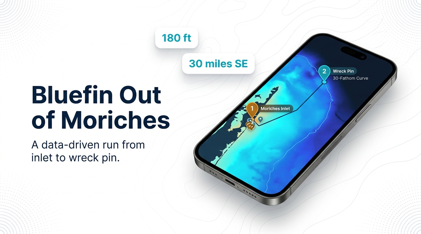
Atlantic bluefin tuna fishing out of Moriches comes down to two runs: one near the inlet, the other about 30 miles southeast to the Coimbra on the 30-fathom curve. Every distance below is measured from Moriches Inlet, the same reference point used on the Moriches port page.
Biology and migration are covered in the species guide. Regional timing beyond this port is in the Atlantic Northeast picture (see also the wider Atlantic Northeast guide).
The local calendar has one fixed marker:
- The Great Gun Moriches Anglers Inshore and Offshore Fishing Tournament, usually held in June, puts Moriches bluefin on the schedule.
- Rockfish reports are the other local signal for what the inshore grounds are doing. Check them before you commit fuel to either run.
Where Boats Run
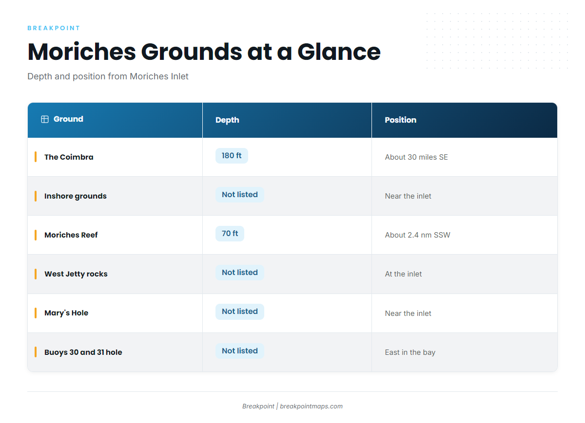
Boats run two ranges from Moriches Inlet: inshore grounds close to the inlet, and the Coimbra about 30 miles out. Chart layers are not for navigation, so use your own plotter and the official NOAA chart.
| Ground | Type | Depth | Position from Moriches Inlet |
|---|---|---|---|
| The Coimbra | Oil tanker wreck | 180 ft (30-fathom curve) | About 30 miles SE |
| Inshore grounds | Bluefin grounds per Rockfish reports | Not listed | Near the inlet |
| Moriches Reef | Artificial reef: barges, tugs, trawlers, tanks | 70 ft | About 2.4 nm SSW |
| West Jetty rocks | Inlet structure | Not listed | Moriches Inlet, West Jetty |
| Mary’s Hole | Named hole | Not listed | Near the inlet |
| Buoys 30 and 31 hole | Bay hole, Remsenburg shoreline | Not listed | East in Moriches Bay |
| Buoy chains | Bay structure | Not listed | Throughout Moriches Bay |
To see the 30-fathom curve before you leave the dock, turn on Chart Contours in Breakpoint.
The Coimbra
The Coimbra is an oil tanker wreck in 180 ft, about 30 miles SE of Moriches Inlet on the 30-fathom curve. Since 30 fathoms is 180 ft, the wreck depth and the curve line up. Boats troll it early and jig it during the day, as described in the methods section below.
Inshore Grounds Near the Inlet
Rockfish reports reference inshore bluefin grounds near Moriches Inlet. Nothing more specific is listed for this range.
Structure Near the Inlet and in the Bay
These named marks sit inside and just off the inlet. They are useful for orientation, but none is listed here as bluefin water.
Moriches Reef
Moriches Reef is in 70 ft, about 2.4 nm SSW of Moriches Inlet. It is an artificial reef built from barges, tugs, trawlers and tanks.
West Jetty Rocks and Mary’s Hole
Both are at the inlet. The West Jetty rocks are on the inlet’s West Jetty, and Mary’s Hole is near the inlet.
Bay Structure
The hole between buoys 30 and 31 lies east in Moriches Bay, off the Remsenburg shoreline. Buoy chains throughout the bay hold triggerfish in August.
How Bluefin Are Fished Here
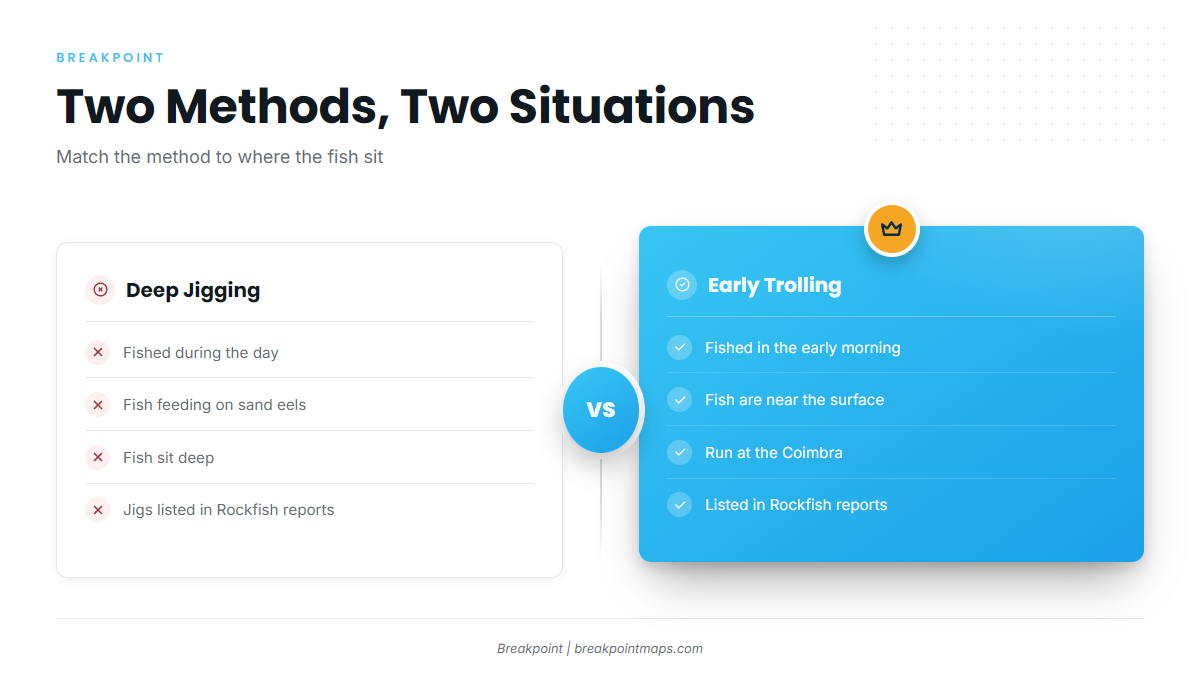
Jig when the fish are deep on sand eels during the day, and troll when they are near the surface early at the Coimbra. For more on depth and gear, see tuna tackle and technique.
| Situation | Method | Where listed |
|---|---|---|
| Daytime, fish deep on sand eels | Deep jigging | Coimbra |
| Early morning, fish near the surface | Trolling | Coimbra |
| Mixed approach | Jigs, live squid, early trolling | Rockfish reports |
Jigging Deep on Sand Eels
During the day, bluefin feeding on sand eels are fished deep with jigs. Work the jig down to the fish instead of waiting for them to rise.
Early-Morning Trolling
At the Coimbra, boats troll in the early morning when fish are near the surface. Rockfish reports also list early trolling.
Jigs and Live Squid
Rockfish reports list jigs and live squid for Moriches bluefin.
Who Fishes for Bluefin Out of Moriches
Two names come up for this port: a charter that lists bluefin, and a tournament.
Rockfish Charters
Rockfish Charters lists Atlantic bluefin tuna and runs a 39 ft Contender 39ST, according to Rockfish Charters’ own site.
Great Gun Moriches Anglers Tournament
The Great Gun Moriches Anglers Inshore and Offshore Fishing Tournament is usually held in June and lists Atlantic bluefin tuna.
FAQ About Bluefin Fishing Out of Moriches
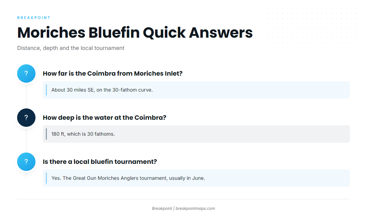
How far is the Coimbra from Moriches Inlet?
About 30 miles SE, on the 30-fathom curve.
How deep is the water at the Coimbra?
180 ft, which is 30 fathoms.
Do bluefin come inshore near Moriches Inlet?
Rockfish reports reference inshore bluefin grounds near the inlet. No distances are listed, so use it as a place to check reports rather than a fixed mark.
What methods work for bluefin out of Moriches?
Deep jigging on sand eels by day and early-morning trolling at the Coimbra. Rockfish reports also list jigs and live squid.
Is there a local bluefin tournament?
Yes. The Great Gun Moriches Anglers Inshore and Offshore Fishing Tournament, usually held in June.
Who runs bluefin charters out of Moriches?
Rockfish Charters, which runs a 39 ft Contender 39ST per its site.