
About Moriches
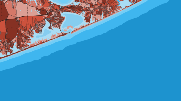
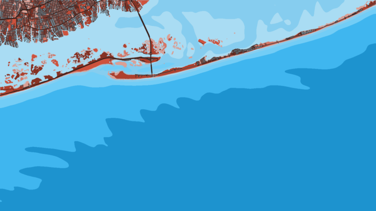
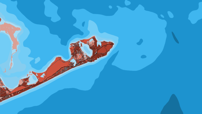
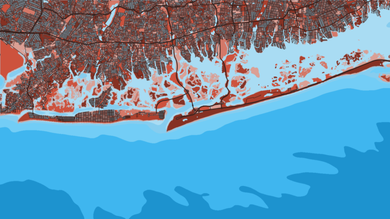
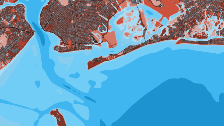
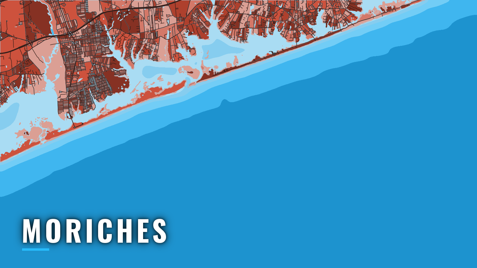
Moriches boats berth and launch along the north shore of Moriches Bay, at Center Moriches, East Moriches and the Forge River. Moriches Inlet is a jettied cut through the barrier beach to the Atlantic. On Long Island’s South Shore, it sits about 28 miles east of Fire Island Inlet along Fire Island.
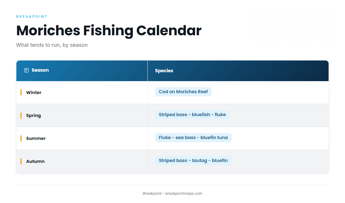
The inshore fishery runs spring through autumn, and cod carry the reef through winter. Anglers target striped bass, bluefish, fluke, weakfish, black sea bass, tautog, cod in winter, and bluefin tuna offshore. The Northeast offshore season sets the broader rhythm for the run out of Moriches.
Access and navigation
Moriches has town ramps and a marina on the bay side:
- Forge River ramp – Town of Brookhaven launch in Mastic, on the Forge River.
- Maple Avenue ramp – Town of Brookhaven launch in East Moriches.
- Swezey’s Harts Cove Marina – marina on Moriches Bay.
Check the Town of Brookhaven page for access rules before you trailer.
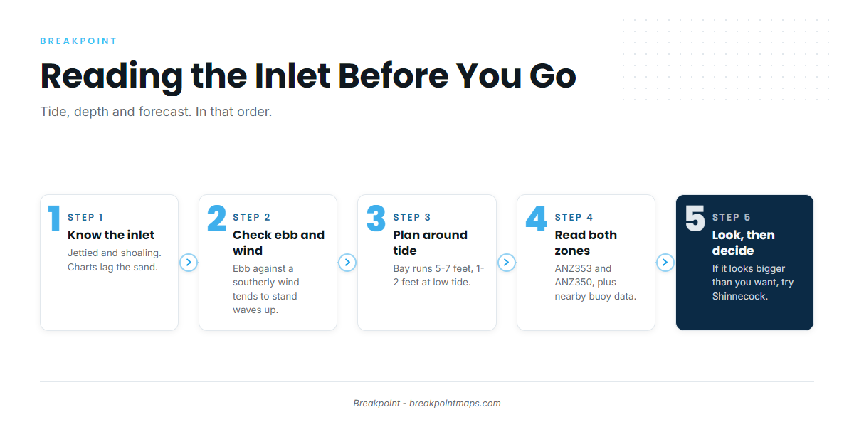
Moriches Inlet is jettied, and weather keeps reshaping it. It can shoal heavily. Both jetties carry a light, and a lighted whistle buoy marks the approach. Buoys are not maintained inside the inlet, so what you find there may not match the chart. The NOAA Coast Pilot Chapter 10 covers the entrance, though charts can lag the sand.
The south coast of Long Island is open to south and southeast weather. An ebb tide running out against a southerly wind or swell tends to steepen the waves and stand them up at the bar. At Shinnecock Inlet, the Coast Pilot notes that southerly winds of 15 knots or more on an ebb put breakers across the entrance. Expect a similar pattern here.
Moriches Bay generally runs 5 to 7 feet deep and can drop to 1 to 2 feet at low tide. The southern part is shoal. The marked channel can shift significantly to the north, and the Intracoastal Waterway stretch northeast of the inlet tends toward extreme shoaling. The inside route suits boats of about 3-foot draft. Plan the run in and out around the tide as well as the clock.
Moriches sits on the boundary between 2 NWS zones, so read both: the ANZ353 coastal forecast for Fire Island Inlet to Moriches Inlet, and the ANZ350 zone forecast for Moriches Inlet to Montauk Point. Check wind direction and speed and wave height and period, and compare the forecast with nearby buoy observations on the NWS New York marine page. Chart layers are not for navigation.
The next ocean inlet east, Shinnecock Inlet, is the alternative approach when Moriches looks bigger than you want. On arrival, look at the water at the inlet and check the official forecast. If conditions look rougher than you want, consider switching to Shinnecock.
Fishing conditions
The grounds off Moriches are within day-trip range, and you can reach offshore water by working out from the inlet:
- Moriches Reef – 2.4 nautical miles from the entrance, 70-75 feet.
- Mary’s Hole – named ground in the Moriches area.
- West Jetty rocks – the rocks along the inlet’s west jetty.
Moriches Reef’s structure holds fish and bait, and black sea bass work it.
NYSDEC recreational fishing regulations set the rules in state waters out to 3 miles. Check them before fishing, because limits and in-season changes are posted there. Anglers 16 and older must enroll through DECALS online in the free Recreational Marine Fishing Registry.
Winter
Cod become a staple on Moriches Reef from October through the winter, and at times into early spring. Check NYSDEC for the cod season.
Spring
Striped bass, bluefish, flounder, weakfish and fluke show up as the bay and inlet warm. The striped bass slot in state waters is 28 to 31 inches, so confirm the current rule on the NYSDEC page before you keep one.
Summer
Fluke and bluefish work the bay and nearshore. Striped bass tend to hold in the deeper parts of the inlet and are often best worked with live bait early on the outgoing tide. Triggerfish and weakfish hang around the West Jetty rocks, and sea bass stack on Moriches Reef.
Offshore, the run is for bluefin tuna. Tuna fishing needs a NOAA Highly Migratory Species permit in addition to the registry. Check OBS SST and Chlorophyll for a temperature break before committing fuel to an offshore run.
Autumn
Striped bass run through the inlet on the fall push, and bluefish stay in the mix. Fluke fishing continues until the season closes, so check NYSDEC for the closing date. Tautog work the rocks, and the bag limit changes by period, so check the agency before you keep one. Offshore, the fall bluefin bite in the Northeast carries the season out.