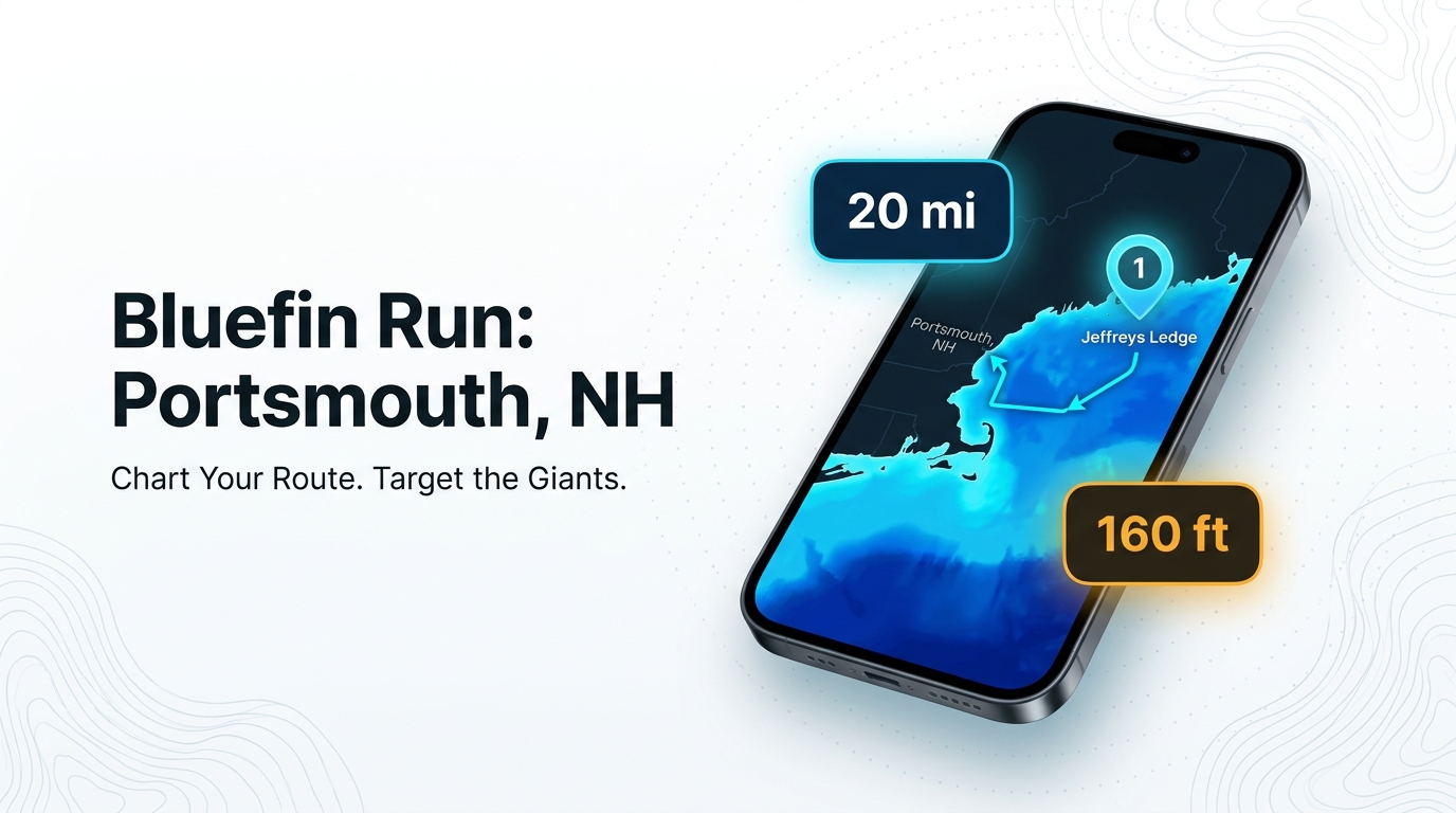
Atlantic bluefin fishing out of Portsmouth starts in June on offshore trips, and the main run is to Jeffreys Ledge, about 20 miles out in about 160 ft of water. This guide covers when the fish are here, where boats run, how the edge is fished, and who fishes for them out of Portsmouth, New Hampshire. The distance to Jeffreys Ledge is per FishingBooker. For the fish itself, see our bluefin tuna guide. This page is a run plan for one port, not a species overview.
When bluefin are off Portsmouth
Timing falls into three windows: offshore from June, inshore in midsummer, and a strong late-summer and fall bite.
Offshore from June
Offshore trips find bluefin from June. That is the run to Jeffreys Ledge, covered below.
Inshore, July to September
Shoals Fly Fishing gives its inshore tuna season as mid to late July through September, about a month after offshore trips begin finding fish.
Late summer and fall
Game & Fish describes the bite in late summer and fall as strong. For a single trip, that is the window the source points to, though it describes the fishery and does not promise fish.
| Window | Where | Source |
|---|---|---|
| From June | Offshore trips | Offshore trip reports |
| Mid to late July through September | Inshore | Shoals Fly Fishing |
| Late summer and fall | Strong bite | Game & Fish |
Where boats run
Jeffreys Ledge is the main run. Closer grounds sit inside it, and a few far grounds lie beyond. Two grounds have distance figures:
| Ground | Distance | Depth |
|---|---|---|
| Jeffreys Ledge | about 20 miles | about 160 ft |
| Isles of Shoals | about 6 miles |
Jeffreys Ledge
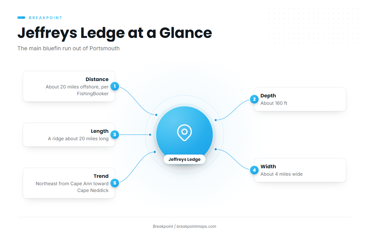
Jeffreys Ledge is a ridge about 20 miles long and 4 miles wide. It runs northeast from Cape Ann toward Cape Neddick and is part of the wider Gulf of Maine bluefin picture (see also the Atlantic Northeast region guide). Depth is about 160 ft. The ledge is about 20 miles offshore, per FishingBooker.
The fishing happens along the edge, covered below. If you read the edge on Chart Contours, keep in mind that chart layers are not for navigation.
Isles of Shoals
The Isles of Shoals sit about 6 miles off the coast, per FishingBooker. They are the closer ground and fit the inshore window from mid to late July through September. NDBC station IOSN3 sits at Isle of Shoals, which matters for the conditions check below.
Scantum, Platts Ledge and Hampton Shoals Ledge
Scantum is a named local ground. Platts Ledge is offshore. Hampton Shoals Ledge lies off Hampton.
Boone Island and Nubble
Boone Island is offshore Maine. The waters outside Nubble Lighthouse are on the Maine coast near Cape Neddick.
Cashes Ledge
Cashes Ledge is far offshore and is reserved as a trip destination, the run people book with a captain.
How bluefin are fished here
Methods follow the structure: anchor on the edge, or jig and troll, and check conditions before you go.
Anchoring on the edge with live bait
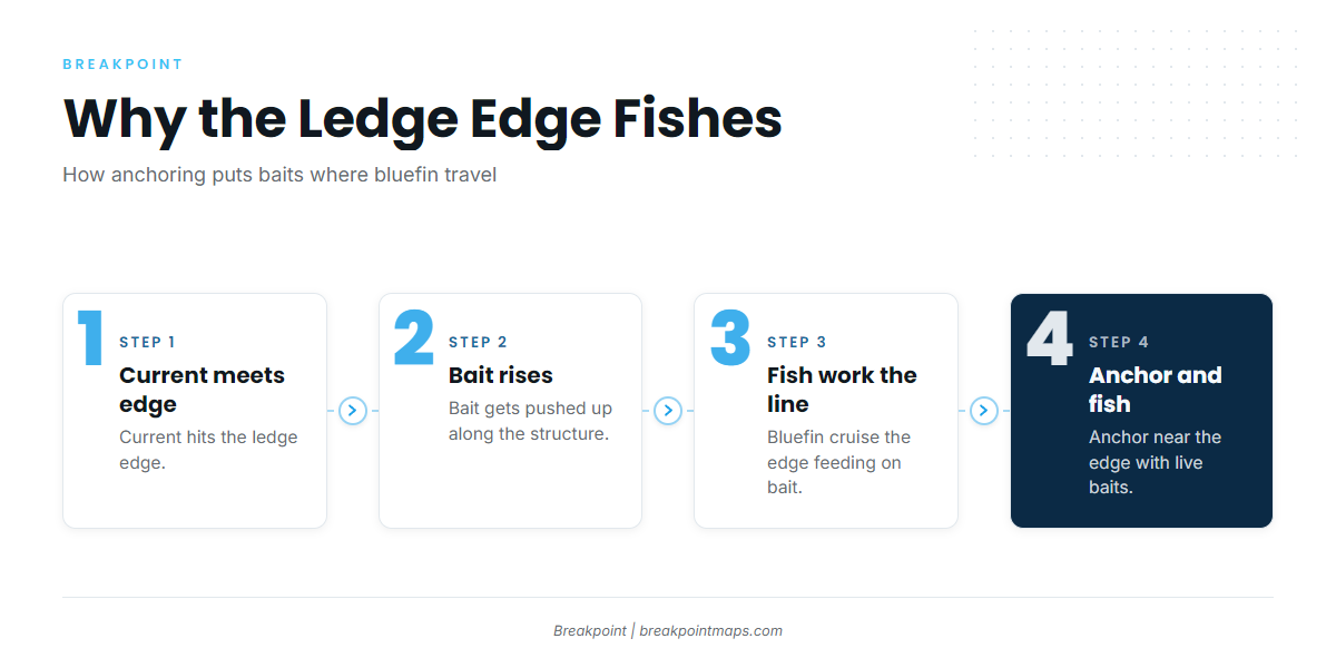
Game & Fish describes anchoring near the ledge edge or over structure with live baits. Bluefin cruise the edge feeding on bait pushed up by current. When current meets the edge, bait rises and fish work that line, so anchoring there puts your baits where the fish travel.
Jigging and trolling
FishingBooker describes jigging and trolling as the main tuna methods. Both cover water, while anchoring holds one spot.
Reading conditions at IOSN3
The nearest station is NDBC IOSN3, the Isle of Shoals, NH C-MAN station at 42.967 N 70.623 W. Check wind, wave height and period there before the run.
- A station reads one point, and conditions 20 miles out on the ledge can differ.
- A forecast is only a forecast, so check the official marine forecast alongside the station.
Who fishes for them out of Portsmouth
These local charters list Atlantic bluefin tuna:
- FirstFlight Charters bluefin trips
- Shoals Fly Fishing and Light Tackle
- Adventure and Catch Charters, Captain Andy, sailing from Great Bay Marina, Newington
- Ledge Runner Charters, Capt. Elias Alexandropoulos on the 32 ft BHM Kiska B II
- The Charter Doctor
- F/V Lost with Captain Daniels, Captain DJ Daniels
FAQ: Portsmouth bluefin
How far is Jeffreys Ledge from Portsmouth?
About 20 miles offshore, per FishingBooker. The ridge is about 20 miles long and 4 miles wide, running northeast from Cape Ann toward Cape Neddick.
When does the inshore bluefin bite start?
Shoals Fly Fishing gives mid to late July through September for inshore fishing. Offshore trips find fish from June. Game & Fish describes the late-summer and fall bite as strong.
How deep is Jeffreys Ledge?
About 160 ft. Game & Fish places the bite along the edge, where current pushes bait up and fish cruise, which is why the edge matters more than the top of the ridge.
Which buoy should I check before the run?
NDBC IOSN3, the Isle of Shoals C-MAN station at 42.967 N 70.623 W. Check wind, wave height and period, and pair it with the official marine forecast. The station reads one point, so ledge conditions can differ.
What methods work for bluefin out of Portsmouth?
Anchoring on the ledge edge or over structure with live bait, per Game & Fish, plus jigging and trolling, per FishingBooker. Fishing out of Portsmouth leans on the edge, where current pushes bait up and fish cruise.
Where can I read about other tuna species and methods?
Our tuna fishing guides cover other tuna species, regions and techniques beyond this port.