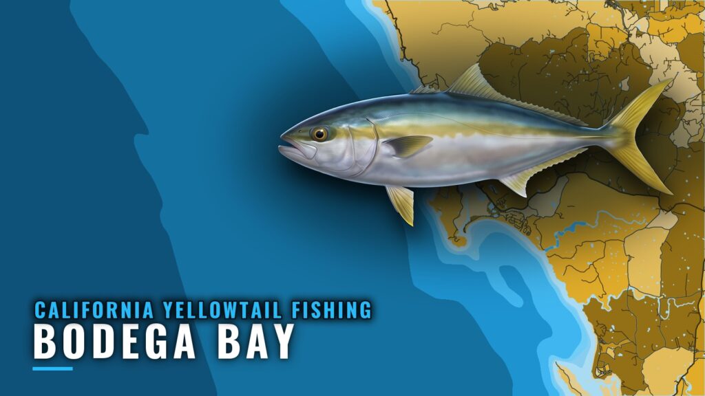
When yellowtail are off Bodega Bay
California yellowtail fishing out of Bodega Bay follows water conditions rather than a calendar. The fish are a warm-water visitor, so trips are planned around the conditions and a run west of the harbor. The California yellowtail guide covers the fish itself; this page covers where to look and how boats work it. For where yellowtail range along the coast, see the regional guide to where yellowtail range (see also the wider Pacific Southwest guide).
Reading NDBC 46013
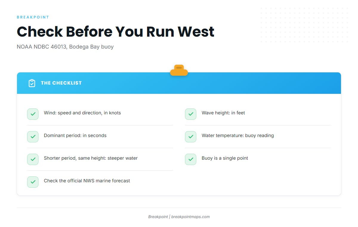
NOAA NDBC station 46013 (Bodega Bay) sits at 38.235 N 123.317 W, 48 NM northwest of San Francisco. Check four readings before you run west:
- Wind: speed and direction, in knots. It sets how the run west and the drift on the grounds will feel.
- Wave height: in feet. It tells you what you’ll take on the way out and what you’ll be fishing in.
- Dominant period: in seconds. A shorter period at the same height means steeper water.
- Water temperature: the buoy reading. Track it from one check to the next.
The buoy is a single point and doesn’t see conditions on Cordell Bank or along the canyon edge, so read the official NWS marine forecast alongside it.
Where boats run from Bodega Bay
Boats run offshore to the west of the harbor. The Bodega Bay port guide covers the harbor, ramps and approach. Mark the grounds listed in the next section before you leave the dock, and keep in mind that chart layers are not for navigation.
Grounds and structure off Bodega Bay
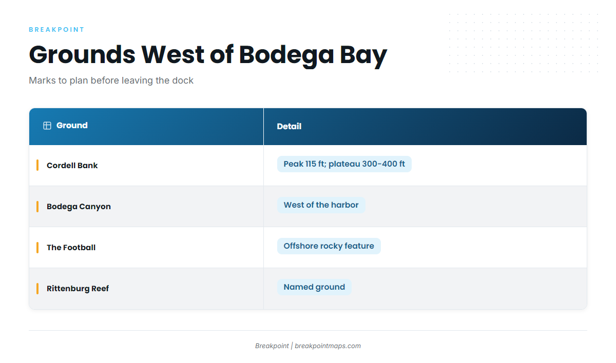
Four named grounds and structures draw boats offshore from the harbor.
| Ground | Detail |
|---|---|
| Cordell Bank | Shallowest point 115 ft; plateau 300 to 400 ft deep |
| Bodega Canyon | West of the harbor |
| The Football | Offshore rocky feature |
| Rittenburg Reef |
A 115 ft peak rising off a 300 to 400 ft plateau is the kind of relief worth marking.
How yellowtail are fished here
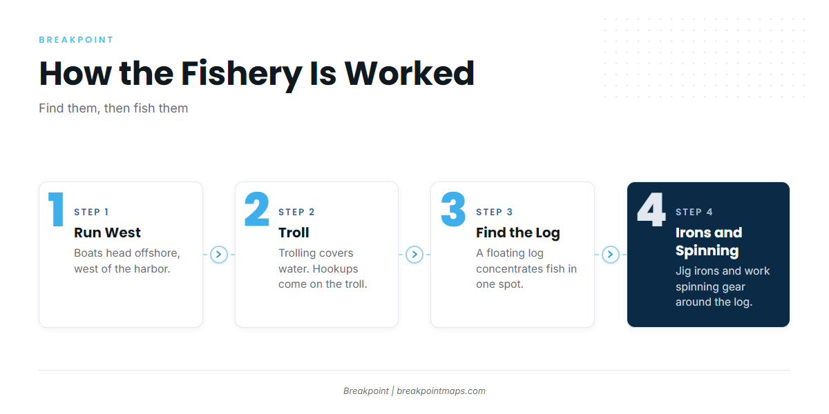
Boats troll first, and hookups come on the troll. Once a log is found holding fish, crews switch to irons and spinning gear.
Trolling to find them
Trolling covers a lot of water, which is how boats locate fish. The first hookups come on the troll.
Irons and spinning gear on a log
A floating log concentrates fish in one spot. Once a log is found holding fish, crews jig irons and work spinning gear around it. The troll finds the fish, and the log lets you cast to them.
Who fishes for yellowtail out of Bodega Bay
North Bay Fishing Charters lists California yellowtail. Per its site, it runs F/V Bigeye (Parker 2820XLD) and Sorta Salty (Parker 2520XLD). By model name, those are 28 ft and 25 ft class boats, a size many owner-operators run.
FAQ about Bodega Bay yellowtail
How far west do boats run for yellowtail out of Bodega Bay?
Boats run offshore to the west of the harbor, toward grounds such as Cordell Bank, Bodega Canyon and The Football. Conditions decide the run, so read NDBC 46013 and the official forecast before you commit.
What is the best method to start with?
Troll first, because hookups come on the troll. Once a log is found holding fish, switch to irons and spinning gear.
Does Cordell Bank hold yellowtail?
Cordell Bank has a shallowest point of 115 ft and a plateau 300 to 400 ft deep, which makes it a mark worth putting on the plan. The troll is how boats find out what is on it.
Is California yellowtail the same as yellowtail rockfish?
No, they are different fish. California yellowtail is the offshore jack this page covers; yellowtail rockfish is a rockfish.
What else runs offshore from Bodega Bay?
The offshore gamefish guides cover the other fish worked from this coast. Before any run, check the buoy and the regulations.