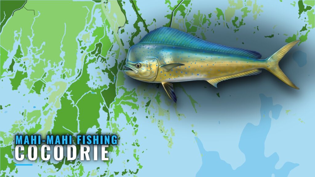
Where boats run from Cocodrie
Mahi-mahi fishing out of Cocodrie is a deepwater run. This page lists names, depths, a lease block and one plottable distance to help you decide where to look.
Deepwater rigs shared with Grand Isle and Port Fourchon
The deepwater rigs that boats run to are fished out of Grand Isle, Port Fourchon and Cocodrie. The source mentions this only once, so the evidence is thin, and nothing in it says which port is closer. A structure position tells you where to look, but it can’t tell you what is there on the day.
Read conditions as numbers
Before the run, check wind, wave height and period in the NWS Terrebonne Bay marine forecast, and make your own call from those numbers. Chart layers are not for navigation.
| What to read | Where |
|---|---|
| Wind | Marine zone forecast |
| Wave height | Marine zone forecast |
| Wave period | Marine zone forecast |
The nearest NOAA buoy is not confirmed. The NOAA Cocodrie tide station page (ID 8762928) opened as a blank template.
Grounds and structure off Cocodrie
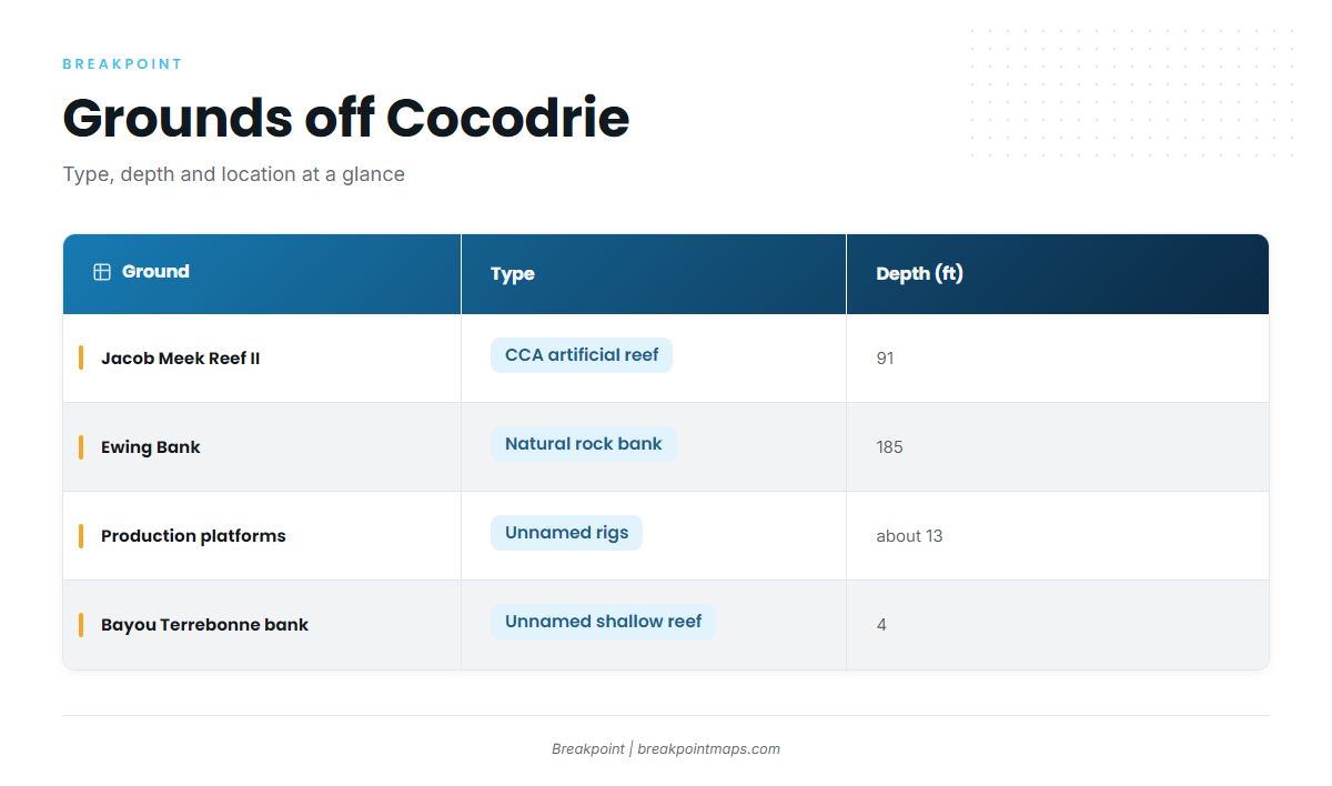
Four named pieces of structure matter here. Depths and location notes come straight from the table.
| Ground | Type | Depth (ft) | Location note |
|---|---|---|---|
| Jacob Meek Reef II | CCA artificial reef | 91 | South Timbalier 165, about 45 miles south of Terrebonne Bay |
| Ewing Bank ("Wonderland") | Natural rock bank | 185 | Limestone-capped feature on the bank |
| Production platforms | Unnamed rigs | about 13 | Fished on an April 2026 Cocodrie-area trip; no distance from port given |
| Bayou Terrebonne bank | Unnamed shallow reef | 4 | Described as a bank of Bayou Terrebonne, April 2026 |
Plot Ewing Bank and South Timbalier 165 against Chart Contours.
Jacob Meek Reef II (South Timbalier 165)
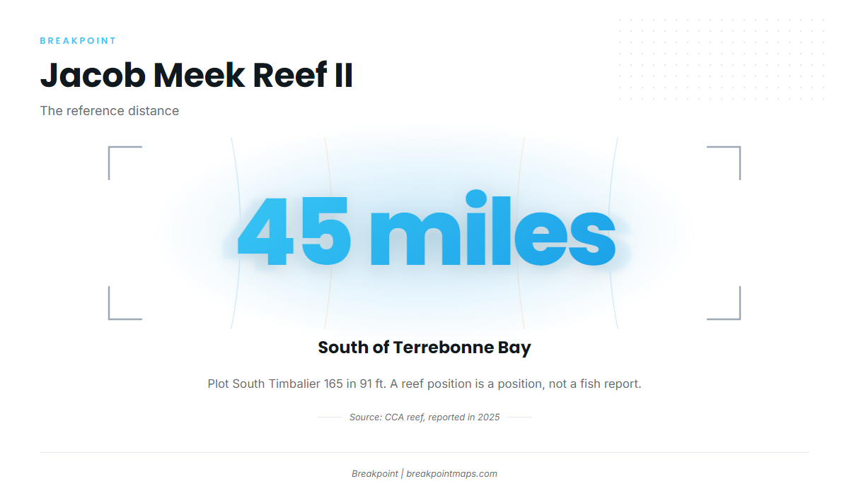
Jacob Meek Reef II sits in 91 ft at South Timbalier 165, about 45 miles south of Terrebonne Bay. CCA expanded the reef and renamed it Jacob Meek Reef II, reported in January 2025. The lease block is the identifier you plot. A reef position is a position, not a fish report.
Ewing Bank, "Wonderland"
Ewing Bank is a natural rock bank in 185 ft. The captain calls the grounds Wonderland.
The limestone cap on Ewing Bank
Ewing Bank has a limestone-capped feature, which was the first drift of the captain’s 2013 trip.
Shallow structure on the way out
Production platforms sit in about 13 ft, and an unnamed shallow reef on a bank of Bayou Terrebonne sits in 4 ft. Both are inshore-depth structure and are not mahi grounds.
When and how mahi are fished here
The source doesn’t describe local methods for this port, and it gives no seasonal window for Cocodrie. For timing, weedlines and trolling, see how mahi are found and fished. For seasonal movement across the region, see the Gulf picture (see also the wider Gulf of Mexico guide). Start with those, then fold the Cocodrie grounds above into your plan.
Who does mahi-mahi fishing out of Cocodrie
Owner-operators and captains work the deepwater rigs, which are also fished from Grand Isle and Port Fourchon. The captain in the source fishes Ewing Bank. For the other species these boats chase, see our offshore gamefish guides.
FAQ for Cocodrie mahi
How far is Jacob Meek Reef from Cocodrie?
Jacob Meek Reef II sits about 45 miles south of Terrebonne Bay, at South Timbalier 165, in 91 ft.
How deep is Ewing Bank?
185 ft. It is a natural rock bank with a limestone-capped feature.
What is "Wonderland" off Cocodrie?
It is the captain’s name for the Ewing Bank grounds.
Do mahi come into the bay platforms near Cocodrie?
The platforms sit in about 13 ft and the Bayou Terrebonne reef in 4 ft. That is inshore-depth structure, separate from the deepwater rigs and banks listed above.
Where are the rules for mahi-mahi fishing out of Cocodrie?
Check the state and federal pages linked in the Regulations section above.
Where do I read conditions before the run?
Use the NWS Terrebonne Bay marine forecast for wind, wave height and period. It gives numbers, and you make the call.