
About Cocodrie
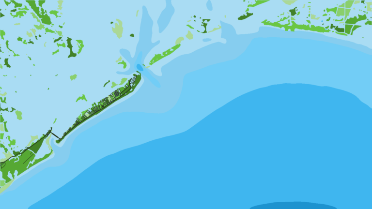
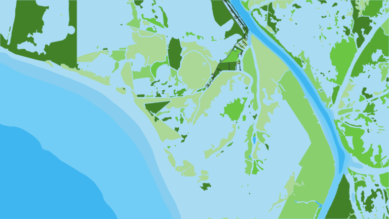
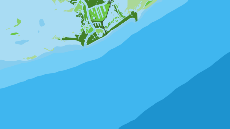
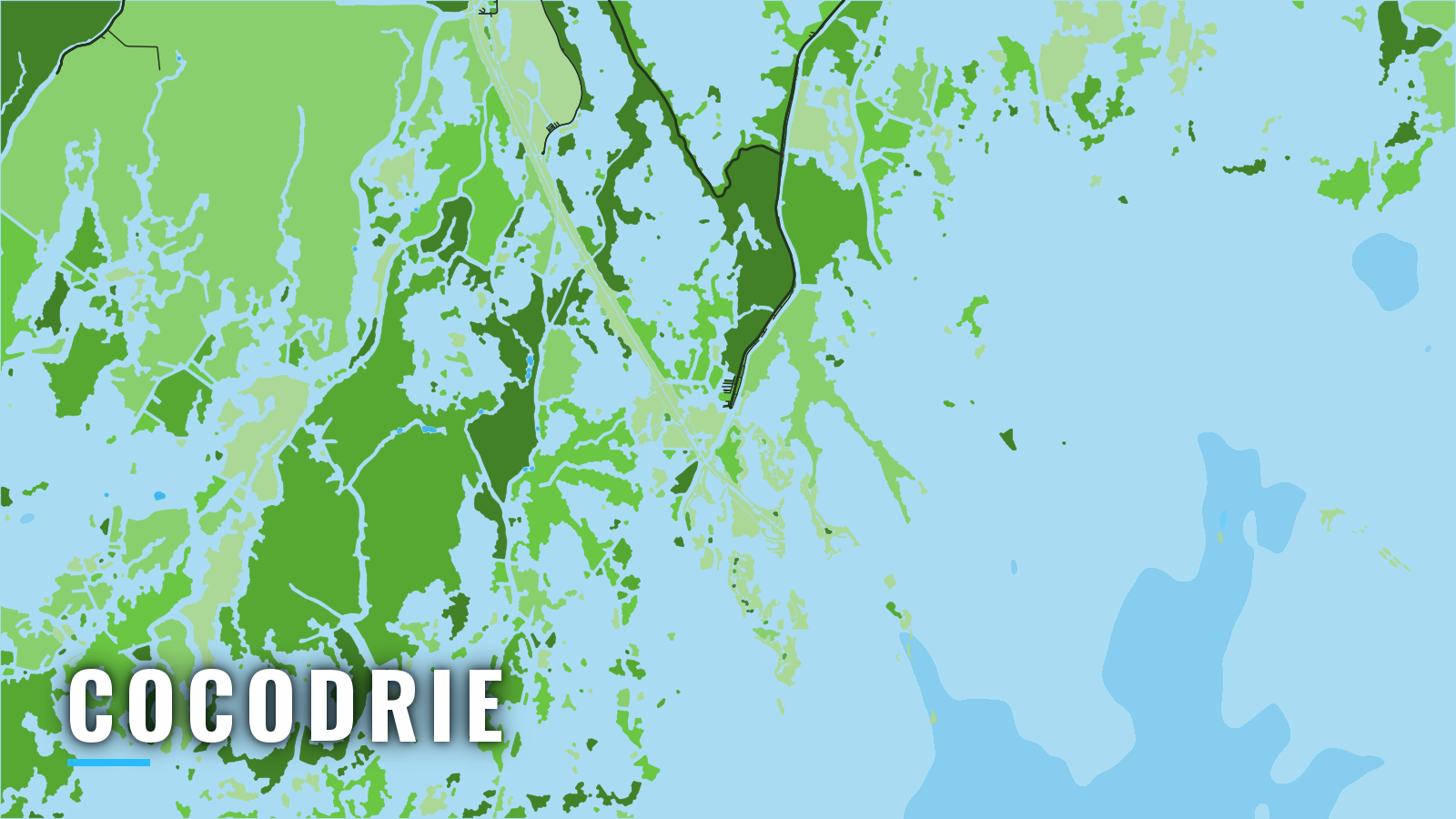
Cocodrie is a fishing village on Bayou Petit Caillou in Louisiana, about 6 miles above the bayou’s mouth on Terrebonne Bay. Passes through the Isles Dernieres and the Timbalier island chain lead from the bay to the Gulf. Past the islands, the reefs and platforms of the northern Gulf are within reach of boats that run offshore.
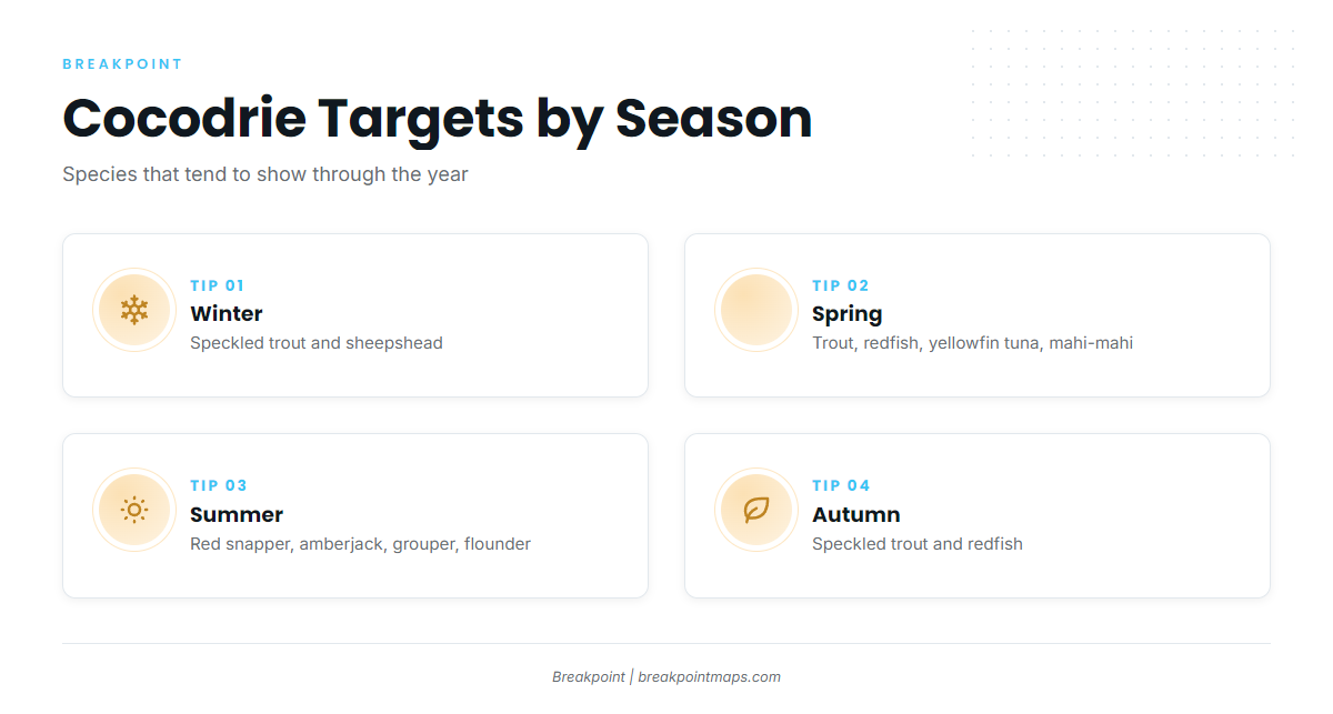
The port fishes year-round, and the targets shift with the seasons. Speckled trout show through the year, redfish tend to lead in spring and autumn, and sheepshead work the winter. Summer brings red snapper, vermilion snapper, grouper, amberjack and flounder. Yellowfin tuna and mahi-mahi come into play on the longer runs in spring. The sections below cover the launch, the route out and the passes, then the grounds by season.
Access and navigation
Launch and fuel in Cocodrie:
Bayou Petit Caillou runs from Cocodrie down to Terrebonne Bay. Terrebonne and Timbalier bays are 4 to 9 ft deep, and wind over that shallow water can build a short, steep chop. The Houma Navigation Canal runs from Cat Island Pass across Terrebonne Bay and serves as the deeper reference line for the crossing.
Cat Island Pass
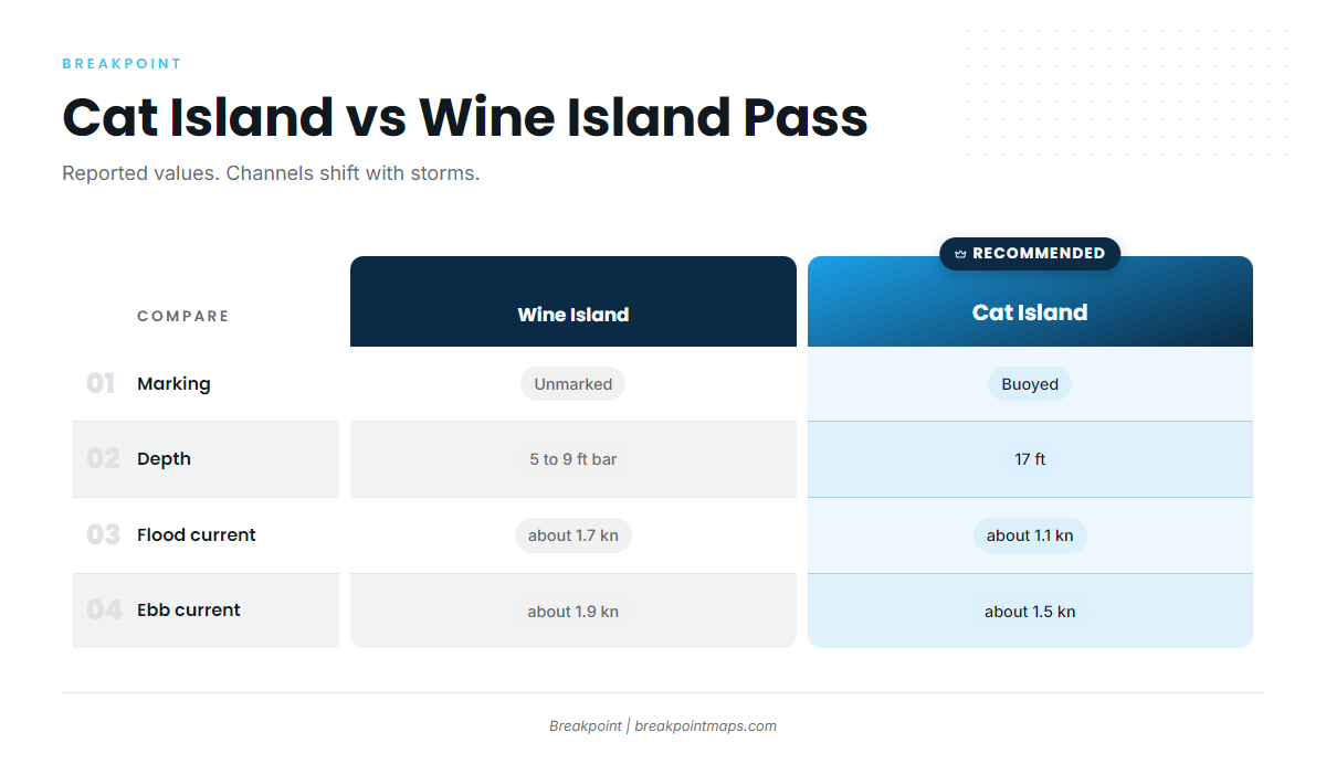
Cat Island Pass is the main approach to the Gulf from Cocodrie. Lighted and unlighted buoys mark it, and its reported controlling depth is 17 ft. Current averages about 1.1 kn on the flood and 1.5 kn on the ebb, and higher velocities are reported. An ebb running against an onshore wind tends to steepen the water in a pass.
Wine Island Pass
Wine Island Pass lies 3.5 miles to the west and is unmarked. It has 5 to 9 ft over the bar and 7 to 8 ft inside. The channel runs close to the Isles Dernieres, where breakers can outline its edges when any sea is running. Current averages about 1.7 kn on the flood and 1.9 kn on the ebb, stronger than at Cat Island Pass.
| Pass | Marking | Depth (reported) | Avg. current (flood / ebb) |
|---|---|---|---|
| Cat Island Pass | Lighted and unlighted buoys | 17 ft controlling | about 1.1 / 1.5 kn |
| Wine Island Pass | Unmarked | 5 to 9 ft bar, 7 to 8 ft inside | about 1.7 / 1.9 kn |
Depths are reported values, and channels through these passes can change with storms. Several other passes in the chain have shoaled or tend to work west, including Whiskey Pass and Little Pass Timbalier.
Hazards
Watch for these on the way out:
- Structures: Numerous oil well structures stand in and around Terrebonne and Timbalier bays.
- Debris: Sunk barges and scattered pipe and metal are reported on the bottom where Caillou Island used to be.
- Fog: Fog is more likely in winter and early spring, and February is often the foggiest month.
- Northers: Cold fronts called northers are common from October through February. In winter, winds of 22 kn or more occur 7 to 12% of the time along this coast.
Chart layers are not for navigation.
Before you commit to a pass
Check the official Terrebonne Bay marine forecast (NWS zone GMZ541), and use the Cocodrie tide predictions for station 8762928 to line up the tide with the pass. Then look at the water when you get there. If it looks bigger than you want, switch approaches. Conditions at the pass can differ from what the forecast showed.
Fishing conditions
Cocodrie fishes grounds that run from the islands out to the bluewater end of the range:
- Islands: Last Island (Isles Dernieres), Timbalier Island and East Timbalier.
- Nearshore artificial reef sites: Point Mast, Bird Island, South Timbalier 51, South Timbalier 77-2 and Ship Shoal 26.
- Farther reefs: Ship Shoal 94 and Ship Shoal 108, then Jacob Meek Reef at South Timbalier 165, in 91 ft.
- The deep run: Ewing Bank.
Boats with the range head to Ewing Bank for tuna. Platforms and reefs can hold fish, and when structure is removed or reefed, the places fish hold can change.
The Louisiana Department of Wildlife and Fisheries (LDWF) sets the rules, so check its Louisiana red snapper regulations before fishing. The red snapper season is quota-driven, and a free Recreational Offshore Landing Permit (ROLP) is required for offshore species.
Winter
Speckled trout can stack in deeper bayou and bay holes as the water cools. Sheepshead tend to hang on structure. Northers and fog shape the weather windows, so build in room to wait. On the deep edge, wahoo can show for boats willing to make the run.
Spring
Speckled trout and redfish can work the islands and passes as the water warms. On the deep run, yellowfin tuna can show for boats with the range, and more on tuna in the Gulf helps with planning. Mahi-mahi can hold around weed lines and floating cover. Cobia can show around structure on the nearshore grounds.
Summer
Red snapper and greater amberjack tend to hold on the reefs and platforms, and LDWF sets the open seasons. Vermilion snapper and grouper can hold on the deeper reefs such as Jacob Meek. Speckled trout and flounder can work the islands and passes.
Autumn
Speckled trout and redfish tend to work the islands and passes. Northers return in October, so watch the forecast. On the deep-water edge, wahoo can show for boats that make the run.