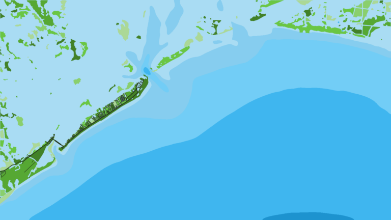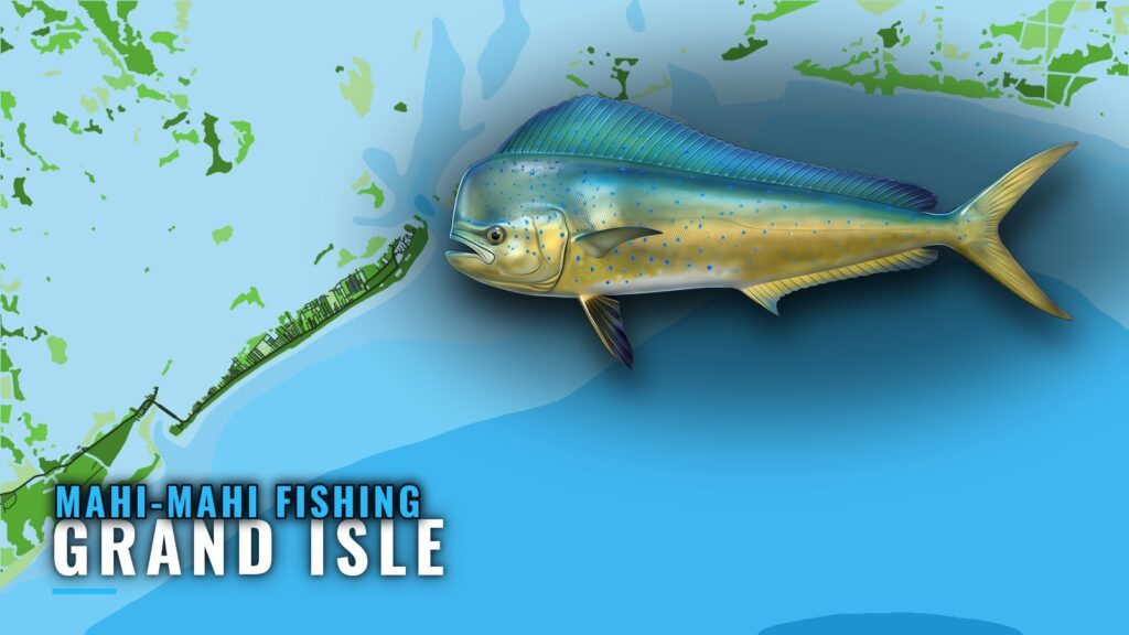
Mahi-mahi fishing out of Grand Isle means running offshore from Barataria Pass or Caminada Pass to the rigs, reefs and banks south of the island. This guide names the structure, gives depths and one bearing to load, points to the station to read before you go, and lists who fishes these waters. It won’t promise fish, but it should help you decide where to look. The mahi-mahi species guide covers how the fish live, the Gulf of Mexico mahi regional guide (see also the wider Gulf of Mexico guide) covers the wider Gulf, and our offshore gamefish guides cover the rest. This page stays on Grand Isle.
When mahi are around Grand Isle
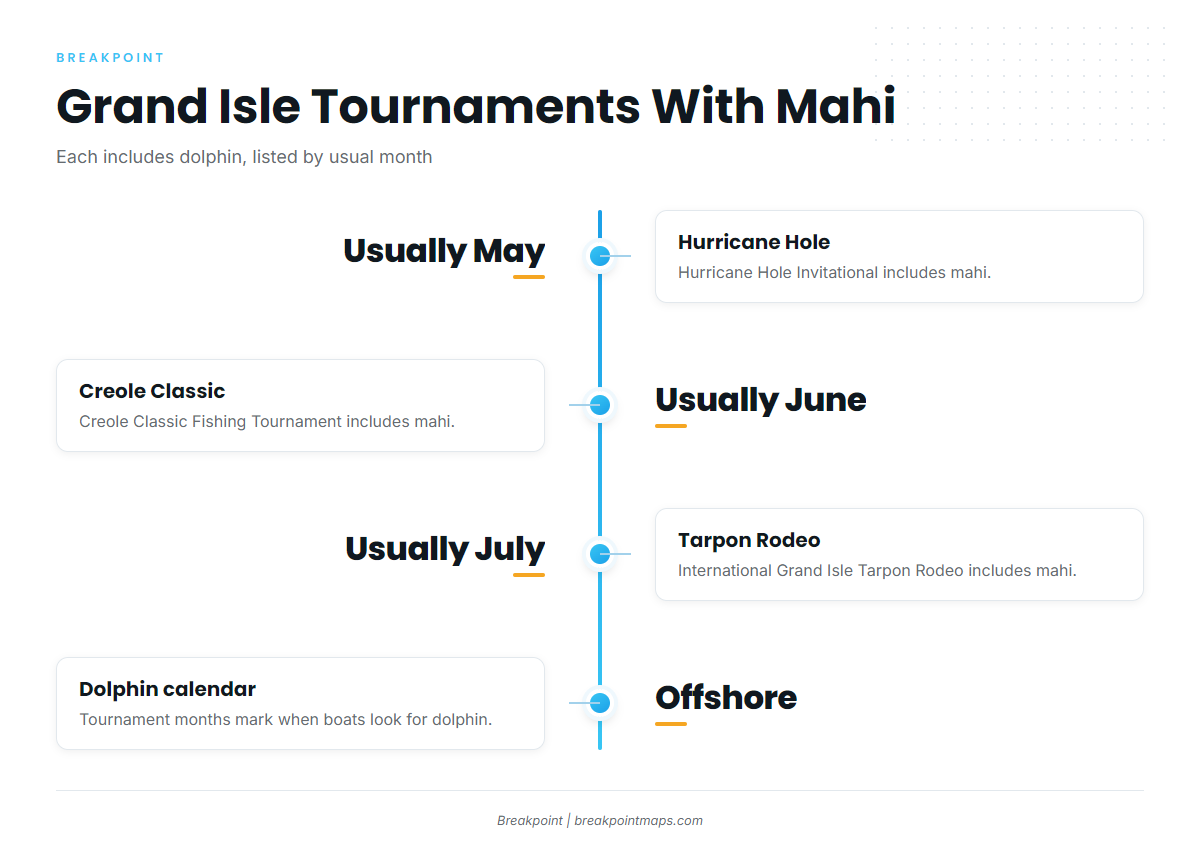
The Grand Isle tournaments that include mahi usually run in May, June and July, which are the months local boats are offshore looking for dolphin, as locals call mahi-mahi. We don’t name any one of them as the peak. The regional guide covers the Gulf season.
- May: Hurricane Hole Invitational
- June: Creole Classic Fishing Tournament
- July: International Grand Isle Tarpon Rodeo
Running offshore from Grand Isle
Boats run offshore from here, and no single ground defines the run. The structure is spread across reef, platforms and bank, south of the passes.
Barataria and Caminada passes
The island sits between Barataria Pass to the east and Caminada Pass to the west. Both open to the Gulf and serve as reference points for the structure below. The Exxon-Mobil platform group is southwest of Barataria Pass, and the Caminada Pass jetties are at the west pass.
Reading GISL1 before the run
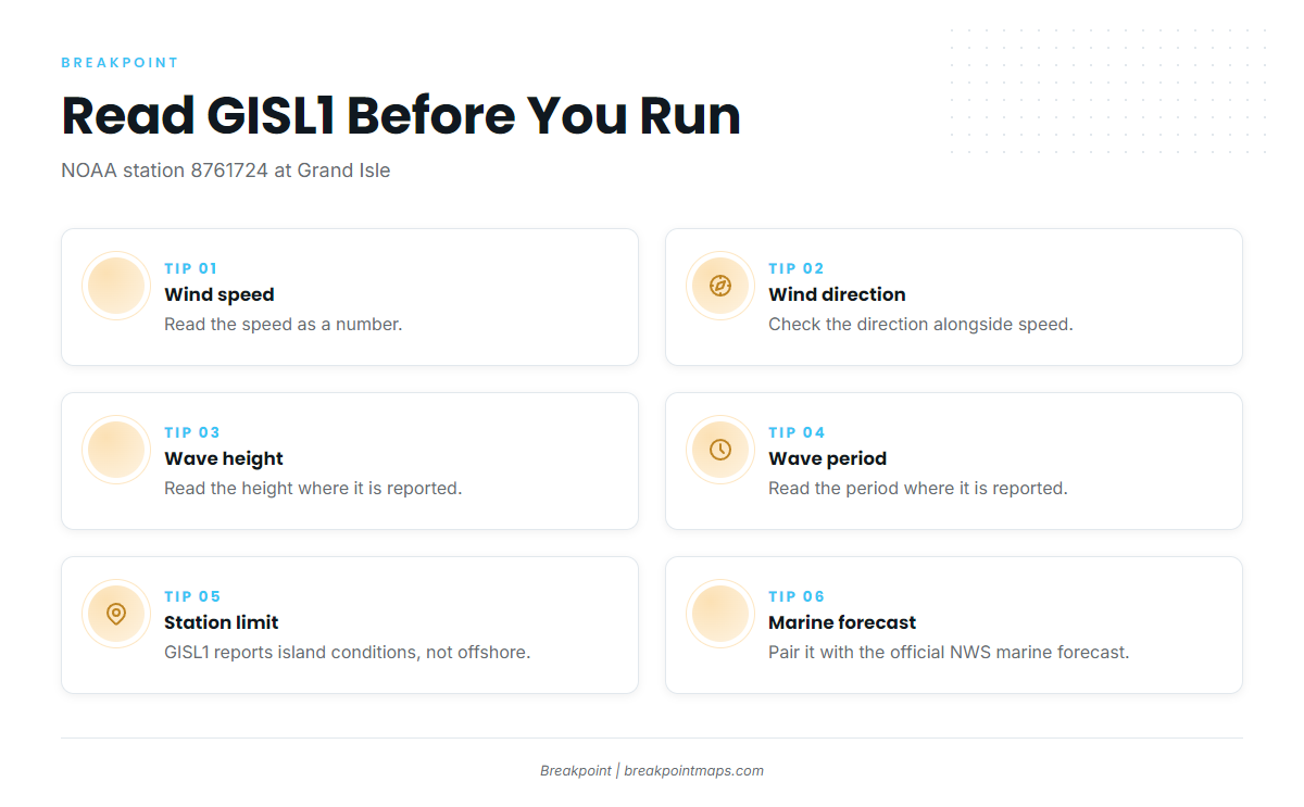
The nearest NOAA station is the NOAA NDBC station GISL1 page, station 8761724 at Grand Isle, LA, 29.265 N, 89.958 W.
GISL1 is a fixed station at Grand Isle, so it reports conditions at the island, not at the offshore structure. Read wind speed and direction, and wave height and period where reported, as numbers. Pair them with the official NWS marine forecast before you run.
Grounds and structure near Grand Isle
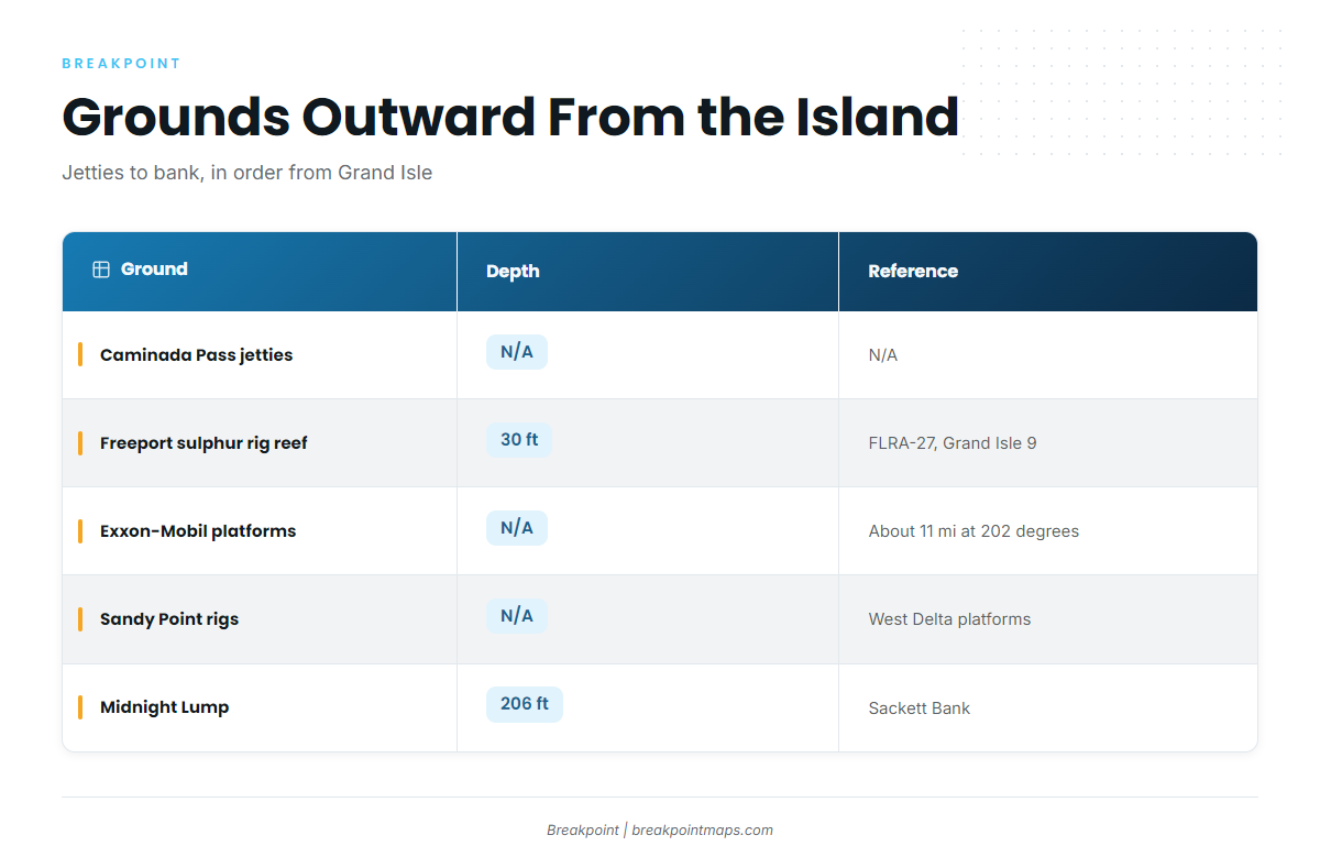
Chart positions and Breakpoint layers are not for navigation. The list below runs outward from the island: jetties, the 30 ft reef, the platform groups, then the 206 ft bank.
| Ground | Other names | Depth | Reference |
|---|---|---|---|
| Caminada Pass jetties | |||
| Freeport sulphur rig reef | FLRA-27, Grand Isle 9 | 30 ft | |
| Exxon-Mobil platforms southwest of Barataria Pass | L, BB, CC, 9M, 019, J, P, Q, R, S, T, U, W | About 11 miles at 202 degrees from the green No. 1 ATON | |
| Sandy Point rigs | West Delta platforms: Green Monster, MX-WD 23-3, MX-WD 24-4, MX-WD 23-FLARE No. 3 | ||
| Midnight Lump | Sackett Bank | 206 ft (crest about 206 ft) |
Caminada Pass jetties
The jetties at Caminada Pass are named structure at the west end of the island and the closest ground on this list to the port.
Freeport sulphur rig reef (Grand Isle 9)
The Freeport sulphur rig reef carries the designation FLRA-27, and locals call it Grand Isle 9. It sits in 30 ft.
Exxon-Mobil platforms southwest of Barataria Pass
The group sits about 11 miles at 202 degrees from the green No. 1 ATON. The platforms are L, BB, CC, 9M, 019, J, P, Q, R, S, T, U and W.
Sandy Point rigs
The Sandy Point rigs are West Delta platforms: Green Monster, MX-WD 23-3, MX-WD 24-4 and MX-WD 23-FLARE No. 3.
Midnight Lump
Midnight Lump, also charted as Sackett Bank, crests about 206 ft. It is the farthest ground out in this sequence.
How mahi are fished from Grand Isle and who fishes them
Local boats fish offshore structure, and the tournaments below draw the port’s mahi anglers.
Local methods
The methods local boats use are listed in the offshore species list on our Grand Isle port guide.
Tournaments
Three Grand Isle tournaments include mahi, which the tournament calendar often lists as dolphin. They are ordered here by usual month:
- Hurricane Hole Invitational: usually May
- Creole Classic Fishing Tournament: usually June
- International Grand Isle Tarpon Rodeo: usually July
FAQ about mahi-mahi fishing out of Grand Isle
How far is the Exxon-Mobil platform group from Barataria Pass?
The group sits about 11 miles at 202 degrees from the green No. 1 ATON, southwest of Barataria Pass.
How deep is Midnight Lump?
Midnight Lump, also charted as Sackett Bank, crests about 206 ft.
What is Grand Isle 9?
Grand Isle 9 is the local name for the Freeport sulphur rig reef, FLRA-27, which sits in 30 ft.
Which buoy should I check before running offshore?
Check NOAA station GISL1 (8761724) at Grand Isle, 29.265 N, 89.958 W. It reports island conditions, not offshore conditions, so pair it with the NWS marine forecast.
Which Grand Isle tournaments include mahi?
The Hurricane Hole Invitational (usually May), the Creole Classic Fishing Tournament (usually June) and the International Grand Isle Tarpon Rodeo (usually July) include mahi.