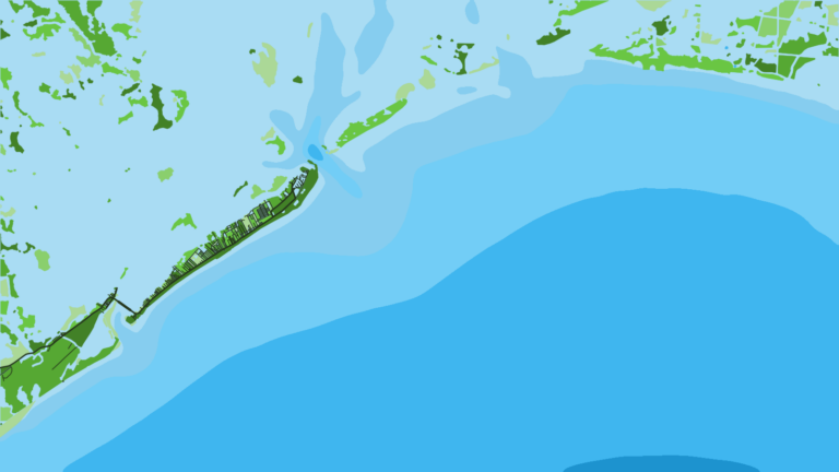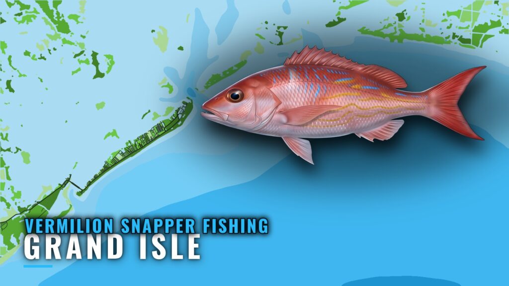
Vermilion snapper fishing out of Grand Isle is offshore work. The local species list includes them alongside red, mangrove and lane snapper. This page covers the named structure off Grand Isle, the numbers published for each spot, and where to check conditions before you run. Biology and general technique are in the vermilion snapper guide. The wider picture is in the vermilion snapper fishing in the Gulf of Mexico and the Gulf of Mexico region guide.
When vermilion snapper are around Grand Isle
Captain John’s Fin-Tastic Charters lists snapper in summer and fall. The listing doesn’t separate species, so it doesn’t show which months favor vermilion. The same operator says, "Fishing is available year-round."
No month-level timing for vermilion at this port has been published, so this page doesn’t name a peak. For the regional picture, see the Gulf reef fish guides.
| Season | Local listing |
|---|---|
| Summer | Snapper listed |
| Fall | Snapper listed |
| Year-round | "Fishing is available year-round." |
How far boats run and where
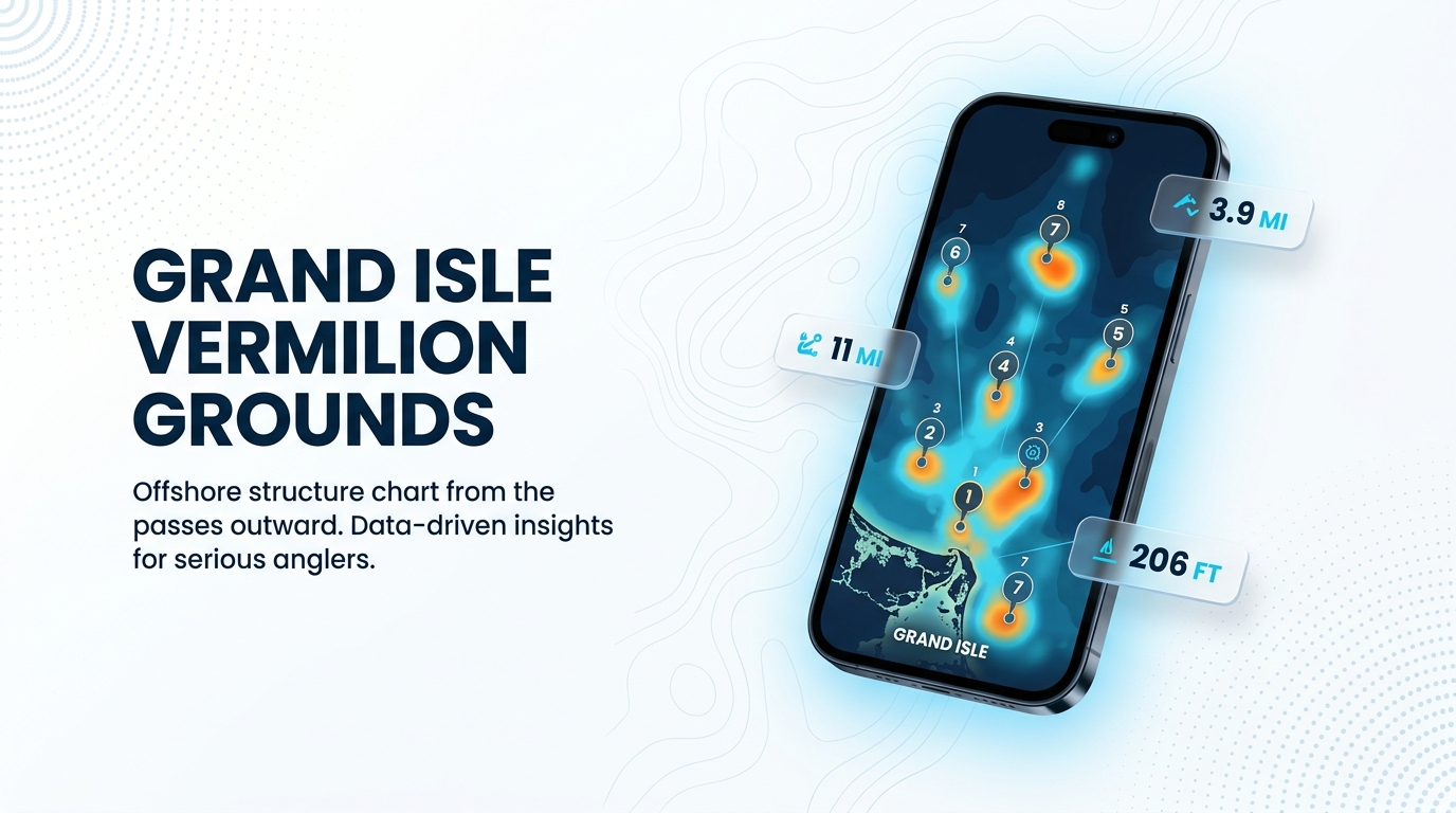
Boats run offshore for vermilion, and no single ground is named as the vermilion spot. The platforms and reefs below are the named structure off the port, ordered from the passes outward. The only distances given are those printed with each ground.
Grounds and structure near Grand Isle
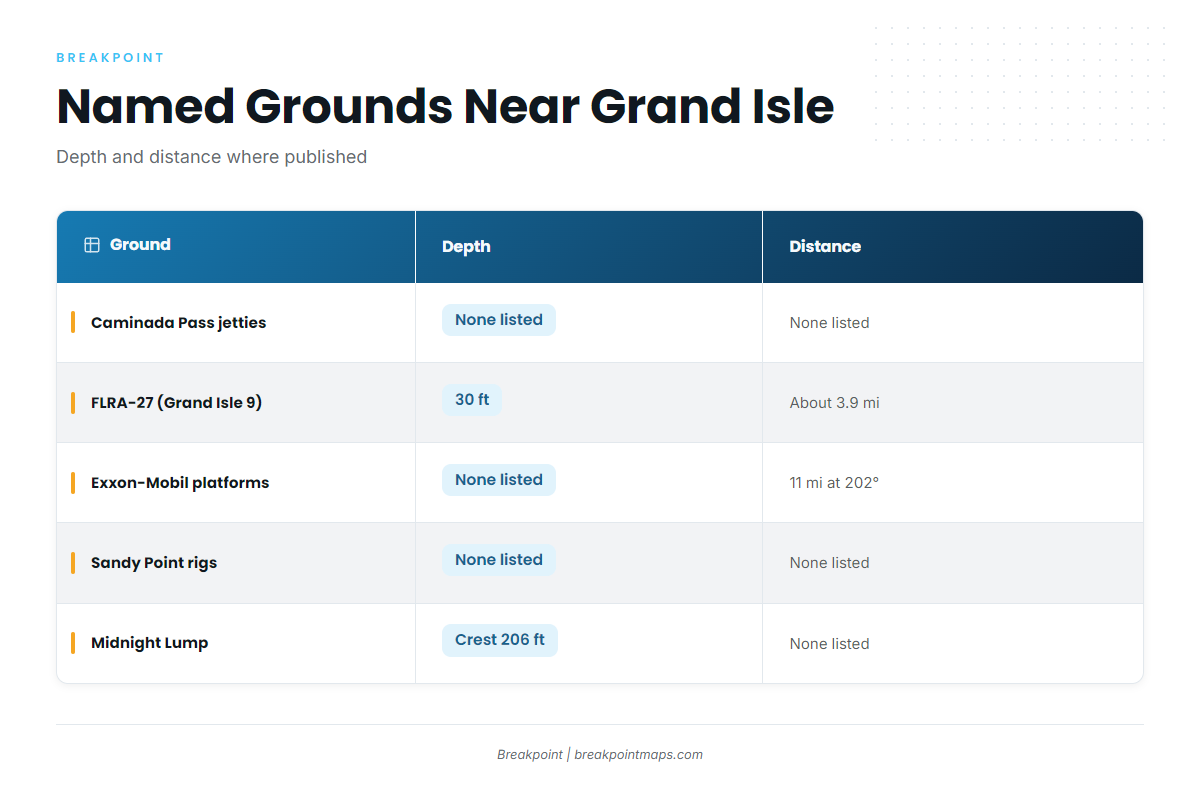
These are the named grounds near Grand Isle. None is claimed to hold vermilion specifically.
| Ground | Depth | Distance and bearing |
|---|---|---|
| Caminada Pass jetties | None published | |
| Freeport sulphur rig reef (FLRA-27) | 30 ft | About 3.9 miles |
| Exxon-Mobil platforms | About 11 miles at 202 degrees from the green No. 1 ATON | |
| Sandy Point rigs (West Delta platforms) | None published | |
| Midnight Lump (Sackett Bank) | Crest about 206 ft | None published |
Caminada Pass jetties
This is jetty structure at Caminada Pass. No distance or bearing is published.
Freeport sulphur rig reef (FLRA-27, Grand Isle 9)
Reef FLRA-27, also called Grand Isle 9, sits in 30 ft of water about 3.9 miles out.
Exxon-Mobil platforms southwest of Barataria Pass
These platforms lie about 11 miles at 202 degrees from the green No. 1 ATON, with Barataria Pass as the reference for the bearing. The platforms are:
- L
- BB
- CC
- 9M
- 019
- J
- P
- Q
- R
- S
- T
- U
- W
Sandy Point rigs (West Delta platforms)
No depth or distance is published for these platforms:
- Green Monster
- MX-WD 23-3
- MX-WD 24-4
- MX-WD 23-FLARE No. 3
Midnight Lump (Sackett Bank)
The crest sits at about 206 ft.
Reading GISL1 before you run
The nearest NOAA buoy is NOAA station GISL1 at Grand Isle, NDBC station 8761724, at 29.265 N, 89.958 W. Check its live readings before you run, along with the NWS New Orleans marine forecast. Chart layers are not for navigation.
How vermilion are fished from Grand Isle and who fishes them
On the offshore species list
Vermilion snapper appear on Captain John’s offshore species list with red, mangrove and lane snapper. That is the only local method detail published for this port.
Captain John’s Fin-Tastic Charters
Capt John Chauvin runs Captain John’s Fin-Tastic Charters, which lists vermilion snapper and runs multiple boats for large parties.
FAQ: vermilion snapper fishing out of Grand Isle
When are snapper listed at Grand Isle?
Captain John’s lists snapper in summer and fall, without splitting by species. The same operator says fishing is available year-round.
How far do boats run for vermilion?
Boats run offshore, and no single ground is named. The named structure ranges from FLRA-27 at about 3.9 miles to the Exxon-Mobil platforms at about 11 miles at 202 degrees. Midnight Lump sits farther out, with no published distance.
How deep is Midnight Lump?
The crest of Midnight Lump (Sackett Bank) sits at about 206 ft.
Where is the GISL1 station?
NDBC station 8761724 is at Grand Isle, LA, at 29.265 N, 89.958 W. Check its live readings alongside the NWS marine forecast.
Is there a charter that lists vermilion and handles large groups?
Captain John’s Fin-Tastic Charters (Capt John Chauvin) lists vermilion snapper and runs multiple boats for large parties.