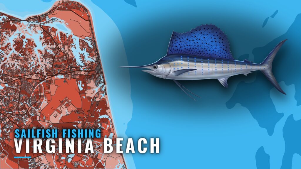
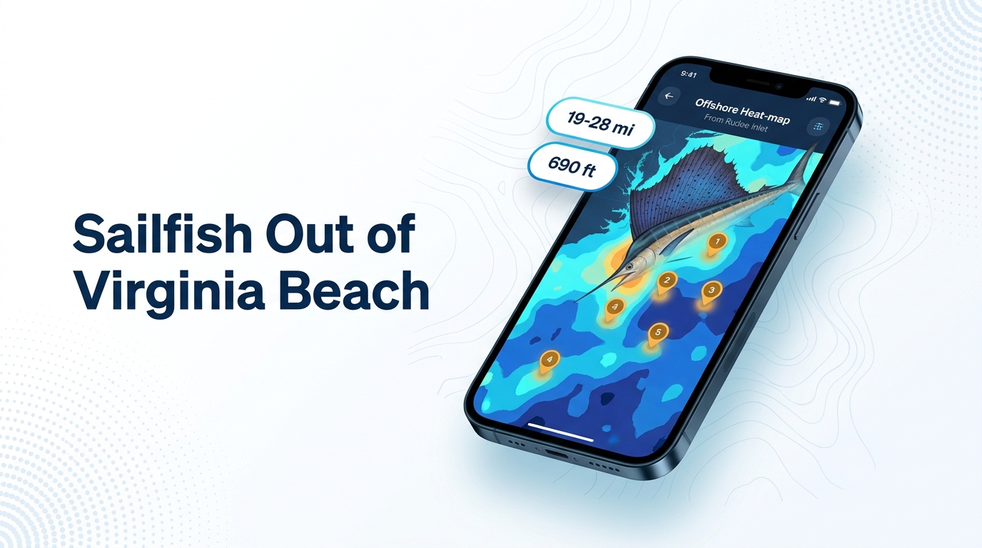
Sailfish fishing out of Virginia Beach is a bycatch game. Sails occasionally show on the offshore trolling grounds where boats pull a spread for white marlin, and the port has no dedicated sailfish fishery. Offshore trips run May through October, and the Virginia Beach Billfish Tournament (VBBT) fishes in August. Boats leave from Rudee Inlet at the south end of the oceanfront. For the species itself, see our sailfish guide. This page covers how far boats run from Rudee Inlet, the named grounds, how sails are fished and who targets them.
When sailfish are around Virginia Beach
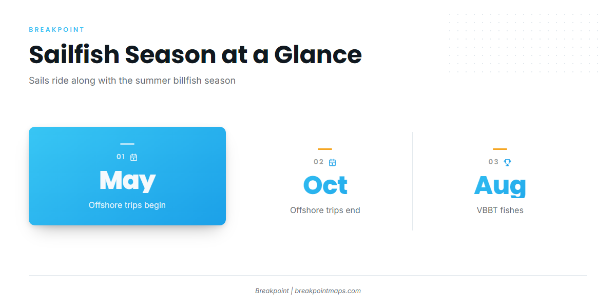
Sailfish ride along with the summer billfish season. E-Fishinsea runs offshore trips May through October, and that is the working window for boats chasing billfish out of this port. The VBBT is usually held in August, when the tournament fleet is on the grounds. For timing beyond this port, see the regional picture (see also the Atlantic Northeast fishing guide).
- May through October: offshore trips
- August: VBBT, usually
- Species mix: sailfish show up in the billfish spread, not on their own schedule
Where boats run from Rudee Inlet
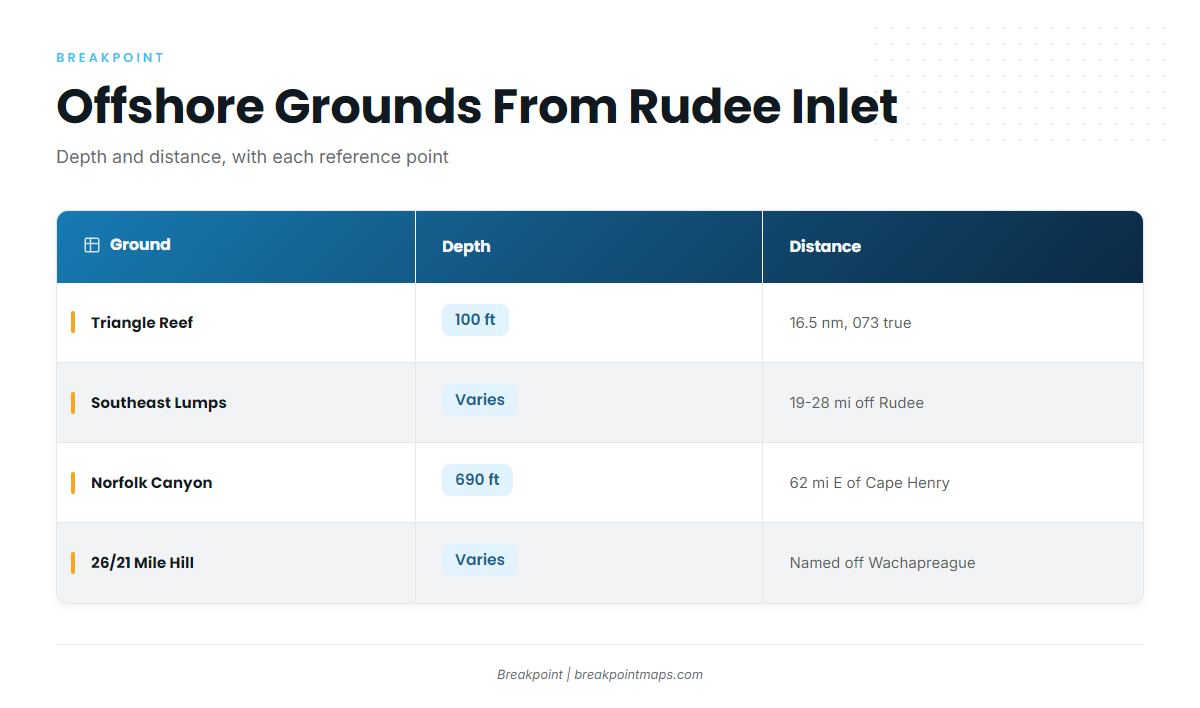
The trolling grounds sit offshore, in the same water boats fish for marlin. A 1994 Roanoke Times list places the sailfish shows at the Southeast Lumps. Depths and distances below are as sourced, so check the reference point on each line.
| Ground | Depth | Distance and reference point |
|---|---|---|
| Chesapeake Light Tower | ||
| Triangle Reef (Triangle Wrecks) | 100 ft | 16.5 nm on 073 degrees true from Chesapeake Light Tower |
| Tower Reef | Listed by VMRC among offshore sites | |
| Southeast Lumps | 19 to 28 miles off Rudee Inlet (1994 list) | |
| The Cigar | ||
| The Fingers | ||
| Norfolk Canyon | 690 ft | About 62 miles east of Cape Henry (1994 list) |
| 26 Mile Hill and 21 Mile Hill | Named for distance from Wachapreague Inlet |
The run depends on wind, wave height and period. Read the NWS Wakefield marine forecast for the 20 nm and 20-60 nm zones before you commit to a distance. No NOAA buoy or tide station sits at Rudee Inlet itself.
The Chart Contours layer in Breakpoint shows the bottom around the Southeast Lumps and the canyon edge. Chart layers are not for navigation.
Chesapeake Light Tower and Triangle Reef
The Light Tower is the landmark. Triangle Reef (Triangle Wrecks) sits in 100 ft, 16.5 nm on 073 degrees true from the tower. That bearing is taken from the tower, not from the inlet.
Tower Reef
VMRC lists Tower Reef among offshore sites.
Southeast Lumps
A 1994 Roanoke Times list puts the Southeast Lumps 19 to 28 miles off Rudee Inlet and says sailfish occasionally show there.
The Cigar and The Fingers
Both are offshore structure that boats fish near Virginia Beach.
Norfolk Canyon
Norfolk Canyon is 690 ft deep and about 62 miles east of Cape Henry, per the 1994 list. The distance is measured from Cape Henry, so the run from Rudee Inlet will differ.
26 Mile Hill and 21 Mile Hill
The names come from distance off Wachapreague Inlet on the Eastern Shore. They are not run distances from Rudee, so don’t plan fuel from the name.
How sailfish are fished here
Sails are trolled with the billfish spread. Boats rig for white marlin, and a sail is the fish that comes up in it. For the spread itself, start with our billfish trolling pages.
- Pull the spread over structure on the offshore grounds
- Expect white marlin to set the plan
- Treat a sail as a fish that may show, not one you can plan on
Release-only scoring
The VBBT scores sailfish as release only, so handle the fish accordingly.
Who fishes for sailfish out of Virginia Beach
Two local charters list sailfish, and the VBBT fleet targets them in August.
E-Fishinsea Sport Fishing Charters
Capt. Greg Weaver runs offshore trips May through October with E-Fishinsea Sport Fishing Charters.
AquaMan Sportfishing
AquaMan Sportfishing offshore trips run on The Flat Line and the 54 ft Game On, which is Coast Guard certified for up to 18.
Virginia Beach Billfish Tournament
The VBBT is usually held in August and scores sailfish as release only.
FAQ: sailfish out of Virginia Beach
How good is sailfish fishing out of Virginia Beach?
Sailfish occasionally show. They come up in the marlin spread on the offshore grounds, and a 1994 Roanoke Times list places them at the Southeast Lumps. Plan the trip around marlin water and treat a sail as a bonus.
What months do boats fish offshore for sailfish?
Offshore trips run May through October. The VBBT runs in August.
How far is the Southeast Lumps from Rudee Inlet?
The Southeast Lumps sit 19 to 28 miles off Rudee Inlet, per the 1994 list.
How deep and how far is Norfolk Canyon?
Norfolk Canyon is 690 ft deep and about 62 miles east of Cape Henry, per the 1994 list.
Does the VBBT count sailfish?
Yes, as release only. The tournament is usually in August.
Which Virginia Beach charters list sailfish?
E-Fishinsea Sport Fishing Charters, with Capt. Greg Weaver, and AquaMan Sportfishing list sailfish. AquaMan runs The Flat Line and the 54 ft Game On, certified for up to 18.