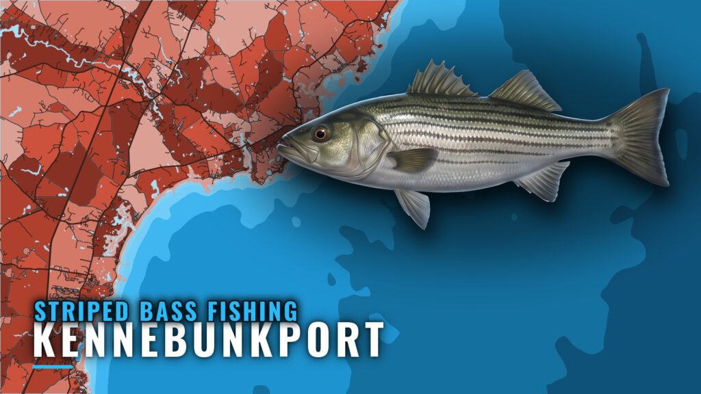
Striped bass fishing out of Kennebunkport centers on the Kennebunk River, its inlets and the tidal Kennebunks coast, with named ledges and banks farther out. Local guides plan trips by tide and weather. This guide covers timing, where boats run, nearby structure, how it is fished and who fishes it.
When striped bass are around Kennebunkport
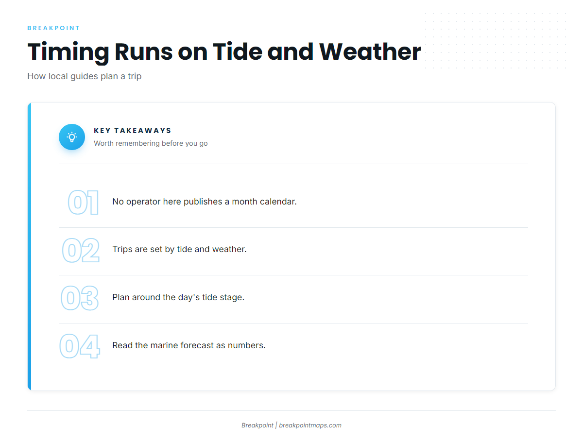
No operator here publishes a month calendar; trips are set by tide and weather. For the general picture of striper behavior and migration, see our striped bass fishing guide.
Plan by tide and weather
Captain Greg Metcalf’s site lists trips by tide and weather and describes flexible sailing times from Kennebunkport. Two things drive the plan:
- Tide stage for the day. Check it before you set a departure time.
- The marine forecast. Read it as numbers: wind in knots, wave height in feet and period in seconds.
Use the official NOAA marine forecast for those numbers. Chart layers and apps are not for navigation.
Where boats run out of Kennebunkport
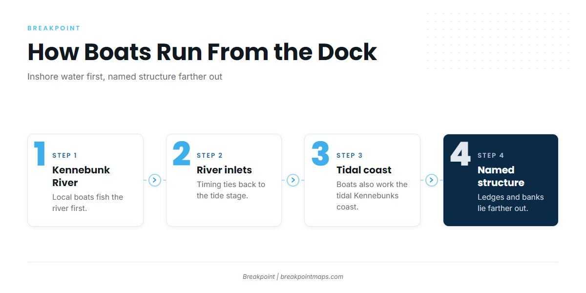
The Kennebunkport port page carries harbor, launch and conditions detail. Striped bass fishing out of Kennebunkport runs on inshore water first.
Kennebunk River and inlets
Local boats fish the Kennebunk River and the river inlets. Timing here depends on tide stage, so set your plan around the tide before you set it around the clock.
Tidal Kennebunks coast
Boats also work the tidal Kennebunks coast. Captain Greg’s site describes this as Kennebunkport coastal fishing, with sailing times flexible from the port. Named structure lies farther out, past the coast.
Grounds and structure near Kennebunkport
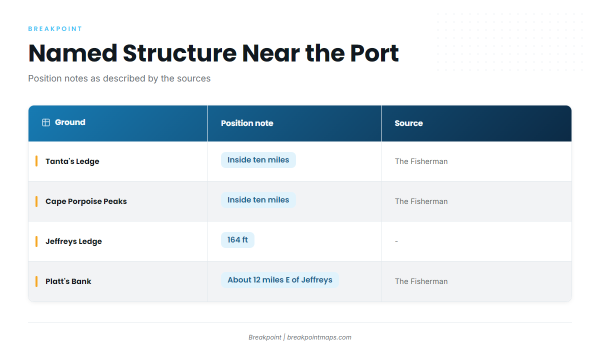
Four named grounds sit near the port. They are structure rather than striper spots, so treat them as places to read on the chart.
| Ground | Position note | Source |
|---|---|---|
| Tanta’s Ledge | Inside ten miles | The Fisherman |
| Cape Porpoise Peaks | Inside ten miles | The Fisherman |
| Jeffreys Ledge | 164 ft | |
| Platt’s Bank | Roughly 12 miles east of Jeffreys Ledge | The Fisherman |
The Chart Contours layer shows the ledge and bank structure. Chart layers are not for navigation.
Inside ten miles
The Fisherman describes Tanta’s Ledge and Cape Porpoise Peaks as lying inside ten miles. That is the publication’s description, not a measured run.
Jeffreys Ledge and Platt’s Bank
Jeffreys Ledge sits at 164 ft. The Fisherman places Platt’s Bank roughly 12 miles east of Jeffreys Ledge. For wider Gulf of Maine and Northeast context, see the Atlantic Northeast striper guide (see also the Atlantic Northeast offshore fishing guide).
How stripers are fished and who fishes for them here
Anglers who also fish the offshore grounds for other gamefish can find those species in our coastal and offshore gamefish guides.
Light tackle, spin and fly
Local half-day charters fish light tackle, spin and fly, according to Cast-Away’s half-day charters and Stone Coast. Libreti Rose says all bait and tackle supplied is part of the trip.
Local charters
These operators list striped bass out of Kennebunkport:
- Cast-Away Fishing Charters. Capt. Niels Jacob, Registered Maine Guide. castawayfishingcharters.com
- Stone Coast Anglers Inc. Captain Paul J. kennebunkportfishingcharters.com
- Sportfishing with Captain Greg Metcalf. Capt. Greg Metcalf, USCG Master. captaingregmetcalf.com
- Libreti Rose Sport Fishing Charters (Libreti Rose II). Captain Bruce Hebert, USCG Master Captain and Registered Maine Guide. libretirose.com
- Dock Side Charter Services. Captain Dave. docksidecharterskpt.com/charter-services-2/
FAQ: Striped bass fishing out of Kennebunkport
When do stripers show up around Kennebunkport?
Local guides set trips by tide and weather rather than by month. Plan around the day’s tide stage and the marine forecast.
How far are the named grounds from Kennebunkport?
The Fisherman describes Tanta’s Ledge and Cape Porpoise Peaks as inside ten miles. It places Platt’s Bank roughly 12 miles east of Jeffreys Ledge, which sits at 164 ft.
Do Kennebunkport charters fish fly for stripers?
Yes. Cast-Away and Stone Coast list light tackle, spin and fly on half-day charters.
Is bait and tackle supplied on local charters?
Libreti Rose says all bait and tackle is supplied on board. That statement applies to that operator only.
Where are the striped bass rules for Maine?
The Maine Department of Marine Resources sets them. Check the Maine regulations page linked above before you fish.