When stripers are around Portland / South Portland
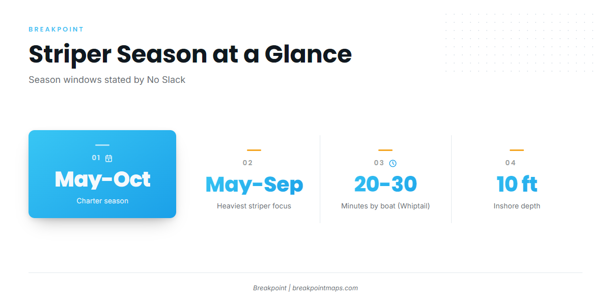
Striped bass fishing out of Portland / South Portland runs May through October, which is the charter season No Slack states. Its heaviest striper focus is May through September, so plan trips for those five months first and treat October as the tail of the season.
General biology and behavior of striped bass are covered in the species guide. The coastwide run that brings fish into Casco Bay is covered under Northeast striped bass (see also the Atlantic Northeast region guide).
| Window | Months | Source |
|---|---|---|
| Charter season | May through October | No Slack |
| Heaviest striper focus | May through September | No Slack |
Where boats run from South Portland
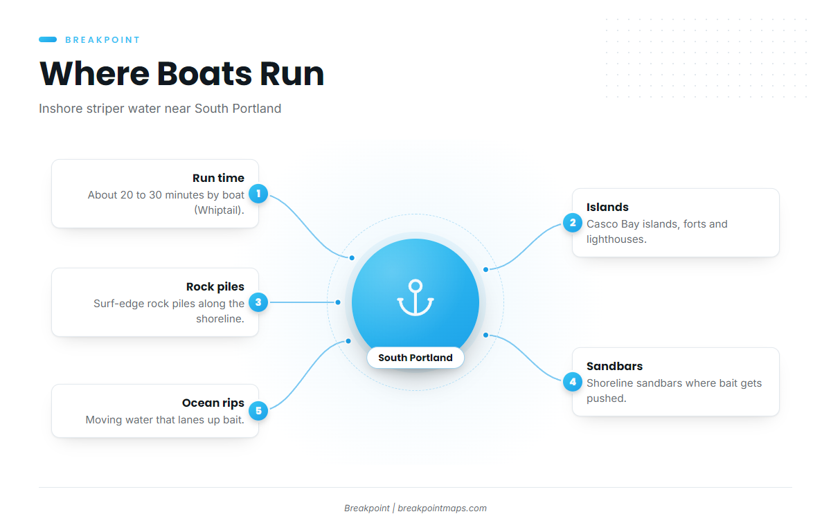
Local boats work the Casco Bay islands, forts and lighthouses, the rock piles and sandbars along the shoreline, and ocean rips. All of it is close to the dock.
Run time
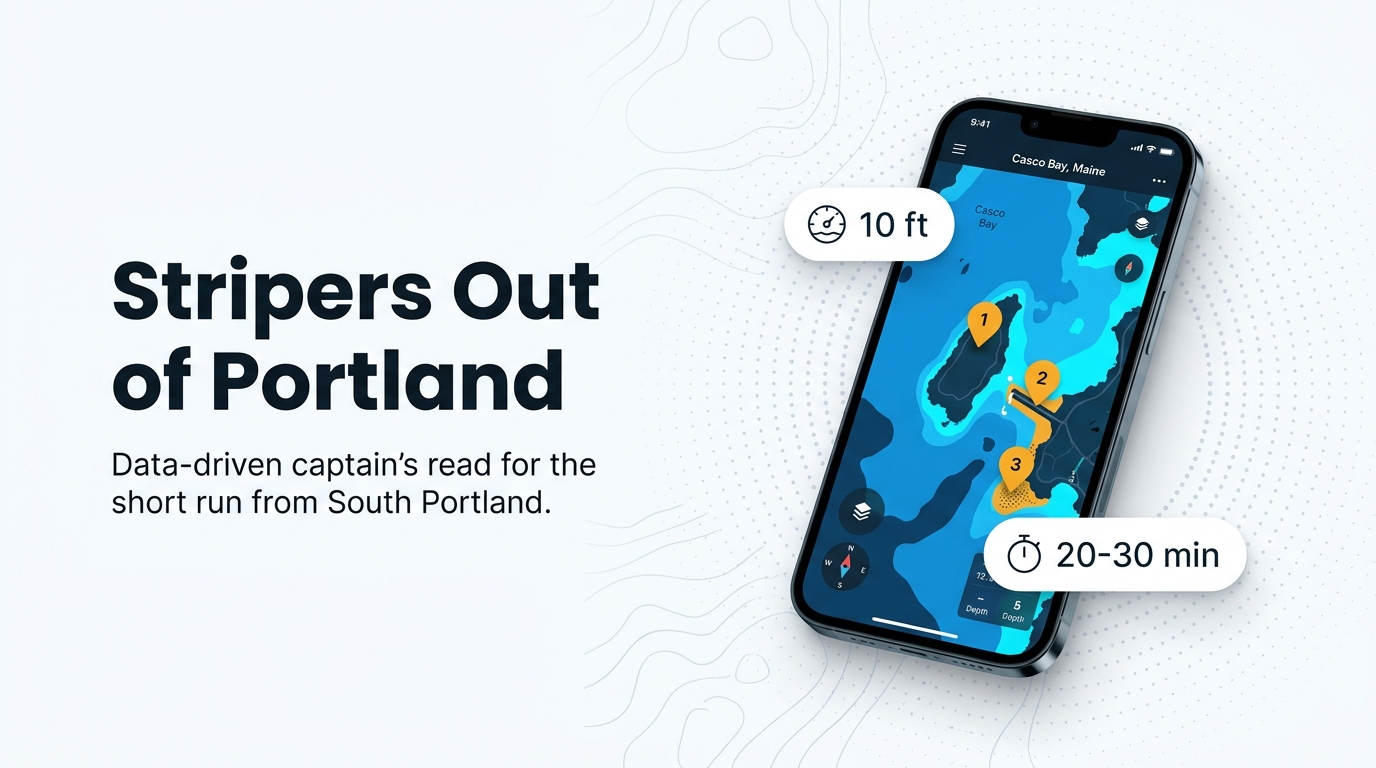
Whiptail puts fish about 20 to 30 minutes by boat from its South Portland dock. For an owner-operator, that makes striper water a short trip rather than an offshore commitment. A short run leaves more of the day for fishing, and the time spent catching bait fits inside the same trip.
Islands, forts and lighthouses
Boats fish around the Casco Bay islands, forts and lighthouses. Island edges and points bend current and give bait a place to stack, and stripers use that.
Shoreline edges and rips
The surf-edge rock piles and sandbars along the shoreline, plus ocean rips, make up the rest of the inshore picture. Moving water over a bar or through a rip pushes bait into a lane, where stripers can hold and feed without working hard.
Grounds and structure that hold stripers
Inshore striper structure from this port sits in about 10 ft of water. It includes a breakwater and light, a named ground near Eagle Island, and edges where rock meets sand.
Spring Point Ledge breakwater and light
Spring Point Ledge breakwater and light is named structure right off South Portland. A breakwater fishes well because it gives a hard edge, current along the rocks and bait tight to cover.
The Garden
The Garden is near Eagle Island in Casco Bay.
Where rock meets sand
Rock and Sand works Casco Bay water where rocks meet sand. The seam gives bait cover on one side and open feeding ground on the other, and stripers patrol it. Working depth for this kind of water is about 10 ft.
Chart Contours shows the rock-to-sand edges and depth changes that define this kind of structure. Chart layers are not for navigation.
Offshore grounds from this port
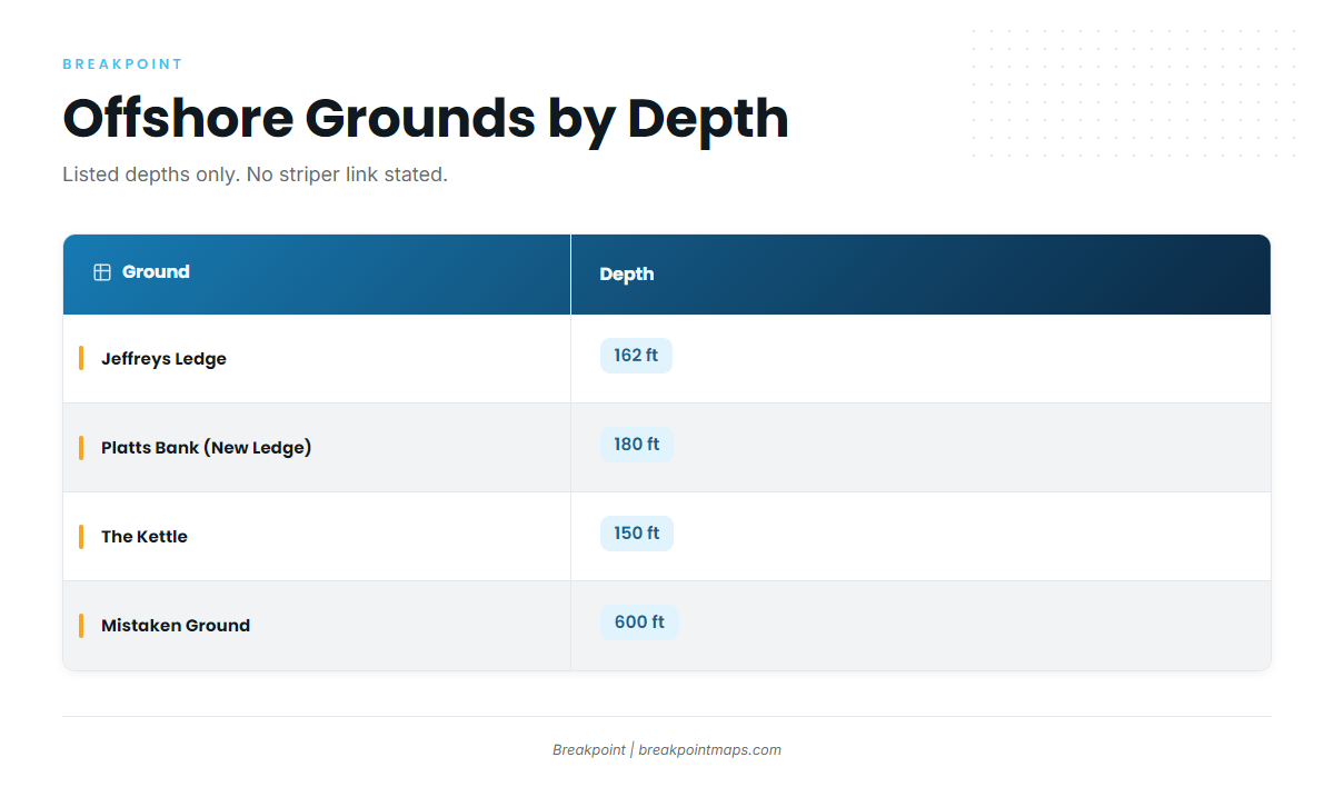
Jeffreys Ledge, Platts Bank, The Kettle and Mistaken Ground are the port’s wider offshore water. Boats out of this port also run to deeper grounds for offshore gamefish. The depths below are listed for reference, and nothing here ties these grounds to stripers.
| Name | Depth | Note |
|---|---|---|
| Jeffreys Ledge | 162 ft | |
| Platts Bank (New Ledge) | 180 ft | |
| The Kettle | 150 ft | |
| Mistaken Ground | 600 ft | About 10 miles from Platts Bank (New Ledge) |
These grounds sit at 150 to 600 ft, while the inshore striper water sits at about 10 ft.
How stripers are fished here
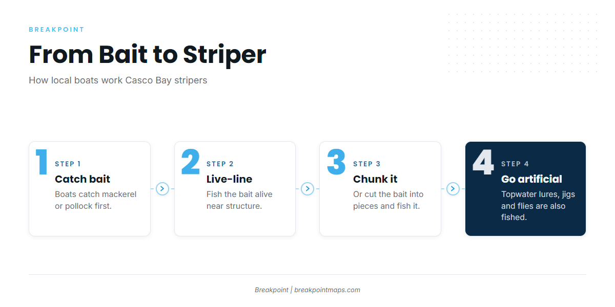
Local boats fish topwater lures, jigs, flies, chunk bait and live bait. The bait boats catch mackerel or pollock first.
Bait first: mackerel and pollock
Catch mackerel or pollock first, then fish them for stripers. Build bait-catching time into the start of the trip.
Live-lining and chunking
Live-lining fishes the bait alive, and live bait draws fish because it moves like the real thing. Chunking cuts the bait into pieces and fishes it on the bottom or drifted. No Slack says Maine requires circle hooks for bait fishing for stripers.
- Catch the bait – mackerel or pollock, first thing.
- Live-line it – fish the bait alive near structure.
- Chunk it – cut the bait and fish the pieces.
Topwater, jigs and flies
Three artificial approaches are used in this port:
- Topwater lures work the surface over shallow structure in about 10 ft.
- Jigs put a lure down through the water column near rock and sand edges.
- Flies suit shallow water and tight casting to structure.
Who fishes for stripers out of this port
These local charters list striped bass:
- Lucy B Charters: Capt. Chris, vessel Lucy B.
- Fore River Sportfishing
- Teazer Charter: Capt. Pete Morse.
- Tuna Maine Charters: Capt. Nick Nichols.
- No Slack! Sportfishing Charters: Capt. Carle, Registered Master Maine Tidewater Guide.
- Whiptail Adventures
A trip with someone who works this water is one way to see how the port fishes it.
FAQ: striped bass fishing out of Portland / South Portland
When are stripers around Portland / South Portland?
May through October is No Slack’s stated charter season, and its heaviest striper focus runs May through September. Plan your best trips inside that second window.
How far do you run from South Portland to reach stripers?
Whiptail puts fish about 20 to 30 minutes by boat from its South Portland dock. Boats work Casco Bay islands, forts and lighthouses, plus shoreline rock piles, sandbars and ocean rips.
What depth do stripers hold in here?
About 10 ft. Spring Point Ledge breakwater and light, The Garden near Eagle Island, and edges where rock meets sand are the named structure. Rock and Sand describes Casco Bay striper locations where rocks meet sand.
What bait do local boats use for stripers?
Mackerel or pollock, caught first, then live-lined or chunked. Boats also fish topwater lures, jigs and flies when bait is not the plan.
Do circle hooks apply when bait fishing for stripers?
No Slack says Maine requires circle hooks for bait fishing for stripers. Check the Maine saltwater regulations page linked in the Regulations section before you fish.
Are stripers fished on Jeffreys Ledge or Platts Bank?
Those are deeper offshore grounds: Jeffreys Ledge is 162 ft, Platts Bank (New Ledge) is 180 ft, The Kettle is 150 ft, and Mistaken Ground is 600 ft, about 10 miles from Platts Bank. Nothing here ties them to stripers. Inshore striper water sits at about 10 ft.