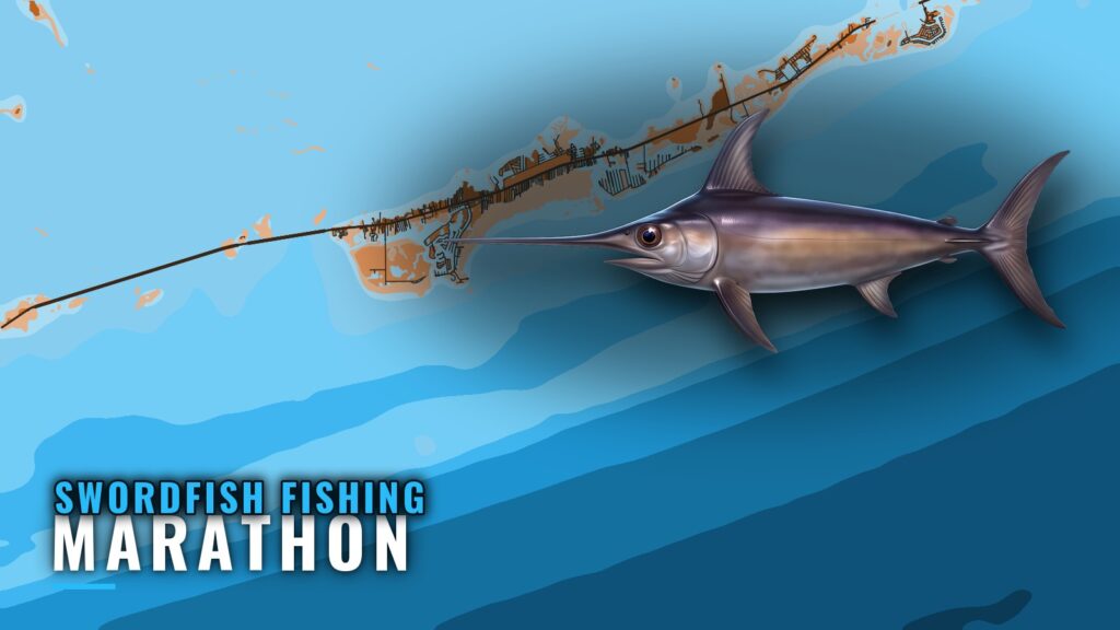
Where swordfish water sits off Marathon
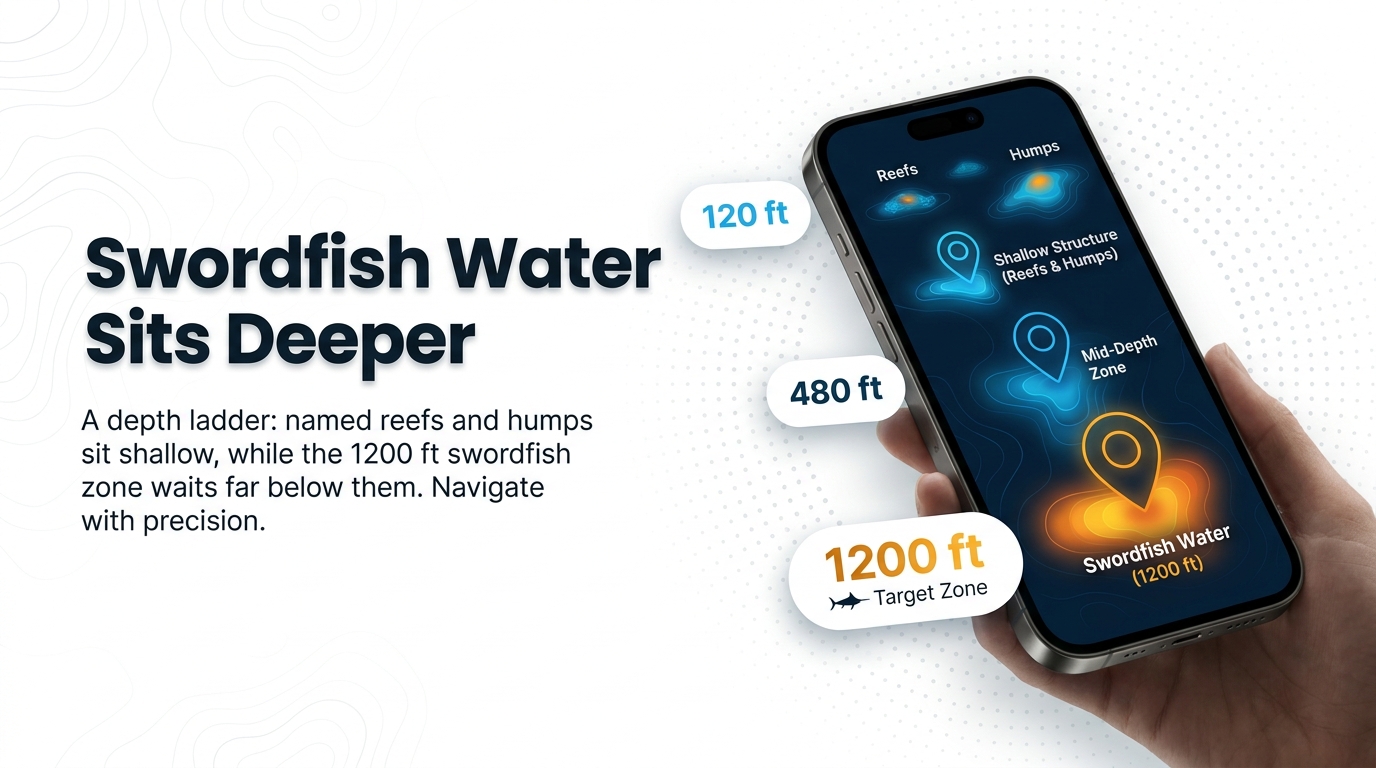
Swordfish fishing out of Marathon happens in about 1200 ft of water, past every named reef, wreck and hump on the run out. The Marathon port page covers getting out of the harbor. This page covers what you pass on the way and how each piece compares with that depth.
The named structure near Marathon runs from 24 ft to 480 ft, and none of it is swordfish water. It gives you waypoints for the run and shows how far the bottom still has to fall.
Reading the 1200 ft line
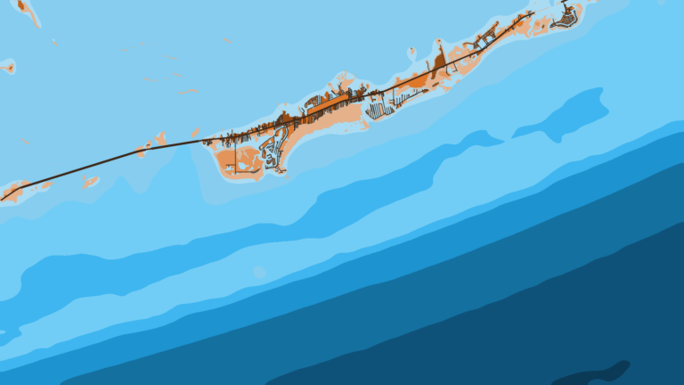
Before you leave the dock, trace the 1200 ft line on Chart Contours and mark where it sits relative to the hump you plan to pass.
Depth contours show bottom depth, not fish. Chart layers are not for navigation, so keep your charts and plotter as the primary tools. The layer’s value is in helping you decide where to look.
Grounds and structure on the run out
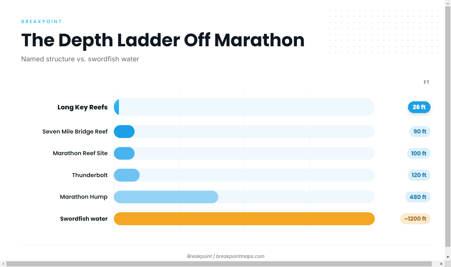
The named structure runs from 24 ft to 480 ft, with swordfish water at about 1200 ft beyond it. The table runs shallow to deep.
| Name | Depth | Structure | Location note |
|---|---|---|---|
| Long Key Reefs | 24 and 26 ft | Bridge spans and concrete | |
| Seven Mile Bridge Reef | 90 ft | Bridge spans and concrete | |
| Marathon Reef Site | 100 ft | Bridge rubble | |
| Thunderbolt | 120 ft | 4 miles south of Marathon and Key Colony Beach | |
| 409 Hump (also listed as 408 Hump) | Top Middle Keys blackfin tuna spot | ||
| Marathon Hump (Marathon West Hump) | 480 ft shallowest point |
Long Key Reefs
Long Key Reefs hold bridge spans and concrete at 24 and 26 ft. This is the shallowest named structure on the list.
Seven Mile Bridge Reef
Seven Mile Bridge Reef is bridge spans and concrete at 90 ft.
Marathon Reef Site
Marathon Reef Site is bridge rubble at 100 ft.
Thunderbolt
Thunderbolt sits at 120 ft, 4 miles south of Marathon and Key Colony Beach. Swordfish water is about 10 times that depth.
409 Hump (also listed as 408 Hump)
The 409 Hump is a top Middle Keys blackfin tuna spot.
Marathon Hump (Marathon West Hump)
The shallowest point of the Marathon Hump is 480 ft, which makes it the last named structure before swordfish depth. At about 1200 ft, swordfish water is roughly 2.5 times that.
Planning a swordfish trip from Marathon
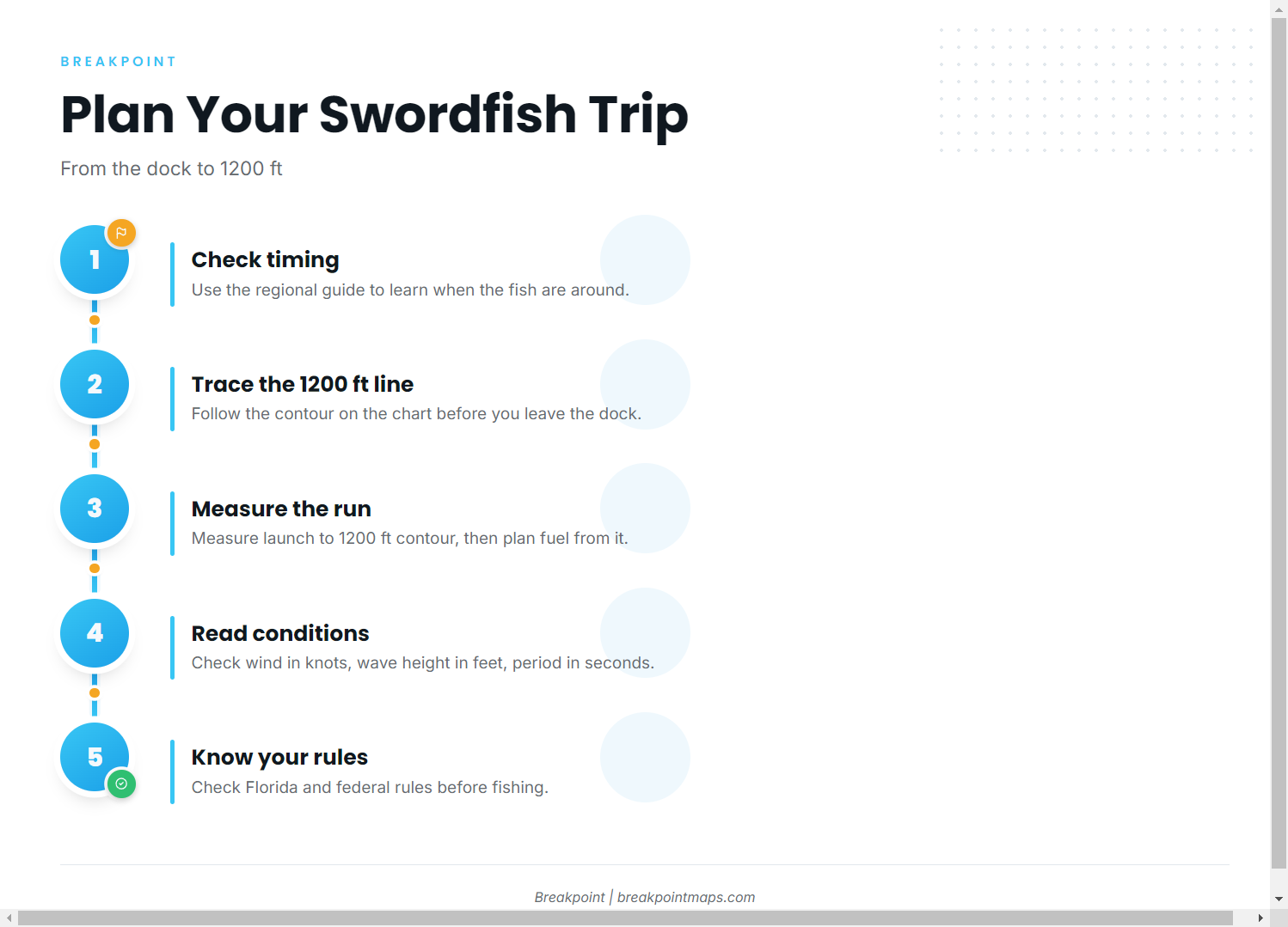
A trip breaks into five decisions: timing, distance, conditions, method and who else is on the water.
When the fish are around
Timing is covered in the Atlantic Southeast swordfish guide (see also the wider Atlantic Southeast guide), which is worth reading before you pick a window.
The run offshore
Thunderbolt, at 4 miles, is the nearest reference point. Beyond it, you’ll need to measure the run yourself: draw a line on the chart from your launch to the 1200 ft contour, read the distance, and plan fuel from that number.
Reading conditions
Check three numbers before you commit:
- Wind in knots
- Wave height in feet
- Period in seconds
The NWS Key West marine forecast gives the forecast figures, and NDBC station SMKF1 at Sombrero Key gives observations to compare them against. Check the forecast again before you cast off, since it can change.
How it is fished
The work happens at about 1200 ft, well below every named structure and about 2.5 times the depth of the hump’s shallowest point. For technique, see our swordfish guide.
Who fishes here
This page is written for owner-operators running their own boats. The reef and hump grounds are shared local water.
FAQ for swordfish fishing out of Marathon
How deep is swordfish water off Marathon?
About 1200 ft, past every named reef, wreck and hump on the run out.
How deep is the Marathon Hump?
Its shallowest point is 480 ft. Swordfish water is about 2.5 times deeper.
Where is Thunderbolt?
Thunderbolt is 4 miles south of Marathon and Key Colony Beach, in 120 ft.
Is it the 409 or 408 Hump?
It appears under both names. It is a top Middle Keys blackfin tuna spot.
What else should I read on billfish before the trip?
Start with our billfish fishing guides, then work back to the port and species pages above.