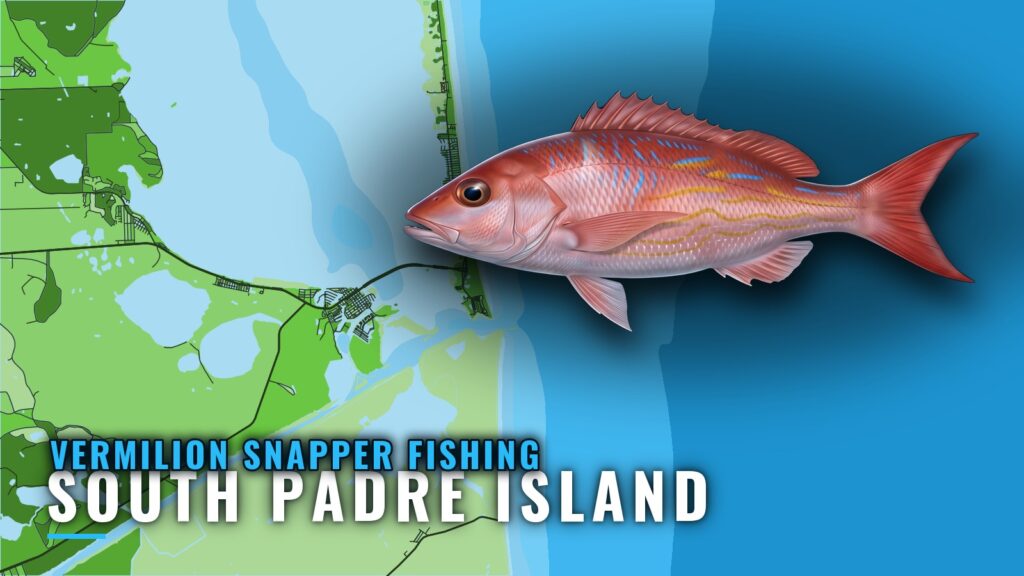
Where vermilion snapper sit off South Padre Island
Vermilion snapper fishing out of South Padre Island is a deeper-bottom, longer-trip fishery. Every run starts at Brazos Santiago Pass, and the distance you cover sets the depth you fish. The wider picture is in the vermilion snapper fishing in the Gulf of Mexico and the Gulf of Mexico region guide.
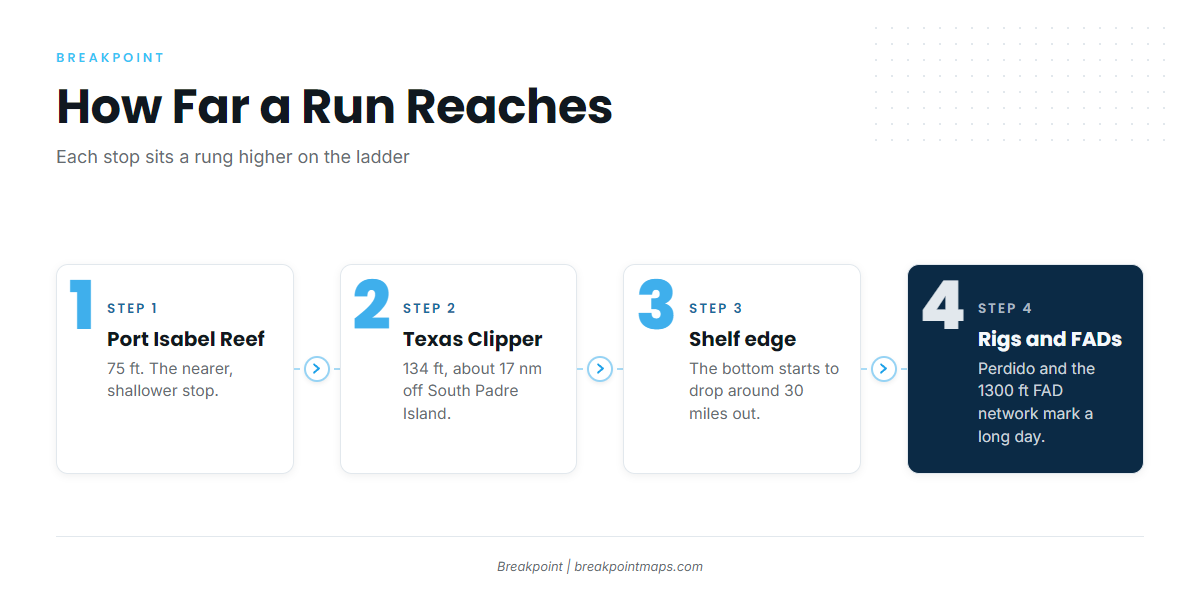
The grounds climb in steps:
- Port Isabel Reef at 75 ft and the Texas Clipper at 134 ft, about 17 nm off South Padre Island, are the nearer, shallower stops.
- The continental shelf edge starts to drop around 30 miles offshore.
- The deep-water rigs and the Texas FAD network, about 1300 ft, mark how far a long day reaches.
Seasonal behavior, depth preference and tackle are in our vermilion snapper guide.
This page covers where the structure is, how deep it sits, how far it is, how to read the pass, and who fishes it locally. It makes no promises about fish, but it should make the decision about where to look easier.
| Rung | What it is | Reach |
|---|---|---|
| Nearer stops | Port Isabel Reef, RGV Reef, Texas Clipper | Short of the shelf edge |
| Shelf edge | Where the bottom starts to drop | Around 30 miles offshore |
| Outer range | Deep-water rigs, Texas FAD network | Longest days |
Running out of Brazos Santiago Pass
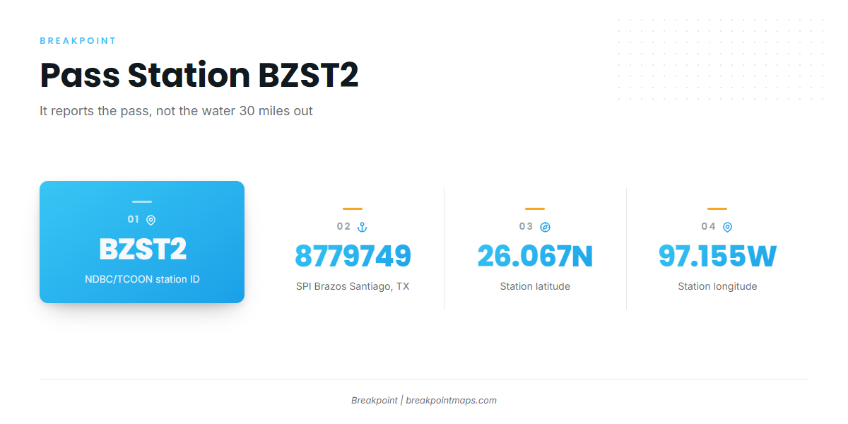
The pass is the only way to the Gulf from this port, and a reading taken there describes the pass, not the water beyond it.
The jetties
The North and South jetties flank the pass entrance to the Gulf. Every run to every ground below starts between them.
Reading BZST2
NDBC/TCOON station BZST2 (8779749), SPI Brazos Santiago, TX, sits at 26.067N 97.155W. It reports conditions at the pass, not what the water is doing 17 nm or 30 miles out.
- Station ID: BZST2 (8779749)
- Location: 26.067N 97.155W, SPI Brazos Santiago, TX
Read wind, wave height and period there, then check the NWS Brownsville coastal waters forecast before you run. The pass reading is only the first number.
Grounds and structure that hold vermilion
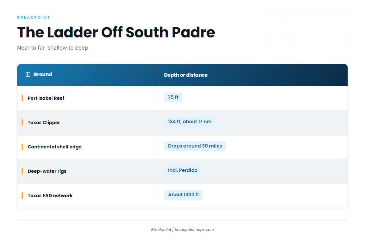
Work the grounds from near to far and from shallow to deep. The wider reef fish picture on this structure is in our reef fish guide.
| Name | Depth (ft) | Distance |
|---|---|---|
| Port Isabel Reef | 75 | |
| RGV Reef | ||
| Texas Clipper | 134 | About 17 nm off South Padre Island |
| Continental shelf edge | Starts to drop around 30 miles offshore | |
| Deep-water oil rigs (incl. Perdido) | ||
| Texas FAD network | About 1300 |
Port Isabel Reef
Port Isabel Reef sits in 75 ft. It is one of the nearer, shallower stops and the first rung of the ladder.
RGV Reef
Rio Grande Valley (RGV) Reef is among the nearer named structure off the port, on the same early rung as Port Isabel Reef.
Texas Clipper
The Texas Clipper lies in 134 ft, about 17 nm off South Padre Island, making it the deepest of the nearer stops. TPWD’s agency account of the site is on its Texas Clipper reef page.
Continental shelf edge
The shelf edge starts to drop around 30 miles offshore. The step from about 17 nm to around 30 miles is what turns a reef trip into a long day, and it is why the local charters that list vermilion stretch their trips.
Chart Contours shows where the bottom starts to fall away toward the shelf edge. Chart layers are not for navigation.
Deep-water rigs
The deep-water oil rigs, including Perdido, are part of how far a long day reaches. They sit well past the nearer reefs.
Texas FAD network
The Hilton and Houston Big Game Fishing Club buoys sit in about 1300 ft. Treat the network as the outer marker of the range rather than as vermilion bottom.
How vermilion are fished from this port
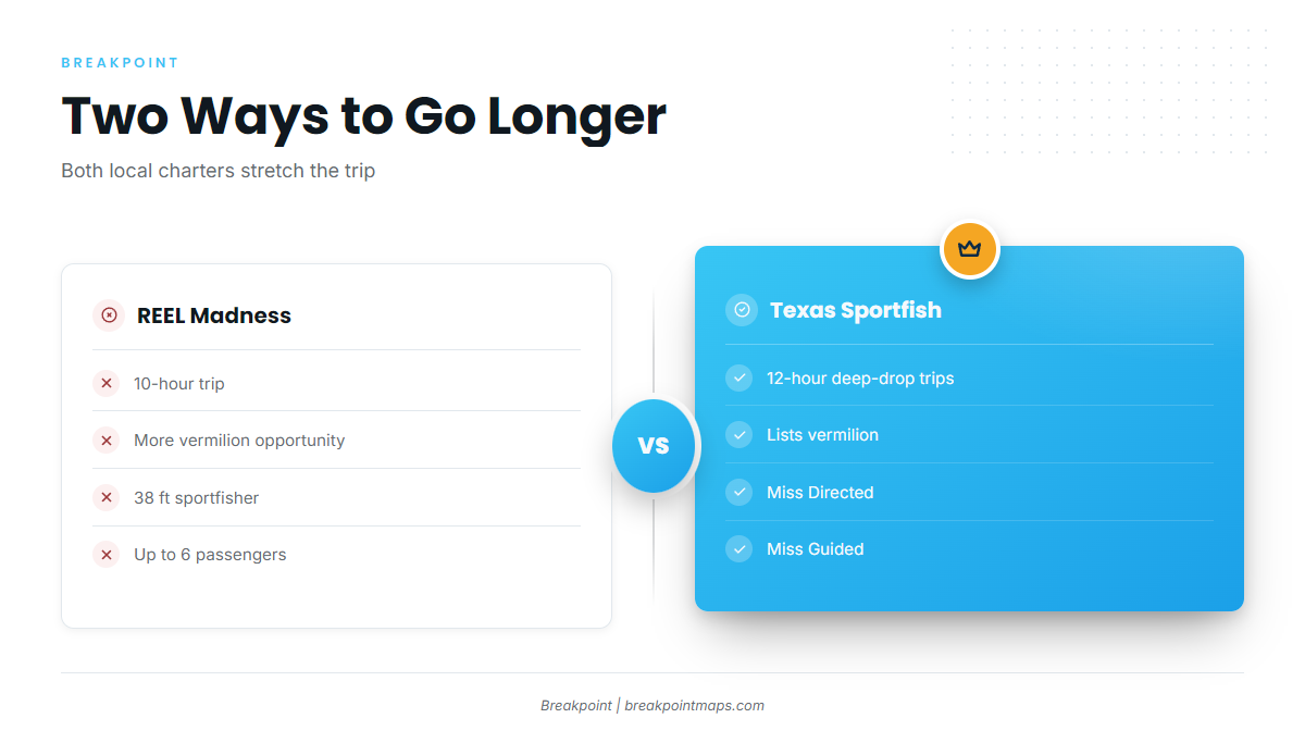
Local charters lengthen the trip to reach deeper bottom, which matches how the grounds are laid out.
Longer trips
Reel Madness says its 10-hour trip gives more vermilion opportunity. The extra hours buy distance to deeper bottom.
Deep-drop
Texas Sportfish lists vermilion on 12-hour deep-drop trips, which is the operator’s named trip type. For technique, see the species guide above.
Who fishes vermilion out of South Padre Island
Two local operators list vermilion snapper:
- South Padre Island Sportfishing (REEL Madness): a 38 ft sportfisher for up to 6 passengers, run by Captain Todd Lohry. Trip details are on the REEL Madness charter rates page.
- Texas Sportfish (Miss Directed / Miss Guided): lists vermilion on 12-hour deep-drop trips. See the Texas Sportfish’s Miss Directed site.
If you are weighing a charter against your own boat, both trip lengths show what a vermilion day from this port asks for in hours.
FAQ: vermilion snapper fishing out of South Padre Island
How far offshore do boats run for vermilion snapper from South Padre?
Vermilion come on deeper bottom on longer trips. The Texas Clipper sits about 17 nm off South Padre Island, and the continental shelf edge starts to drop around 30 miles offshore.
How deep is the Texas Clipper?
The Texas Clipper lies in 134 ft, about 17 nm off South Padre Island.
Where do I check conditions at Brazos Santiago Pass?
NDBC/TCOON station BZST2 (8779749) at 26.067N 97.155W reports at the pass. Check the official NWS forecast before running.
Which South Padre charters list vermilion snapper?
REEL Madness (South Padre Island Sportfishing) on its 10-hour trip, and Texas Sportfish on 12-hour deep-drop trips aboard Miss Directed and Miss Guided.
What is a deep-drop trip out of South Padre Island?
It is the 12-hour trip type on which Texas Sportfish lists vermilion. Rigs, bait and technique are in our vermilion snapper guide.
Where are the vermilion snapper rules?
TPWD sets state rules, and federal rules can apply on longer runs. Check both on the pages linked in the Regulations section above.