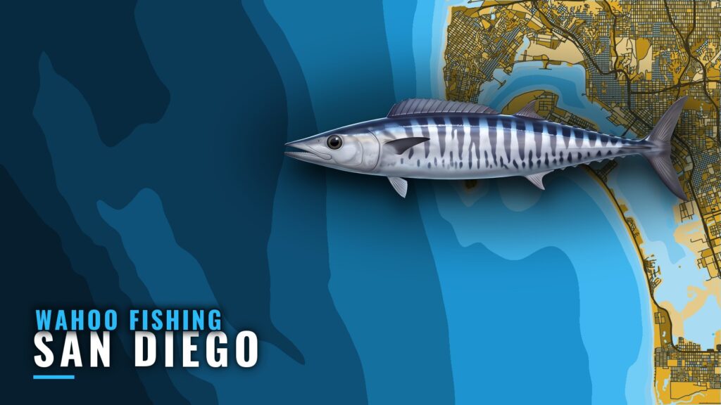
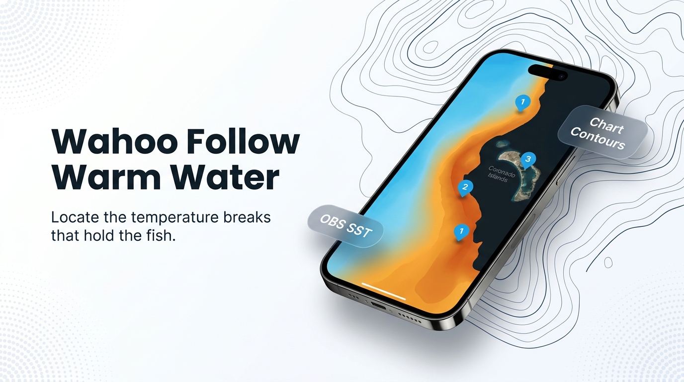
Wahoo fishing out of San Diego follows warm water, not a calendar. No ground is named for wahoo here, and the Coronado Islands are the named structure within range of the bay. This guide covers how to read the signs, get out of the bay, decide where to look first, and find the landings that list wahoo.
When wahoo show up off San Diego
Wahoo are a warm-water fish. Off San Diego they appear when warm water reaches the area and are absent when it does not, so the water sets the window.
Warm water sets the window
Temperature is the signal. Our species page covers water temperature preferences and behavior in detail and is the place to start if you have never targeted them. For how other ports compare, see wahoo across the Pacific Southwest (see also the Pacific Southwest fishing guide).
Watching the signs
Two signals tell you whether to make the run:
- Water temperature. Watch sea surface temperature for warm water pushing into the San Diego area. OBS SST is the layer we use to see it. Satellite SST can be blocked by cloud, so a gap on the map is missing data, not missing water.
- Landing fish counts. The landings that list wahoo publish counts, and wahoo showing up on those counts is the clearest local signal.
Together these help you decide where to look, but neither guarantees fish.
Where boats run from San Diego
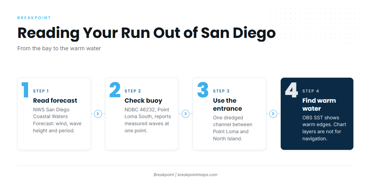
San Diego Bay reaches the Pacific through one dredged entrance between Point Loma and North Island, and every private boat leaving the bay uses it.
Getting out of the bay
Public ramps and marinas make the bay workable for trailer boats. Our San Diego port guide covers the entrance, the ramps and local conditions.
Read the NWS San Diego Coastal Waters Forecast as numbers: wind, wave height and period. Then check NDBC 46232, Point Loma South, for measured wave height and period. The forecast is a prediction, while the buoy reports what was measured at one point.
No named wahoo ground
Boats look where the warm water sets up, and the Coronado Islands are the named structure within range of the bay.
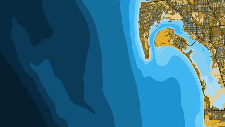
In the app, OBS SST shows the warm edges and Chart Contours shows the structure those edges cross near the Coronado Islands. Chart layers are not for navigation.
| Question | Where to read it |
|---|---|
| Is warm water in range? | OBS SST |
| What structure does it cross? | Chart Contours |
| What are wind, wave height and period? | NWS forecast |
| What is the measured sea state? | NDBC 46232 |
Grounds, methods and who fishes for them
This section moves from where to look, to how to fish, to who runs the trips.
Coronado Islands
The Coronado Islands are the named structure near San Diego, and they lie in Mexican waters. They are the first place to check when warm water reaches them, though that makes them a place to look and not a promise of fish. The Regulations section below covers what to check before you go.
How it is fished
Technique is covered on the wahoo species page. Your work out of San Diego is finding the warm water and the structure inside it, and the method follows from the species page.
Landings that list wahoo

Four San Diego operations list wahoo:
- H&M Landing
- Fisherman’s Landing
- Point Loma Sportfishing
- Pacific Queen Sportfishing
Their published fish counts are a signal for private boats, and these operations are the alternative if you would rather book a trip than run your own boat.
FAQ about wahoo fishing out of San Diego
Is there a named wahoo spot off San Diego?
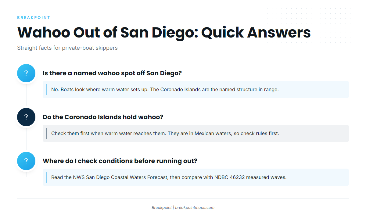
No. Boats look where warm water sets up, and the Coronado Islands are the named structure within range of the bay.
Do the Coronado Islands hold wahoo?
They are the named structure to check first when warm water reaches them. They are in Mexican waters, so check those rules before you go.
Which San Diego landings list wahoo?
H&M Landing, Fisherman’s Landing, Point Loma Sportfishing and Pacific Queen Sportfishing. Their fish counts show when wahoo are being caught.
What else can I target on the same run?
Our page on coastal and offshore gamefish covers what else shares the water.
Where do I check conditions before running out?
The NWS San Diego Coastal Waters Forecast gives wind, wave height and period, and NDBC 46232, Point Loma South, gives measured waves. Read both as numbers.