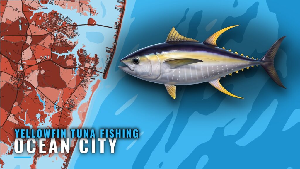
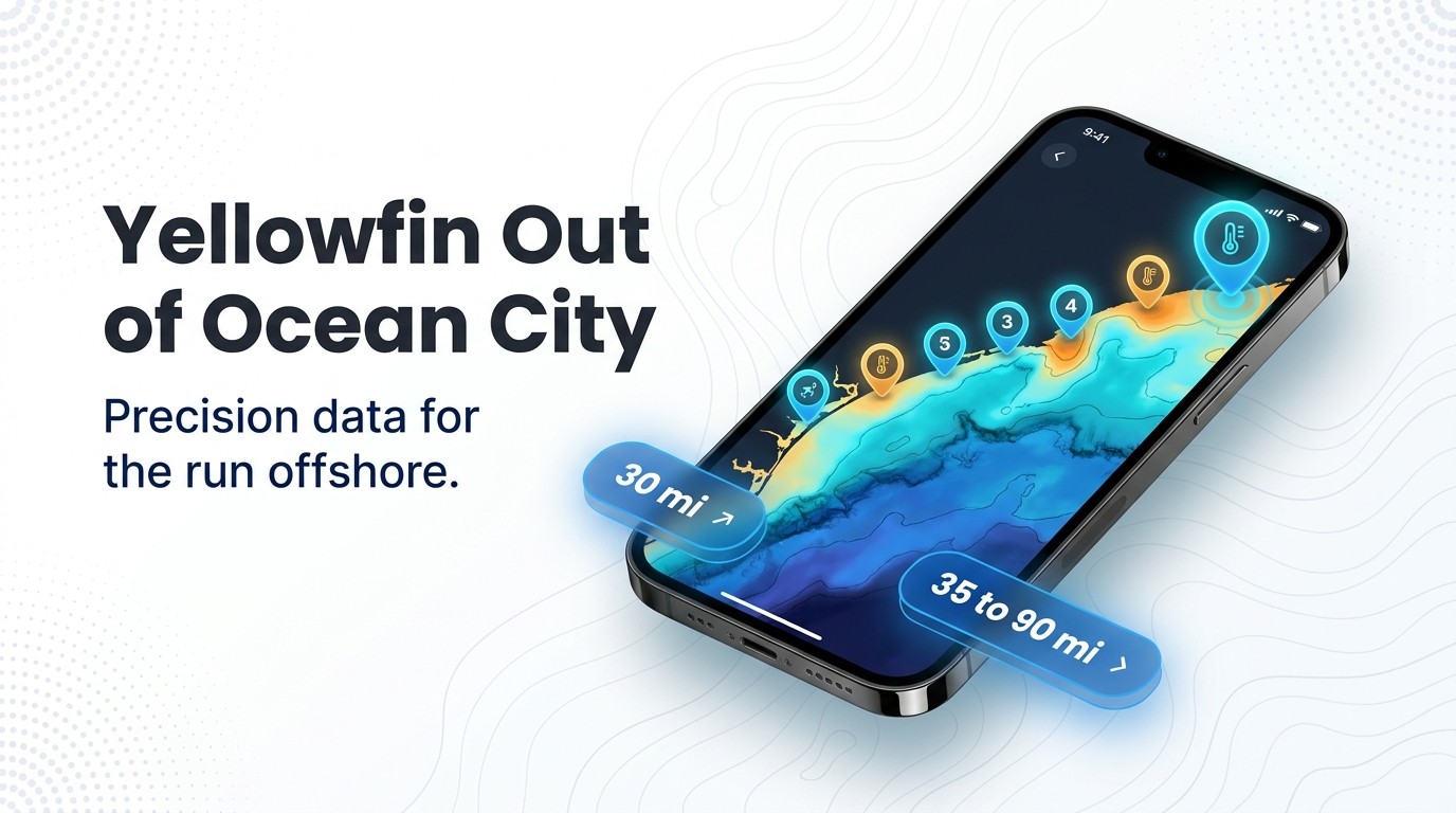
Yellowfin tuna fishing out of Ocean City comes down to three numbers: when the fish show, how far you run, and where you look once you get there. The data gives you a better place to start, not a promise of fish. For inlet, marina and fuel detail, use the Ocean City port page. For biology and general technique, read our yellowfin tuna guide.
When yellowfin are off Ocean City
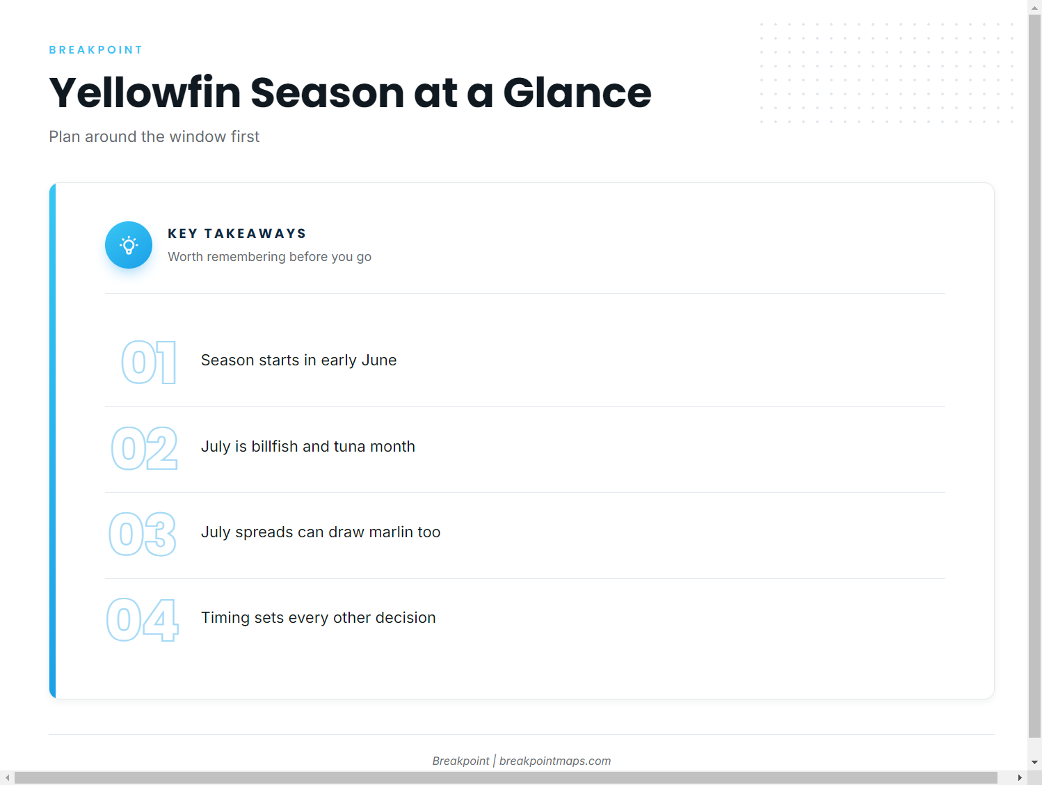
My Cin’s listing puts the start of the yellowfin season in early June and calls July the billfish and tuna month. That sets the planning window. An early-June trip and a July trip call for different spreads, and in July you are likely to share the water with marlin as well as tuna.
- Early June onward: the window opens, and this is when you begin planning runs.
- July: billfish and tuna share the same water, so set the spread with both in mind.
How far boats run
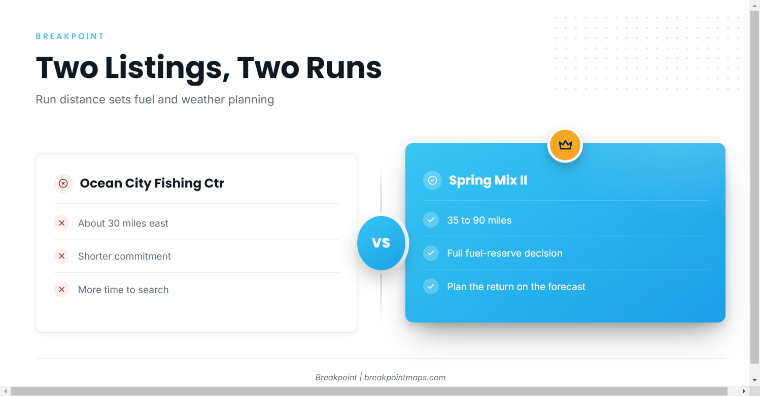
Ocean City Fishing Center describes the offshore run as about 30 miles east. Spring Mix II lists 35 to 90 miles. The distance on a given day depends on where the water sets up, since fish move with it.
A 30-mile run and a 90-mile run are different fuel and weather decisions. The short run leaves fuel and time for searching. The long end of the range requires a full fuel-reserve calculation, and the return leg should be planned against forecast numbers rather than the morning’s conditions. Before committing to the longer run, check wind, wave height and period on the official NWS marine forecast.
| Listing | Run described |
|---|---|
| Ocean City Fishing Center | About 30 miles east |
| Spring Mix II | 35 to 90 miles |
Grounds and structure that hold fish
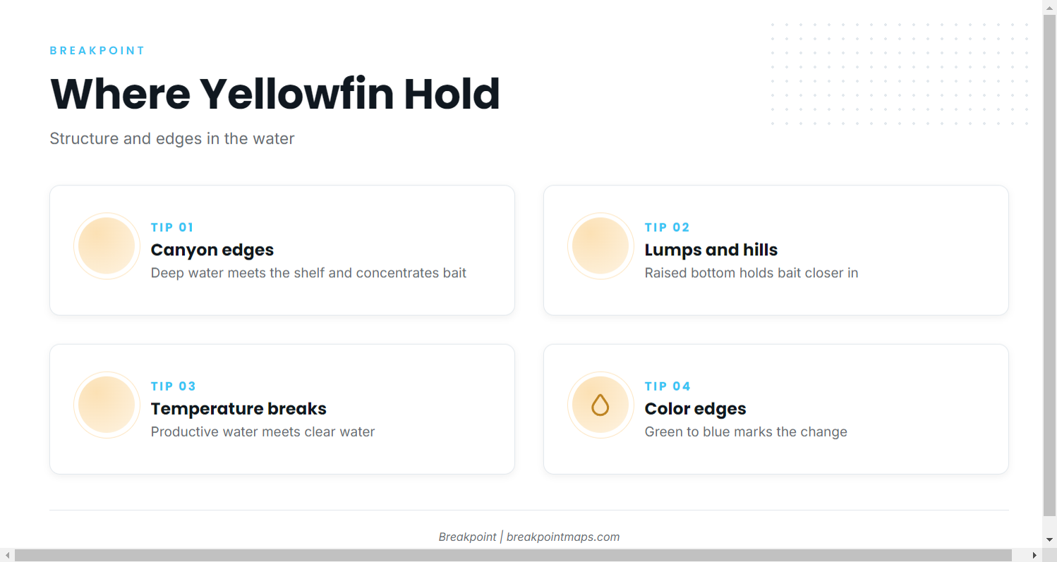
Within that 35 to 90 mile range, yellowfin hold on structure and on edges in the water. The regional yellowfin picture (see also the Atlantic Northeast region guide) covers the coast-wide view of canyons and temperature edges.
The grounds you work fall into three types:
- Canyon edges: steep edges where deep water meets the shelf.
- Lumps and hills: raised bottom that holds bait.
- Temperature and color edges: breaks in the water itself.
Canyon edges
Steep edges where deep water meets the shelf concentrate bait, and bait holds yellowfin.
Lumps and hills
Raised bottom structure holds bait closer in than the canyon edges. Work these as part of the same search.
Temperature and color edges
A sea surface temperature break or a change in water color, from green to blue, marks where productive water meets clear water. OBS SST and Chlorophyll show where those edges set up before you commit fuel. The chart layers are not for navigation. Cloud can block a satellite pass, so treat a gap in the layer as missing data, not as proof that no edge exists.
How yellowfin are fished from this port
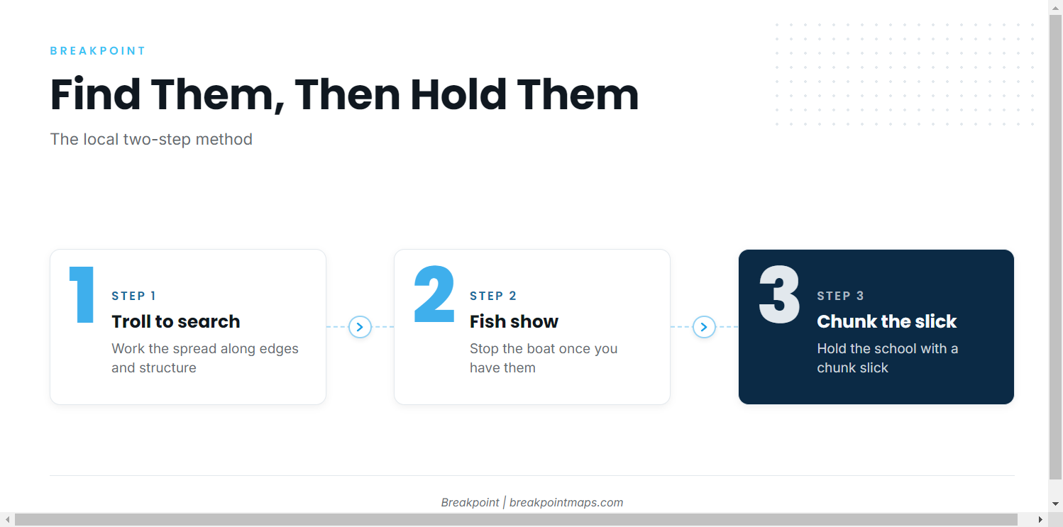
Boats out of Ocean City troll to find yellowfin and chunk once they have them. Trolling covers water while you search, and chunking holds a school once you find it. In July, the trolling spread can draw billfish too.
- Troll to search. Work the spread along the edges and structure above.
- Stop on fish. When fish show, stop the boat.
- Chunk. Hold them with a chunk slick.
Who fishes for them
Private boats and charters both target yellowfin from Ocean City. My Cin, a Topaz sportfisherman with a tower, lists yellowfin tuna among its trips.
Choosing between a charter and your own boat determines who makes the decisions. On your own boat, the fuel, forecast and grounds calls are yours. On a charter, the captain makes them. To compare other ports and species, see our tuna fishing guides.
FAQ: yellowfin out of Ocean City
When do yellowfin show up off Ocean City?
Early June onward, per My Cin’s listing. The same listing calls July the billfish and tuna month.
How far offshore do boats run?
About 30 miles east per Ocean City Fishing Center, or 35 to 90 miles per Spring Mix II. The distance on a given day depends on where the water sets up.
Is there a charter that targets yellowfin?
Yes. My Cin, a Topaz sportfisherman with a tower, lists yellowfin tuna. For yellowfin tuna fishing out of Ocean City, the choice is a charter, where the captain makes the fuel and grounds calls, or your own boat, where you do.
Where are the rules?
NOAA Fisheries covers offshore tunas, and Maryland DNR covers state waters and licensing. See the Regulations section above.
Where do I check conditions before the run?
Use the official NWS marine forecast for wind, wave height and period, linked from Ocean City Fishing Center marine weather. Recheck it before you leave the dock.