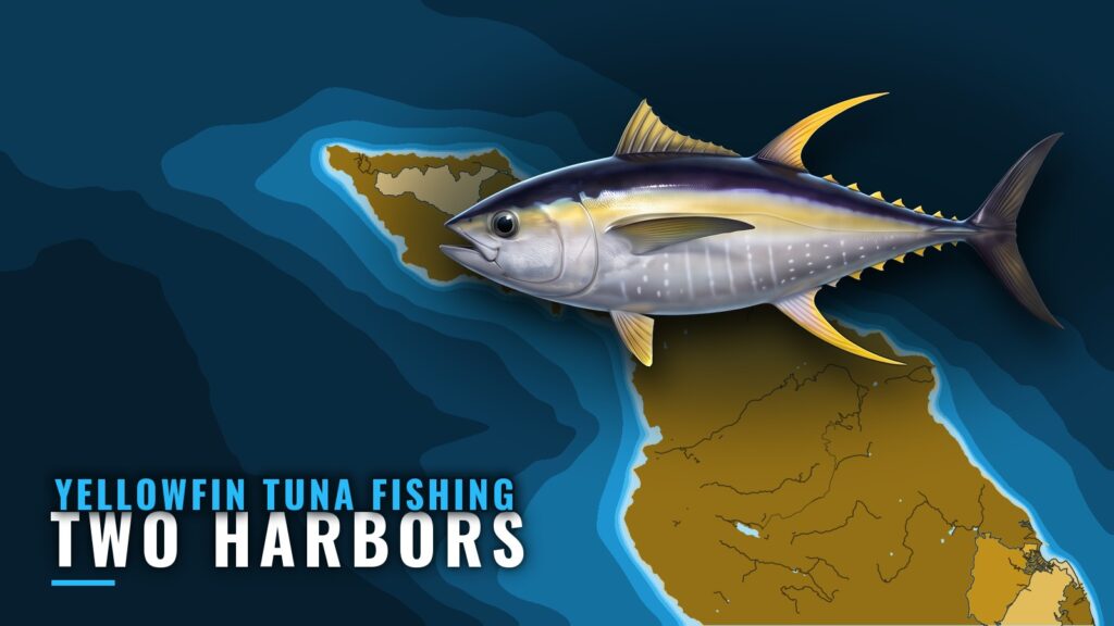
Yellowfin tuna are not documented from Two Harbors specifically. This page applies what holds for Southern California’s offshore yellowfin fishery to a trip out of Two Harbors, and it links to the Two Harbors port page. The local points are limited to the harbor’s geography and its named rocks and reefs, and none of those marks where yellowfin hold.
When the species is around the port
Regionally, yellowfin arrive in Southern California in the warm months. The first fish typically appear off northern Baja, then build north into U.S. waters through summer and into fall. Warm years bring them earlier and closer to shore, and cool years bring them later and farther offshore. Around Catalina Island, yellowfin are documented later in summer, in July and August, so that is the regional peak to plan around.
Where boats run
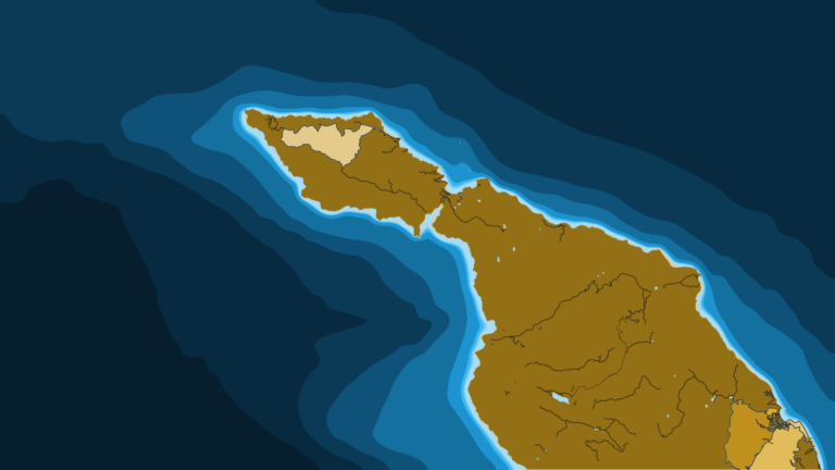
Two Harbors sits on the narrow isthmus at the west end of Santa Catalina Island. Isthmus Cove opens on the north shore, and Catalina Harbor opens to the south. Open water lies off the west end and along both shores, and the mainland is across the San Pedro Channel. Prevailing winds in these waters are west and northwest, blowing most afternoons, and Isthmus Cove is exposed to north and northeast weather. Check the marine forecast before you run out, and check conditions yourself.
Grounds and structure
The named structure near Two Harbors is rock and reef, and none is documented as a yellowfin ground. Ship Rock lies about a mile north of the cove and shows a light. Bird Rock sits about 500 yards off the beach and can be approached on its east side. Eagle Reef, covered by about 3 feet of water, lies close to the entrance. Harbor Reefs lie southwest of Bird Rock. Around Catalina, several marine protected areas restrict fishing, including Farnsworth Bank, which lies southeast of the island’s west end. Check the current state map before you fish near the bank or the harbor.
How the species is fished out of the port
Regionally, yellowfin are fished several ways. Spot-and-stop work on sonar stops the boat ahead of marked fish. Flylining sardines on a layered spread covers the water column when fish hold on a break, paddy or bank. A kite or balloon works on wary, surface-feeding fish. Trolling finds fish when there are no signs, and poppers or jigs suit fish busting on the surface. Kelp paddies, porpoise schools and birds mark where the fish are. The regional starting point is where a temperature break crosses a chlorophyll edge and a bank or kelp paddy. The detail is in the yellowfin tuna guide for Southern California (see also the Pacific Southwest offshore fishing guide).
Who fishes it
No Two Harbors-based yellowfin charter is documented. Harbor skiff rentals exist at the Two Harbors Dive and Recreation Center, but a skiff rental is not a fishing charter. Mainland operators run trips to these waters, but they are not based at Two Harbors.
FAQ
When is yellowfin season off Two Harbors?
Not documented for this port. Regionally, summer into fall is the window, and around Catalina the peak is July and August.
What water should I look at?
Regionally, look for the warm side of a temperature break, the clean side of a chlorophyll edge, and banks or kelp paddies where they meet.
Is there a charter here?
No Two Harbors-based yellowfin charter is documented. Mainland operators fish these waters from their own ports.
Are there protected areas near the harbor?
Yes, around Catalina. Check the current state map before you fish near Farnsworth Bank or the harbor.