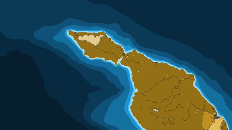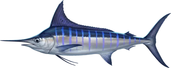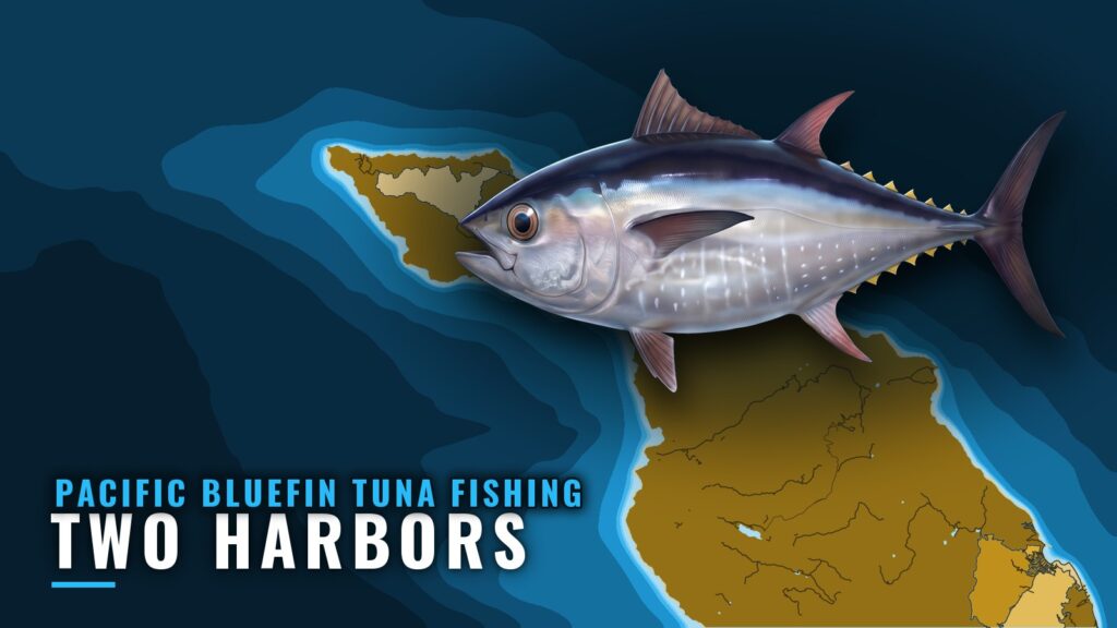
Two Harbors sits on the narrow isthmus at the west end of Santa Catalina Island, with Isthmus Cove on the north shore and Catalina Harbor on the south. This page covers Pacific bluefin tuna fishing from the island’s west end. Bluefin are not documented from Two Harbors specifically, so the page applies what holds for the Southern California bluefin fishery and ties it to the port’s water, approaches and named structure. For mooring field, service and access detail, start with the Two Harbors port page. For the wider coast, see the Pacific bluefin tuna fishing in the Pacific Southwest and the wider Pacific Southwest guide.
When Pacific bluefin show up around Two Harbors
Across Southern California, bluefin usually arrive in May and leave by October, and their presence follows water between about 62 and 68°F. Fish can be around in winter and spring too, but they are harder to find from the surface, because surface temperature shows only the top of the water. Check OBS SST for where that water sits before you plan a trip out from the island.
Where boats run from Two Harbors
Isthmus Cove is exposed to north and northeast weather and gives shelter in south and west weather. Catalina Harbor, on the south side, is open to the south, shelters small boats in all but south weather, and is funnel-shaped with a shoal head. The prevailing wind in the Channel Islands is west and northwest, blowing nearly every day and often strongest in the afternoon, so plan the run home with that in mind. Regionally, the bluefin grounds are the offshore San Diego banks and the outer Bight’s Tanner and Cortes Banks. None is documented as a run from Two Harbors. Check conditions yourself and the marine forecast before you go out.
Grounds and structure
The named rocks and reefs near the cove are Ship Rock, about a mile north of the cove, Bird Rock, Eagle Reef, which lies just west of the entrance and covers 3 feet, and the High Spot between Bird Rock and Ship Rock. Harbor Reefs lie about 400 yards southwest of Bird Rock and carry a light and a lighted buoy. These are charted hazards and local bait-fishing spots. None is documented for bluefin, and no depth or distance is given for any of them. Marine protected areas around the island restrict fishing in places, including Farnsworth Bank, so check the state’s current map before you fish near one.
How Pacific bluefin are fished out of Two Harbors
No port method is documented here, so the regional tactics apply. Read the surface first. Foamers call for a popper or stickbait cast into the leading edge of the school, approached without running over it. Puddlers take a flylined live sardine, or a kite or balloon that holds bait away from the boat. When the meter shows fish under a quiet surface, a sinker rig or flat-fall jig works the depth of the marks. Bluefin are boat-shy and line-shy, so keep bait well away from the hull.
Frequently Asked Questions
Is there bluefin fishing at Two Harbors?
It is not documented for this port. Across the Southern California coast, bluefin usually arrive in May and leave by October, when the water sits in the 62 to 68°F band.
Are there charters based at Two Harbors?
No fishing charter is documented as based at Two Harbors. Mainland operators fish Catalina waters but are not based here.
Is the approach to Isthmus Cove clear?
The approach from the east along the shore is described as clear. Give Eagle Reef a wide berth on its west side, and use the lights on Ship Rock and the marked reefs to position yourself at night.