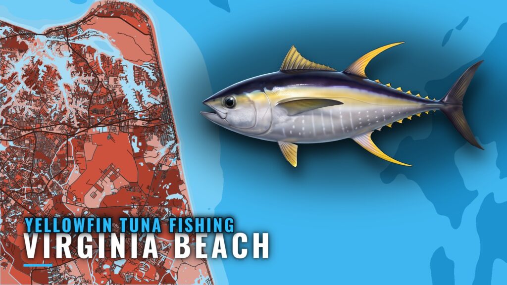
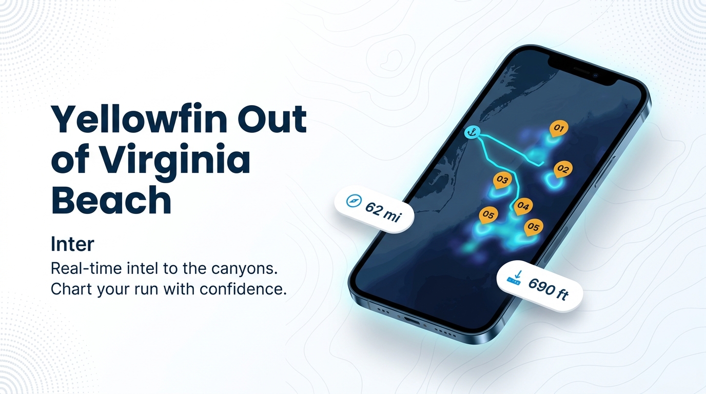
Yellowfin tuna fishing out of Virginia Beach means a 50 to 70 mile run to the canyons, with named structure to work on the way out. For inlet and marina detail, see the port. For general species behavior, see our yellowfin tuna fishing guide. Below are the season windows, the run, the grounds, the local methods and the charters that list yellowfin.
When yellowfin are off Virginia Beach
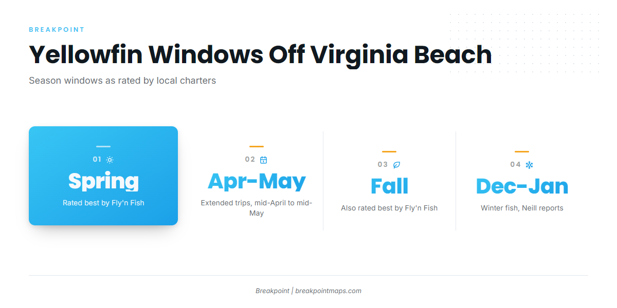
Yellowfin show off Virginia Beach in spring, early summer and fall, with winter fish reported in December and January. General seasonal behavior is covered in the species guide; these are the local windows.
Spring and early summer
Fly’n Fish rates spring and early summer among its best yellowfin windows. It runs extended trips from mid-April to mid-May, when the longer day on the water is worth the fuel.
Fall
Fly’n Fish also rates fall among its best windows. Early and late in the season, the fleet goes heavier on tackle, covered in the methods section below.
Winter fish
Neill reports winter yellowfin in December and January. We have no location, size or water temperature to add for those fish.
How far boats run
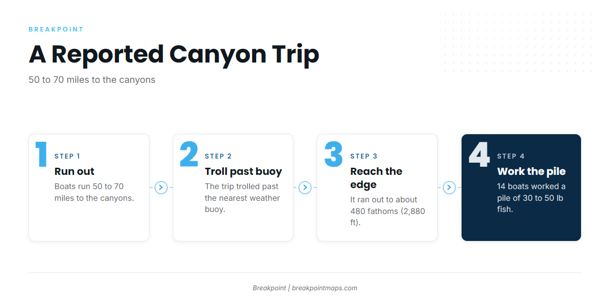
Boats run 50 to 70 miles to the canyons, including Norfolk Canyon. For canyon fishing elsewhere up the coast, see the wider Atlantic canyon picture (see also the wider Atlantic Northeast guide).
The canyon run
A 50 to 70 mile run sets your fuel plan and the length of the weather window you need.
No NOAA buoy or tide station sits at Rudee Inlet itself. Read the NWS Wakefield marine forecast for the coastal zones, and check offshore NDBC buoy observations before you commit to the run.
Working the deep edge
On one reported trip, the crew trolled past the nearest weather buoy and then ran out to about 480 fathoms (2,880 ft). There, 14 boats worked a pile of 30 to 50 lb fish. The methods section below draws on the same trip.
Grounds and structure that hold yellowfin
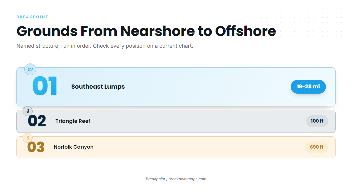
The named structure runs from Southeast Lumps, 19 to 28 miles off Rudee Inlet, out to Norfolk Canyon, about 62 miles east of Cape Henry. The Norfolk Canyon and Southeast Lumps figures come from a 1994 list, so check every position against current NOAA chart notes.
You can plot these spots against the Chart Contours layer in the app. Chart layers are not for navigation.
| Name | Depth | Distance and bearing |
|---|---|---|
| Triangle Reef (Triangle Wrecks) | 100 ft | 16.5 nm on 073° true from Chesapeake Light Tower |
| Norfolk Canyon | 690 ft | About 62 miles east of Cape Henry |
Southeast Lumps
Southeast Lumps lies 19 to 28 miles off Rudee Inlet, per the 1994 list. That makes it the closest of the named grounds to the inlet.
Chesapeake Light Tower and the reefs
Chesapeake Light Tower is the reference point for Triangle Reef (Triangle Wrecks), which sits in 100 ft, 16.5 nm on 073° true from the tower. That bearing is how you lay it down.
Tower Reef is listed by VMRC among offshore sites.
21 Mile Hill and 26 Mile Hill
Both hills are named for their distance from Wachapreague Inlet, not Rudee Inlet.
The Cigar and The Fingers
The Cigar and The Fingers are named grounds the fleet works.
Norfolk Canyon
Norfolk Canyon is 690 ft deep and about 62 miles east of Cape Henry, per the 1994 list. The reported trip worked water beyond it, at about 480 fathoms (2,880 ft).
How the fleet fishes them
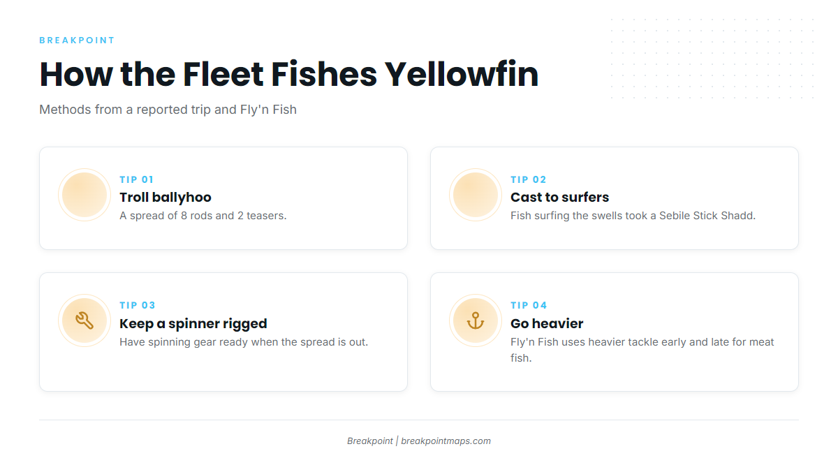
The local fleet trolls ballyhoo spreads and casts to fish surfing the swells.
The ballyhoo spread
The reported trip trolled a ballyhoo spread of 8 rods and 2 teasers.
Casting to surfing fish
On the same trip, fish surfing the swells took a cast Sebile Stick Shadd on spinning gear. Keep a spinning rod rigged when the spread is out.
Heavier tackle for meat fish
Fly’n Fish uses heavier tackle early and late in the season for "meat fish," which lines up with the spring and fall windows above.
Who fishes for yellowfin out of Virginia Beach
Four local charters list yellowfin tuna:
- Fly’n Fish Sportfishing: the 54 ft Custom Jim Smith "Fly’n Fish," Capt. Jake Boltz.
- E-Fishinsea Sport Fishing Charters: Capt. Greg Weaver.
- AquaMan Sportfishing: The Flat Line and the 54 ft Game On, Coast Guard certified for up to 18.
- Knot Tell’n Charters: Capt. Scott Horton, 36 ft Albemarle Express.
FAQ
How far is Norfolk Canyon from Virginia Beach?
Norfolk Canyon is about 62 miles east of Cape Henry, at 690 ft, per a 1994 list. Check the position against a current chart. Runs to the canyons overall are 50 to 70 miles, so plan fuel and your weather window around the longer end.
When is the best time for yellowfin tuna fishing out of Virginia Beach?
Fly’n Fish rates spring, early summer and fall as the best windows and runs extended trips from mid-April to mid-May. Heavier tackle comes out early and late in the season for larger "meat fish."
Are there yellowfin off Virginia Beach in winter?
Neill reports winter yellowfin in December and January. We have no location, size or water temperature for those fish. Treat winter as a reported opportunity and check the official marine forecast before any run.
What size are the yellowfin?
A reported trip found a pile of 30 to 50 lb fish at about 480 fathoms, worked by 14 boats. Fly’n Fish goes heavier on tackle early and late in the season for "meat fish." We make no broader size claim for the port.
What about bigeye, bluefin and other tunas?
This page covers yellowfin from this port. For other tunas, see our tuna fishing guides.