Spring
Offshore
Haddock closed in March, reopens after; Cod Spawning Protection Area south of the Isles of Shoals closed April through June
Nearshore
Stripers, no closed season in state waters




New Hampshire’s coast is short, with three harbors (Hampton-Seabrook, Rye and Portsmouth) opening onto the Gulf of Maine. This page covers where the grounds sit around the Isles of Shoals and Jeffreys Ledge, what runs by season, and how the rules split at the 3-mile line. It helps you decide where to look and which rules apply; it doesn’t promise fish. The same breakdown exists for other U.S. coasts.
 By Breakpoint Team
The coast
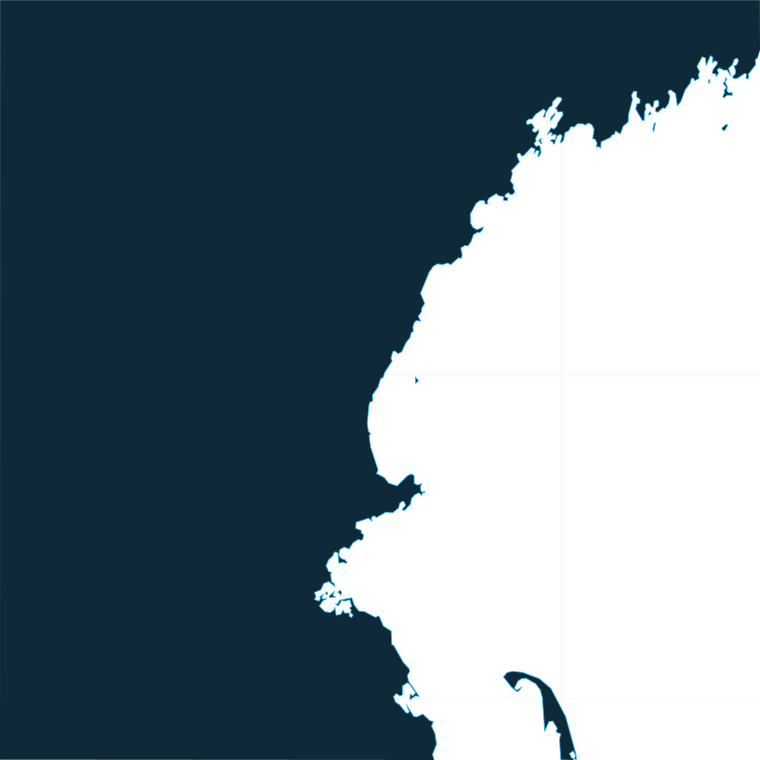
Because the coast is short, every harbor reaches the same three tiers of ground: the Isles of Shoals close in, Jeffreys Ledge farther out, and further-offshore banks beyond.
Hampton-Seabrook Harbor sits in the south, nearest the Massachusetts line. Rye Harbor is in the middle, and the Isles of Shoals lie about 5 to 6 miles offshore of Rye. Portsmouth, New Castle and the Piscataqua River form the north end, with Great Bay upriver.
The Isles of Shoals are the close ground. Ledges surround most of the islands, and the water straddles the Maine line, so Maine waters follow Maine rules. Anderson Ledge uncovers 4 feet, is buoyed, and lies about 1 mile east-southeast of Isles of Shoals Light. A naval target area is centered on Shag Rock off the east side of Duck Island.
Jeffreys Ledge is the main offshore ledge, reached from all three harbors. Tillies Bank is further-offshore ground beyond it. These grounds are part of the wider Gulf of Maine and Northeast run.
Fog is common in the Gulf of Maine. Check the National Weather Service marine forecast and the offshore buoys for wind, wave height and period before you head out.
Chart Contours show the Jeffreys Ledge edges, and OBS SST shows summer temperature breaks. Chart layers are not for navigation.
Ports
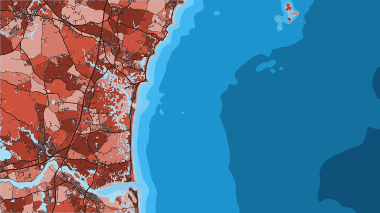
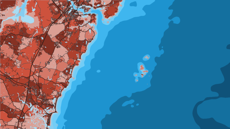
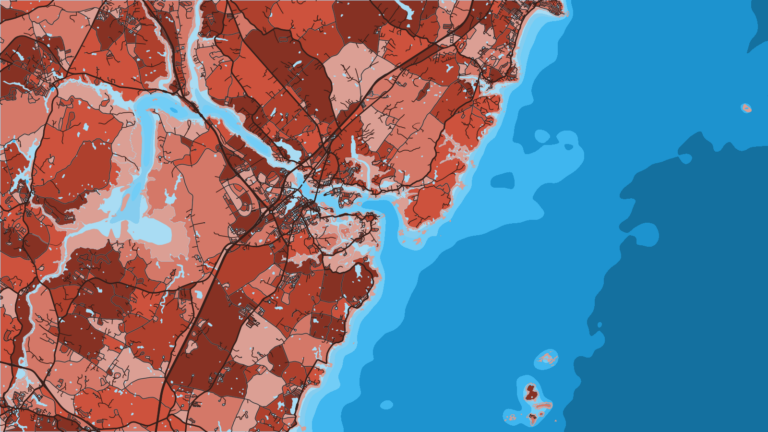
Three harbors serve the coast, each with its own entrance and its own run to the grounds. Tap a number on the map, or a stretch below, to zoom in on its ports.
1 port
Hampton and Seabrook share one harbor at the southern end of the coast, nearest the Massachusetts line.
1 port
Rye Harbor is a small breakwater harbor midway up the coast and the shortest run to the Isles of Shoals.
1 port
Portsmouth, New Castle and the Piscataqua River form the north end, with Great Bay upriver.
Seasons
What tends to be around each season. Open seasons are covered under Regulations.
Offshore
Haddock closed in March, reopens after; Cod Spawning Protection Area south of the Isles of Shoals closed April through June
Nearshore
Stripers, no closed season in state waters
Offshore
Bluefin; blue, thresher and porbeagle sharks; haddock
Nearshore
Mackerel, bluefish, stripers
Offshore
Bluefin; cod retention window (see GARFO); haddock
Nearshore
Stripers
Offshore
Haddock (closed in March); pollock open all year
Nearshore
Stripers, no closed season in state waters
Groundfish, bluefin and sharks fill the offshore calendar, while stripers, mackerel and bluefish work the nearshore water.
Groundfish seasons change by season or quota, so check GARFO before every trip.
Temperature breaks and color edges shift with wind and current. In Breakpoint, these three layers show those edges and the bottom structure near them.
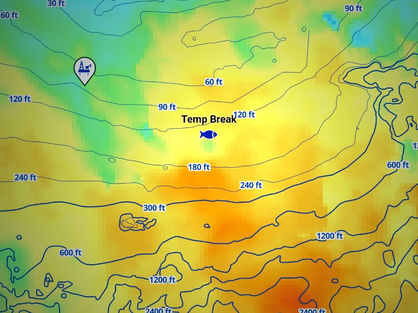
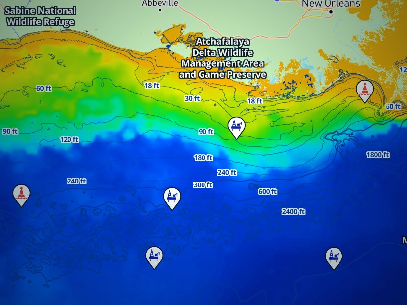
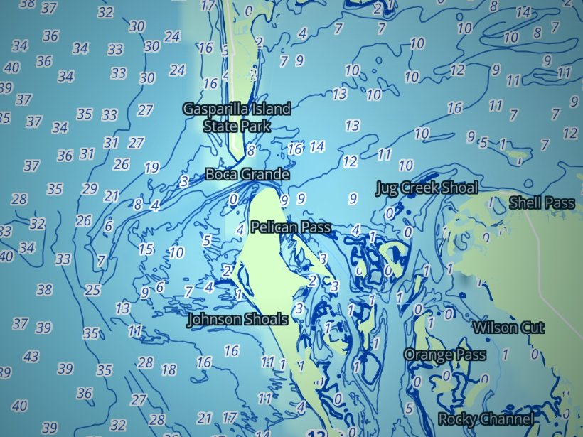
Clouds block satellite SST passes, so some days show gaps. Chart layers are not for navigation.
Charters and tournaments
NH Fish and Game defines a charter boat as one that takes 6 passengers or fewer for a set fee. A party boat carries more than 6 and charges per person.
Passengers fishing from a licensed charter or party boat need no state license. Cod and haddock rules can differ for private and for-hire boats, so know which one you are on.
Party and charter boats sail from Hampton-Seabrook and Rye. Charters also run from Portsmouth.
Two tournaments anchor the calendar:
Schedules, fees and entry details come from the organizers, and the On The Water tournament calendar lists current events. Tuna events require the federal HMS permit, and striper events are state-waters fishing. Both sets of rules follow below.
Regulations
Full state and federal limits are on our New Hampshire regulations page.
New Hampshire offshore fishing splits at 3 miles: state waters run 3 miles from shore, and federal waters run from 3 to 200 nautical miles. NH Fish and Game Marine Fisheries Division sets state rules, and NOAA Fisheries GARFO sets federal groundfish rules. Where state and federal rules both apply, the more restrictive one governs.
Striped bass show the split clearly. They are legal inside 3 miles and closed beyond it.
The NH Fish and Game marine rules cover everything inside the 3-mile line.
GARFO sets groundfish rules beyond 3 miles. Cod, haddock and pollock sizes, bags and seasons change by season or quota, so check the NOAA recreational groundfish rules before every trip.
The Cod Spawning Protection Area, south of the Isles of Shoals, is closed to fishing and to groundfish possession in April, May and June.
FAQ
Official answers come from the state wildlife agency and NOAA Fisheries. Check them before you go.
No. Passengers on licensed charter and party boats need no license. Anyone 16 and older fishing on their own needs a NH saltwater license from NH Fish and Game.
NH Fish and Game defines a charter boat as one carrying 6 passengers or fewer for a set fee. A party boat carries more than 6 passengers and charges per person. Both are licensed by the state.
It depends on the season, the quota and whether you are on a private or for-hire boat. Check GARFO and NH Fish and Game before you go. Our New Hampshire regulations page points to both agencies.
Yes. A federal HMS permit is required for tuna and sharks. Daily limits vary under federal rules, so check HMS before each trip.
No. Striped bass are closed in federal waters and legal only in state waters. Circle hooks are required when you fish with bait.
Rye Harbor. The islands lie about 5 to 6 miles offshore. The Shoals water straddles the Maine line, so Maine waters follow Maine rules.
It lies south of the Isles of Shoals and is closed to fishing and groundfish possession from April through June. State waters allow rod or line in hand with 1 ounce or less of artificial weight, and all cod must be released. Groundfish caught elsewhere must be gutted with bait and hooks removed when transiting.
For nonresidents, yes. A valid Maine or Massachusetts saltwater license is covered in New Hampshire. A NH resident’s license covers Maine and Massachusetts tidal waters.
Ranked hotspots, live ocean layers and offline maps.
Open Breakpoint