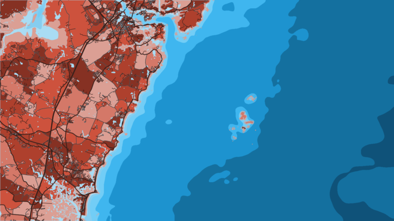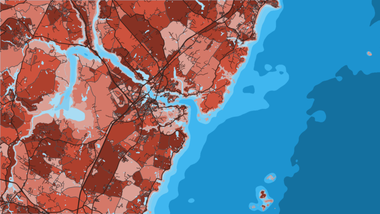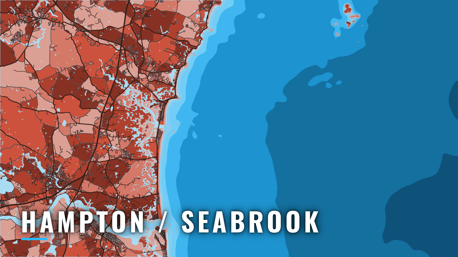

About Hampton / Seabrook
Hampton Harbor is a jettied inlet at the mouth of the Hampton and Blackwater Rivers, with Hampton Beach on the north side and Seabrook at the southern end of the harbor. It anchors New Hampshire’s short coastline about 10 miles southwest of Portsmouth Harbor, with Rye Harbor between them. The fishing runs year-round. Winter is pollock and haddock, with weather setting the limit. From spring, striped bass and Atlantic mackerel arrive inshore, and Atlantic bluefin tuna join on Jeffreys Ledge in summer and fall. Below: where to launch, how the inlet and bridge behave, and which grounds fish in which season.
Access and navigation
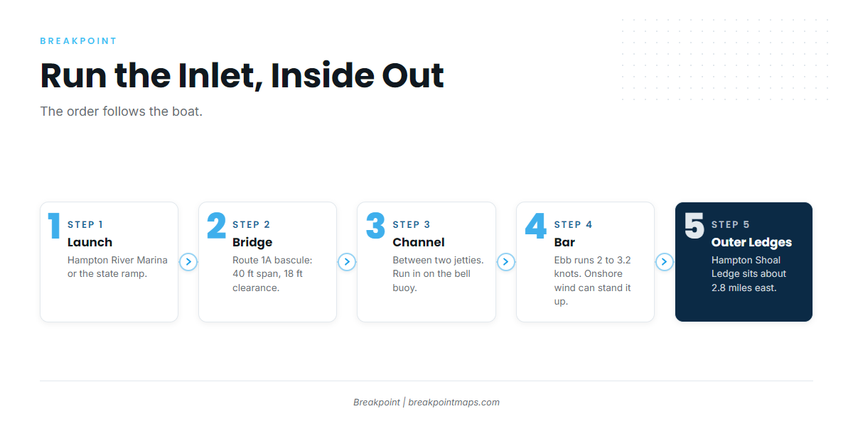
Two launch options serve the harbor:
- Hampton River Marinamarina on the Hampton side of the harbor.
- Hampton Harbor state rampsmall-craft launching ramp just north of the marina basin, at the state pier.
The Route 1A bascule bridge sits at the inner end of the inlet. It has a 40 ft span and 18 ft of clearance. According to the NOAA Coast Pilot 1 entry, current under it runs 1.5 to 2.2 knots on the flood and 2 to 3.2 knots on the ebb, so plan your pass around those numbers.
The inlet runs between two rock jetties, and the outer end of the south jetty is submerged. A lighted bell buoy marks the approach to the dredged channel. Running in or out on that buoy tends to keep you clear of the drying and covered ledges about 0.5 mile off the entrance: Old Cellar Rock, Inner Sunk Rocks and Outer Sunk Rocks. An easterly or onshore wind against the ebb can stand the bar up, and in heavy weather breakers across the entrance might close the harbor. The bar can also shift faster than charts update, so use NOAA Chart 13278 as a reference only.
The southern channel toward Seabrook is subject to shoaling, with 3 ft reported alongside the town wharf. The entrance to the Blackwater River has been reported to move from its charted position. Both are local-knowledge routes.
Outside, Hampton Shoal Ledge, covered 19 ft and unmarked, lies about 2.8 miles east of the entrance, and extensive rocky ledges obstruct the approaches. There is effectively one entrance, so the choice is when to run it. Go on the flood or near slack, or stay in.
On arrival, look at the water at the jetties. Read the NWS marine forecast for ANZ154 and the Jeffreys Ledge buoy 44098. If conditions look bigger than you want, change your timing or stay in.
Fishing conditions
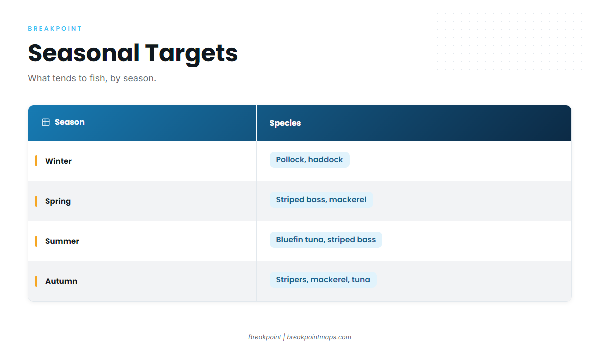
Atlantic Northeast fishing from Hampton follows the Gulf of Maine calendar, with the grounds sitting between the jetties and the open ledges.
- Jeffreys Ledge: offshore groundfish and tuna.
- Isles of Shoals: ledges surround most of the islands.
- Scantum
- Tantas
- Hampton Shoal Ledge: the nearest named structure, and it is unmarked.
NH Fish and Game sets saltwater rules, so check them before fishing. The Gulf of Maine spawning protection area near the Isles of Shoals restricts fishing for part of the year.
Winter
Pollock and haddock hold on the deeper ledges. Weather and daylight set the limit, so check ANZ154 before you commit to the run. Groundfish seasons change, so check NH Fish and Game.
Spring
Striped bass arrive inshore, with Atlantic mackerel showing up alongside them. Haddock and pollock continue offshore.
Summer
Atlantic bluefin tuna join on Jeffreys Ledge; the Atlantic bluefin tuna guide covers the fish itself. Bluefin require a federal HMS permit from NOAA. Inshore stripers tend to follow the mackerel, which is the Northeast striper and mackerel pattern. Striped bass, haddock and pollock continue.
Autumn
Stripers, mackerel, haddock, pollock and tuna all stay in the mix. The fall bluefin on Jeffreys Ledge run is the main draw offshore. OBS SST and Chlorophyll layers help narrow where to look on Jeffreys Ledge. Chart layers are not for navigation.