
About Key West
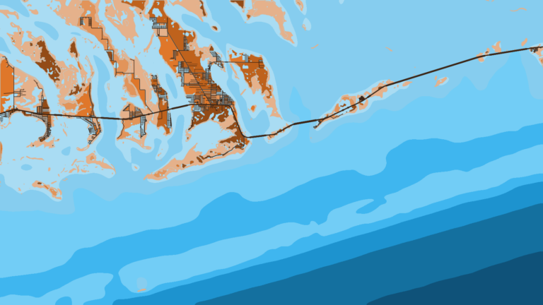
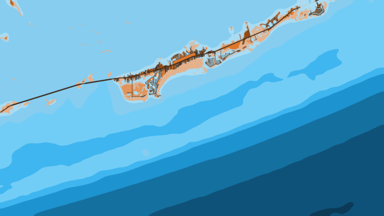
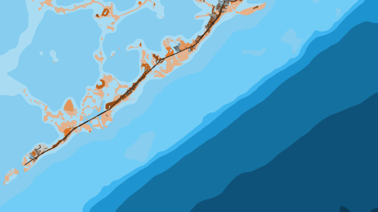
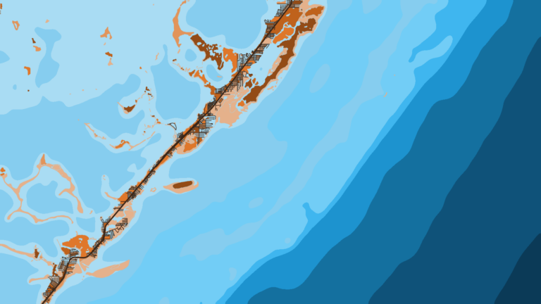
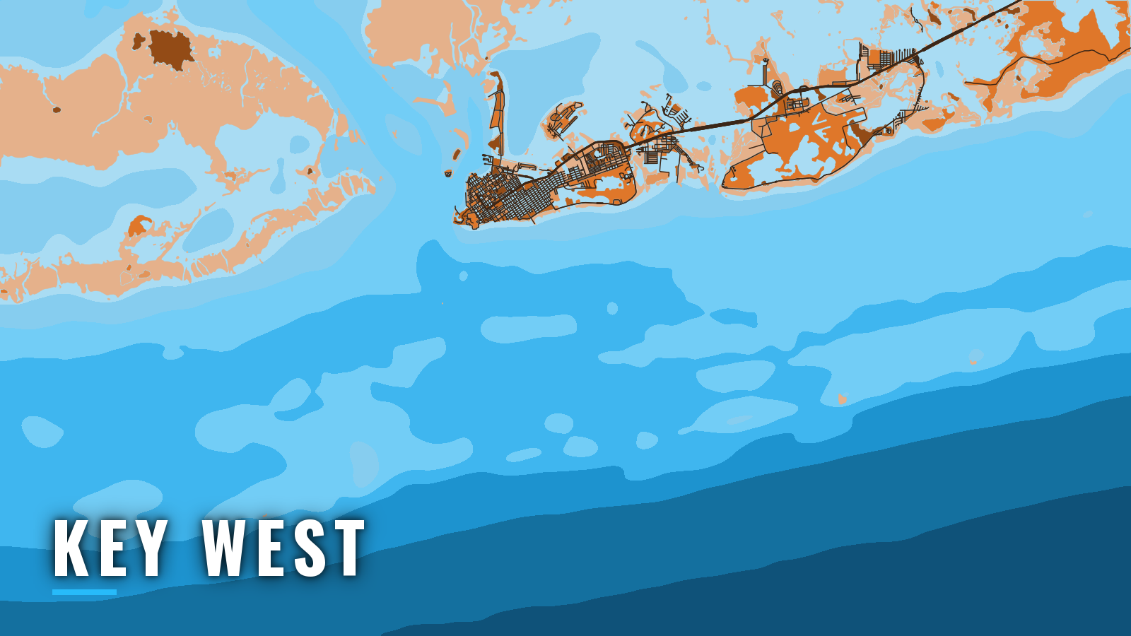
Key West sits at the western end of the Florida Keys, with offshore water on two sides. The Straits of Florida reef line lies to the south, and the Gulf of America lies to the north and west. The Straits side is the southern end of the Atlantic Southeast.
Fishing runs year-round. The main targets are sailfish, mahi-mahi, wahoo, blackfin tuna, king mackerel, cobia, yellowtail snapper and mutton snapper. This guide covers where to launch, how the channels tend to behave, and what each season tends to bring.
Access and navigation out of Key West
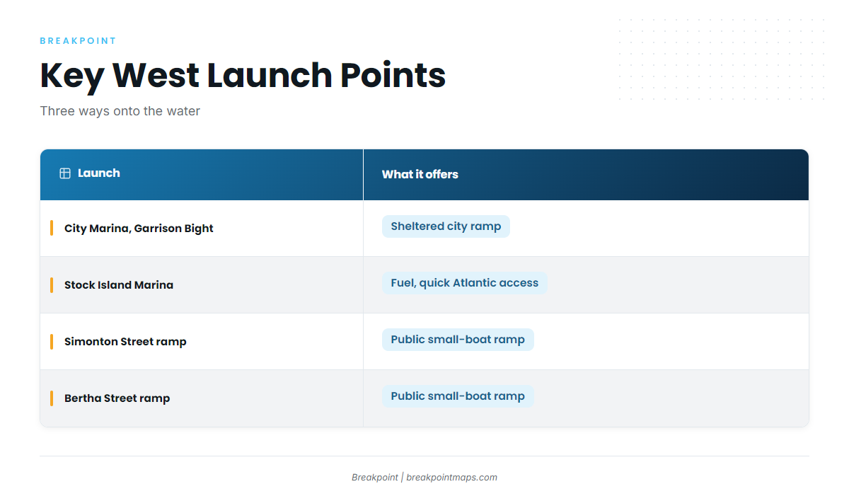
Public launches and marinas offer a few ways onto the water:
- City Marina at Garrison Bight: the city ramp, in a harbor protected from wave action from all quarters. This is the sheltered launch.
- Stock Island Marina: fuel is listed, and it has quick access to open Atlantic water.
- Simonton Street and Bertha Street ramps: public small-boat ramps at the foot of Simonton Street and the south end of Bertha Street.
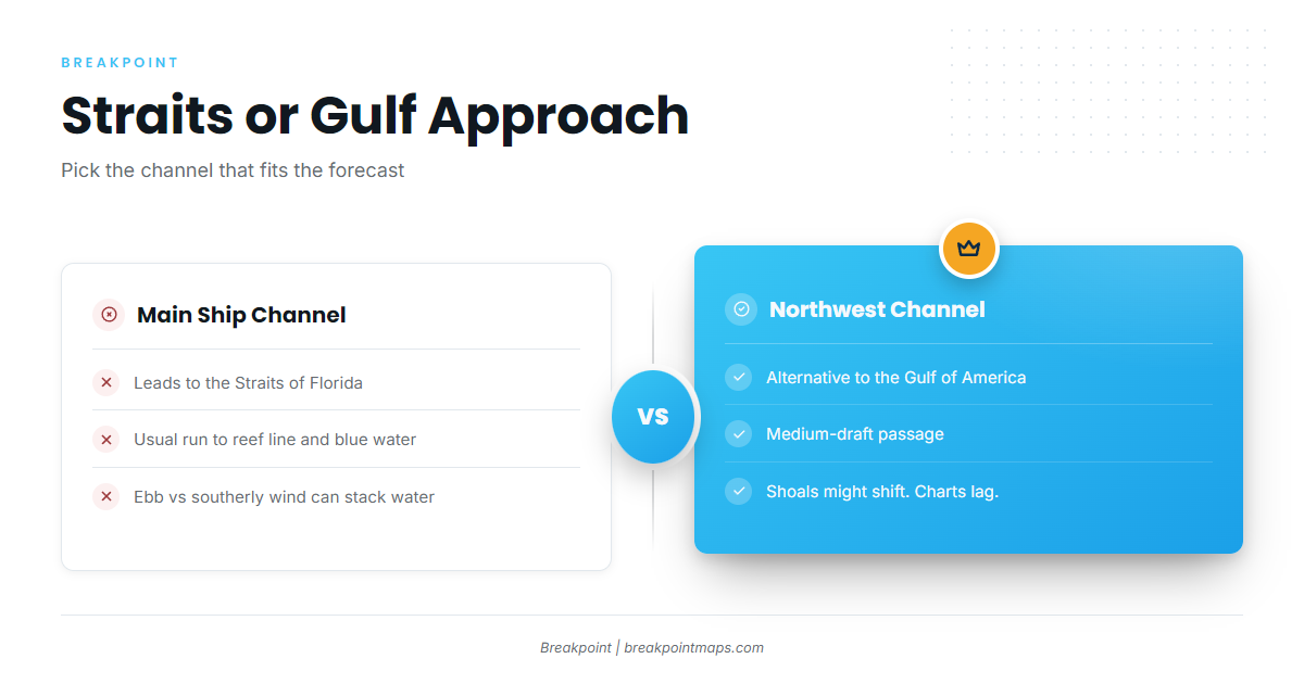
Main Ship Channel: the Straits approach
The Main Ship Channel leads out to the Straits of Florida and is the usual route to the reef line and blue water. Other charted channels include Southwest, West and Calda.
Tidal current and countercurrent
West of Fort Taylor, the flood tends to set north at about 2 knots and the ebb south at about 3 knots. Wind can shift both the timing and the strength of the current. Near Key West Entrance Lighted Whistle Buoy KW, a westerly countercurrent to the Gulf Stream has at times been reported above 3 knots. An ebb running against a southerly or easterly breeze can stack the water at the channel mouth.
Northwest Channel: the Gulf-side alternative
The Northwest Channel is the alternative approach to the Gulf of America. It is a medium-draft passage with its own hazards:
- Shoaling can occur intermittently along its length.
- Submerged jetties lie 0.3 to 0.5 mile either side of the centerline at the Gulf end.
- The Gulf end tends to shift westward.
Shoals move and charts lag, so check the latest NOAA chart and the NOAA Coast Pilot 4 chapter before running it.
Harbor notes
Garrison Bight is reached by a dredged channel from Man of War Harbor around the north end of Fleming Key. Fleming Key Cut is unmarked, carries about 6 feet, has very strong tidal currents and is not recommended for low-powered boats.
At Safe Harbor on Stock Island, sea and swell from the southern quadrant can break heavily at the entrance, and a seiche of 2 to 3 feet is possible inside during southerly winds. In a south swell, the sheltered bight may be the better place to return.
Restricted areas and sanctuary
Naval restricted areas lie off the south, west and north sides of Key West, and another extends about 150 yards from the shoreline around Fleming Key. Fishing is prohibited in Florida Keys National Marine Sanctuary preservation areas, with catch-and-release trolling allowed at Sand Key. See the sanctuary preservation area rules for details. In ecological reserves, boats may only transit with gear stowed.
Before you leave the dock
Look at the water, and read the official NWS/NOAA marine forecast on arrival. Check wind, wave height and period. If conditions look bigger than you want on one side, switch approaches: the Main Ship Channel to the Straits, or the Northwest Channel to the Gulf. Chart layers, including ours, are not for navigation.
Offshore fishing conditions in Key West
Pelagics tend to work the Straits side, while wrecks and reef hold bottom fish on both sides. Blackfin is the tuna most often found here. The yellowfin tuna guide covers that species.
Rules differ between the Atlantic and Gulf sides, and Monroe County has its own exceptions. Check the FWC recreational saltwater rules before fishing.
Named grounds:
- Atlantic-side wrecks: Vandenburg, USS Curb, Wilkes-Barre.
- Gulf-side wrecks: Edward Luckenbach, Sturtevant, Bosilijka.
- Sand Key: catch-and-release trolling only, inside the preservation area.
- Marquesas Keys: a western ground beyond Key West.
- Dry Tortugas: a long-range ground. Boats may not stop in Tortugas South, stopping in Tortugas North needs advance permission, and anchoring is prohibited in the reserve.
Winter
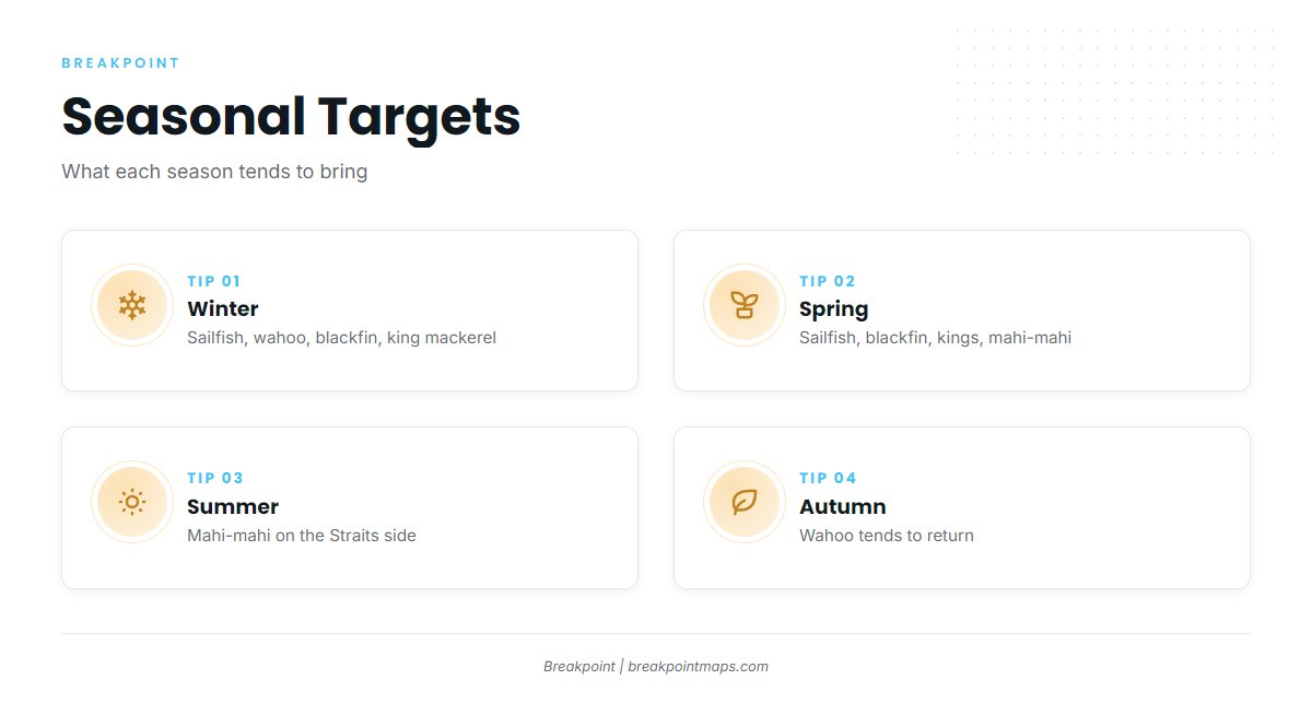
Winter tends to bring sailfish, wahoo, blackfin tuna and king mackerel along the Straits side. Cobia, yellowtail snapper and mutton snapper work the reef. Marlin and permit can show as well.
Spring
Spring often keeps the sailfish, blackfin and kings on the Straits side, and mahi-mahi tends to show. Amberjack, tarpon and the snappers fill out the reef and wreck fishing.
Summer
Mahi tends to be the main offshore target on the Straits side. Our guide to mahi-mahi in the Atlantic Southeast covers how it behaves along the edge. Grouper, snappers, tarpon and sharks can round out a day.
Autumn
Wahoo tends to return, and wahoo in the Atlantic Southeast tends to run the Straits edge. Blackfin, sailfish, amberjack and the snappers can show too. During hurricane season, watch the NHC and NWS forecasts when planning.