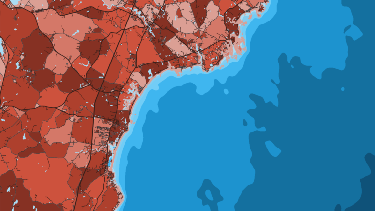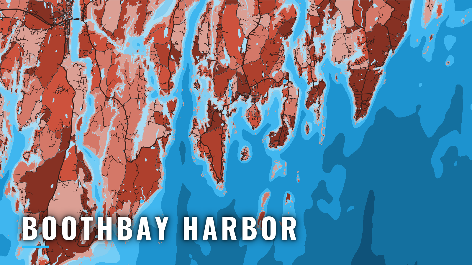

About Boothbay Harbor
Boothbay Harbor sits at the head of Booth Bay, between the Sheepscot and Damariscotta rivers, and opens onto the Gulf of Maine on the Maine coast. The core season runs from late spring through mid-autumn. Offshore, the targets are bluefin tuna, sharks, haddock, pollock and cod on the ledges and banks. Inshore, you fish striped bass in the Sheepscot and Kennebec and mackerel in the harbor. Seasons and limits change, so check the Maine DMR recreational fishing rules before you fish.
Access and navigation
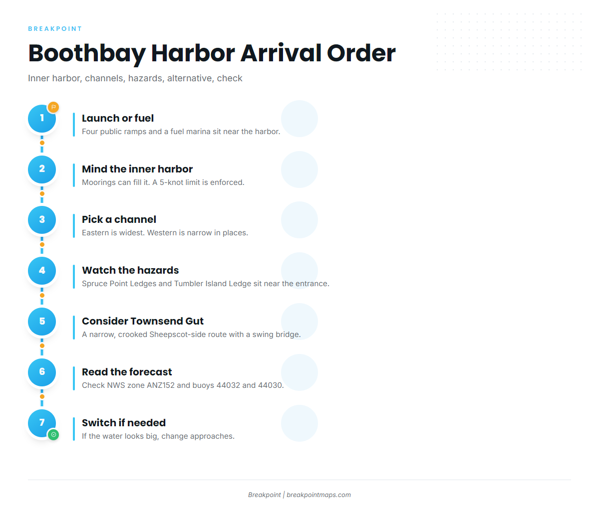
Boothbay Harbor has several public ramps within a short run of the bay, plus a marina with fuel.
- Carousel Marina – fuel listed, in the harbor.
- Boothbay Harbor Yacht Club – rental moorings with launch service.
- Boothbay Harbor Town Landing ramp – in the harbor, no on-site parking.
- Knickercane Island State Park ramp – northwest of Boothbay, ample parking.
- Murray Hill Road ramp, East Boothbay – at the head of Linekin Bay.
- Back River trailer ramp, Boothbay – Town of Boothbay ramp.
Two natural channels lead into the harbor, as described in NOAA Coast Pilot 1, Chapter 8. The eastern channel runs between Spruce Point and Squirrel, Burnt and Mouse Islands, and it is the widest. The western channel runs between those islands and Southport Island and can be narrow in places. In summer the inner harbor can be nearly filled with boats, many of them unlighted at night, along with numerous unlighted moorings. A 5-knot speed limit is enforced in the harbor, and the footbridge drawspan at the head of the harbor has 4 feet of clearance. Spruce Point Ledges are awash at low water in the middle of the Linekin Bay entrance, and the preferred channel is outside the southern buoy. Tumbler Island Ledge is covered 9 feet, and the passage between Tumbler Island and Spruce Point tends to be shoal and foul. For moorings and harbor rules, contact the Boothbay Harbor Harbor Master on VHF 9 or 16.
Townsend Gut is the alternative: a narrow, crooked thoroughfare linking the harbor with the Sheepscot River. A 5-knot limit applies through the Route 27 swing bridge, which has 10 feet of clearance when closed. A rock covered 5 feet lies about 100 yards southeast of the bridge, and a boat waiting for the bridge to open can be set eastward toward it. Fog tends to arrive on east to southwest winds, and westerly and northerly winds tend to clear it. It is often clearer up the bays and rivers when it is thick outside.
Look at the water when you arrive and read the NWS coastal marine forecast for zone ANZ152, Port Clyde to Cape Elizabeth out 25 NM. Check buoys 44032 (E01 Central Maine Shelf) and 44030 (B01 Western Maine Shelf) on the NDBC Northeast buoy list. If conditions look bigger than you want, change your approach: run the eastern channel instead of the western one, or use Townsend Gut toward the Sheepscot.
Fishing conditions
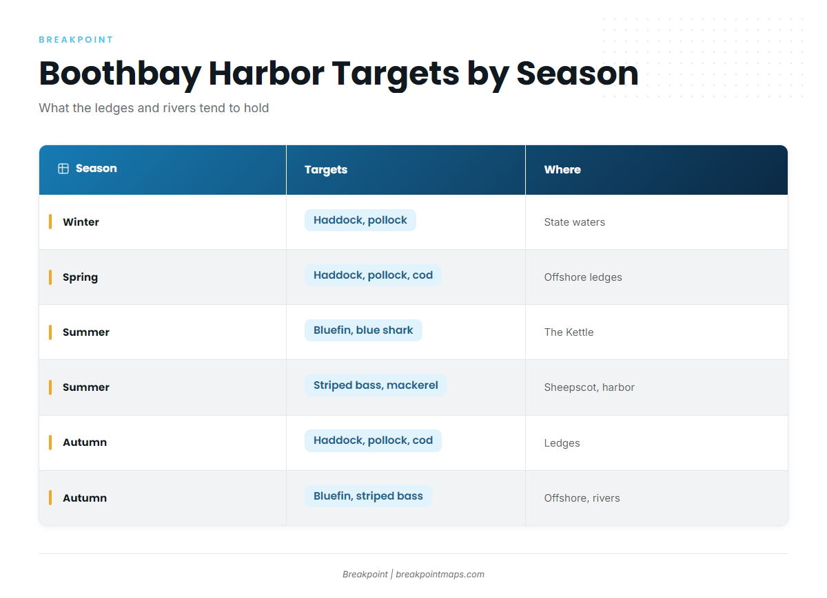
The offshore ledges and banks for bluefin and sharks are The Kettle, the Sagadahoc Ledges and Platts Bank. Jeffreys Ledge and Platts Bank are named spring haddock ground. The Kettle lies south of Seguin Island, which is the landmark to work from. Inshore, you fish the Sheepscot, the Kennebec and Linekin Bay.
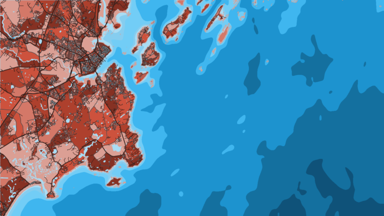
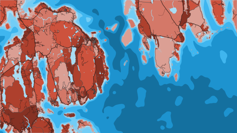
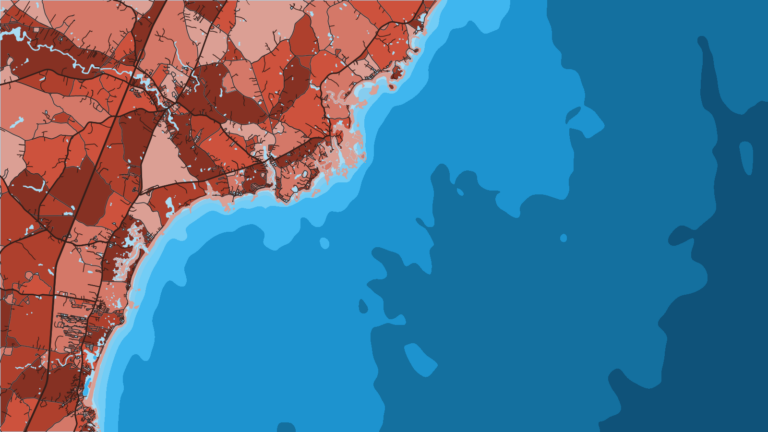
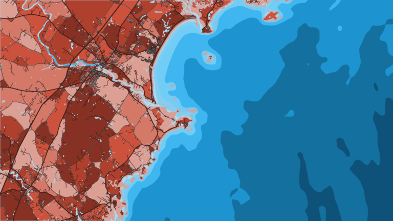
Chart Contours shows the ledge edges around The Kettle and Platts Bank. OBS SST and Chlorophyll show where the temperature break and bait water sit on a given pass, though cloud and fog can block a satellite pass. Chart layers are not for navigation.
Anyone recreationally fishing Maine saltwater registers once a year and carries proof of registration or exemption. Maine DMR runs the registry.
Winter
Haddock can be kept in state waters except in March, and pollock is open year-round in state waters. Cod possession is closed outside a short autumn window, so check DMR. Shelf buoys 44032 and 44030 are the first thing to read before any winter run.
Spring
Haddock, pollock and cod fish the offshore ledges. Jeffreys Ledge and Platts Bank are named April haddock ground. The first tuna can show on the ledges.
Summer
Striped bass work the Sheepscot, the Kennebec and the harbor approaches. The Sheepscot sits inside the Kennebec watershed line from Cape Small to Salter Island to Cape Newagen, and striper rules differ inside it, so check Maine DMR before you fish there. Mackerel tend to be inside the harbor and serve as striper bait.
Bluefin tuna work The Kettle and the Sagadahoc Ledges. A vessel fishing for tunas or sharks needs an HMS Angling permit through the Atlantic HMS permits site. Blue sharks are on the same grounds. Taking coastal sharks in Maine territorial waters is prohibited, so check DMR and HMS rules before keeping any shark. All of this is fished from the same ramps and moorings.
Autumn
Haddock, pollock and cod return to the ledges. Cod has a short state-waters window, so check DMR. Bluefin hold on the offshore grounds, and the pattern for bluefin in the Northeast is covered in its own guide. Stripers keep running in the rivers into the fall, and the guide to striped bass in the Northeast covers the run.
More Maine ports: Portland, Bar Harbor.