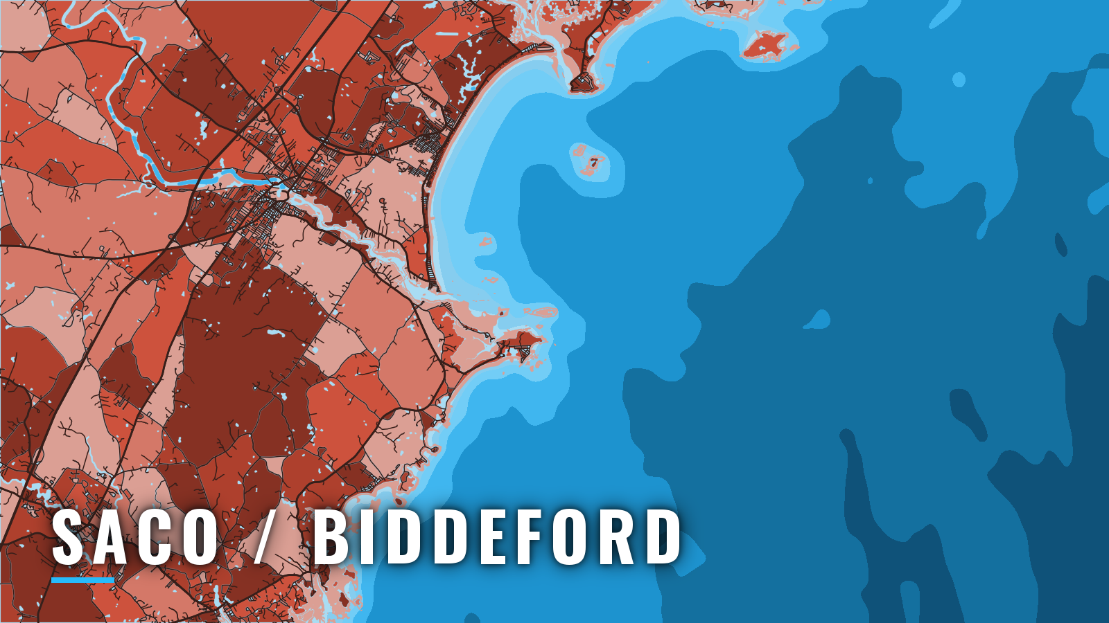

About Saco / Biddeford
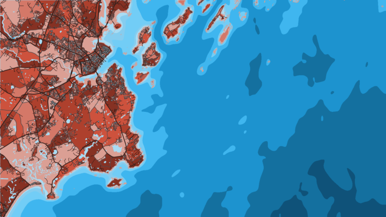
The Saco River reaches Saco Bay through a jettied, buoyed channel over a bar. Camp Ellis sits on the north bank at the mouth, and Biddeford Pool is a small harbor off the south side of Wood Island Harbor. Both are on the southern Maine coast. Saco Bay opens southwest of Cape Elizabeth, with Portland’s Casco Bay beyond it, and Cape Porpoise is about 7.5 miles southwest of Wood Island Light.
Offshore fishing out of Saco and Biddeford covers striped bass, cod, haddock, pollock, bluefin tuna and bluefish; the species guides have the detail. The Maine DMR recreational fishing rules cover state waters. Anyone fishing Maine saltwater registers with the saltwater registry each year, so check the rules before you go out.
Access and navigation
Public launches and marinas on the river:
- Camp Ellis Pier: just inside the Saco River entrance on the north bank, with gas, diesel, pump-out and a ramp.
- Marblehead Boat Launch: state-operated, on Route 9 along the Saco River.
- Marstons Marina: north bank, about 3.5 miles upriver, with 10 feet reported alongside the floats.
A state park on the south bank, about 2.5 miles below Saco, has a large car-and-trailer lot and a small-craft launching ramp.
Saco River entrance
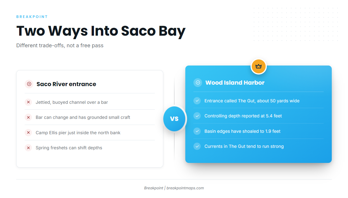
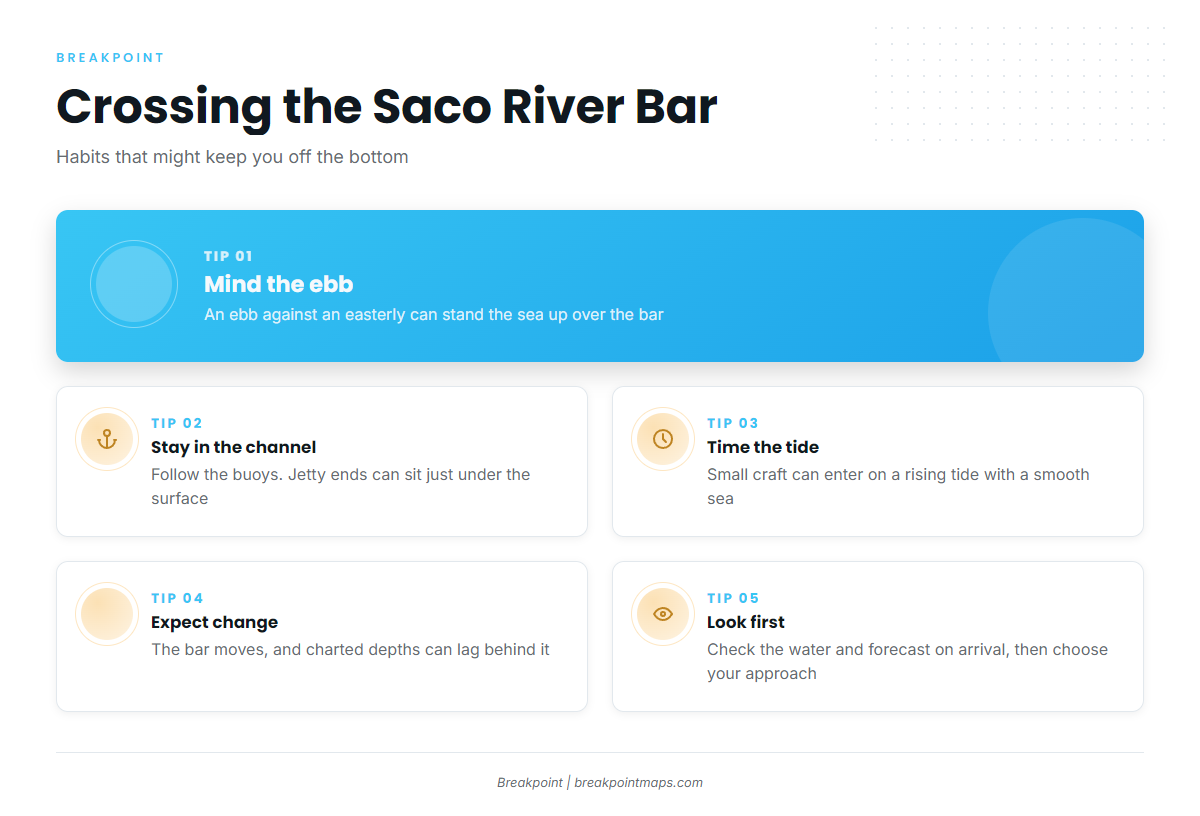
NOAA Coast Pilot 1, Chapter 9 says the bar is subject to change. Several small craft have grounded crossing it, in either direction, on the ebb with an easterly wind. Because the bar moves, charted depths can lag behind it.
Small craft can enter with a smooth sea on a rising tide. They pass between Ram Island Ledge and Stage Island, then follow the buoyed channel over the bar. When an ebb runs out against an onshore wind, the sea tends to stand up over the shallow bar, and boats find bottom in the troughs.
The outer 0.6 mile of the south jetty and the outer 0.4 mile of the north jetty are covered at high water. Near high water the outer rock can sit just under the surface, so the visible jetty may be shorter than the real one. Keep to the buoyed channel and use the daybeacons, which mark the south jetty about mid-length and the outer end of the north jetty.
From March to May, river freshets can change channel depths by as much as 8 feet and set up strong currents. Spring runoff can move sand and add current on top of the ebb. Ice closes the river from January to April.
Alternative approach: Wood Island Harbor and The Pool
Wood Island Harbor, marked by Wood Island Light, leads to Biddeford Pool. It has its own hazards. The Pool entrance, called The Gut, is about 50 yards wide. The dredged channel to the basin has a reported controlling depth of 5.4 feet, and the basin has shoaled to 1.9 feet along its edges. Tidal currents in The Gut tend to run strong.
Before you commit
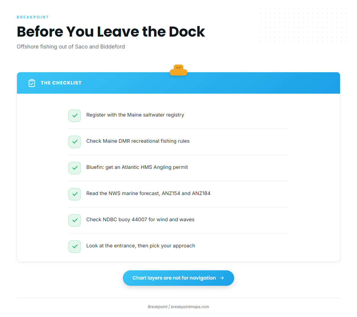
Chart layers are not for navigation. Use the official NOAA chart and the Coast Pilot. Read the NWS Gray/Portland marine forecast for zone ANZ154 (Cape Elizabeth to Merrimack River, out 25 NM) and ANZ184 (25 to 60 NM). NDBC buoy 44007 sits 12 NM southeast of Portland, so check wind, wave height and period there. Forecasts miss, so look at the water when you arrive, and if the entrance looks bigger than you want, switch approaches.
Fishing conditions
Inshore, you fish Saco Bay and the water around Wood Island. Offshore, the named grounds are Jeffreys Ledge, Tantas and Platts Bank, all in the Gulf of Maine. Maine state waters run to 3 nautical miles, and federal rules apply beyond that.
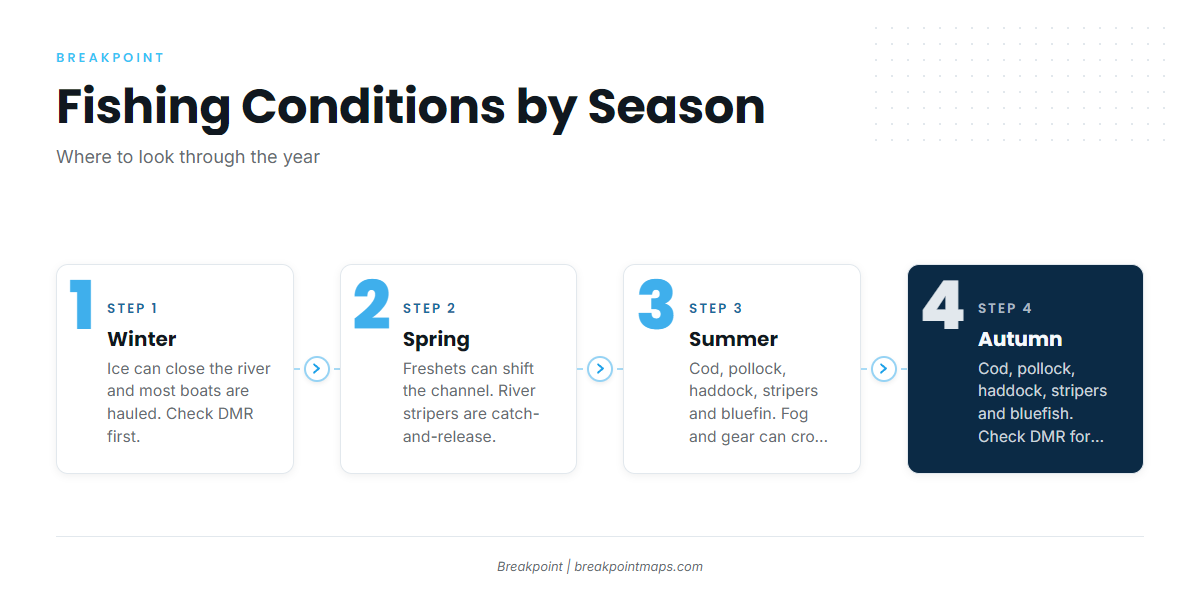
The species line up by season as follows:
| Season | Species |
|---|---|
| Winter | Few boats in the water |
| Spring | Striped bass, groundfish |
| Summer | Cod, pollock, haddock, striped bass, bluefin tuna |
| Autumn | Cod, pollock, haddock, striped bass, bluefish |
Winter
Ice closes the river from January to April, and most boats are hauled. Haddock cannot be kept in March under DMR rules, so check DMR before any late-winter trip.
Spring
March to May freshets can change the river channel, as covered above. Saco River striped bass rules differ from the coast, and DMR sets them:
- Catch-and-release only from May 1 to June 30, on single-hooked artificial lures.
- No marine bait in these waters.
- No fishing upstream of the Route 9 / Main Street bridge.
Groundfish fishing on the ledges opens up as boats return to the water.
Summer
Cod, pollock, haddock, striped bass and bluefin tuna make up the summer mix. Bluefin work the offshore grounds, and the boat needs an Atlantic HMS Angling permit. Stripers work the bay and river, and the striper run across the Northeast shapes when they show.
Taking coastal sharks, including mako, is prohibited in Maine territorial waters. Check DMR and HMS before you go. Fog can close in, and lobster gear can crowd the approaches and trolling lanes.
The OBS SST and Chlorophyll layers can show temperature breaks and bait water near Jeffreys Ledge and Platts Bank. Cloud can block a satellite pass, and chart layers are not for navigation.
Autumn
Cod, pollock, haddock, striped bass and bluefish fill the autumn mix. Cod retention is seasonal, so check DMR for the open window. Bluefish join the mix inshore, and mackerel can serve as bait.