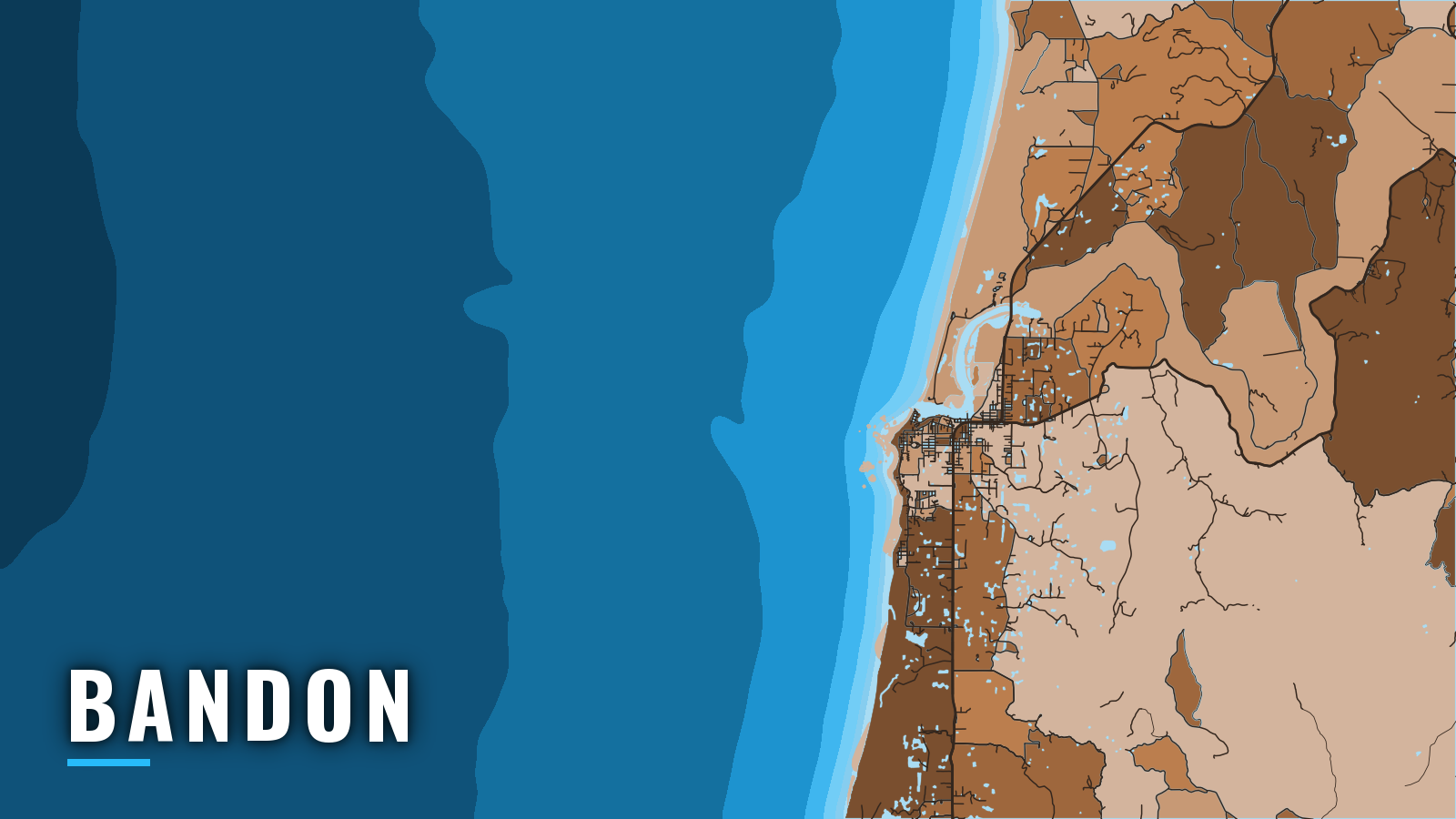

About Bandon
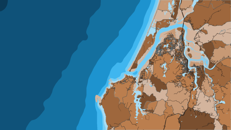
Bandon sits at the mouth of the Coquille River on the southern Oregon coast, and boats reach the Pacific across a jettied river bar. The Coos Bay entrance lies to the north and Port Orford to the south. The port has a port-district marina, a public two-lane boat ramp, a crab dock and a fuel dock.
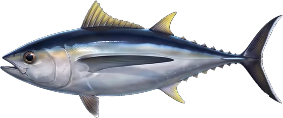
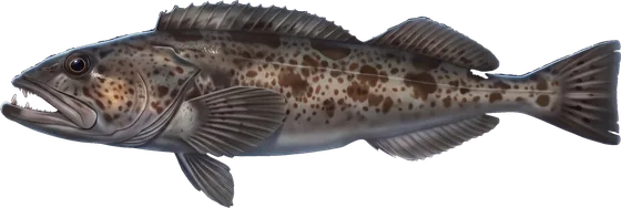
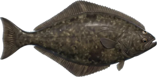
The offshore fishery runs year-round and shifts with the seasons. Anglers target Chinook and coho salmon, rockfish and lingcod, Pacific halibut, albacore and Dungeness crab. For how these species behave across the region, see the Pacific Northwest fishing guide. The Oregon Department of Fish and Wildlife (ODFW) sets the ocean rules, so check its pages before you fish.
Access and navigation
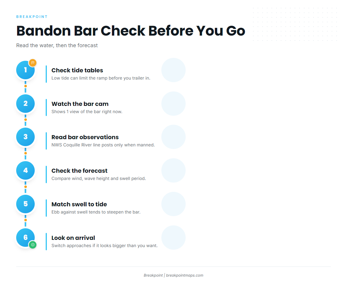
The Port of Bandon boat ramp is a two-lane public launch. Tides affect it, and tide information is posted on the ramp piling. A low tide can limit the ramp, so check tide tables before you trailer in. ODFW also lists river ramps at Bullards Beach State Park, Rocky Point and Riverton.
The Port of Bandon marina and small-craft basin sit on the south side of the river, about 0.9 mile above the entrance. Fuel is listed at the marina.
Jetties protect the Coquille River entrance, and the south jetty has a light and sound signal. The Coast Pilot notes for Bandon say the channel is subject to frequent change and the deepest water is not always on the entrance range. They also say the bar is reported to break even in calm seas, and that mariners favor the north side when approaching the range.
An ebb tide running out against incoming swell tends to steepen the bar, so compare swell height and period with the tide before you commit. Because the channel shifts, a crossing line that worked before is no guarantee it will work again.
A seasonal rough bar advisory sign stands on the south shore, just north of the Coast Guard station. Its 2 quick-flashing amber lights activate when hazardous conditions exist and the bar is restricted to recreational and uninspected passenger vessels.
The bar cam shows the bar now and the forecast shows the trend; neither shows both, so use them together:
- Port of Bandon Coquille River Bar Cam. It shows 1 view of the bar.
- Port of Bandon Port Entry. The Port directs boaters to Coast Guard Station Charleston for bar conditions.
- NWS local bar observations. The Coquille River line is available only when manned.
- NWS marine forecast. This is the official marine forecast for the waters off Bandon. Check the wind, wave height and period it gives.
Crab pots are not allowed in the Coquille River navigational channel. The Port’s chart shows the channel as a white dotted strip from the ocean mouth up to the bridge, and pots found in the channel may be pulled.
The Coos Bay entrance to the north is the alternative approach. Check the water and the official forecast on arrival, and switch approaches if conditions look bigger than you want.
Fishing conditions
The nearby water is nearshore rocky reef close to the Coquille River entrance, with Coquille Point as a landmark. Offshore, depth lines matter more than any named spot. The ODFW Bandon fathom line map shows the 30-fathom and 40-fathom regulatory lines:
- The 30-fathom line governs descending device use on released rockfish.
- The 40-fathom line separates the nearshore halibut fishery and the long-leader fishery.
- Every vessel fishing for or holding bottomfish or halibut carries a working descending device at any depth.
The ODFW Marine Zone fishing report covers in-season conditions.
Winter
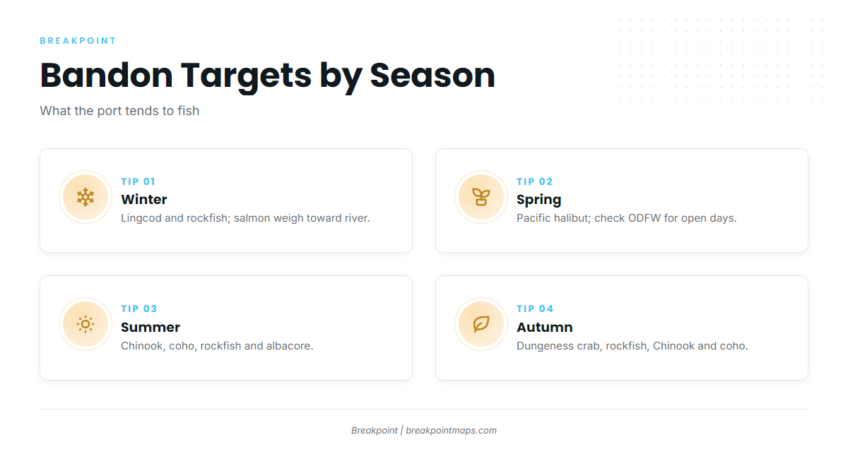
Chinook, coho and steelhead are weighted toward the river and estuary. Winter swell tends to limit ocean days. Lingcod and rockfish stay open year-round, per ODFW.
Spring
Pacific halibut is the target. Bandon falls in the Central Oregon Coast subarea, from Humbug Mountain to Cape Falcon, and ODFW Pacific halibut regulations set the structure. The subarea has all-depth and nearshore fisheries split at the 40-fathom line. For open days and quota, check ODFW or call the NMFS hotline at (800) 662-9825.
Summer
Chinook and coho work the ocean, and rockfish hold on the nearshore reef. Albacore follow sea surface temperature breaks, so check the OBS SST and Chlorophyll layers in Breakpoint before a long run. Chart layers are not for navigation. Afternoon northwesterlies can shorten summer trips, so check the forecast wind before you go.
Autumn
Dungeness crab, rockfish, Chinook and coho are the targets. Keep pots out of the white-dotted channel.