
About Port Aransas
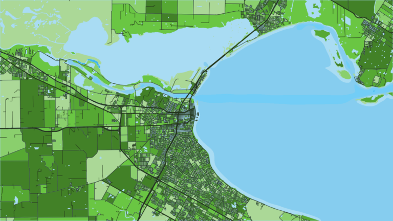
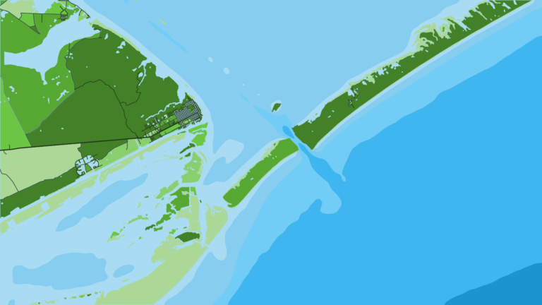
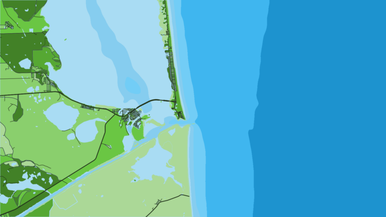
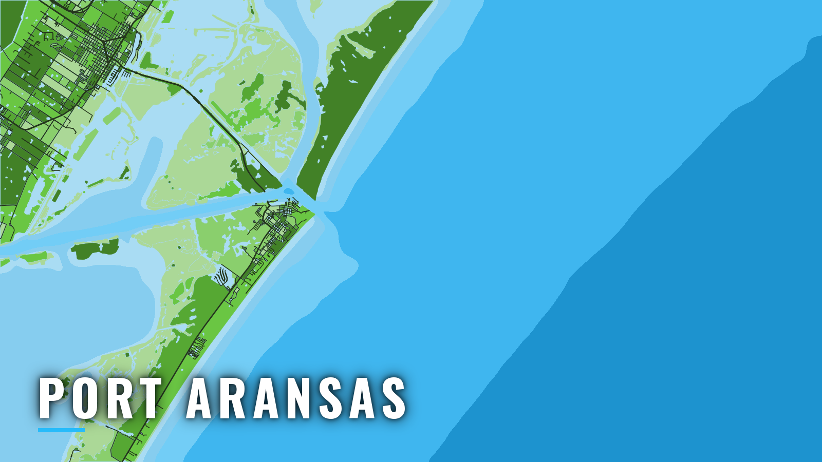
Port Aransas sits at the north end of Mustang Island, at the inner end of the jettied Aransas Pass. The pass faces southeast, between the Mustang Island and San Jose Island jetties, and links Aransas Bay and Corpus Christi Bay with the Gulf of America (Gulf of Mexico). It is one of the main deep-water access points on the Texas coast and suits anyone who trailers or keeps their own boat.
Offshore fishing runs year-round and peaks in summer. Anglers target tuna, wahoo, kingfish (king mackerel), mahi-mahi, amberjack, red snapper and billfish.
Access and navigation
The ramps, marinas and city harbor are on the ship channel side of town. Inside water includes the Corpus Christi Ship Channel and Lydia Ann Channel.
- Dennis Dreyer Municipal Harborcity-run harbor at Roberts Point Park with public boat ramps, slips and a fish cleaning station.
- Conn Brown HarborHarbor Point Park boat ramp, run by the City of Aransas Pass.
- Deep Sea Headquartersmarina with fuel.
- Fisherman’s Wharfmarina with fuel.
Channel and traffic
Deep-draft ships use Aransas Pass and the Corpus Christi Ship Channel, and small boats share the channel with them. The Corpus Christi Ship Channel and Lydia Ann Channel are the inside approaches to the single pass.
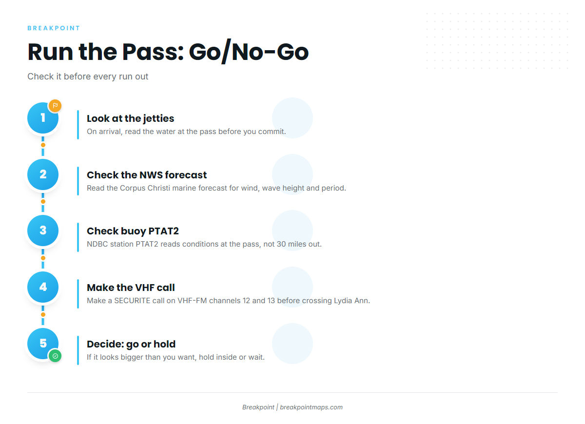
About 1.6 miles inside the entrance jetties, the channel crosses the Intracoastal Waterway alternate route at Lydia Ann Channel. Collisions, groundings and close-quarters passing have been reported there. The Coast Guard asks vessels to make a SECURITE call on VHF-FM channels 12 and 13 before crossing. These details come from U.S. Coast Pilot 5, Chapter 11.
The pass
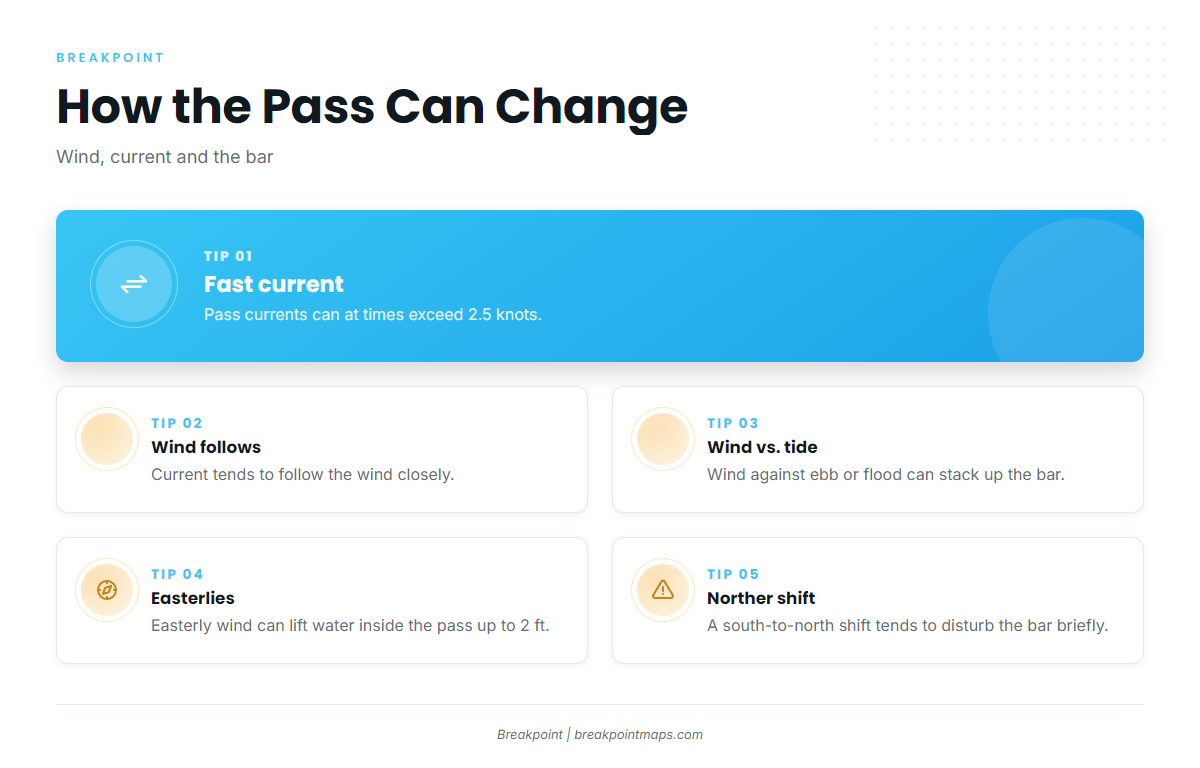
Currents in the pass can at times exceed 2.5 knots and tend to follow the wind closely. When wind opposes the ebb or flood, the bar can stack up.
Any easterly wind can disturb the bar, and it can also lift the water inside the pass by as much as 2 feet. A sudden shift from south to north tends to produce especially disturbed water over the bar for a short time.
Outside
The approach has partially divided parallel fairways. The northeast lane (298°) is recommended for inbound traffic and the southwest lane (118°) for outbound. These lanes are not a traffic separation scheme.
A southbound set, reinforced by northerly winds, has been reported to carry drift as high as 4 knots across the mouth. Offshore currents tend to set to the right of the wind or parallel to shore, at 0.5 to 1 knot in 20 to 40 mph winds. One grounding about 9 miles southwest of the pass was attributed to a strong west-setting current with north to northeast winds.
Before you commit
- On arrival, look at the water at the jetties.
- Check the NWS Corpus Christi marine forecast for wind, wave height and period.
- Check NDBC station PTAT2 at Port Aransas for observed conditions.
- If it looks bigger than you want, hold inside or wait.
PTAT2 reads conditions at the pass rather than far offshore, and the forecast may differ from what you find outside.
Fishing conditions
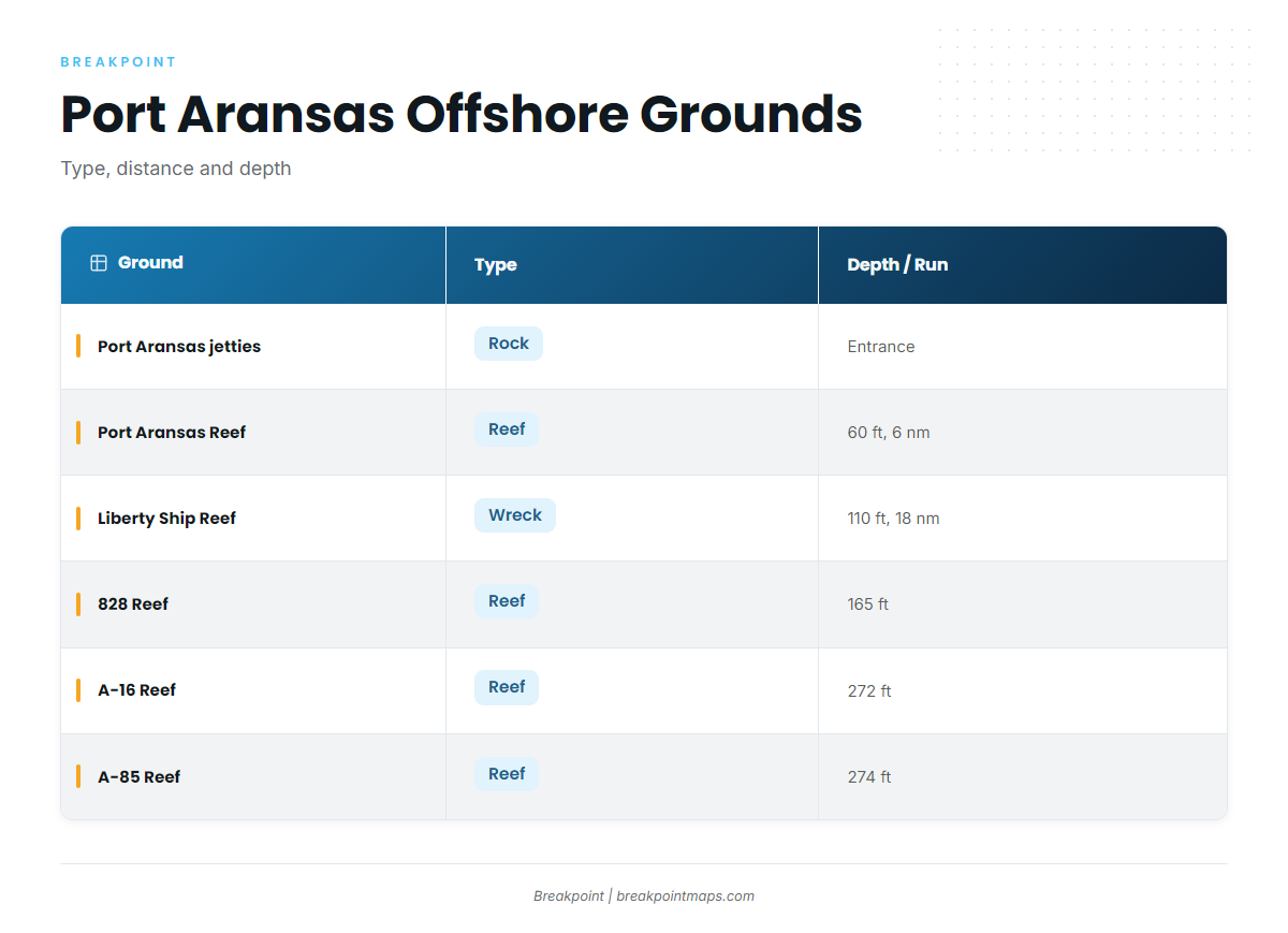
The grounds run from the jetties to deep artificial reefs. For tuna, billfish and swordfish tactics, see our guides to yellowfin tuna and swordfish.
| Ground | Type | Distance from entrance | Depth |
|---|---|---|---|
| Port Aransas jetties | Rock | At the entrance | Not stated |
| Port Aransas Reef | Reef | 6 nautical miles | 60 ft |
| Mustang Island Liberty Ship Reef | Wreck | 18 nautical miles | 110 ft |
| 828 Reef | Reef | Not stated | 165 ft |
| A-16 Reef | Reef | Not stated | 272 ft |
| A-85 Reef | Reef | Not stated | 274 ft |
Oil and gas platforms add structure that holds baitfish and pelagics.
You can look at reef depths on Chart Contours and temperature edges on OBS SST before the run. Chart layers are not for navigation.
Texas Parks and Wildlife Department (TPWD) sets state limits out to 9 nautical miles, and those limits also apply to fish landed in Texas. Check TPWD before fishing.
Winter
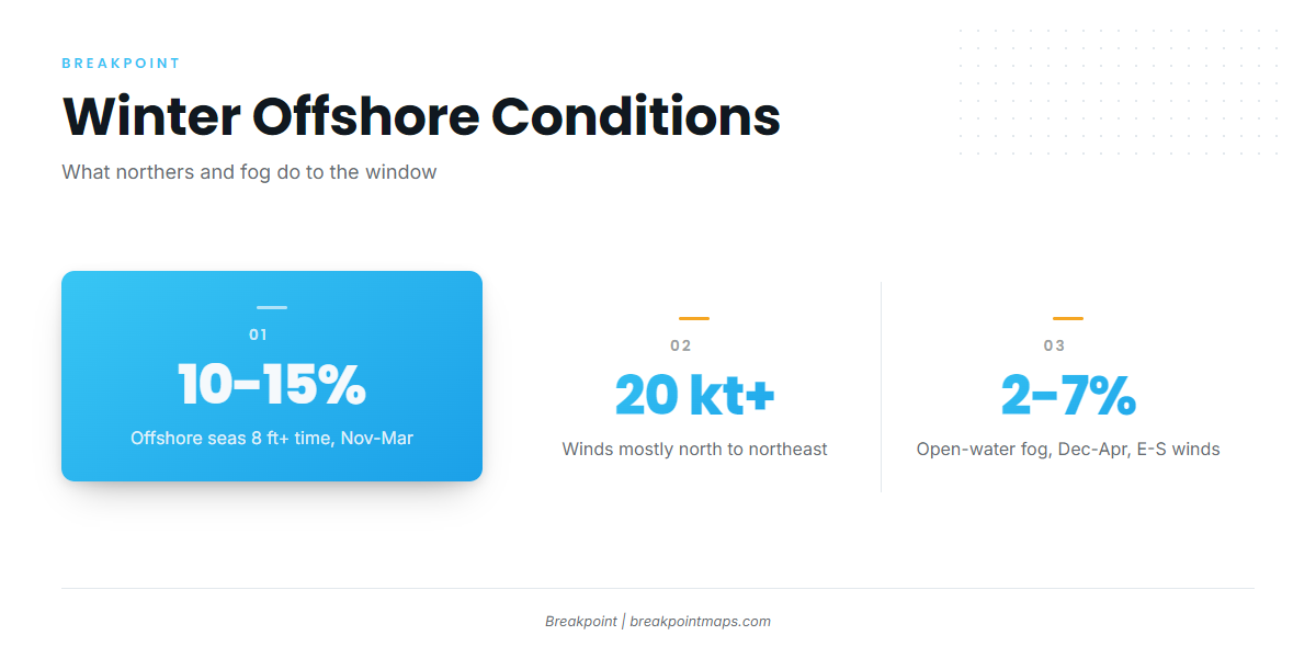
Wahoo and tuna, including blackfin tuna in the Gulf, are the winter targets. Northers set the pattern. Northerlies and northeasterlies account for most winds over 20 knots, and offshore seas of 8 feet or more occur 10 to 15 percent of the time from November through March.
Fog is likely near Aransas Pass from late November through February. Over open water, fog is reported 2 to 7 percent of the time from December through April, and it is most likely with winds from east through south. Trips happen in the windows between fronts, so read the forecast and PTAT2 before you leave the dock.
Spring
Spring brings tuna, kingfish, mahi-mahi, billfish and amberjack. Blackfin tuna show up in the mix, along with white marlin among the billfish. Kingfish and mahi-mahi fill out the second half of the season alongside amberjack.
Summer
Summer is the peak, and red snapper is the headline species. State waters are open year-round. TPWD sets the federal-water season, which closes when harvest is projected to reach the Texas limit. Check the TPWD red snapper rules before fishing.
Billfish season brings blue marlin and sailfish, with kingfish and mahi-mahi working the same water.
Summer winds tend to come from the south, moderate to fresh in the afternoon, so plan the ride home around that.
Autumn
Autumn runs to tuna, including yellowfin tuna in the Gulf, plus wahoo and kingfish. Northers return toward November, and seas build again.