When albacore are in range of Neah Bay
Albacore fishing out of Neah Bay depends on warm water. A local guide puts the fish offshore in warm-water years, from late summer into fall, and that window decides whether the trip happens at all, before any fuel math. Ramp, harbor and conditions detail is in the Neah Bay port guide.
This page covers the sourced distances, the named structure to mark on the plotter, the methods used locally and the boats that list tuna.
- Gate: warm-water years
- Window: late summer into fall
- Direction: offshore, well past the harbor grounds
Warm-water years
Whether albacore come within range of Neah Bay depends on the water year. In some years they do not, and no chart can promise the fish will show. For the coastwide picture and why some years produce and others do not, read the Pacific Northwest albacore guide (see also the Pacific Northwest fishing guide).
Late summer into fall
A local guide gives the window as late summer into fall. That is the stretch to watch, and the next question is how far you have to run to reach the fish.
How far boats run from Neah Bay
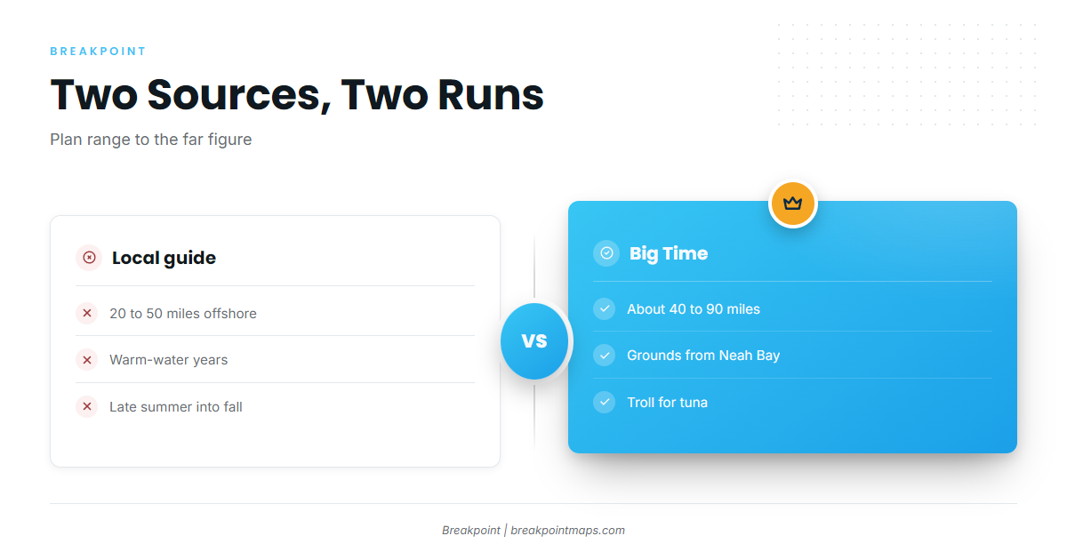
Two sources give different runs to albacore water from Neah Bay: 20 to 50 miles in warm years, and about 40 to 90 miles. We have not merged them into one range, since they come from different sources and the run changes with the water year. Plan for the far figure, because the fish can sit anywhere inside either span.
The sourced range: 20 to 50 vs about 40 to 90 miles
- A local guide gives 20 to 50 miles offshore in warm years.
- Big Time Sportfishing puts its grounds at about 40 to 90 miles from Neah Bay, as stated on Big Time’s albacore trip page.
The 40 to 50 mile band appears in both figures. That is arithmetic, not a prediction.
Compared with La Push
Anglers on one forum report that the fish at Neah Bay run farther out than at La Push. Treat that as a single report when you weigh the two ports.
Grounds and structure on the run
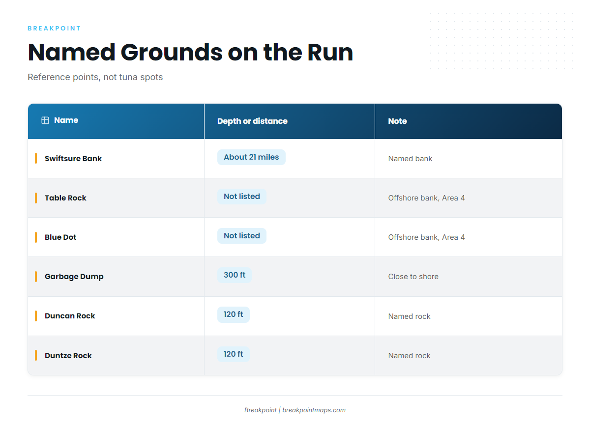
The names below are banks, rocks and islands on and around the run out of Neah Bay. Use them as reference points and as nearshore or bottomfish grounds. No source says these spots hold albacore; the tuna water lies offshore beyond them, at the distances above.
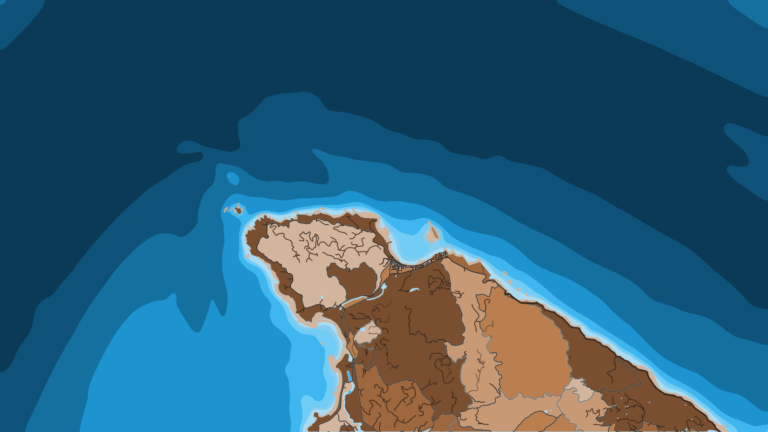
You can plot these grounds against Chart Contours in Breakpoint. Chart layers are not for navigation.
| Name | Depth or distance | Note |
|---|---|---|
| Swiftsure Bank | About 21 miles (one forum GPS reading) | Named bank |
| Table Rock | WDFW-listed offshore bank, Marine Area 4 | |
| Blue Dot | WDFW-listed offshore bank, Marine Area 4 | |
| Garbage Dump | 300 ft | Just west of Neah Bay, close to shore |
| Duncan Rock | 120 ft (20 fathoms) | Named rock |
| Duntze Rock | 120 ft (20 fathoms) | Named rock |
| Tatoosh Island | Lingcod and black rockfish area | |
| Waadah Island | Landmark at the harbor |
Swiftsure Bank
Swiftsure Bank sits about 21 miles from Neah Bay by one forum GPS reading. That is roughly the low end of even the 20 to 50 mile figure, so treat it as a waypoint on the way out and not as a tuna destination.
Table Rock and Blue Dot
WDFW lists both as offshore banks in Marine Area 4. We give no depths or distances for them.
Close to the harbor: Garbage Dump, Duncan and Duntze Rocks, Tatoosh and Waadah Islands
Garbage Dump sits at 300 ft, just west of Neah Bay and close to shore. Duncan Rock and Duntze Rock each sit at 120 ft (20 fathoms). Tatoosh Island is named as a lingcod and black rockfish area, and Waadah Island is a landmark at the harbor. These are close-in reference points and bottomfish water, and the albacore run carries on well past them.
How albacore are fished out of Neah Bay
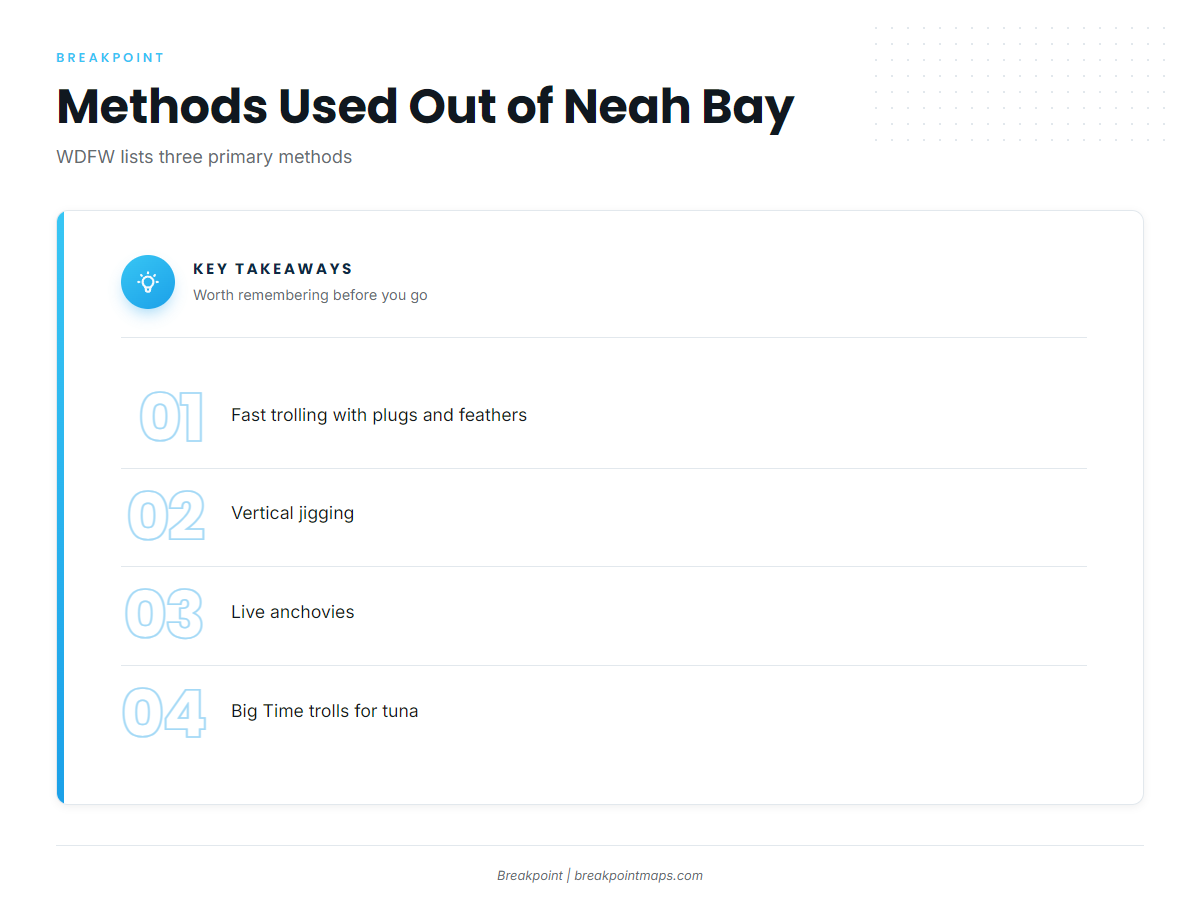
WDFW lists three primary methods, per WDFW’s albacore species page. For tackle, lure and speed detail, see our albacore trolling and jigging guide.
- Fast trolling with plugs and feathers
- Vertical jigging
- Live anchovies
Fast trolling with plugs and feathers
This is a WDFW-listed primary method. Big Time trolls for tuna out of Neah Bay.
Vertical jigging
Vertical jigging is the second WDFW-listed primary method.
Live anchovies
Live anchovies are the third WDFW-listed primary method.
Who fishes for them
Big Time Sportfishing (Ocean Sport Fishing) is the charter tied to this port. Its boat is the Pacific Fin II. It trolls for tuna and fillets the catch on the way back to Neah Bay.
SeaWalker Charters lists albacore tuna and lists Tanacom 750 reels and custom Prolite rods for its boat.
If you want to learn the fishery before running your own boat, look at charter or guided tuna trips.
FAQ about albacore fishing out of Neah Bay
How far is the run for albacore tuna fishing out of Neah Bay?
A local guide gives 20 to 50 miles offshore in warm years. Big Time Sportfishing puts its grounds at about 40 to 90 miles from Neah Bay. The run changes with the water year.
When are albacore around Neah Bay?
A local guide puts albacore offshore from Neah Bay in warm-water years, from late summer into fall.
Are albacore closer at Neah Bay or La Push?
Anglers on one forum report the fish run farther out at Neah Bay than at La Push. We have no La Push mileage to give.
Which charters list albacore out of Neah Bay?
Big Time Sportfishing runs the Pacific Fin II, trolls for tuna and fillets the catch on the way back to Neah Bay. SeaWalker Charters lists albacore tuna and lists Tanacom 750 reels and custom Prolite rods for its boat.
Is Swiftsure Bank a tuna ground?
Swiftsure Bank sits about 21 miles from Neah Bay by one forum GPS reading. It is a named bank and a reference point on the run. The albacore distances put tuna water farther offshore, so use it as a waypoint.
What methods are used for albacore here?
WDFW lists fast trolling with plugs and feathers, vertical jigging and live anchovies as the primary methods. Big Time trolls.