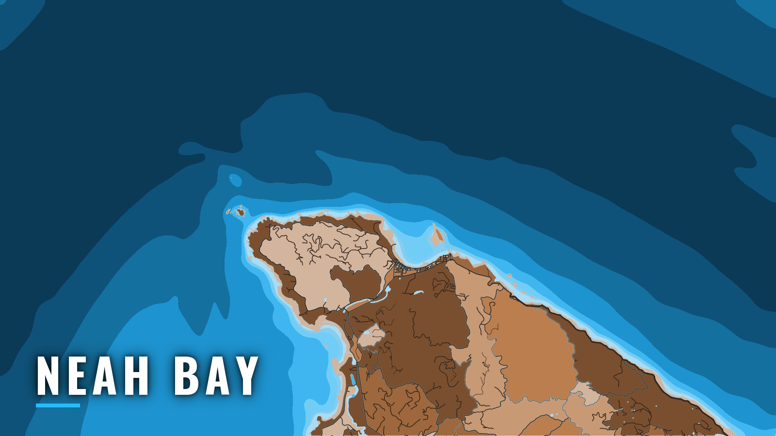

About Neah Bay
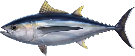
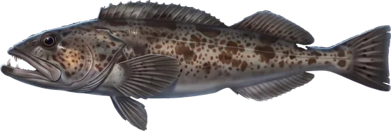
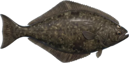
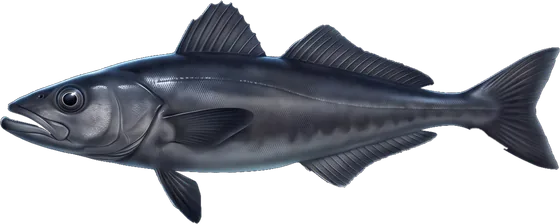
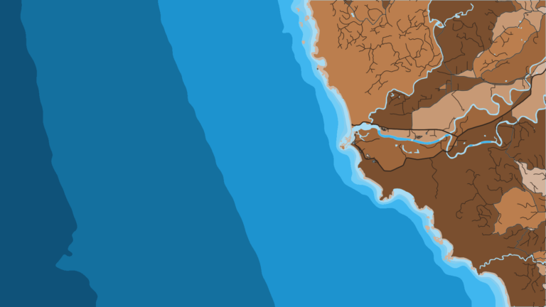
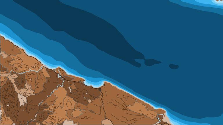
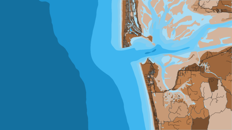
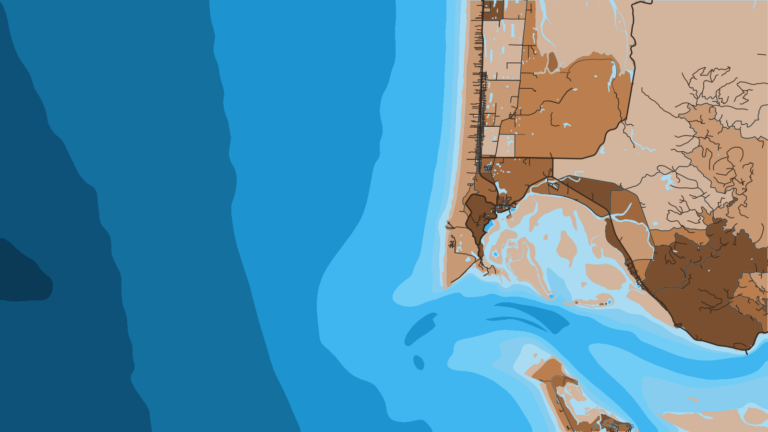
Neah Bay is a Makah Reservation harbor about 5 miles east of Cape Flattery, with direct access to the Strait of Juan de Fuca and the Pacific. It sits at the northwest corner of Pacific Northwest offshore fishing. Boats fish the inside water around Waadah Island and the outside grounds around Tatoosh Island and the offshore banks. The main window runs from late spring through summer, and anglers target Chinook, coho, Pacific halibut, lingcod and rockfish. The Makah Marina page carries tribal visitor information. Seasons and limits are on our Washington regulations page, and WDFW posts in-season changes on its WDFW North Coast halibut page. Check it before you fish.
Access and navigation
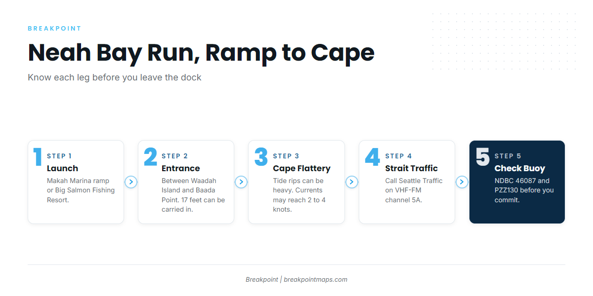
Public launch and moorage in Neah Bay:
- Makah Marina launching ramp – Makah Tribe (Port of Neah Bay) launch inside the harbor.
- Makah Marina – moorage with fuel listed, plus tribal visitor information.
- Big Salmon Fishing Resort – resort moorage and launch on the bay.
The bay is protected from all but east weather. The entrance runs between Waadah Island and Baada Point, and a depth of 17 feet can be carried into the bay, according to NOAA Coast Pilot 10. A reef and foul ground extend 0.2 mile from the southwest side of Waadah Island. A reef that bares extends 500 yards northwest from Dtokoah Point, southeast of the entrance. Keep both in mind on a falling tide if your boat draws more than a few feet.
West of the harbor, the water stacks up. When wind and swell run against the current, a short, choppy sea tends to build near the entrance to the strait. Tide rips off Cape Flattery can be heavy. Currents between the cape and Race Rocks may reach 2 to 4 knots, and the flood sets hard over Duncan and Duntze Rocks.
Conditions across the strait also affect the run home. In summer, an afternoon sea breeze can push winds in the Strait of Juan de Fuca to about 30 knots. Fog tends to be worst from about July through October and is most frequent at the west end of the strait. It can sit over the ocean entrance for days in light wind.
Traffic separation schemes cover the strait approaches, and a precautionary area lies west-northwest of Cape Flattery. The vessel traffic service in the strait is mandatory. You can call Seattle Traffic on VHF-FM channel 5A.
Boats of 14 to 20 feet often take the inside route, staying east of Tatoosh Island or working around Waadah Island when the forecast calls for it.
On arrival, look at the water and check the NWS marine forecast PZZ130 and NDBC buoy 46087, which sits 6 NM north of Cape Flattery. The forecast gives the expected conditions and the buoy reports what is actually running. If the water looks bigger than you want, switch to the inside approach.
Fishing conditions
The named grounds, from the harbor out to the banks:
- Waadah Island
- Green Can, at the entrance to Neah Bay
- Duncan and Duntze Rocks
- Tatoosh Island
- Seal and Sail Rocks
- Cape Flattery
- Makah Bay
- Garbage Dump
- Table Rock
- Swiftsure Bank
- Blue Dot
Rock piles hold lingcod along with rockfish. The Chart Contours layer shows the rock piles and the 20-fathom edge. Chart layers are not for navigation.
The Bonilla-Tatoosh Line splits Marine Area 4 into ocean water to the west and strait water to the east, and the rules change across it. WDFW has the details. The 20-fathom boundary is defined by coordinates that approximate actual depth but do not match it exactly.
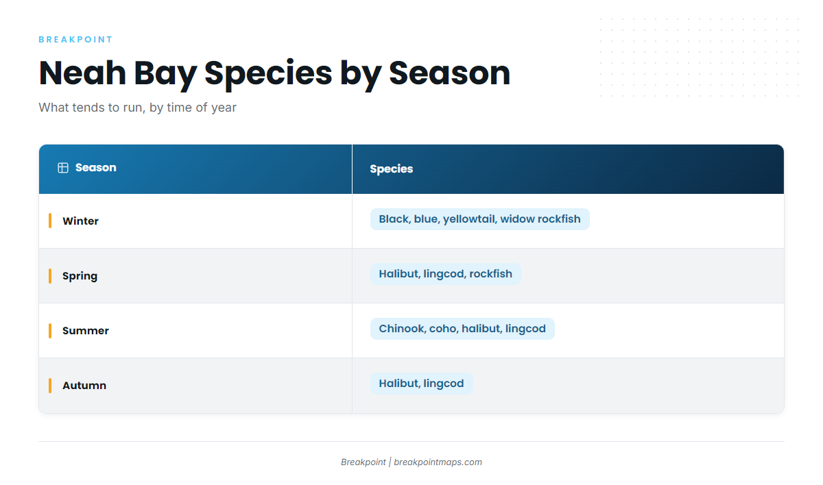
Winter
East of the line, inside the strait, black, blue/deacon, yellowtail and widow rockfish are the winter fish. Bottomfishing east of the line is closed seaward of the Bottomfish Closure line, so check WDFW for the boundary. From October through March, southeast winds average about 18 knots and can raise confused seas off Cape Flattery where they meet long southwest swells.
Spring
Spring brings Pacific halibut, lingcod and rockfish. Halibut is quota-managed, and Areas 3 and 4 share the North Coast quota with La Push. Halibut lawfully kept in Area 5, off Sekiu, may be landed here. Dates and quotas are on the regulations page. Inside, the rock piles around Waadah and Duncan are the nearer ground. Outside, Swiftsure Bank and Table Rock are the banks.
Summer
Summer has the widest range of fish: Chinook and coho, Pacific halibut, lingcod, and yellowtail and widow rockfish. Rock-pile lingcod at Duncan Rock, Tatoosh and Waadah get their own treatment in lingcod off Neah Bay.
From June 1 through July 31, bottomfishing west of the line is limited to inside a boundary approximating the 20-fathom (120-foot) contour, with exceptions on halibut days. The rules around Duncan and Duntze Rocks were adjusted for this window, so check WDFW before you fish them. Fog tends to be worst from July, and the afternoon strait wind is a factor on the run home. The inside approach is the fallback.
Autumn
Pacific halibut and lingcod are the autumn fish. Bottomfish west of the line close in October, so check the WDFW page for the day. Fog persists into October, and the October-through-March southeast pattern begins.