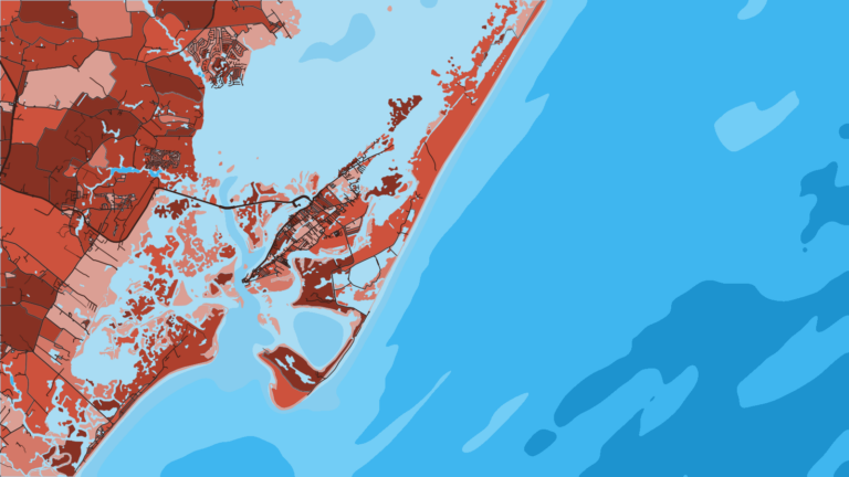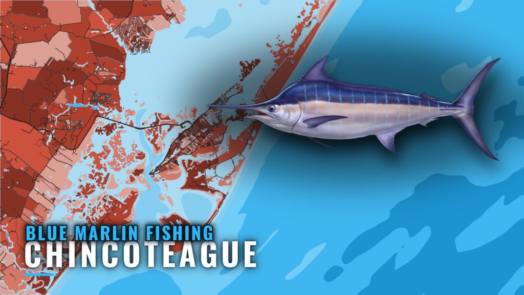
Blue marlin fishing out of Chincoteague means trolling offshore toward the Washington and Norfolk canyons, off Virginia’s Eastern Shore. Miss Stella also fishes Baltimore Canyon. Boats leave through the inlet, pass a string of named wrecks and reefs, and then clear the shelf.
This page covers timing, the canyons, the named structure from the inlet outward, and how Chincoteague boats fish. It also marks where the local record stops.
When marlin are off Chincoteague
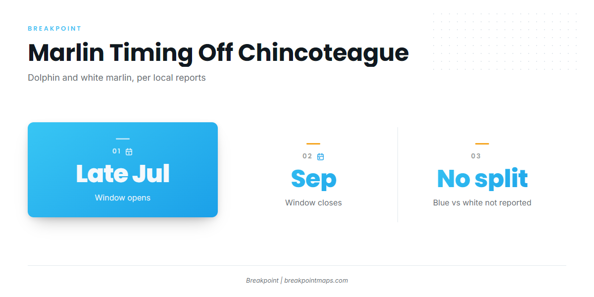
Local reports put dolphin and white marlin off Chincoteague from late July through September. There is no separate month-by-month calendar for blue marlin here, and local boats report marlin without separating blue from white. Treat that window as the stretch when billfish and dolphin are around, and plan around it.
For the species itself, see the guide to blue marlin. For the wider canyon picture along the coast, see blue marlin in the Atlantic Northeast (see also the Atlantic Northeast region guide).
- Dolphin and white marlin: both present from late July through September
- Marlin, blue or white: reported together, not split
Where Chincoteague boats run
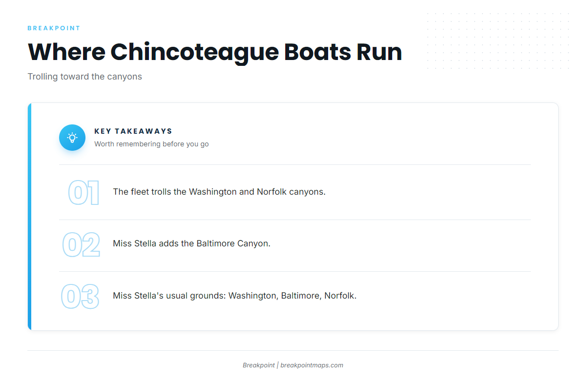
Offshore trolling runs from the inlet toward the Washington and Norfolk canyons, the two names that come up for the local fleet. Miss Stella lists the Washington, Baltimore and Norfolk canyons as its usual grounds, so Baltimore is the third name beyond the fleet’s pair.
| Canyon | Named by |
|---|---|
| Washington | Local boats, Miss Stella |
| Norfolk | Local boats, Miss Stella |
| Baltimore | Miss Stella |
Plan the run on your own boat’s numbers and the official forecast.
Structure between the inlet and the canyons
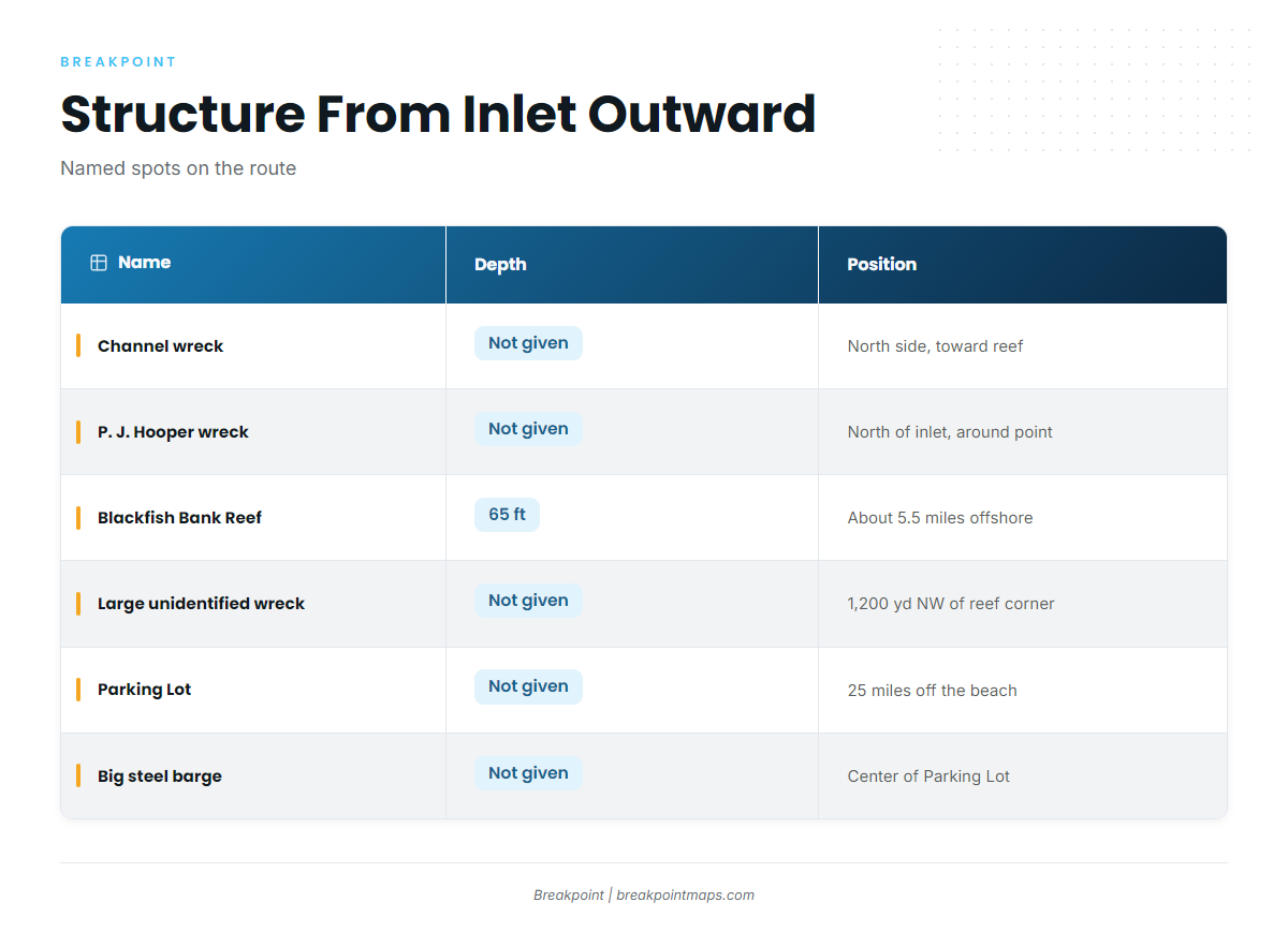
The structure below sits on the route out and belongs to the inshore program; it is not billfish ground. The list runs from the inlet outward.
| Name | Depth | Position |
|---|---|---|
| Unidentified wreck, north side of channel | not given | On the way out of Chincoteague Inlet toward the state reef |
| P. J. Hooper wreck | not given | North of the inlet, around the point |
| Blackfish Bank Reef (subway car patch) | 65 ft | About 5.5 miles offshore |
| Menhaden vessel wrecks (probable) | not given | Within Blackfish Bank Reef |
| Large unidentified wreck | not given | About 1,200 yards northwest of the reef’s northwest corner |
| Parking Lot | not given | 25 miles off the beach |
| Big steel barge | not given | Near the center of the Parking Lot |
| Little Hill | not given | not given |
You can check this structure on the Chart Contours layer in Breakpoint. Chart layers are not for navigation.
Inlet wrecks
An unidentified wreck sits on the north side of the channel, on the way out of Chincoteague Inlet toward the state reef. The P. J. Hooper wreck lies north of the inlet, around the point.
Blackfish Bank Reef
Blackfish Bank Reef sits in 65 ft, and FishTalk puts the reef about 5.5 miles out. The subway car patch and the probable menhaden vessel wrecks sit within the reef. Virginia’s Blackfish Bank Reef page carries the state’s description of the site. A large unidentified wreck lies about 1,200 yards northwest of the reef’s northwest corner.
The Parking Lot
The Parking Lot sits 25 miles off the beach. A big steel barge lies near its center.
Little Hill
Little Hill is a named local ground. The record gives no depth or position for it.
How marlin are fished here, and who fishes them
The local method is trolling, and reports say "marlin" without specifying blue or white. Miss Stella fishes the Washington, Baltimore and Norfolk canyons. For the wider set of species and ports, see the billfish guides.
FAQ
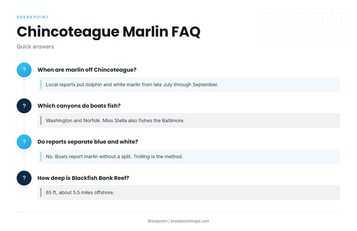
When are marlin off Chincoteague?
Local reports put dolphin and white marlin off Chincoteague from late July through September. The local record has no separate monthly calendar for blue marlin fishing out of Chincoteague, and boats report marlin without splitting blue from white.
Which canyons do Chincoteague boats fish?
Boats troll the Washington and Norfolk canyons off Virginia’s Eastern Shore. Miss Stella lists the Washington, Baltimore and Norfolk canyons as its usual grounds, with Baltimore the extra name on that list.
Do local reports separate blue and white marlin?
No. Local boats report marlin without separating the two species, and trolling is the method named. The record gives a late July through September window for white marlin and dolphin, and no separate blue marlin timing.
What is the Parking Lot?
The Parking Lot is a named ground 25 miles off the beach, with a big steel barge near its center. It is structure on the route out rather than a stated marlin ground, and the record gives no depth for it.
How deep is Blackfish Bank Reef?
Blackfish Bank Reef sits in 65 ft, about 5.5 miles offshore. It holds the subway car patch and the probable menhaden vessel wrecks, and a large wreck lies about 1,200 yards northwest of the reef’s northwest corner.