
About Chincoteague
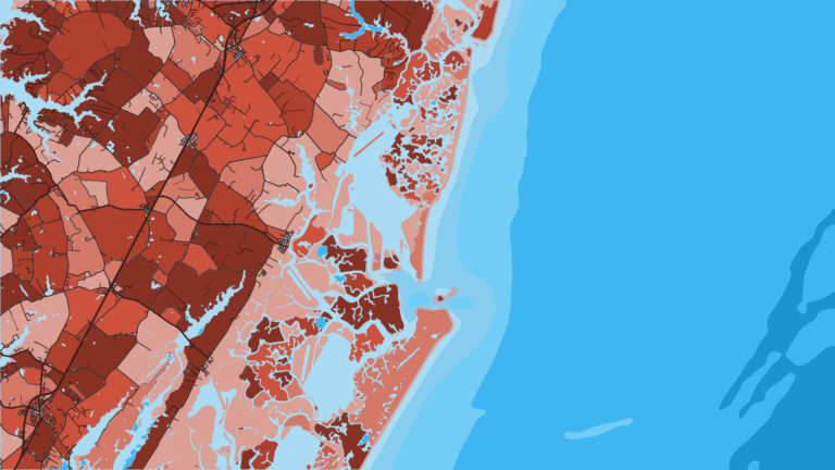
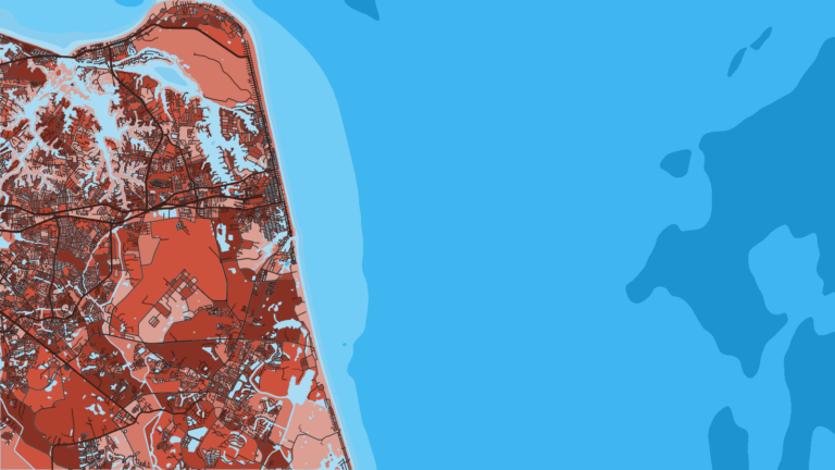
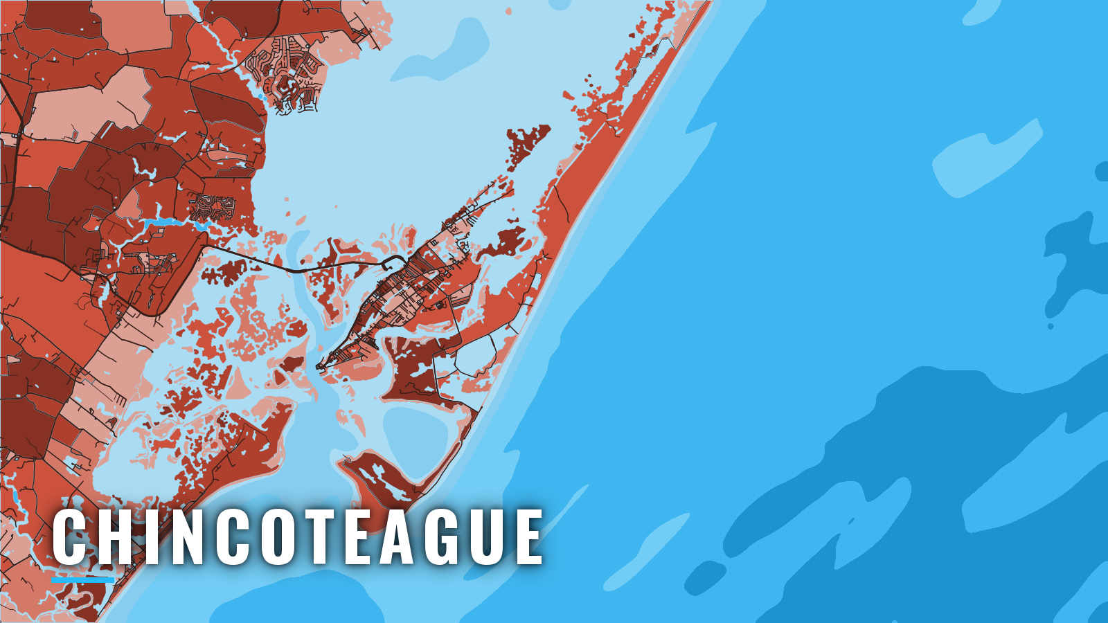
Chincoteague sits on Chincoteague Island on Virginia’s seaside shore. Boats leave Chincoteague Bay and Chincoteague Channel and reach the Atlantic through Chincoteague Inlet, between Assateague Island and Wallops Island. Trips range from bay flounder to nearshore wrecks and reefs to the offshore canyons for tuna.
The season runs roughly spring through autumn. Anglers target flounder, black sea bass, tautog, striped bass, black drum, bluefish, tuna and mahi-mahi. For the wider region, see the Atlantic Northeast fishing guide, and for bluefin movements along this stretch of coast, see the Atlantic Northeast bluefin guide. Saltwater rules come from the Virginia Marine Resources Commission (VMRC), so check them before you fish. This guide covers where to launch, how the inlet tends to behave, and what the grounds hold by season.
Access and navigation
The Town of Chincoteague runs public ramps and the main harbor. Each name below links to its own page.
- Curtis Merritt Harbor of Refuge – town harbor and ramp at the south end of the island off Main Street, with breakwater, finger piers, fish cleaning station and paved parking
- Eastside Boat Ramp – town ramp on Eastside Road
- Fir Landing – town ramp on Fir Landing Road
- Chincoteague Veteran’s Memorial Park – town park with a boat ramp
- Robert N. Reed, Sr. Downtown Waterfront Park – downtown transient slips
- Capt. Bob’s Marina – private marina on the island
The town sells an annual launch permit. Check its recreation page for terms.
Inlet behavior
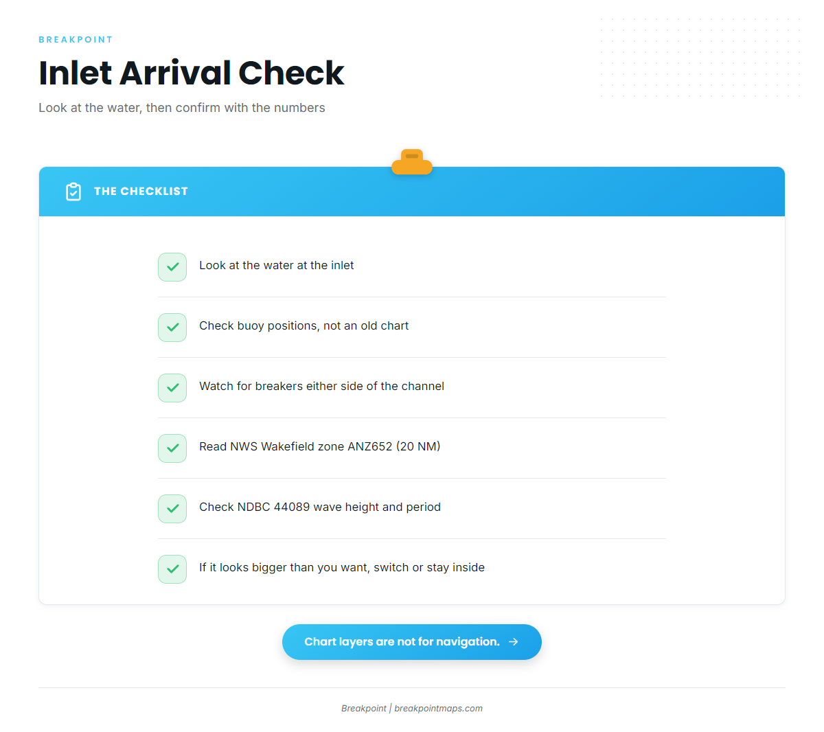
The marked channel through Chincoteague Inlet can shift often, and the buoys are moved to follow it. According to the NOAA Coast Pilot 3 directions, breakers show on either side of the channel. Assateague Light and the lookout tower on the south end of Assateague Island serve as marks for the approach. Fishing Point tends to keep building westward.
The channel can move faster than a chart is updated. Go by the buoy positions on the day rather than an older chart, and watch the breakers and the set of the current, which usually tell you more than a printed line.
Shoals and the approach buoy
There is no sea buoy on the approach. Lighted buoy R "2" marks Chincoteague Shoals, ESE of the entrance, and can be used as the approach point.
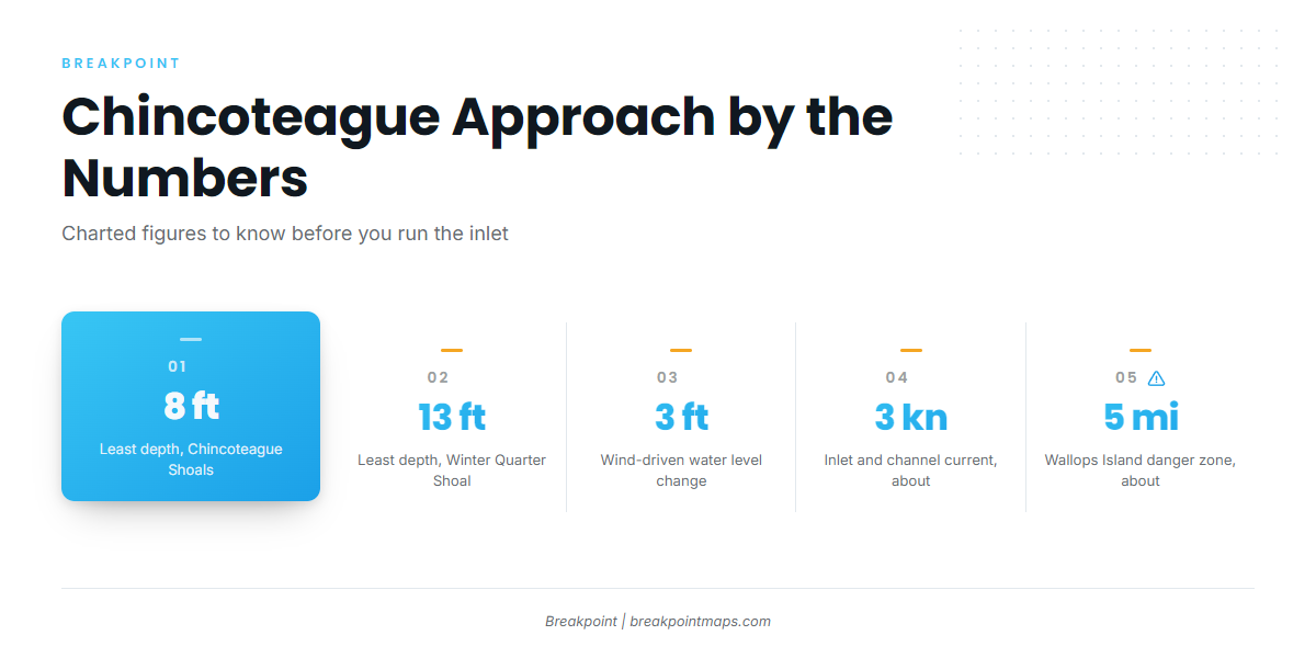
Chincoteague Shoals extend about 3 miles east and south of the lower end of Assateague Island. Least depth is 8 feet near Turners Lump, and breakers have been observed over the shoaler parts when winds are southerly. Winter Quarter Shoal lies 11 miles ENE of Assateague Light, with a least depth of 13 feet. It has shown breakers in high winds and seas.
Wallops Island danger zone
A danger zone extends about 5 miles off Wallops Island and covers the area just southwest of the entrance. Its limits and rules are set in 33 CFR 334.130. Check them before you route south.
Wind, water level and current
Water levels in the inside waters, including Chincoteague Bay, respond strongly to wind. Easterly winds tend to raise the water and westerly winds lower it. Long, strong winds can move levels as much as 3 feet, which changes the depth at the ramps, in the channel and on the bar.
Currents in the inlet and the narrow connecting channels can reach about 3 knots in places.
Alternative approach and arrival check
Wachapreague Inlet, 20 miles SSW, is the other nearby ocean entrance used by fishing boats. It also calls for local knowledge.
On arrival, look at the water at the inlet. Then check the NWS Wakefield zone ANZ652 forecast, which covers Chincoteague to Parramore Island out 20 NM, and wave height and period at NDBC 44089 at Wallops Island. The forecast looks ahead, while the buoy reports conditions that have already developed. If the inlet looks bigger than you want, switch approaches or stay inside.
Fishing conditions
The grounds run from close structure out to the canyons, and what you find on them changes with the season. Species guides cover Spanish mackerel along with the offshore species named below.
Blackfish Bank Reef is an artificial reef in 65 feet, about 6 miles east of Chincoteague, listed on the VMRC Blackfish Bank Reef page. Winter Quarter Shoal is the other nearshore ground. Local anglers also name The Parking Lot, Lumpy Bottom and The Finger.
Offshore, Washington, Poorman’s and Norfolk Canyons are the named targets. The offshore mix also includes wahoo and king mackerel. Check the NWS offshore forecast before a canyon run.
Before committing to Washington, Poorman’s or Norfolk Canyon, look at OBS SST and Chlorophyll in Breakpoint for temperature and color breaks. The chart layers are not for navigation.
Winter
Large striped bass tend to move through from late autumn into winter. Cold-season bottom fishing for tautog can be worth a look on the structure.
Spring
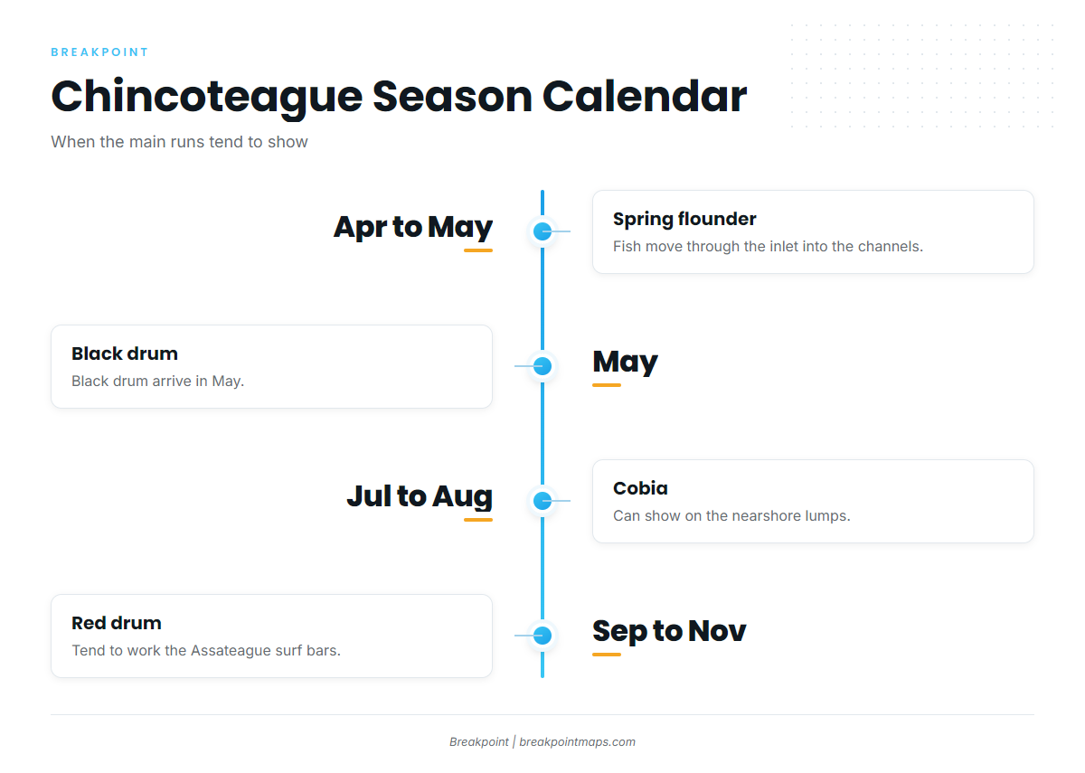
Chincoteague built its name on spring flounder. April and May are prime as fish move through the inlet into the channels. Black drum arrive in May. Tautog and striped bass round out the season.
Summer
Inside and nearshore, flounder hold in the deeper channels, and black sea bass, bluefish and croaker fill out the catch. Offshore, boats go for yellowfin tuna, bluefin tuna and mahi-mahi. Cobia can show on the nearshore lumps in July and August.
Autumn
Flounder and striped bass stay in the mix. Offshore, yellowfin in the Atlantic Northeast is the main target. Red drum tend to work the Assateague surf bars from September through November.