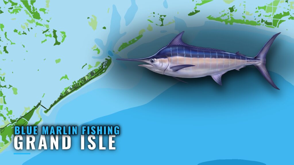
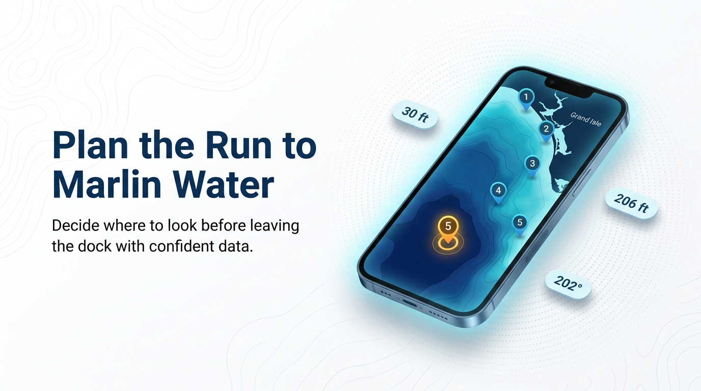
Blue marlin fishing out of Grand Isle means an offshore run. This guide gives the named structure, reference points, and timing you need to plan it, so you know where to look and what to check before you leave the dock.
When blue marlin are around Grand Isle
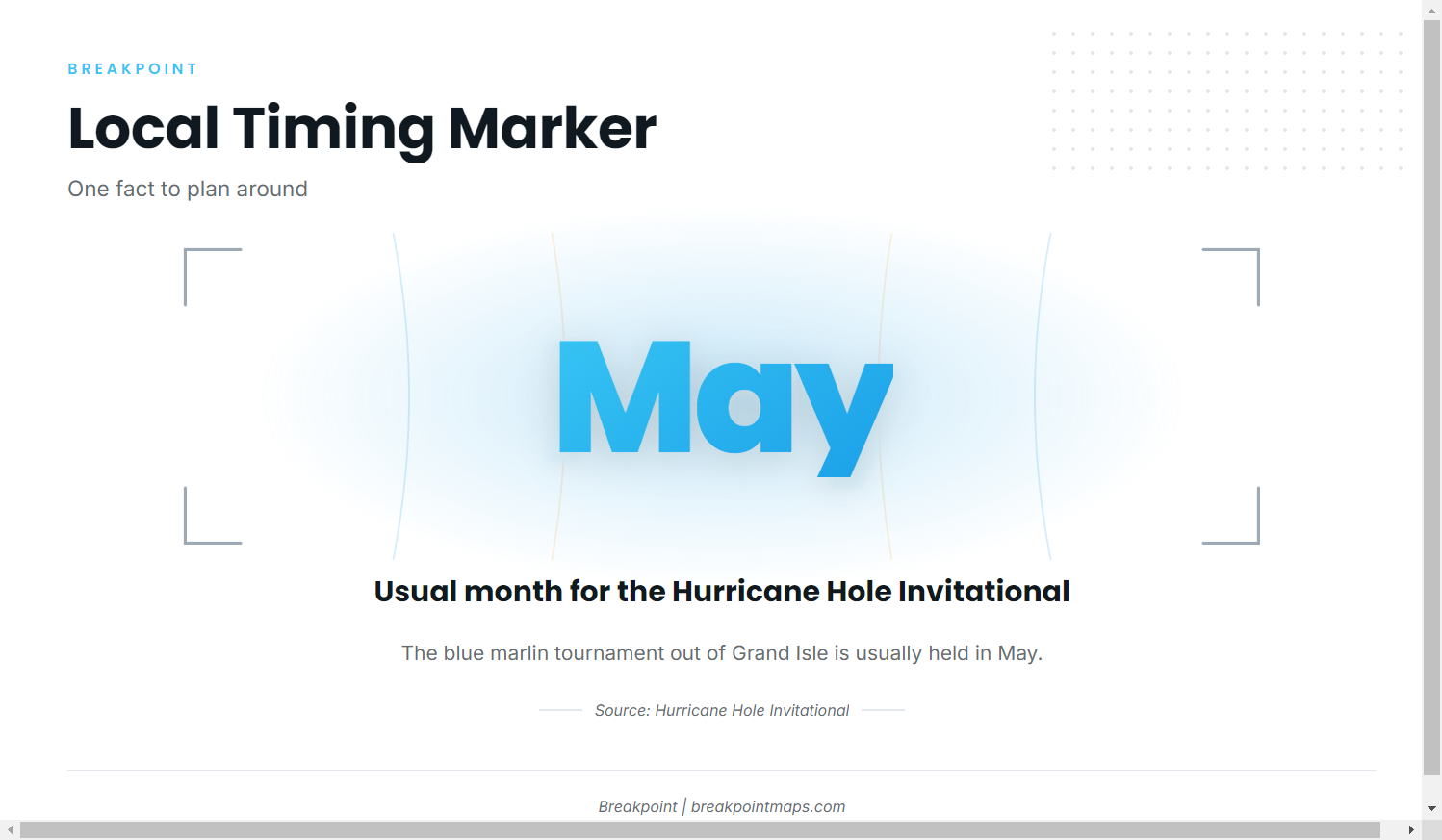
The local timing marker is the Hurricane Hole Invitational, the blue marlin tournament out of Grand Isle, usually held in May. The organizer’s Hurricane Hole tournament listings carry the current schedule.
Species-wide movement and seasonality are covered in our guide to general blue marlin behavior and season. Use it for the picture across the range, and this page for what is specific to the port.
Where boats run and the grounds off Grand Isle
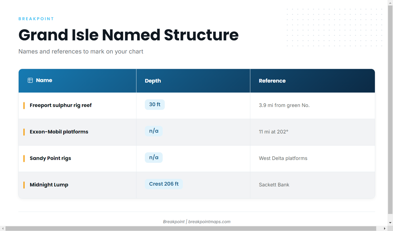
Boats run offshore for blue marlin. Barataria Pass and Caminada Pass are the two passes out to the Gulf, and the green No. 1 ATON is the reference for the platform bearing below. For the run beyond this port’s structure, see the wider Gulf blue marlin picture (see also the wider Gulf of Mexico guide).
| Name | Alternate name | Depth | Reference |
|---|---|---|---|
| Freeport sulphur rig reef | FLRA-27; Grand Isle 9 | 30 ft | About 3.9 miles from the green No. |
| Exxon-Mobil platforms southwest of Barataria Pass | not given | not given | About 11 miles at 202 degrees from the green No. 1 ATON |
| Sandy Point rigs (West Delta platforms) | not given | not given | not given |
| Caminada Pass jetties | not given | not given | not given |
| Midnight Lump | Sackett Bank | Crest about 206 ft | not given |
Mark these by name on your chart and confirm positions against official charts. Chart layers are not for navigation.
Freeport sulphur rig reef (FLRA-27)
The Freeport sulphur rig reef is FLRA-27, also called Grand Isle 9. It sits in 30 ft of water, about 3.9 miles from the green No. marker.
Exxon-Mobil platforms southwest of Barataria Pass
Start from the green No. 1 ATON and run about 11 miles at 202 degrees. The platforms there are L, BB, CC, 9M, 019, J, P, Q, R, S, T, U and W.
Sandy Point rigs
The Sandy Point rigs are the West Delta platforms. Look for four designations: Green Monster, MX-WD 23-3, MX-WD 24-4 and MX-WD 23-FLARE No. 3.
Caminada Pass jetties
The Caminada Pass jetties are a local landmark at the western pass.
Midnight Lump (Sackett Bank)
Midnight Lump, also called Sackett Bank, is the deep-crest feature on this list. Its crest is about 206 ft.
How marlin are fished out of Grand Isle
Local methods are named on our Grand Isle port guide. A 2008 column on the Lump lists marlin among the fish taken there.
Who fishes for them and reading conditions
Tournament crews and private boats
Tournament crews fish the Hurricane Hole Invitational out of Grand Isle, and private owner-operators run the same offshore water. Crews targeting other billfish species have separate guides.
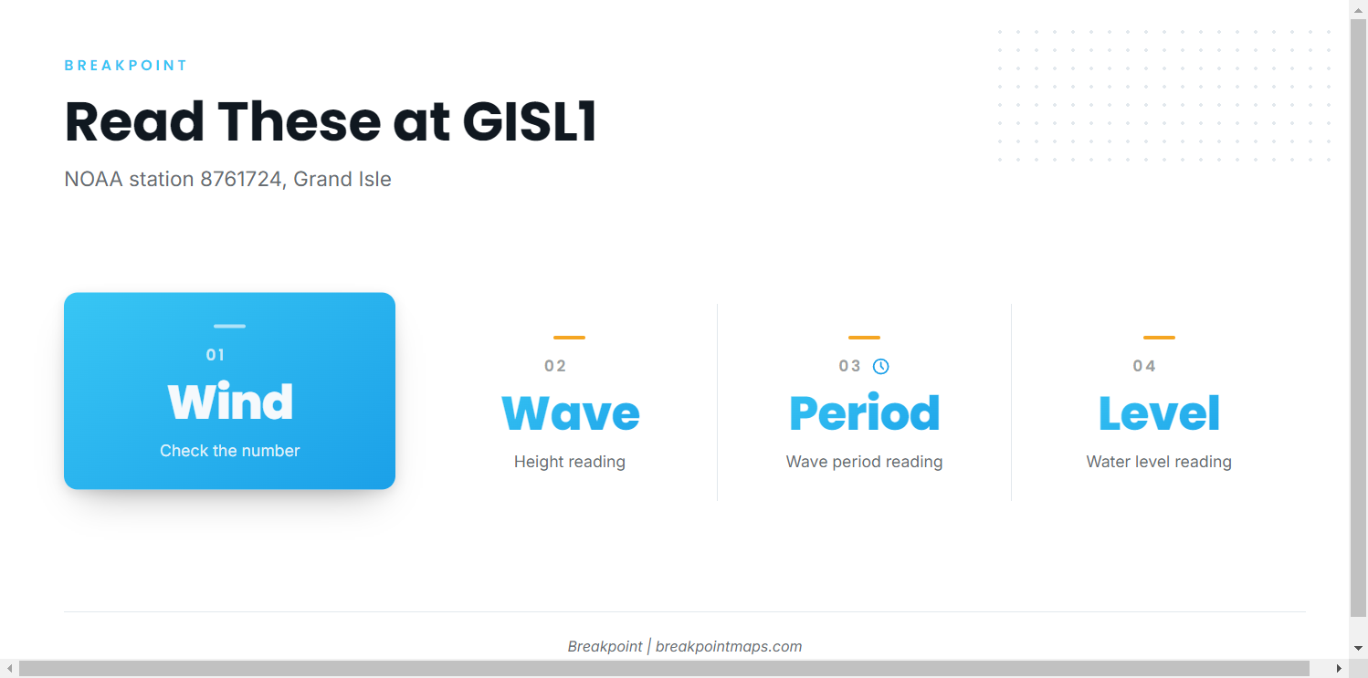
NOAA station GISL1
NOAA station GISL1 readings come from station 8761724 at Grand Isle, LA, at 29.265 N, 89.958 W. Read its wind, wave height, period and water level. GISL1 is a coastal station and does not report conditions at the offshore grounds, so check the official marine forecast for the run.
FAQ: blue marlin fishing out of Grand Isle
When is the Hurricane Hole Invitational?
Usually May. It is the blue marlin tournament out of Grand Isle.
How deep is the Midnight Lump?
The crest is about 206 ft. The Lump is also called Sackett Bank.
How do you find the Exxon-Mobil platforms off Barataria Pass?
They lie about 11 miles at 202 degrees from the green No. 1 ATON.
What is Grand Isle 9?
It is the Freeport sulphur rig reef, FLRA-27, in 30 ft of water.
Which NOAA station covers Grand Isle?
GISL1, station 8761724, at 29.265 N, 89.958 W. It is a coastal station, so check the marine forecast for offshore conditions.