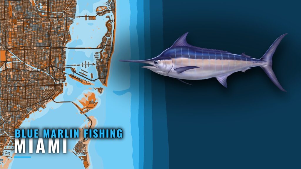
Blue marlin fishing out of Miami happens in the Gulf Stream
Blue marlin fishing out of Miami happens in the Gulf Stream, which runs closer to the beach here than at most East Coast ports. Blue marlin are among the Gulf Stream species listed off Miami, and they turn up on the offshore trolling trips that work the Stream from this port. For how the fish move through the year across the range, see blue marlin in the Atlantic Southeast (see also the Atlantic Southeast fishing guide).
Ramps, marinas and inlet notes are on the Miami port page.
Getting out
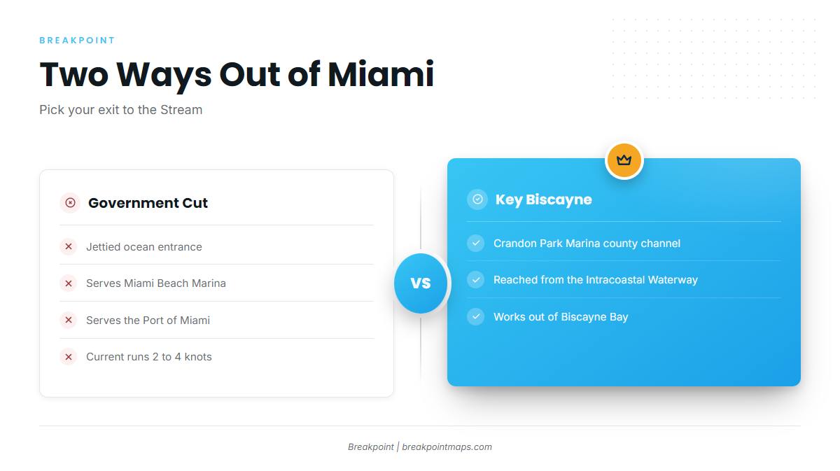
Two exits serve the port, and both lead to the same water.
- Government Cut: the jettied ocean entrance for Miami Beach Marina and the Port of Miami.
- Key Biscayne: boats work out of Biscayne Bay through the Crandon Park Marina county channel, reached from the Intracoastal Waterway.
Tidal current between the Government Cut jetties runs about 2 to 4 knots, per the NOAA Coast Pilot 4 guidance.
Reading conditions
The NWS Miami Coastal Waters Forecast covers Jupiter Inlet to Ocean Reef. It gives wind, seas and period, plus the position of the Gulf Stream west wall. Because the wall moves, the forecast publishes its position, so compare the forecast with what you see on the water.
Grounds and structure off Miami
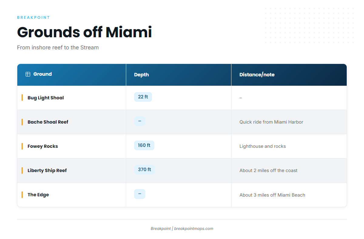
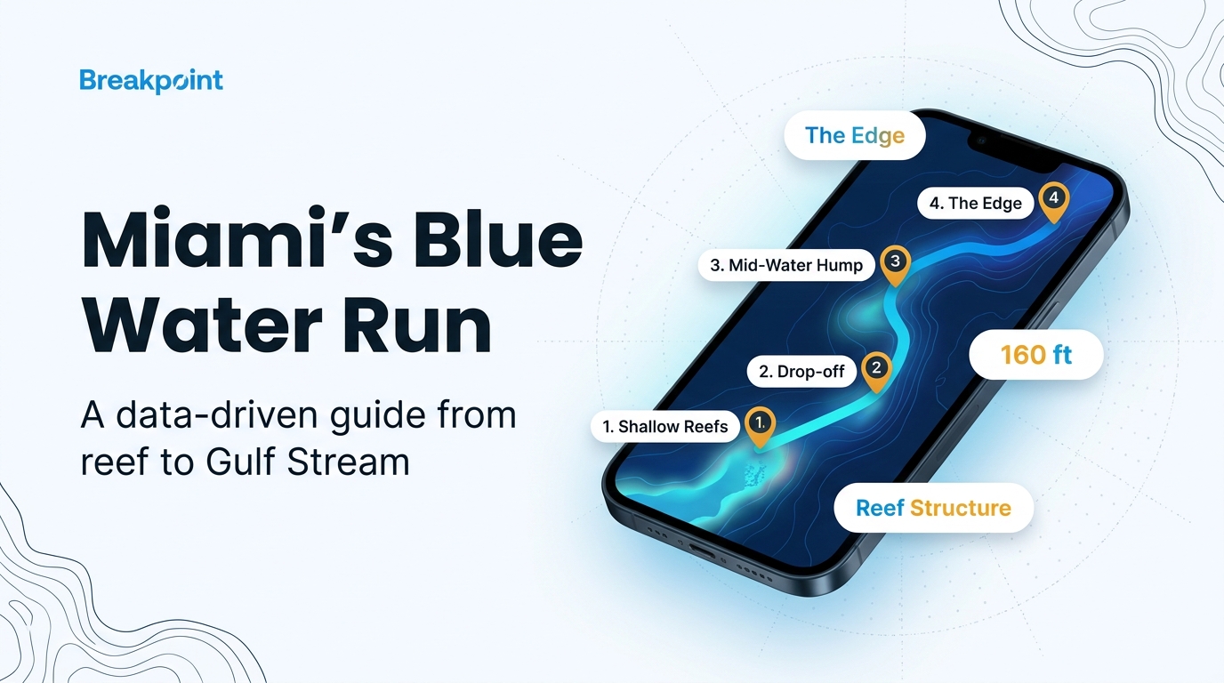
The run east crosses shallow reef markers, then deeper structure, then The Edge and the Stream. These are landmarks and structure along the way, not marked marlin spots. The Miami-Dade artificial reef charts are the county’s official source for the reef sites.
| Ground | Depth | Distance/note |
|---|---|---|
| Bug Light Shoal artificial reef | 22 ft | – |
| Bache Shoal Reef | – | Quick boat ride from Miami Harbor |
| Star Trek Reef | – | – |
| Fowey Rocks | 160 ft | Lighthouse and rocks; sailfish grounds |
| O.L. Bodenhamer Wreck / Liberty Ship Reef | 370 ft | About 2 miles off the coast |
| The Edge | – | About 3 miles from the coastline, off Miami Beach |
Inshore markers
Bug Light Shoal artificial reef sits in about 22 ft of water. Bache Shoal Reef is a quick boat ride from Miami Harbor, and Star Trek Reef is another named piece of structure on the inshore side of the run. All three serve as markers on the way out.
Fowey Rocks
Fowey Rocks sits in about 160 ft of water. The lighthouse and rocks make it an easy landmark, and it is known as sailfish grounds.
Liberty Ship Reef (O.L. Bodenhamer Wreck)
The O.L. Bodenhamer Wreck, also called Liberty Ship Reef, lies in about 370 ft of water, roughly 2 miles off the coast. Treat it as a deep waypoint on the run.
The Edge
The Edge lies about 3 miles from the coastline, just off Miami Beach. It marks where the run turns toward the Stream.
To see the drop from reef to Stream, plot these grounds against the Chart Contours layer. Chart layers are not for navigation, so run on official NOAA charts.
How it’s fished locally
Boats from this port fish for blue marlin by offshore trolling in the Gulf Stream. Spreads, baits and timing are in the blue marlin guide.
Who fishes for them from this port
Miami Sailfish Charters lists blue marlin. The boat is a 35 ft T Open Fisherman, the captain is Christian Sanchez, and it departs from the Key Biscayne side. See the Miami Sailfish Charters listing. If you run your own boat, you can use the same Key Biscayne exit described under Getting out.
FAQ about blue marlin fishing out of Miami
How far out is the Gulf Stream from Miami?
The Edge is about 3 miles off Miami Beach, and Liberty Ship Reef lies in 370 ft of water about 2 miles out. The Stream sits beyond them. The NWS Miami Coastal Waters Forecast gives the position of the Gulf Stream west wall.
What depth is Fowey Rocks?
Fowey Rocks sits in about 160 ft of water. It has a lighthouse and is known as sailfish grounds.
Where do boats leave from?
Boats leave through Government Cut on the Miami side. From Key Biscayne, boats run out of Biscayne Bay through the Crandon Park Marina county channel.
Is there a charter that lists blue marlin?
Yes. Miami Sailfish Charters lists blue marlin. The boat is a 35 ft T Open Fisherman, the captain is Christian Sanchez, and it departs from Key Biscayne.
What else do these trolling trips raise?
Sailfish come up on the same Stream trolling trips, and Fowey Rocks is known sailfish ground. For more on that fishery, see the billfish guides.