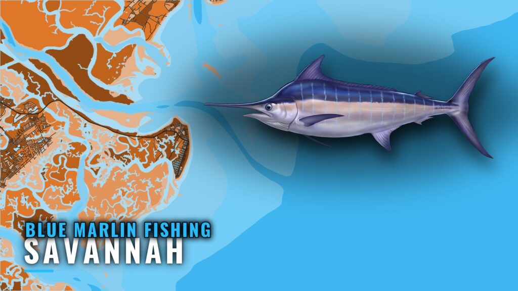
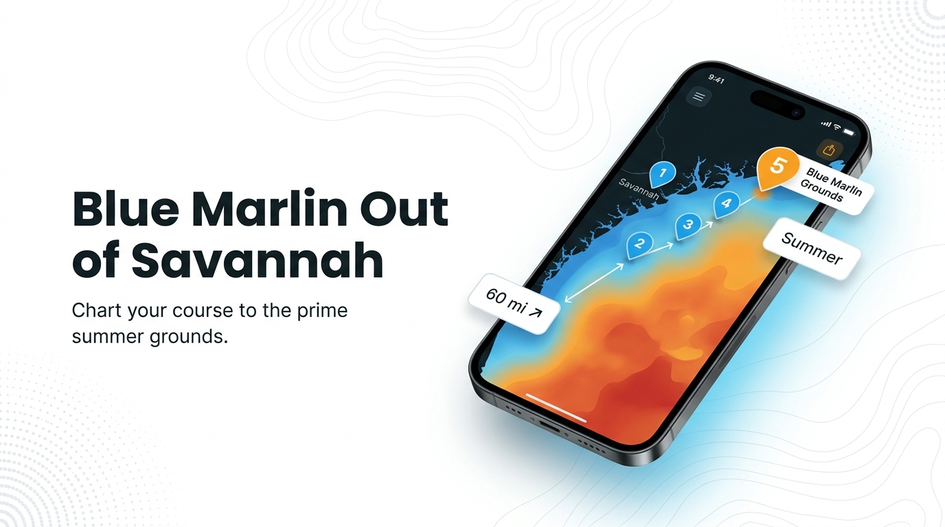
When blue marlin are off Savannah
Blue marlin fishing out of Savannah is a summer fishery. FishingBooker’s Savannah fishing guide puts the season in summer and names North Hole and the R-6 Tower as the grounds to run to. This page covers the local picture for anglers running their own boat from Savannah and Tybee Island: where boats go, how far, what they pass on the way out, and how they fish.
Departures come from the Savannah port page area, through the Savannah River entrance at Tybee Roads or through Wassaw Sound. For biology, read the blue marlin species guide. For the wider fishery up and down the coast, see blue marlin in the Atlantic Southeast (see also the Atlantic Southeast fishing guide).
Who runs for them
The summer run to North Hole and the R-6 Tower is made by owners of private offshore boats. Many fish the nearshore reefs and the Snapper Banks first, then move up to billfish. A charter isn’t required to fish these grounds, but the boat has to be set up for a long run, and the day needs a plan.
The run: how far and where boats go
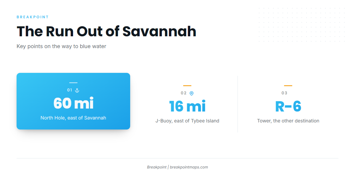
North Hole sits about 60 miles east of Savannah. It is the long run in this fishery, which is why boat and fuel planning matter. The R-6 Tower is the other named destination. Treat these and the J-Buoy as waypoints rather than a promise of fish.
- North Hole: about 60 miles east of Savannah
- R-6 Tower: the second offshore destination
- J-Buoy: 16 miles east of Tybee Island
Chart layers are not for navigation.
North Hole
North Hole is the main summer destination, about 60 miles east of Savannah. The distance shapes everything else about the trip, so plan the day around it.
R-6 Tower
The R-6 Tower is the second place Savannah boats run for marlin. It is a structure target, so the fishing is more focused than an open-water search.
J-Buoy
The J-Buoy sits 16 miles east of Tybee Island. We list it for its position only.
Grounds and structure between the beach and the blue water
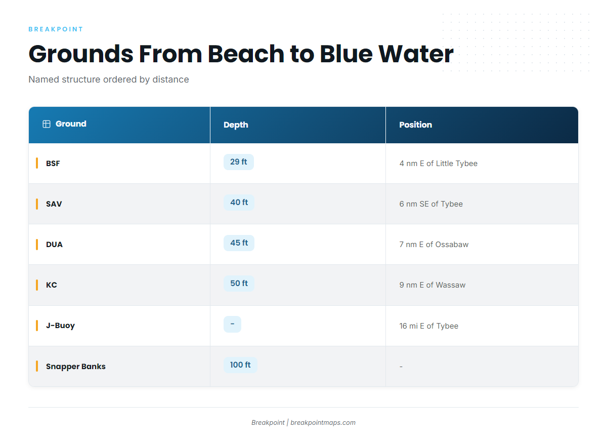
These are the named grounds you pass or fish on the way out, ordered by distance from shore. They are reference points on the route and not marlin spots. The four Georgia offshore artificial reefs near Savannah are the first markers past the beach.
| Ground | Type | Depth (ft) | Distance/position |
|---|---|---|---|
| BSF | Georgia offshore artificial reef | 29 | 4 nautical miles east of Little Tybee Island |
| SAV | Georgia offshore artificial reef | 40 | 6 nautical miles southeast of Tybee Island |
| DUA | Georgia offshore artificial reef | 45 | 7 nautical miles east of Ossabaw Island |
| KC | Georgia offshore artificial reef | 50 | 9 nautical miles east of Wassaw Island |
| J-Buoy | Named point | – | 16 miles east of Tybee Island |
| Savannah Snapper Banks | Bank | 100 | – |
| North Hole | Offshore ground | – | About 60 miles east of Savannah |
| R-6 Tower | Offshore structure | – | – |
Nearshore reefs
BSF sits in 29 ft, 4 nautical miles east of Little Tybee Island. SAV is in 40 ft, 6 nautical miles southeast of Tybee Island. DUA is in 45 ft, 7 nautical miles east of Ossabaw Island. KC is in 50 ft, 9 nautical miles east of Wassaw Island. Each is named for the island it lines up with, which makes them useful checkpoints on the way out.
Savannah Snapper Banks
The Savannah Snapper Banks are the deepest named structure in the progression, at 100 ft. They come before the far grounds.
North Hole and R-6 Tower
The progression ends at the marlin destinations. North Hole is about 60 miles east of Savannah, and the R-6 Tower is the other named stop.
How blue marlin are fished out of Savannah
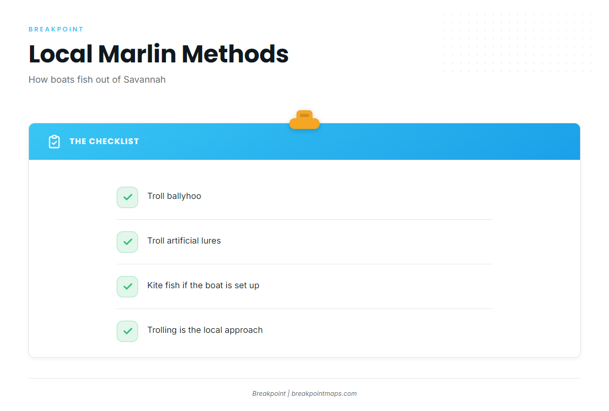
Trolling is the local approach, with ballyhoo or artificial lures. Kite fishing is an option. For technique beyond that, use our billfish fishing guides.
- Ballyhoo: a local trolling bait
- Artificial lures: the other local trolling choice
- Kite fishing: an option when the boat is set up for it
Trolling ballyhoo
Ballyhoo is a standard trolling bait for marlin out of Savannah, trolled behind the boat on the way across the grounds.
Artificial lures
Artificial lures are the other trolling option here. Many boats carry both and choose on the day.
Kite fishing
Kite fishing is an option here when the boat is set up for it.
FAQ about blue marlin fishing out of Savannah
When is blue marlin season out of Savannah?
Blue marlin fishing out of Savannah is a summer fishery. We give no month range.
How far is North Hole from Savannah?
North Hole is about 60 miles east of Savannah.
Where else do Savannah boats run for blue marlin?
The R-6 Tower is the other named destination.
What do Savannah anglers troll for blue marlin?
Local boats troll ballyhoo or artificial lures.
Do people kite fish for blue marlin here?
Kite fishing is an option when the boat is set up for it.
What should I check before the run, and where are the regulations?
Check the official marine forecast for wind, wave height and period before a run of about 60 miles. The state and federal pages in the Regulations section carry the rules.