
About Savannah
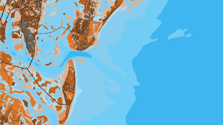
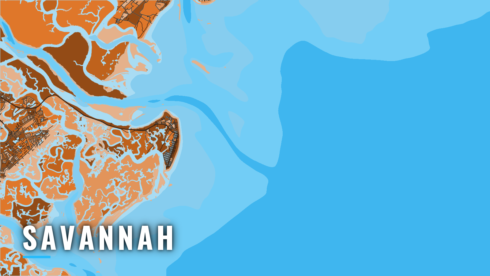
Offshore boats out of Savannah, GA reach the Atlantic through the dredged Savannah River channel at Tybee Roads. Wassaw Sound, reached from the Wilmington River side, is the other route. Tybee Island and Lazaretto Creek sit near the river mouth, while Thunderbolt and Isle of Hope are inland on the Wilmington River and the Intracoastal Waterway.
Bottom fishing on the reefs runs year-round. Cobia arrive in spring, king mackerel and billfish define summer, and autumn brings red snapper windows, tunas and wahoo. Georgia’s rules, license and SIP permit are on our Georgia page.
Access and navigation
Ramps near the river mouth and marinas on Lazaretto Creek put you closest to the inlet. The inland launches sit on the Wilmington River and the ICW.
- Lazaretto Creek Boat Ramp and Fishing Pier – public ramp and pier near the river mouth on the Tybee side
- Thunderbolt Boat Ramp – public ramp on the Wilmington River, inland
- Rodney J. Hall (Butterbean Beach) Boat Ramp – public ramp on the ICW side
- Turner Creek Boat Ramp – public ramp inland, toward Wassaw Sound
- Tybee Island Marina – on Lazaretto Creek, fuel listed
- Isle of Hope Marina – fuel listed
- Thunderbolt Marine – fuel listed
The entrance and the alternate
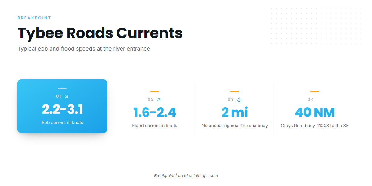
The NOAA Coast Pilot 4 Chapter 7 gives the ebb from the entrance jetties to Savannah at 2.2 to 3.1 kn and the flood at 1.6 to 2.4 kn. Winds and freshets considerably influence the current. Near Tybee Light the flood sets northwest across the channel. Strong cross currents on the outer reaches can follow heavy rain upriver or releases at New Savannah Bluff Lock and Dam.
When an ebb runs out against an onshore wind, the seas tend to stack up on the bar. The opposing current can shorten and steepen the waves, and the effect may be worst near the jetty ends.
The north jetty is unmarked and awash at mean high water. The south jetty is submerged at mean high water and lit at its east end. Both can sit just under the surface where you expect open water. This is a dredged deep-draft channel with heavy ship traffic, so give ships room. The Coast Pilot recommends no anchoring within 2 miles of the Tybee virtual sea buoy.
Wassaw Sound is the alternate approach, reached from the Wilmington River side, and it suits the Thunderbolt, Isle of Hope and Turner Creek launches. It can offer a different sea state when the river entrance is working against the wind.
Look at the water on arrival and check the NWS marine forecast from the Charleston office for the coastal zones. If the entrance looks bigger than you want, switch approaches. For offshore reference, NDBC station 41008 at Grays Reef sits 40 NM southeast of Savannah. It is a single point 40 NM out, so treat its readings as one data point alongside the forecast.
Fishing conditions
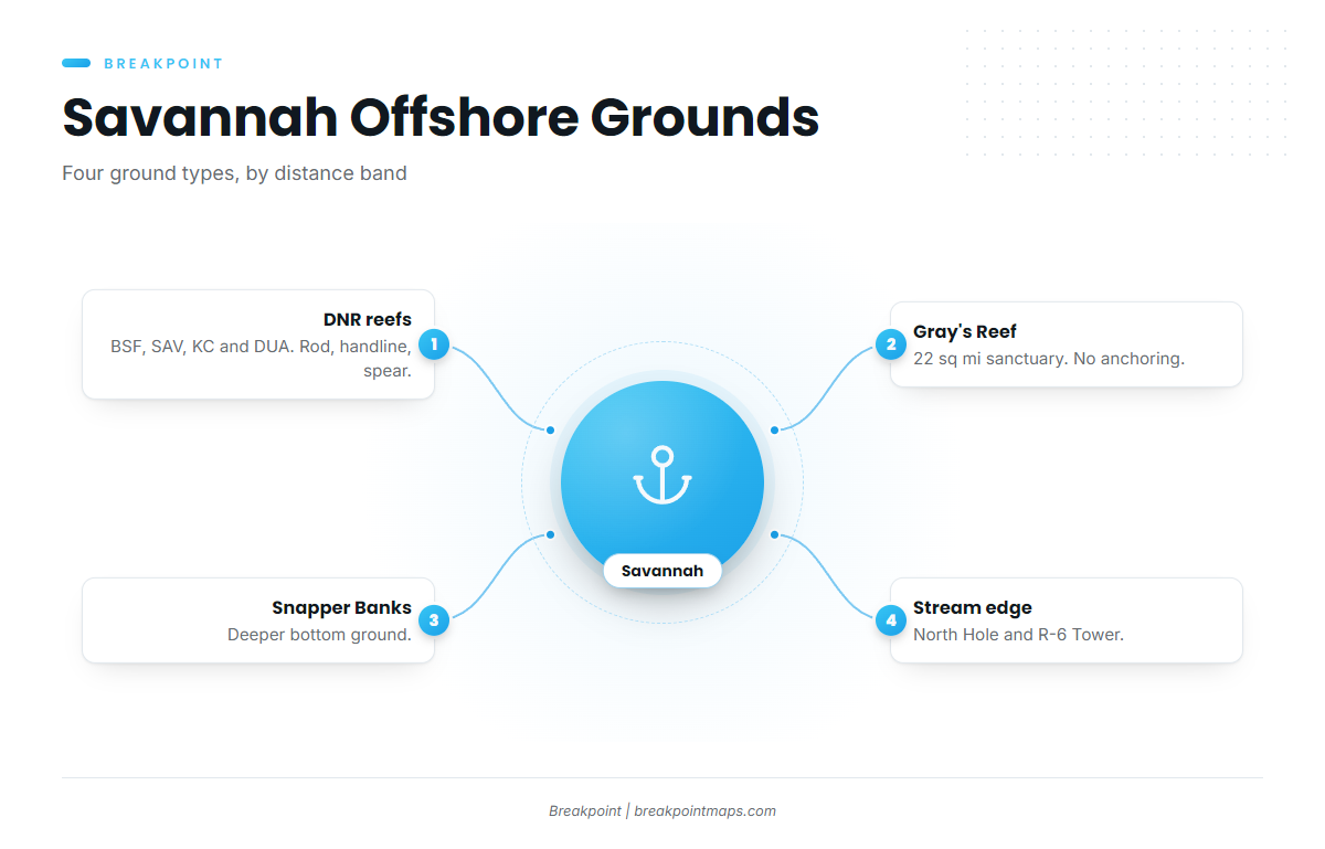
Savannah offshore fishing is a ladder of grounds, from nearshore reefs to the Stream edge, and the season decides which rung pays. For the wider picture, see our notes on fishing the Atlantic Southeast.
- Georgia DNR artificial reefs. BSF (29 ft), SAV, KC and DUA are named reef sites. Reefs beyond 3 miles are federal special management zones, limited to rod and reel, handline and spearfishing gear. Coordinates are on the Georgia DNR offshore reef locations page.
- Gray’s Reef National Marine Sanctuary. It lies about 19 miles off Sapelo Island and covers 22 sq mi. Only rod and reel and handline are allowed, and anchoring is prohibited, so plan to drift or hold position. Fishing is prohibited in the 8 sq mi research area, though you may transit without stopping. See the Gray’s Reef sanctuary regulations.
- Savannah Snapper Banks. A named bottom-fishing bank.
- Stream-edge features. North Hole and R-6 Tower are the named spots. Towers and structure can hold greater amberjack.
Georgia also has a snapper-grouper marine protected area in federal waters. You may carry snapper-grouper through it only with gear stowed, as set out in the federal Georgia MPA rule.
OBS SST and Chlorophyll in the app show where the Stream edge sits before you commit fuel. Chart layers are not for navigation.
Winter
Black sea bass hold on the DNR reefs, and Georgia’s state season is open all year. Sheepshead work nearshore structure. Wahoo can show on the Stream edge, and our notes on how wahoo behave along this coast cover the pattern. Check Georgia DNR before you fish.
Spring
Cobia is the spring target around the nearshore reefs and structure. Georgia’s state cobia season opens March 1, according to the Georgia saltwater seasons and limits. Mahi-mahi may start to show late in the season, and the mahi-mahi fishing guide covers how to read them.
Summer
King mackerel work the reefs. Billfish (sailfish, white marlin, blue marlin) are the Stream-edge targets, and the sailfish fishing guide covers them. Billfish landed in Georgia follow federal rules, so check NOAA Fisheries before you fish. For regional mahi, see mahi-mahi off the Atlantic Southeast.
Autumn
Red snapper in federal waters follows the federal season, which is set by quota. Check Georgia DNR and NOAA Fisheries for the current window. Tunas appear, including blackfin, yellowfin and bluefin, and the blackfin tuna fishing guide shows where to look. Wahoo appear too, covered in the wahoo fishing guide. The sailfish pattern along this coast is worth reading before a run.