Mahi-mahi fishing out of Cortez starts at Longboat Pass and runs offshore past a line of named reefs and one ledge. Boats leave Sarasota Bay, clear the pass between Longboat Key and Anna Maria Island, and point west. Every bearing on this page is measured from Longboat Pass or Anna Maria Island. Below you’ll find depth, distance and bearing for 8 named grounds, plus where to check conditions before you leave the dock.
Mahi-mahi out of Cortez at a glance
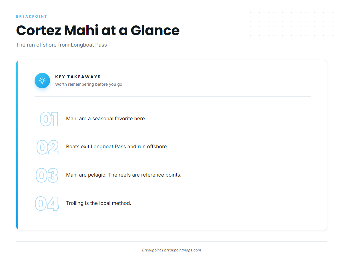
Mahi-mahi fishing out of Cortez involves one pass, a chain of reefs, one method, and a conditions check.
When they’re around
Mahi are a seasonal favorite here. For the wider season picture, see the Gulf of Mexico mahi guide (see also the Gulf of Mexico fishing guide).
Where boats run
Boats exit Longboat Pass and run offshore. Mahi are pelagic, so the named reefs, in 16 to 46 ft, serve as reference points along the run rather than as mahi water. The Cortez port guide covers launch and pass details.
Who fishes them
Most of the effort comes from private boats running offshore from this port, and they troll for mahi.
- Home port: Cortez, on Sarasota Bay
- Way out: Longboat Pass
- Method: trolling
- Vessel: your own boat
Named grounds near Longboat Pass
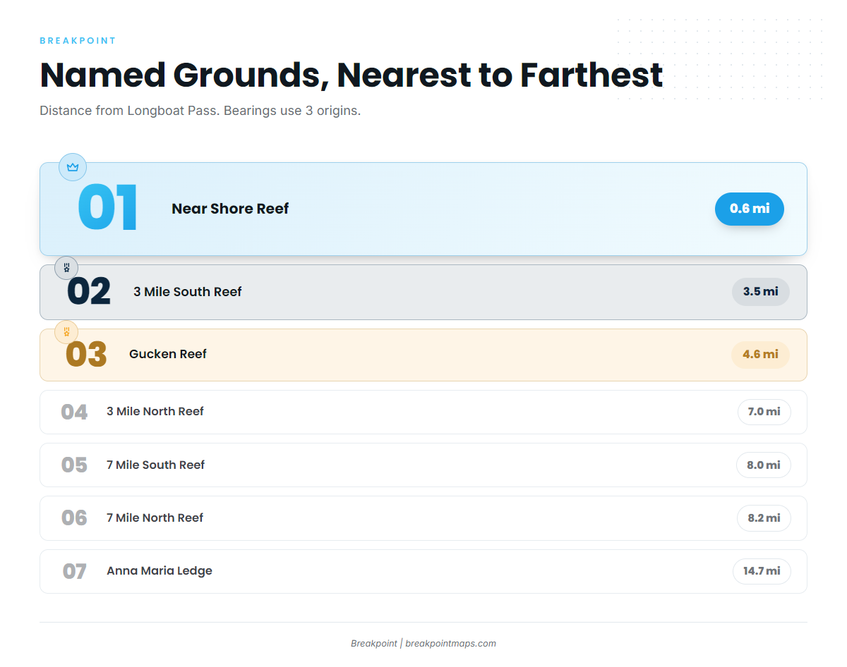
These reef and ledge structures are listed nearest to farthest. They are reference points for the run and are not guaranteed to hold mahi.
| Ground | Depth (ft) | Distance | Bearing | From |
|---|---|---|---|---|
| Near Shore Reef | 16 | 0.6 miles | 321° | Longboat Pass |
| 3 Mile South Reef | 30 | 3.5 miles | 270° | Longboat Pass |
| 1 Mile Reef | 25 | 4.3 nm | 320° | Longboat Pass entrance |
| Gucken Reef | 33 | 4.6 miles | 250° | Tip of Anna Maria Island |
| 3 Mile North Reef | 28 | 7.0 miles | 305° | Longboat Pass |
| 7 Mile South Reef | 40 | 8.0 miles | 270° | Longboat Pass |
| 7 Mile North Reef | 40 | 8.2 miles | 270° | NW tip of Anna Maria Island |
| Anna Maria Ledge | 46 | 14.7 miles | 290° | Longboat Pass |
Swipe the table sideways to see every column.
Depth runs from 16 ft at Near Shore Reef to 46 ft at Anna Maria Ledge. The table uses three different origins, so check the From column before plotting anything. Reef positions can be cross-checked against the official artificial reef listings.
Inside 5 miles
Near Shore, 3 Mile South, 1 Mile and Gucken all sit inside 5 miles, but the names don’t match the distances. 1 Mile Reef is 4.3 nm out, and 3 Mile South is 3.5 miles out. If you’re new to this water, go by the table and not the names.
7 to 8 miles out
3 Mile North Reef breaks the naming pattern at 7.0 miles, 305° from Longboat Pass. The two 7 Mile reefs follow: 7 Mile South is 8.0 miles at 270° from Longboat Pass, and 7 Mile North is 8.2 miles at 270° from the NW tip of Anna Maria Island. Both sit in 40 ft, though their origins differ.
Anna Maria Ledge
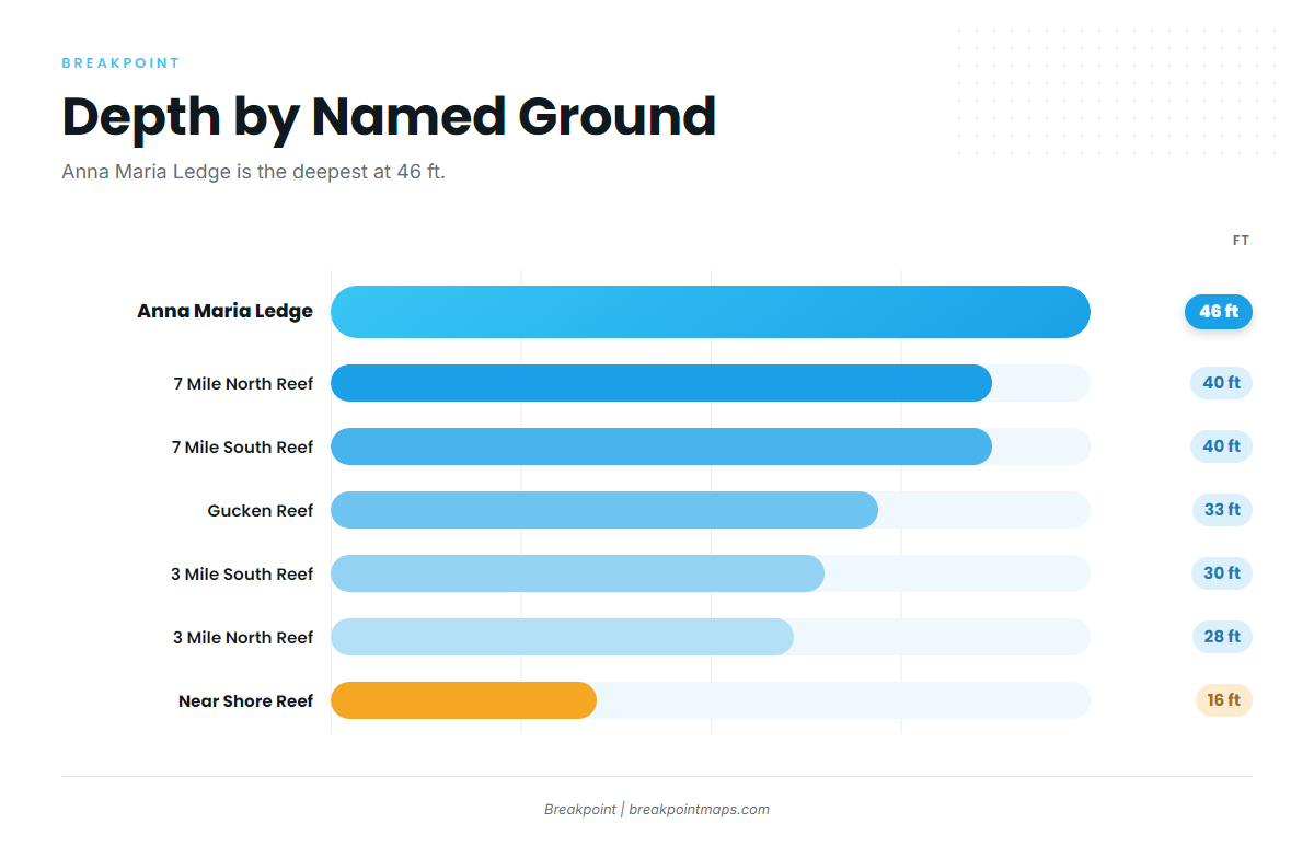
Anna Maria Ledge is the deepest named structure here, at 46 ft and 14.7 miles out on a bearing of 290° from Longboat Pass. It is the outermost named reference point on the run. The Chart Contours layer shows the depth change around these grounds. Chart layers are not for navigation.
How mahi are fished from Cortez
Trolling is the local method, and the grounds work as waypoints on the way out.
Trolling is the method
You troll for mahi out of Cortez. For tackle and rigging, use the mahi-mahi fishing guide.
Using the grounds on the run offshore
Treat the table as a chain of waypoints. Each reef marks your progress and your depth on the way out.
- Leave Longboat Pass and set your first heading from the table.
- Log depth as you pass each ground and compare it to the table value.
- Keep the origin straight. Gucken and 7 Mile North use Anna Maria Island, not the pass.
- Plan the last leg to Anna Maria Ledge, 14.7 miles at 290°.
Reading conditions before the run
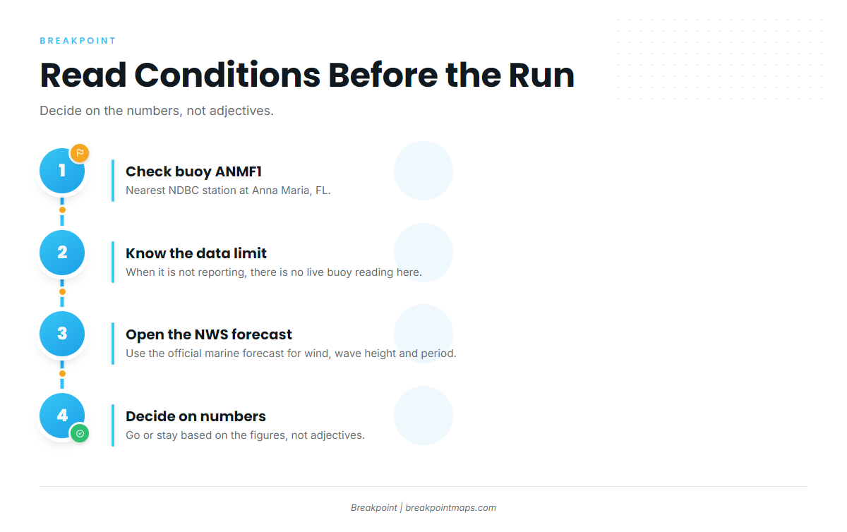
The nearest NOAA station is NDBC station ANMF1 (Anna Maria, FL, 27.538N 82.739W), but its page showed no recent data. When it isn’t reporting, there is no live buoy reading for this area.
Use the NWS Tampa Bay coastal forecast for wind, wave height and period, and base your decision on those numbers.
- Wind: speed and direction from the forecast
- Wave height: in feet
- Period: in seconds
- Buoy status: whether ANMF1 is reporting
FAQ: mahi-mahi fishing out of Cortez
When is mahi season off Cortez?
Mahi are a seasonal favorite here. For the broader season picture, use the Gulf of Mexico mahi guide linked above.
How far do boats run?
Boats run offshore from Longboat Pass. The farthest named structure, Anna Maria Ledge, sits 14.7 miles out at 290°.
What is the deepest named structure nearby?
Anna Maria Ledge, in 46 ft, 14.7 miles at 290° from Longboat Pass.
How is it fished?
Trolling.
Is there a buoy?
NDBC ANMF1 is the nearest station. When it isn’t reporting, use the NWS marine forecast for wind, wave height and period.
What else is there to target?
The coastal and offshore gamefish guides cover the other offshore targets.