When kings are off Cortez
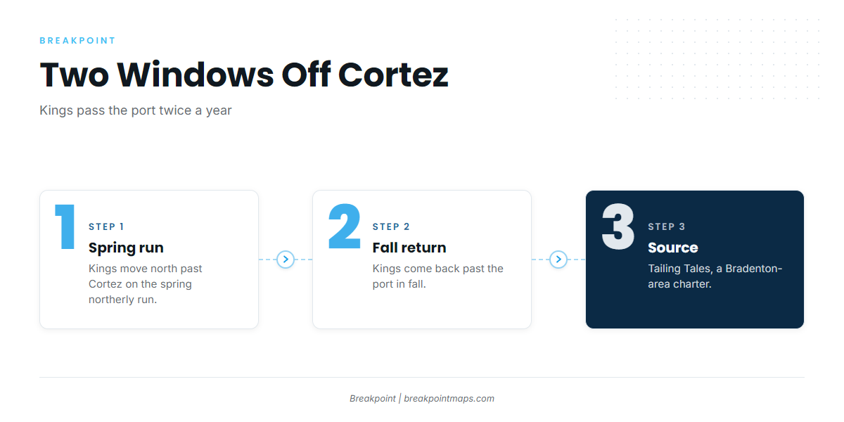
Kings pass Cortez twice a year, on a spring northerly run and a fall return, according to Tailing Tales, a Bradenton-area charter. For how kingfish move through the eastern Gulf as a whole, see the Gulf-wide migration (see also the Gulf of Mexico region guide) guide.
Spring northerly run
Kings move north past Cortez in spring, per Tailing Tales.
Fall return
Kings come back past the port in fall, per the same charter.
How far boats run and the grounds that hold kings
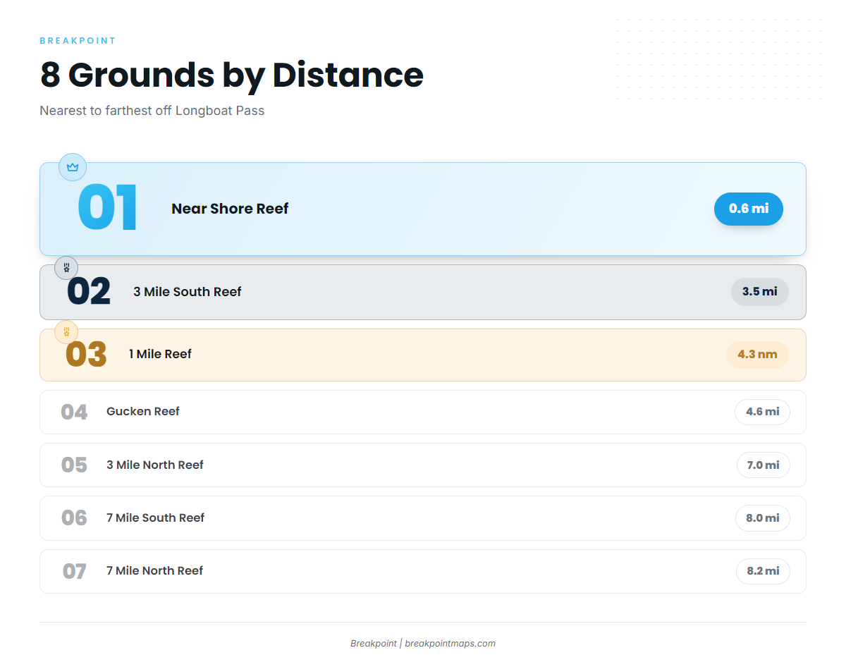
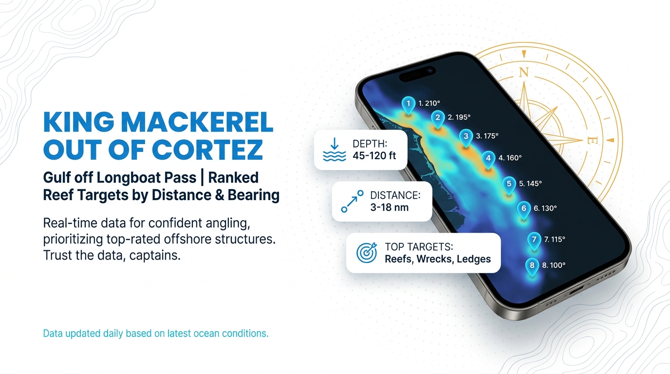
Boats run out through Longboat Pass, the gap between Longboat Key and Anna Maria Island, to eight named grounds between 0.6 and 14.7 miles out, in 16 to 46 ft of water. The figures below let you plot king mackerel fishing out of Cortez. Most bearings are taken from Longboat Pass. 1 Mile Reef is measured from the pass entrance, and two grounds use Anna Maria Island instead: 7 Mile North Reef from the NW tip, and Gucken Reef from the tip.
All eight are artificial reefs or ledge structure in Manatee County waters, listed here from closest to farthest.
| Ground | Depth (ft) | Distance | Bearing | From |
|---|---|---|---|---|
| Near Shore Reef | 16 | 0.6 mi | 321° | Longboat Pass |
| 3 Mile South Reef | 30 | 3.5 mi | 270° | Longboat Pass |
| 1 Mile Reef | 25 | 4.3 nm | 320° | Longboat Pass entrance |
| Gucken Reef | 33 | 4.6 mi | 250° | Tip of Anna Maria Island |
| 3 Mile North Reef | 28 | 7.0 mi | 305° | Longboat Pass |
| 7 Mile South Reef | 40 | 8.0 mi | 270° | Longboat Pass |
| 7 Mile North Reef | 40 | 8.2 mi | 270° | NW tip of Anna Maria Island |
| Anna Maria Ledge | 46 | 14.7 mi | 290° | Longboat Pass |
Swipe the table sideways to see every column.
You can view these grounds against Chart Contours in the Breakpoint map. Chart layers are not for navigation.
Inside 5 miles
Four grounds sit inside 5 miles: Near Shore Reef (16 ft, 0.6 mi at 321°), 3 Mile South Reef (30 ft, 3.5 mi at 270°), 1 Mile Reef (25 ft, 4.3 nm at 320°) and Gucken Reef (33 ft, 4.6 mi at 250° from the tip of Anna Maria Island). Despite its name, 1 Mile Reef sits 4.3 nm out.
7 to 8 miles
Three grounds fall in this band: 3 Mile North Reef (28 ft, 7.0 mi at 305°), 7 Mile South Reef (40 ft, 8.0 mi at 270°) and 7 Mile North Reef (40 ft, 8.2 mi at 270°). Both 7 Mile reefs share a depth and a bearing but are measured from different reference points, so check which one you are entering.
Anna Maria Ledge
Anna Maria Ledge is the farthest listed ground: 46 ft, 14.7 mi at 290° from Longboat Pass.
How kings are fished from Cortez
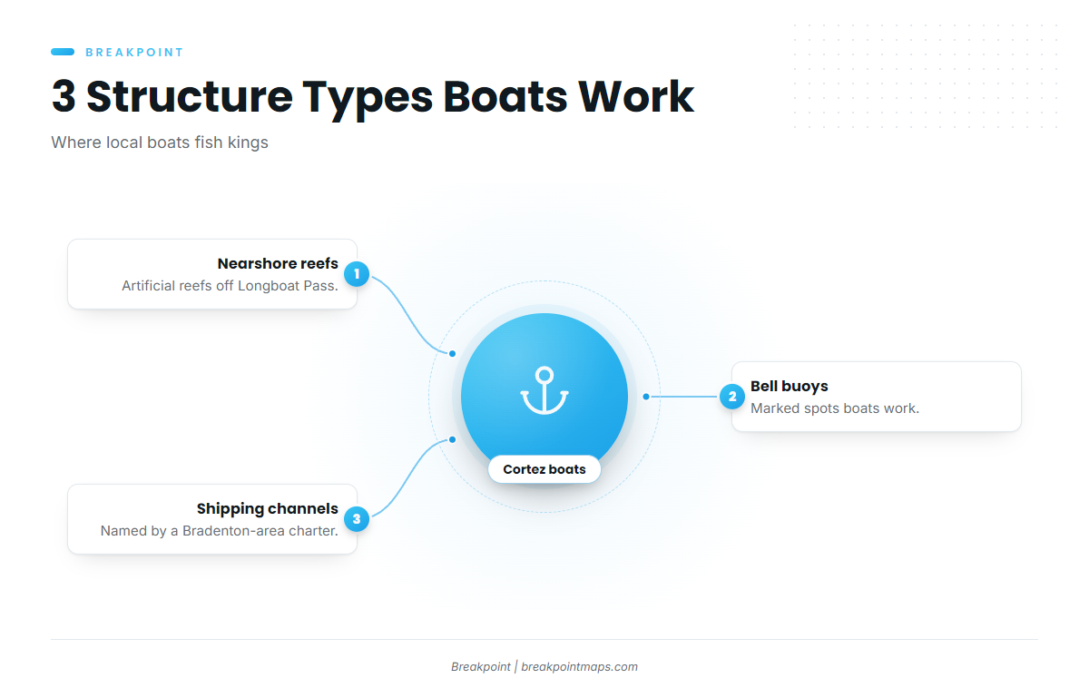
Local boats work three kinds of structure, according to the Bradenton-area charter: nearshore reefs, bell buoys and shipping channels. For rigs, baits and technique, use the king mackerel guide.
Nearshore reefs
The reefs in the table are the nearshore structure, running from 16 to 46 ft deep and from 0.6 to 14.7 mi out.
Bell buoys and shipping channels
The same charter names bell buoys and shipping channels as places boats work for kings.
Who fishes for kings out of Cortez
Owner-operators run through Longboat Pass to the grounds listed above. On the charter side, Cortez Deep Sea Fishing runs the Eddy Lee Z, a 62 ft US Coast Guard inspected vessel that lists king mackerel among its catches. The season and structure notes on this page come from Tailing Tales. For other species from this coast, see the coastal and offshore gamefish guides.
FAQ about king mackerel fishing out of Cortez
When do kings show up off Cortez?
Kings come through on a spring northerly run and a fall return, per Tailing Tales. Those are the windows for king mackerel fishing out of Cortez.
What is the closest reef that holds kings?
Near Shore Reef is the closest of the listed grounds: 16 ft, 0.6 miles at 321° from Longboat Pass. That figure is distance only and says nothing about whether fish are there on a given day.
How far is Anna Maria Ledge from Longboat Pass?
Anna Maria Ledge is 14.7 miles at 290° from Longboat Pass, in 46 ft.
Where do I check conditions near Anna Maria?
ANMF1 at Anna Maria (27.538N 82.739W) is the nearest NDBC station. Check its page for recent readings, since a station can go without data, and use the official forecast before you run. The Cortez port page lists conditions sources.
Can I book a king trip from Cortez?
Cortez Deep Sea Fishing runs the Eddy Lee Z, a 62 ft US Coast Guard inspected vessel, and lists king mackerel among its catches.