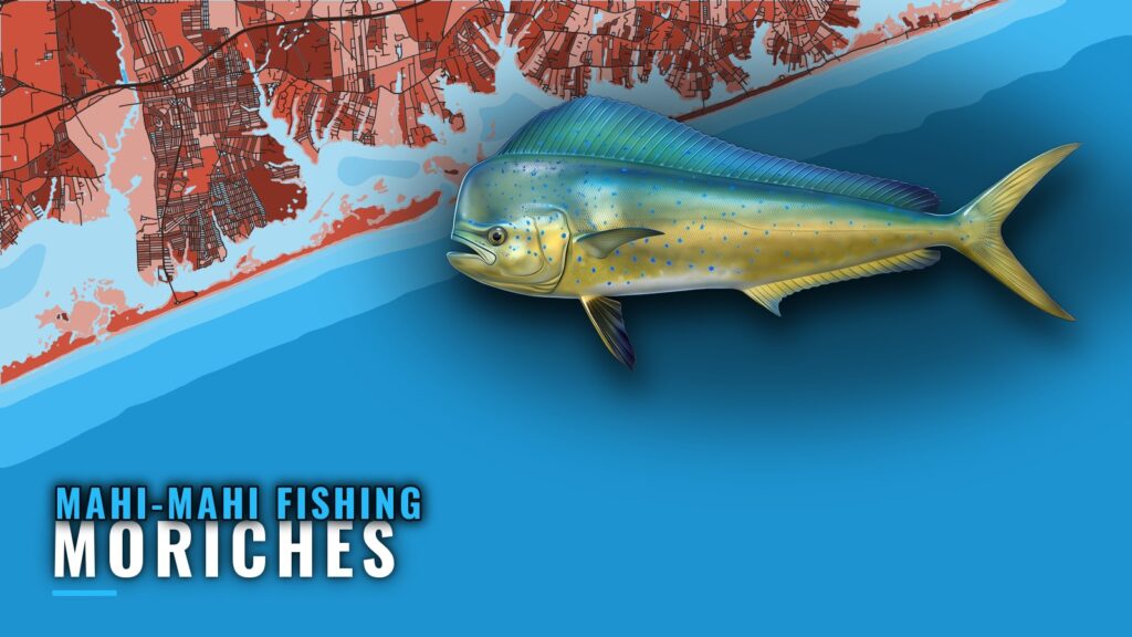
Late summer: when mahi are off Moriches
Mahi-mahi fishing out of Moriches is a late-summer fishery. Boats leave Center Moriches and run offshore to deeper blue water. Mahi-mahi, also called dolphinfish, are warm-water visitors that arrive in the back half of summer, and finding them means going offshore.
The Atlantic Northeast mahi guide (see also the Atlantic Northeast region guide) covers regional timing. This page covers one port: the route, the named structure from bay to wreck, and the port-specific rules.
| Item | What to know |
|---|---|
| Season | Late summer |
| Departure | Center Moriches |
| Where boats run | Deeper blue water offshore |
| First offshore waypoint | Moriches Reef |
The run from Center Moriches to blue water
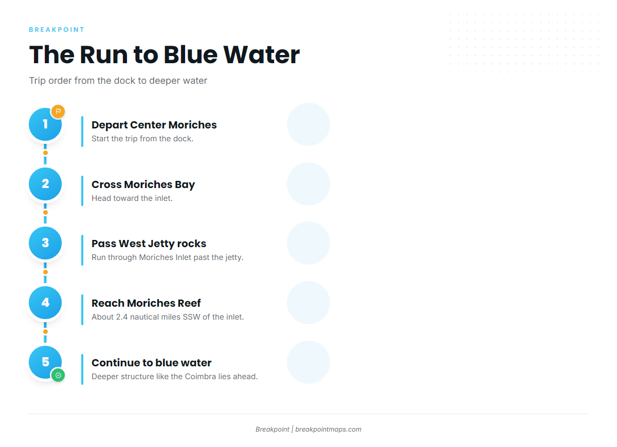
The route has four steps:
- Depart Center Moriches.
- Cross Moriches Bay.
- Pass through Moriches Inlet and past the West Jetty rocks.
- Continue offshore to deeper blue water.
Moriches Reef is the first waypoint outside the inlet, about 2.4 nautical miles south-southwest. The Coimbra, an oil tanker wreck in 180 ft, marks the deeper end of the named structure.
Before you run the inlet, check the NWS coastal waters forecast for wind in knots, wave height in feet and period in seconds. Read the numbers against your own boat and crew.
Grounds and structure near Moriches
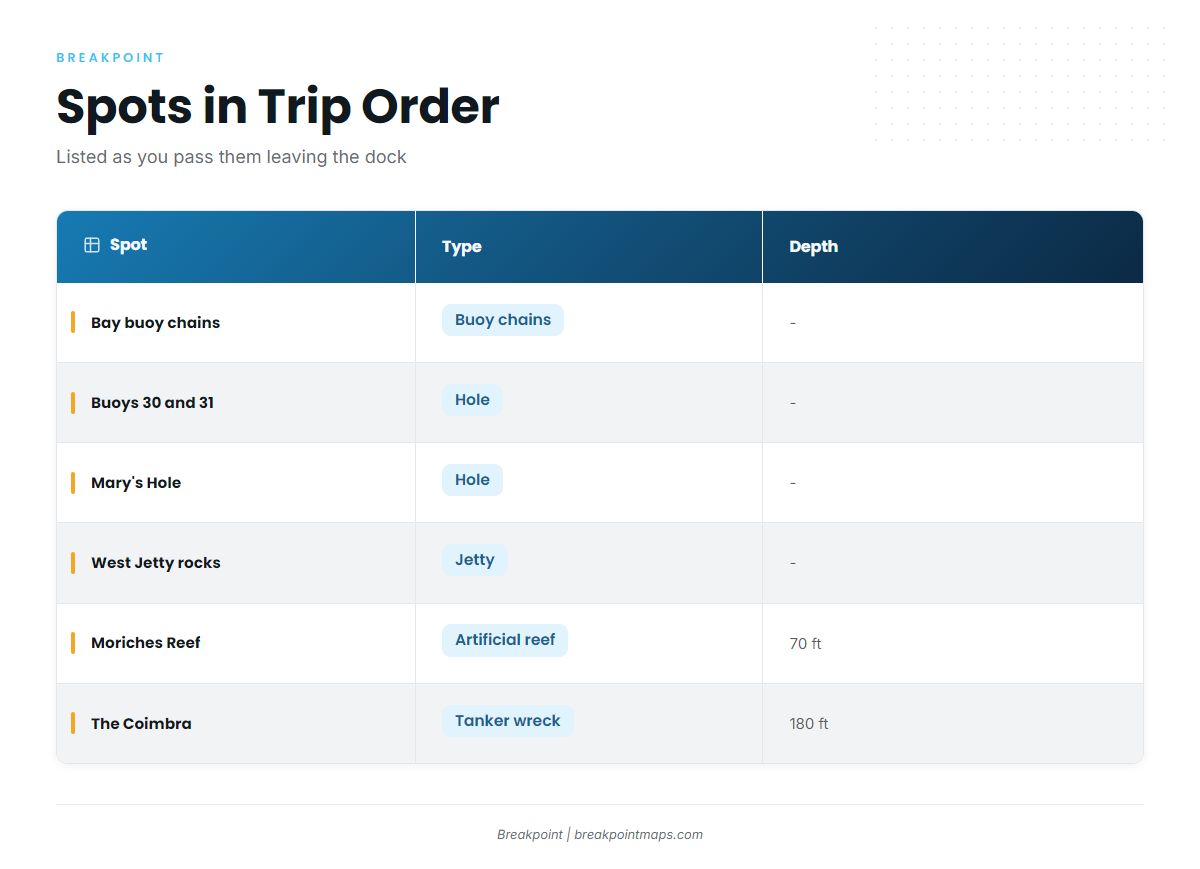
The spots below are listed in the order you pass them leaving the dock.
| Spot | Type | Depth | Location |
|---|---|---|---|
| Buoy chains | Bay structure | Throughout Moriches Bay | |
| Hole near buoys 30 and 31 | Bay hole | East in Moriches Bay, between buoys 30 and 31, off the Remsenburg shoreline | |
| Mary’s Hole | Hole | Near the inlet | |
| West Jetty rocks | Jetty rocks | Moriches Inlet, West Jetty | |
| Moriches Reef | Artificial reef | 70 ft | About 2.4 nautical miles south-southwest of Moriches Inlet |
| The Coimbra | Oil tanker wreck | 180 ft |
Chart Contours shows the bottom around each spot. Chart layers are not for navigation.
Buoy chains in Moriches Bay
The chains run throughout the bay and hold triggerfish in August.
Hole between buoys 30 and 31
This hole is east in Moriches Bay, between buoys 30 and 31, off the Remsenburg shoreline.
Mary’s Hole
Mary’s Hole is near the inlet, a landmark you pass on the way out.
West Jetty rocks
The rocks form the West Jetty of Moriches Inlet and are the last landmark before open water.
Moriches Reef
Moriches Reef is an artificial reef of barges, tugs, trawlers and tanks, in 70 ft, about 2.4 nautical miles south-southwest of Moriches Inlet. It is the first offshore waypoint on the run.
The Coimbra
The Coimbra is an oil tanker wreck in 180 ft.
How mahi are fished from this port and who fishes them
This is a private-boater fishery. Anglers run their own trips from Center Moriches, clear the inlet and work out to deeper blue water, using the named structure as waypoints along the route.
The mahi-mahi species guide covers tactics and floating-object behavior. Many boats leaving this inlet also consider other offshore targets, and the coastal and offshore gamefish guides cover those.
Structure shows where to look, but it doesn’t guarantee fish.
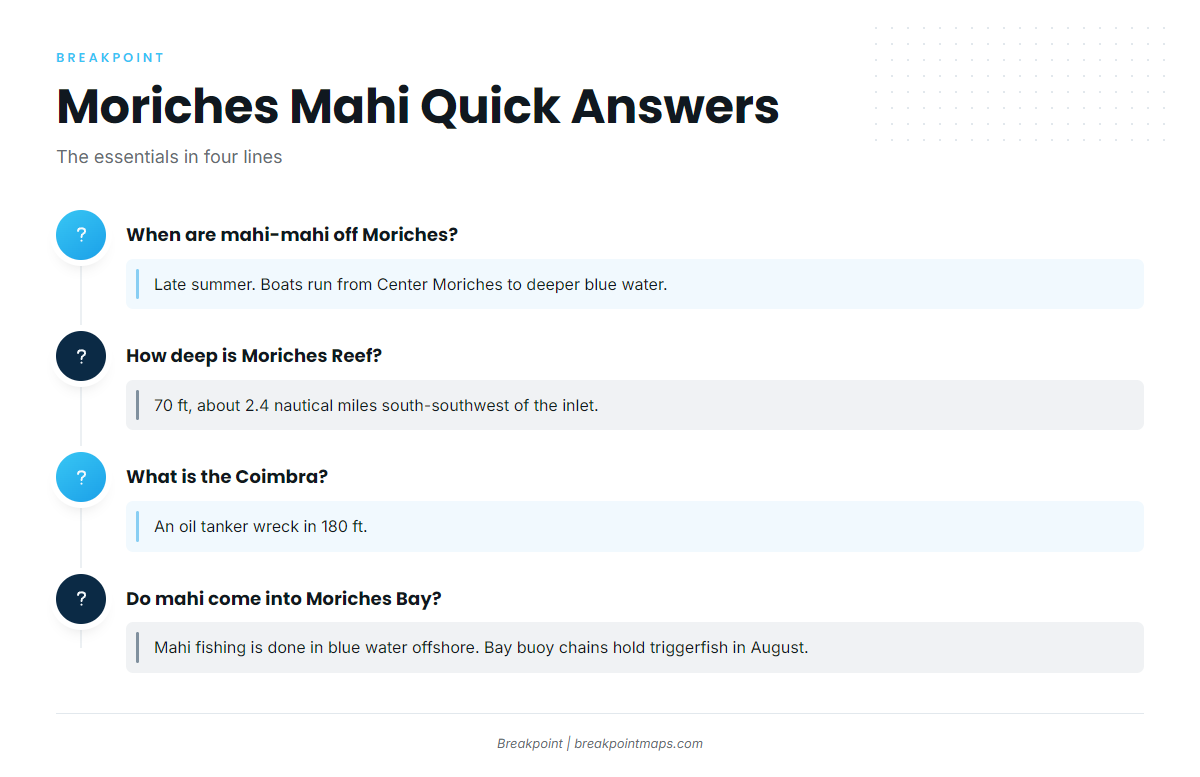
FAQ: mahi-mahi fishing out of Moriches
When are mahi-mahi off Moriches?
Late summer. Boats run from Center Moriches to deeper blue water offshore.
How deep is Moriches Reef and where is it?
Moriches Reef is in 70 ft, about 2.4 nautical miles south-southwest of Moriches Inlet. It is an artificial reef of barges, tugs, trawlers and tanks.
What is the Coimbra?
The Coimbra is an oil tanker wreck in 180 ft.
Do mahi come into Moriches Bay?
Mahi fishing out of Moriches Inlet is done in blue water offshore. The bay’s buoy chains hold triggerfish in August. For floating-object behavior, see the mahi-mahi species guide.
Do I need to check the forecast before running the inlet?
Yes. Check the official NWS marine forecast for wind in knots, wave height in feet and period in seconds before you go. Read those numbers against your boat and your crew.