Bodega Bay sits at the north end of the Gulf of the Farallones run, and bluefin typically show up on this coast from July through late November. This guide to Pacific bluefin tuna fishing out of Bodega Bay follows the order in which you make the decisions: when to go, where to head, what to put out, which numbers to read, and who already fishes it. For harbor, launch and conditions logistics, see our Bodega Bay port page. For biology, migration and tackle, use our pacific bluefin tuna guide. We can’t promise fish, but we can help you decide where to look.
When Pacific Bluefin Tuna Are Off Bodega Bay
The Bodega Bay bluefin season typically runs July through late November. That window tells you when fish are usually around, not whether they will be there on a given day.
For the coastwide picture and port-to-port timing, see the regional bluefin guide (see also the Pacific Southwest offshore fishing guide).
Where Boats Run and the Structure That Holds Fish
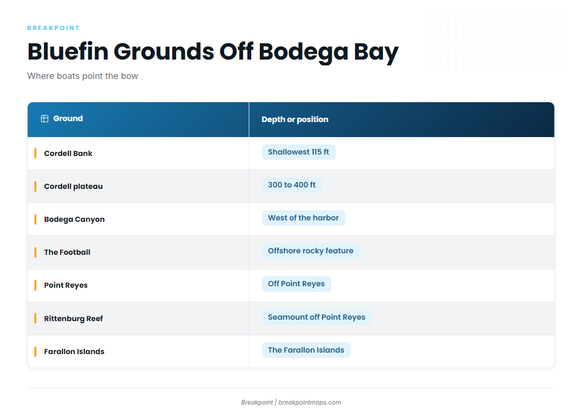
North Bay Fishing Charters names Cordell Banks, Point Reyes and the Farallon Islands as bluefin grounds. Reel Obsession Sportfishing names Rittenburg Reef. Bodega Canyon and The Football are among the named structure near the port. Bluefin set up along structure, so reading the edges is the main task.
| Ground | What it is | Depth or position |
|---|---|---|
| Cordell Bank | Offshore bank named by North Bay | Shallowest point 115 ft; plateau 300 to 400 ft |
| Bodega Canyon | Canyon | West of the harbor |
| The Football | Offshore rocky feature | Offshore |
| Point Reyes | Bluefin ground named by North Bay | Off Point Reyes |
| Rittenburg Reef | Offshore seamount named by Reel Obsession | Off Point Reyes |
| Farallon Islands | Islands named by North Bay as a bluefin ground | The Farallon Islands |
Cordell Bank
Cordell Bank rises to a shallowest point of 115 ft, with a plateau at 300 to 400 ft, which is a lot of relief offshore. North Bay names Cordell Banks as a bluefin ground, and it is a common starting point on the chart. The Chart Contours layer shows where the bank and canyon edges fall. Chart layers are not for navigation.
Bodega Canyon
Bodega Canyon is canyon structure west of the harbor.
The Football
The Football is an offshore rocky feature.
Point Reyes and Rittenburg Reef
North Bay names Point Reyes as a bluefin ground. Reel Obsession names Rittenburg Reef, an offshore seamount off Point Reyes.
The Farallon Islands
North Bay names the Farallon Islands as a bluefin ground, so they belong in the local picture.
How Bluefin Are Fished Out of Bodega Bay
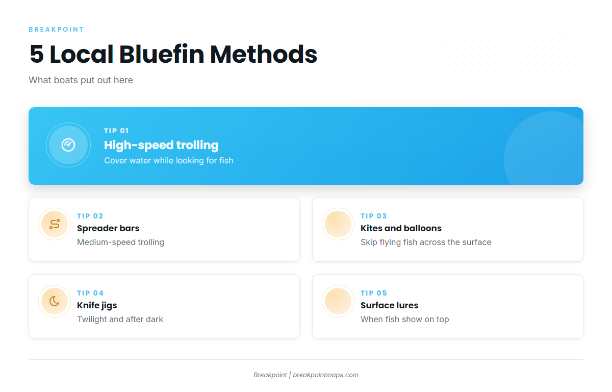
Local boats use five methods. For rigging, speeds and tackle detail, see our tuna fishing guides.
High-Speed Trolling
High-speed trolling covers water while you look for fish.
Spreader Bars at Medium Speed
Medium-speed trolling with spreader bars is used locally. The bars put a school of baitfish shapes behind the boat.
Kites and Helium Balloons
Kites with helium balloons skip flying fish across the surface. Kite fishing with flying fish is used locally.
Knife Jigs at Twilight and After Dark
Knife jigs are used in low light. Local boats run them at night and through twilight.
Surface Lures
Surface lures are used locally when fish show on top.
Reading Conditions Before the Run
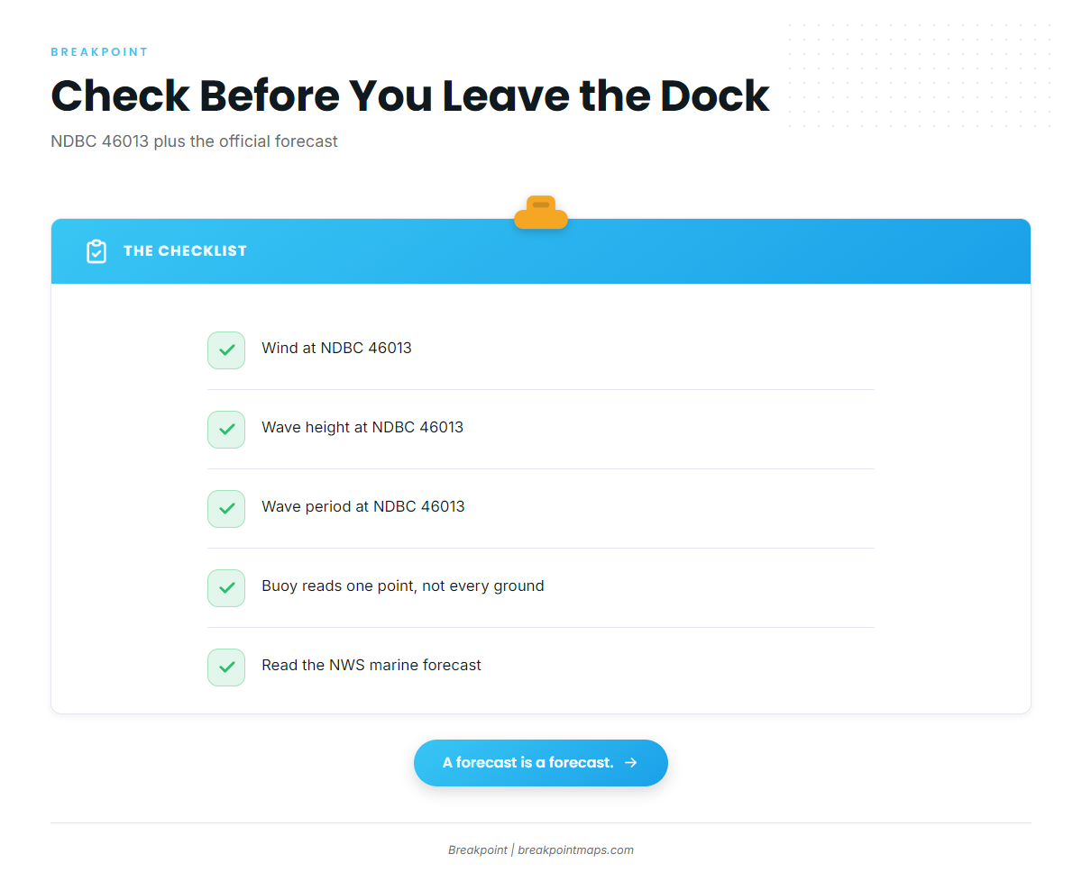
The nearest NOAA buoy is NDBC station 46013 (Bodega Bay), at 38.235 N 123.317 W, 48 NM northwest of San Francisco. Before you leave the dock, read three numbers from it:
- Wind speed and direction
- Wave height
- Wave period
The buoy reports conditions at a single point, and the grounds can differ from its reading. Check the National Weather Service marine forecast for the coast off Bodega Bay and compare it with what the buoy is reporting.
Who Fishes Bluefin Out of Bodega Bay
These Bodega Bay tuna charters list pacific bluefin tuna. A charter trip is one way to see the grounds before you run your own boat.
- North Bay Fishing Charters: F/V Bigeye (Parker 2820XLD) and Sorta Salty (Parker 2520XLD)
- Reel Obsession Sportfishing: Dragonfly, a 2005 Parker 28 Sport Cabin
- Sonoma Coast Adventures: Shauna Lee, a 40-foot sportfisher
- Captain Mike
FAQ: Pacific Bluefin Tuna Fishing Out of Bodega Bay
When is bluefin season off Bodega Bay?
Pacific bluefin tuna fishing out of Bodega Bay typically runs July through late November. That window is typical rather than guaranteed, so check conditions and reports before each run.
Where do boats run for bluefin?
North Bay names Cordell Banks, Point Reyes and the Farallon Islands. Reel Obsession names Rittenburg Reef, an offshore seamount off Point Reyes. Bodega Canyon sits west of the harbor, and The Football is an offshore rocky feature.
How deep is Cordell Bank?
Cordell Bank’s shallowest point is 115 ft. Its plateau sits at 300 to 400 ft.
What methods work locally?
Five methods are used locally:
- High-speed trolling
- Medium-speed trolling with spreader bars
- Kites with helium balloons that skip flying fish
- Knife jigs at twilight and after dark
- Surface lures
Which buoy covers Bodega Bay?
NDBC station 46013 sits at 38.235 N 123.317 W, 48 NM northwest of San Francisco. It reports wind, wave height and period at one point, so check the official marine forecast too.
Which charters target bluefin?
North Bay Fishing Charters runs F/V Bigeye and Sorta Salty. Reel Obsession Sportfishing runs Dragonfly. Sonoma Coast Adventures runs Shauna Lee. Captain Mike also fishes them.