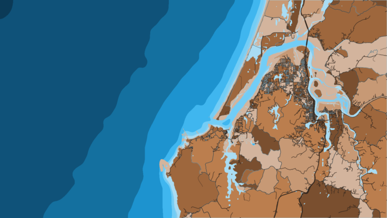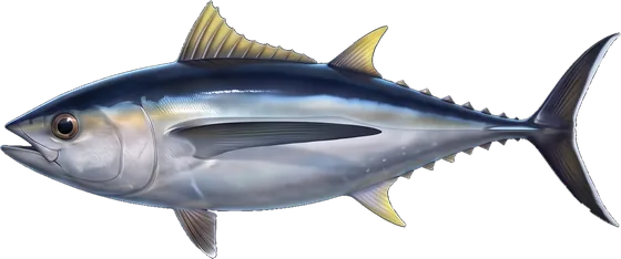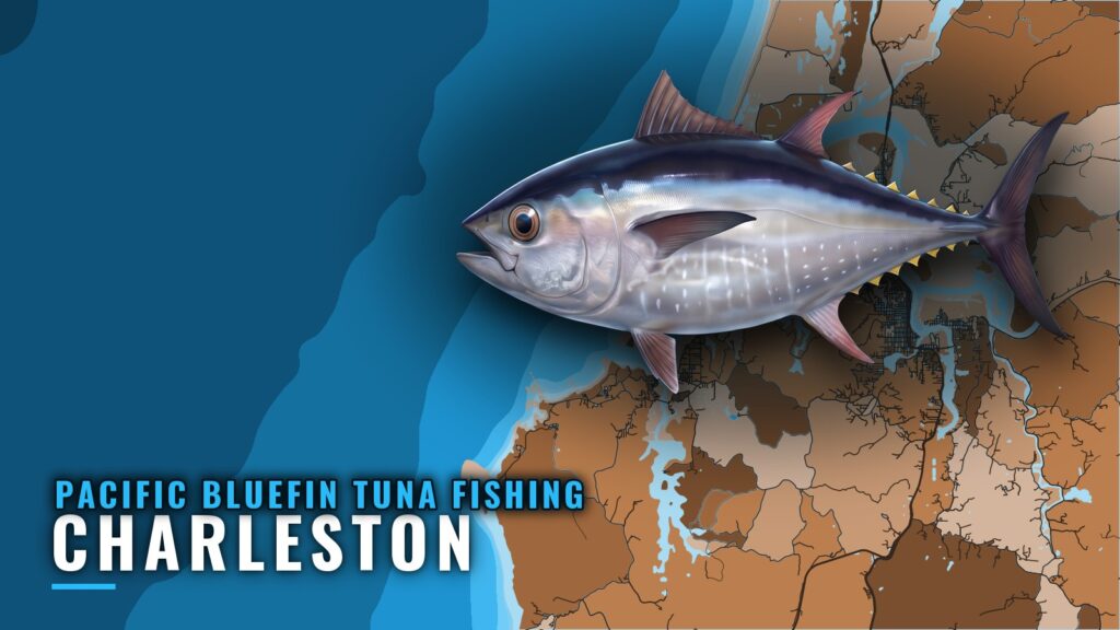
Fishing for Pacific bluefin tuna out of Charleston, Oregon, starts with the Coos Bay bar. Every run offshore crosses it, so the decision comes down to bar conditions first and offshore water second. This guide covers how to get across, what the nearest NOAA station tells you, and how to pick where to look. Local operators also list the species.
When Pacific bluefin are off Charleston
Bluefin timing off the southern Oregon coast follows the water, not the calendar.
The Pacific Northwest bluefin guide (see also the wider Pacific Northwest guide) covers when bluefin push north and what water they follow. Species behavior and general methods are on the Pacific bluefin tuna page. Read both before planning a run from this port.
Watch the water, not the calendar
Anglers who fish albacore or salmon out of Charleston already plan by dates, but that habit doesn’t carry over to bluefin.
Start with offshore water data, then check the bar numbers. Satellite sea surface temperature and chlorophyll show where water changes. In Breakpoint, those are the OBS SST and Chlorophyll layers. Look for temperature breaks and color changes, and pick a target from there.
The data has limits. Cloud can block a satellite pass, and a forecast is only a forecast. Use both as a starting point, then confirm on the water.
Running out of Charleston
Every run offshore from Charleston crosses the Coos Bay bar, so plan the trip around that crossing.
The Coos Bay bar
The bar is the one named feature between the harbor and open water. The Charleston port guide has bar and harbor detail.
The decision rests on three numbers: wind, wave height and period. Read them from the official marine forecast and from posted bar information. The Port of Coos Bay bar information page is the place to check conditions before you leave, and the Coast Guard Coos Bay bar handout is the agency’s own crossing document. Check the numbers before you untie and again before the crossing.
Reading CHAO3
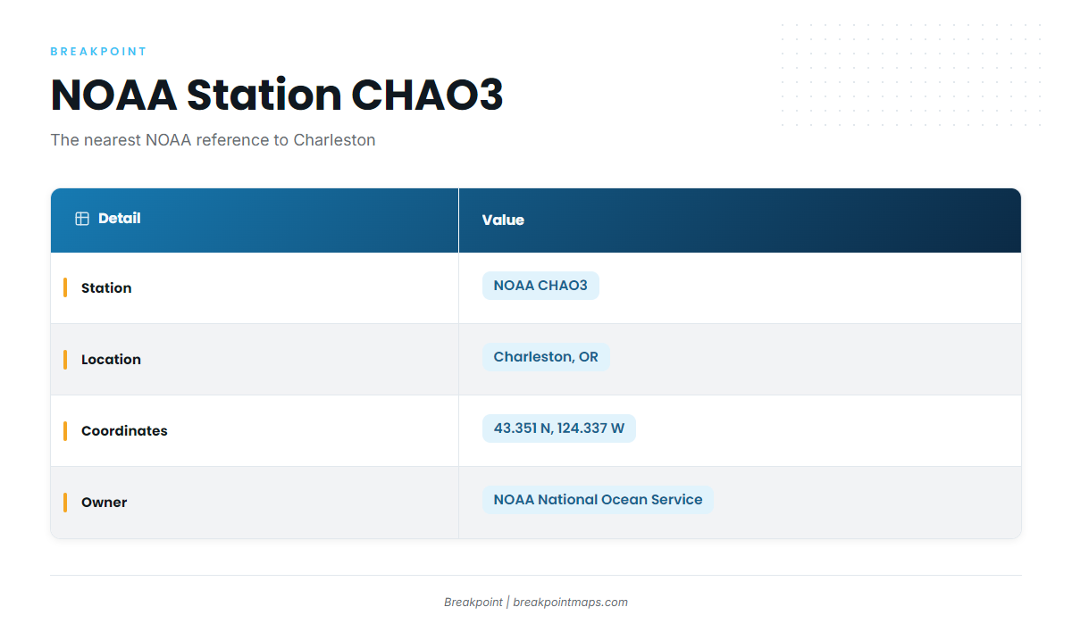
NOAA station CHAO3 is the nearest NOAA station to the port.
| Station | Location | Owner |
|---|---|---|
| NOAA CHAO3 | Charleston, OR; 43.351 N, 124.337 W | NOAA’s National Ocean Service |
CHAO3 is a harbor-side reference point. A fixed station reports conditions at its own position, which says little about water 20 or more miles out.
For offshore wind, wave height and period, use the official marine forecast. Compare the forecast numbers with what CHAO3 reports at the dock, and treat any gap as a sign of how conditions change between the harbor and open water.
Grounds and structure off Coos Bay
The Coos Bay bar is the only named structure here. Beyond it, tuna water has to be found by reading data.
Finding tuna water offshore
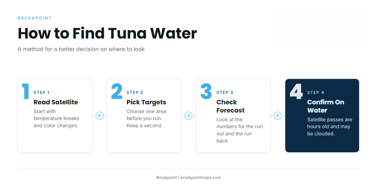
Work the search in this order:
- Start from the satellite picture. Mark temperature breaks and color changes.
- Pick a target area before you run, and keep a second one.
- Check the forecast numbers for the run out and the run back.
- Confirm on the water. The satellite pass is hours old and may be clouded.
Chart layers are not for navigation. Use your plotter and official charts to run, and use the data to decide where to look.
The goal is a better decision about where to look, made at the dock the night before. What the water shows on the day takes priority over anything you planned.
How bluefin are fished out of Charleston
Out of Charleston, bluefin are fished by private boats that cross the bar and by local operators that list the species.
Charters that list bluefin
These local operators list Pacific bluefin tuna:
- Sharkys Charter Fishing – Cape Blanco (Capt. John Blanchard)
- Miss Islay (Capt. Chris Wesley)
FAQ: Pacific bluefin out of Charleston
Is there Pacific bluefin tuna fishing out of Charleston?
Yes. Boats run for bluefin across the Coos Bay bar, and 2 local charters list Pacific bluefin tuna fishing out of Charleston. Whether fish are there on a given day depends on the water.
When do bluefin show up off Charleston?
Bluefin follow water, not dates. Read offshore temperature and color data before you plan a run, and decide from what the water shows.
Where do I check Coos Bay bar conditions?
Use the official marine forecast and the Port of Coos Bay’s posted bar information for wind, wave height and period. NOAA station CHAO3 is a harbor-side reference, not an offshore reading.
Who runs bluefin trips out of Charleston?
Sharkys Charter Fishing – Cape Blanco (Capt. John Blanchard) and Miss Islay (Capt. Chris Wesley) list Pacific bluefin tuna.
Where do I learn general tuna methods?
Start with tuna fishing methods and species for the general picture across tuna.