When bluefin show up off Depoe Bay
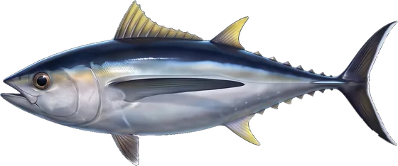
Bluefin come over the rail at Depoe Bay on albacore days, mixed in with the albacore. Pacific bluefin tuna fishing out of Depoe Bay is albacore fishing with a bigger fish possible in the mix. It is incidental catch, and no one runs a targeted bluefin fishery here.
Plan and rig for an albacore day and treat anything beyond that as a bonus. For the species itself, see our Pacific bluefin tuna guide. For the coast-wide picture, read about Pacific Northwest bluefin (see also the Pacific Northwest region guide).
Where boats run for bluefin out of Depoe Bay
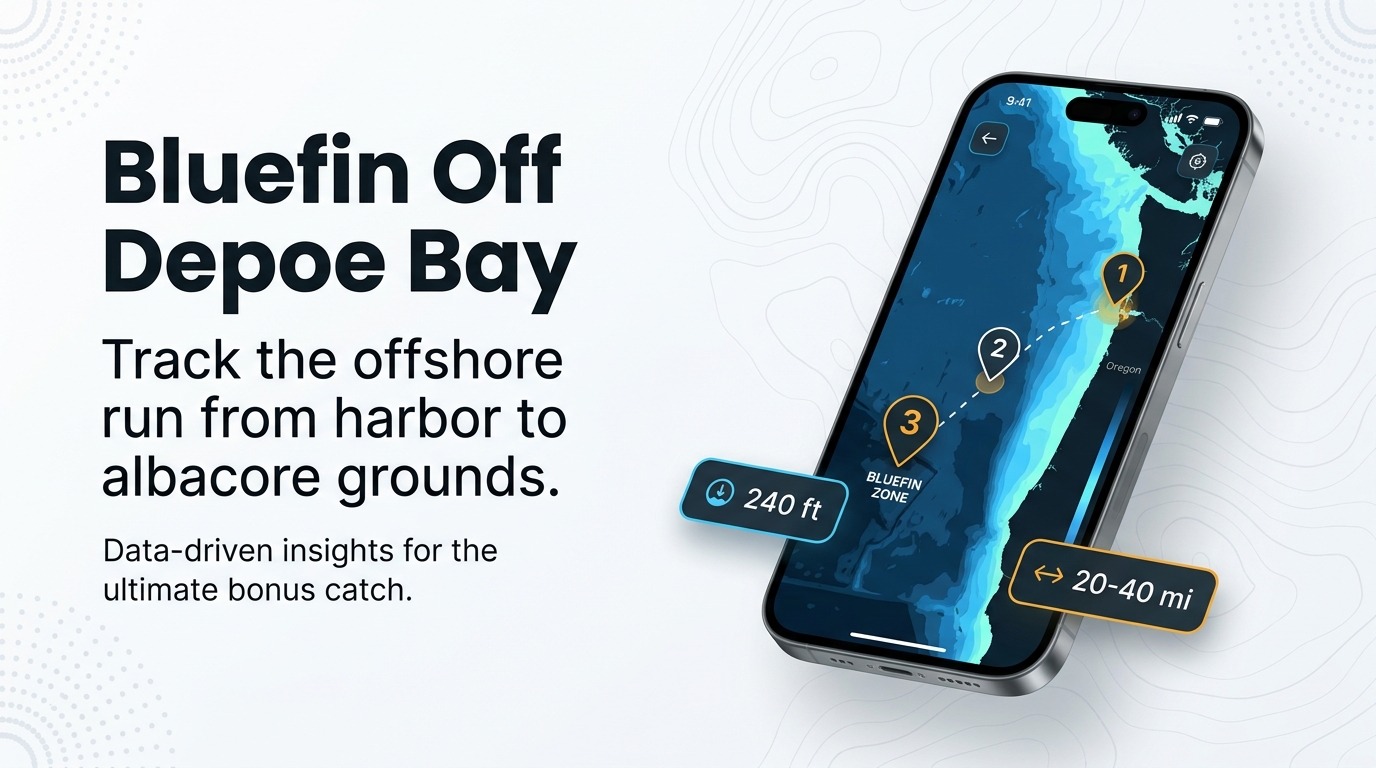
Dockside’s 12-hour albacore trips run 20 to 40 miles out. That distance is what you plan around, and it makes for a long day on the water.
Bluefin are caught on those same offshore albacore grounds. No named ground holds bluefin here; the albacore water is the bluefin water. You leave the same harbor and cross the same ground whether you are after albacore or hoping for a bluefin.
Grounds and structure between the harbor and tuna water
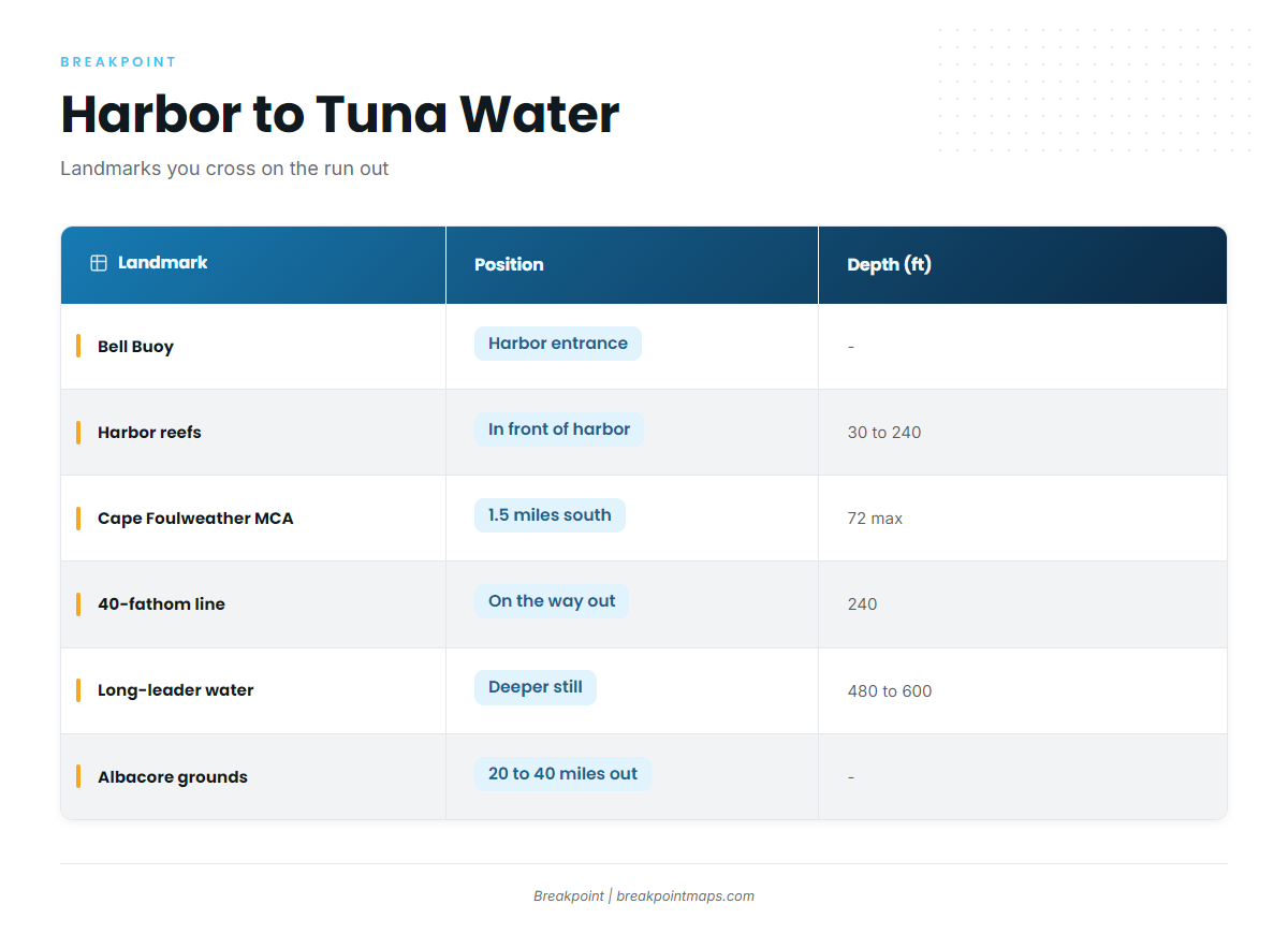
These are the spots you cross and learn on the way out. None of them is bluefin structure, but they give you reference points from the harbor entrance to the offshore grounds. The Depoe Bay port page covers the harbor itself.
| Landmark | Position | Depth (ft) |
|---|---|---|
| Bell Buoy | Harbor entrance | |
| Reefs in front of the harbor | In front of the harbor | 30 to 240 |
| Spanish Head | North side | |
| Cape Foulweather Complex MCA | 1.5 miles south | 72 max |
| 40-fathom line | 240 (40 fathoms) | |
| Long-leader water | 480 to 600 (80 to 100 fathoms) | |
| Albacore grounds | 20 to 40 miles out |
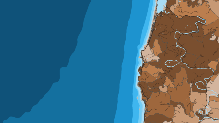
Chart Contours shows the 40-fathom line and the deeper contours on the way out. Chart layers are not for navigation.
Bell Buoy
Bell Buoy marks the harbor entrance and the point where the run offshore starts.
Reefs in front of the harbor
The reefs in front of the harbor run 30 to 240 ft, the range of Dockside’s 5-hour bottom trips. This is the shallow end of the depth ladder you climb on the way to tuna water.
Spanish Head
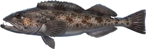
Spanish Head sits on the north side. Boats there move on to deeper water for lingcod.
Cape Foulweather Complex Marine Conservation Area
The Cape Foulweather Complex Marine Conservation Area has a maximum depth of 72 ft and sits 1.5 miles south of Depoe Bay. Know where it is before you set a course, and see the Regulations section below.
The 40-fathom line and long-leader water
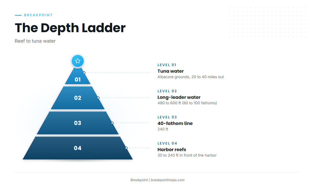
The 40-fathom line sits at 240 ft. Long-leader trips fish 480 to 600 ft (80 to 100 fathoms). Past that, the run continues 20 to 40 miles out to the albacore grounds.
How bluefin are fished here
The bluefin program is the albacore program: troll and light-tackle drift. No separate bluefin method is used out of this port. For technique depth, see our tuna fishing guides.
Trolling
Trolling is the first half of the Depoe Bay albacore program, and any bluefin comes on that same spread.
The light-tackle drift
The light-tackle drift is the second half of the same program, and bluefin are fished the same way.
Who fishes for bluefin out of Depoe Bay
Two groups fish for bluefin here: private boats running albacore days, and Dockside’s 12-hour albacore trips working the same water with the same program. Neither runs a bluefin-only day. Both fish albacore and take a bluefin when one eats.
FAQ: Pacific bluefin tuna fishing out of Depoe Bay
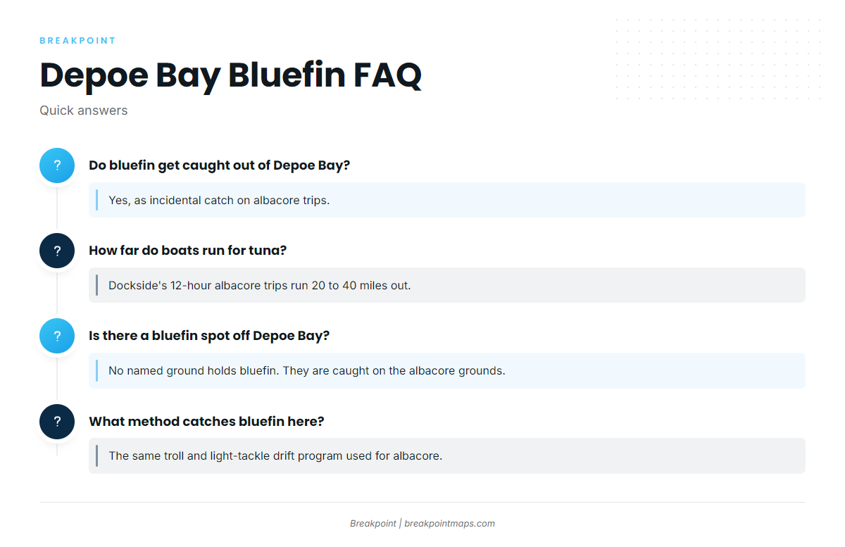
Do bluefin tuna get caught out of Depoe Bay?
Yes, as incidental catch on albacore trips. They are a bonus fish rather than a target.
How far do boats run from Depoe Bay for tuna?
Dockside’s 12-hour albacore trips run 20 to 40 miles out.
Is there a bluefin spot off Depoe Bay?
No named ground holds bluefin. They are caught on the albacore grounds.
What method catches bluefin here?
The same troll and light-tackle drift program used for albacore.
Where are the bluefin rules?
ODFW and NOAA Fisheries set them. See the Regulations section above and check both before fishing.