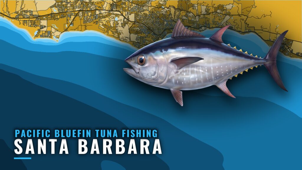
Pacific bluefin tuna fishing out of Santa Barbara mostly means a run past the islands rather than a bite in the Channel. Fish inside the islands are rare, and the main schools hold on the far side of Anacapa and Santa Cruz. This page covers where boats run, which named grounds we chart, how schools get found, and which buoy to read. General behavior and tackle are in our Pacific bluefin tuna guide. The aim is a better decision about where to look, and it makes no promise of fish.
Where Santa Barbara boats run for bluefin
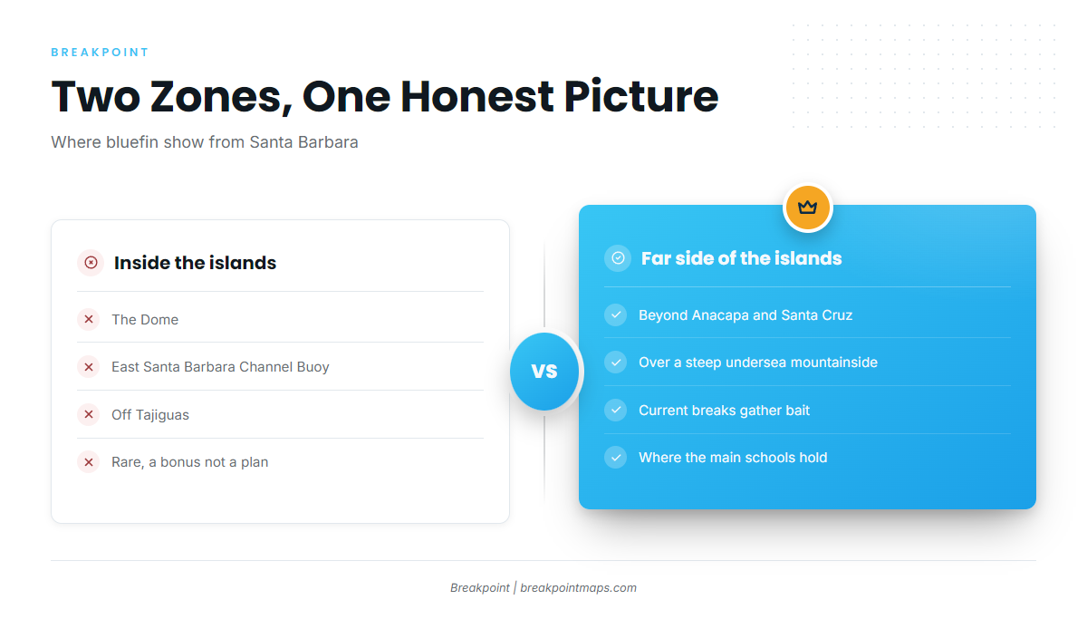
Harbor, ramp and fuel details are on the Santa Barbara port page. This section is about geography. Pacific bluefin tuna fishing out of Santa Barbara splits into two zones: a few spots inside the Santa Barbara Channel, and the far side of the islands where the schools concentrate.
- Inside the islands: The Dome, East Santa Barbara Channel Buoy and Tajiguas.
- Far side of the islands: The back of Anacapa Island and Santa Cruz Island, over a steep undersea mountainside.
Inside the islands
Bluefin do show inside the islands at The Dome, the East Santa Barbara Channel Buoy and off Tajiguas, but rarely. A local captain’s column makes the same point. An inside fish is a bonus, not a plan. For timing and the regional run, see our Pacific Southwest bluefin guide (see also the wider Pacific Southwest guide).
The East Santa Barbara Channel Buoy is both a named spot and the site of NDBC station 46053, covered below.
The far side of Anacapa and Santa Cruz
The main schools hold on the far side of Anacapa and Santa Cruz Islands, over a steep undersea mountainside. The slope creates current breaks, the breaks gather bait under kelp paddies, and the bluefin follow the bait.
Named grounds and structure near Santa Barbara
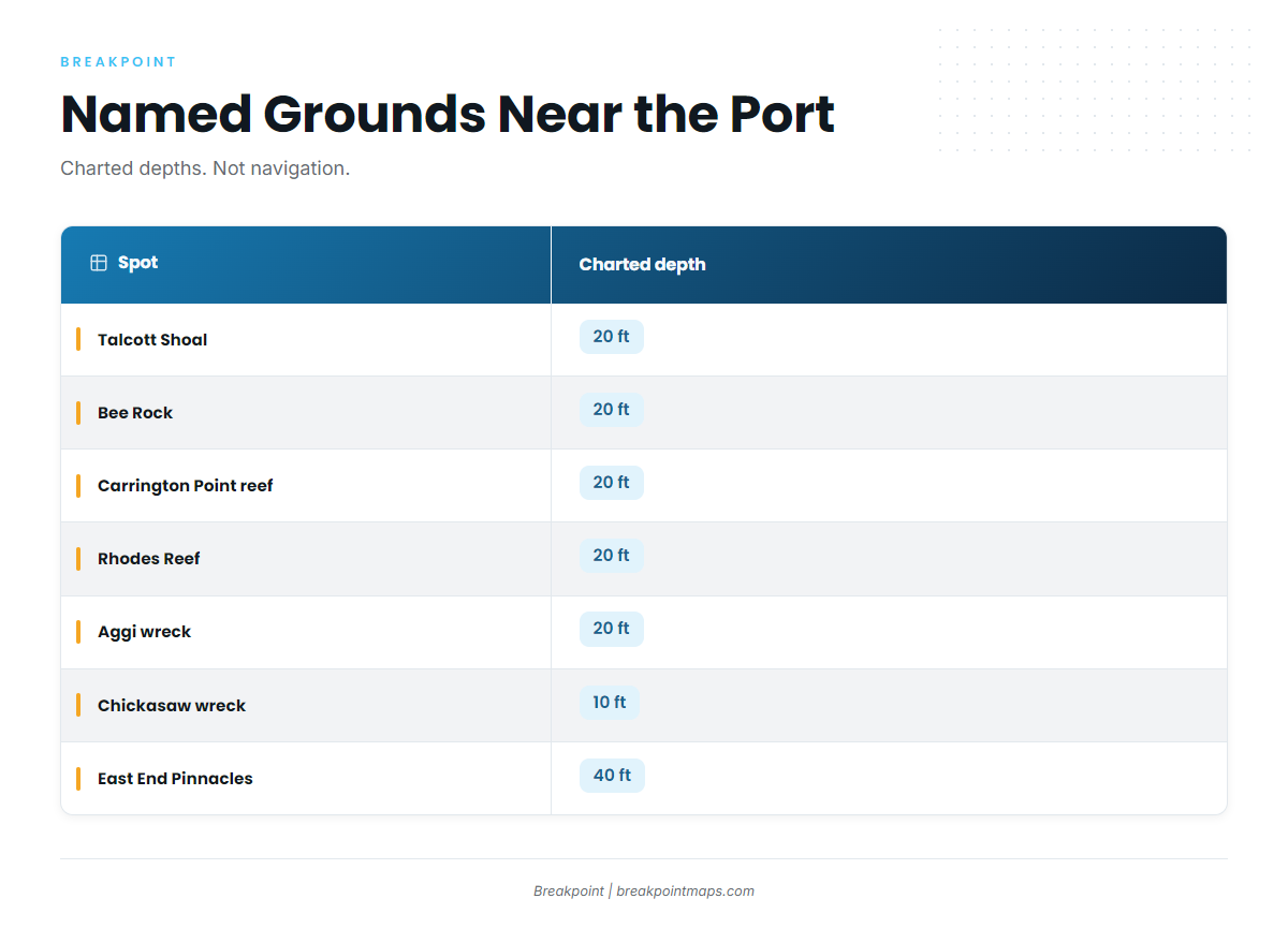
We chart these named grounds near the port. They are shallow reefs, shoals and wrecks. Bluefin are found by birds, bait and paddies rather than on these spots, so treat them as reference points and not as places that hold tuna.
| Spot | Charted depth | Location note |
|---|---|---|
| Talcott Shoal | 20 ft | |
| Bee Rock | 20 ft | |
| Carrington Point reef | 20 ft | North side of Santa Rosa Island, east of Brockway Point |
| Rhodes Reef | 20 ft | |
| Aggi wreck | 20 ft | In the Talcott Shoal area off Santa Rosa Island |
| Chickasaw wreck | 10 ft | |
| East End Pinnacles | 40 ft | East end of Santa Rosa Island |
| The Dome |
Chart layers are not for navigation.
How bluefin are found from this port
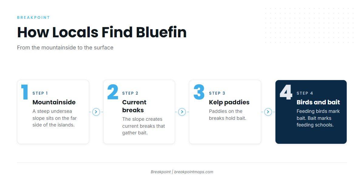
Locals track schools by feeding birds and bait, with kelp paddies on the current breaks. OBS SST and Chart Contours show where the bottom steepens and where the water changes, which helps before you commit to the run.
Feeding birds and bait
Feeding birds mark bait, and bait marks where schools feed. Find the birds, then look at what is under them. The named reefs above do not replace this method.
Kelp paddies on current breaks
Paddies on the current breaks hold bait. This connects to the far-side mountainside: the slope sets up the breaks, the breaks gather the paddies, and the paddies hold the bait.
Reading buoy 46053 before the run
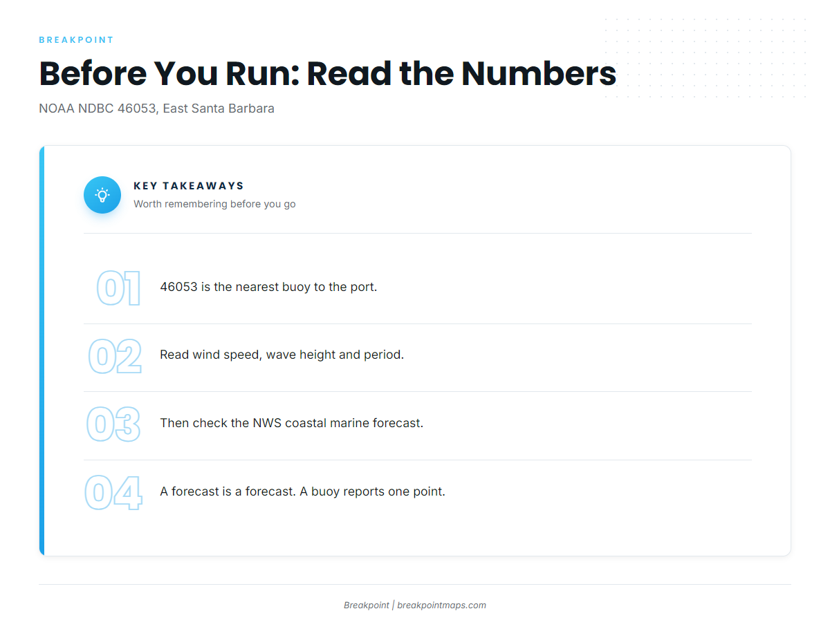
NOAA’s NDBC station 46053 data, East Santa Barbara, comes from the nearest buoy. Read wind speed, wave height and dominant period as numbers before the crossing. Then check the NWS coastal marine forecast. A forecast covers a broad area, while a buoy reports a single point.
Who fishes bluefin out of Santa Barbara
Private boats from this port run to the far side of Anacapa and Santa Cruz, where the main schools hold.
Many Santa Barbara anglers instead travel to San Diego party boats for bluefin. If that is your plan, see our tuna fishing guides for other ports and species.
FAQ about Pacific bluefin tuna fishing out of Santa Barbara
Can you catch bluefin inside the Santa Barbara Channel?
Yes, but it is rare. Fish have shown at The Dome, the East Santa Barbara Channel Buoy and off Tajiguas. Treat an inside bite as a bonus. The main schools hold on the far side of Anacapa and Santa Cruz Islands.
Where are the main schools?
On the far side of Anacapa and Santa Cruz Islands, over a steep undersea mountainside. That structure forms current breaks, the breaks gather bait under kelp paddies, and the bluefin follow the bait.
How do locals find them?
Locals track feeding birds and bait, and they look for kelp paddies on current breaks. The named reefs and wrecks near the port are charted grounds that serve as reference points. They are not the search method.
Which buoy should I check?
NOAA NDBC station 46053, East Santa Barbara, is the nearest buoy. Read wind speed, wave height and dominant period as numbers, then check the NWS coastal marine forecast. A forecast covers a broad area, while a buoy reports a single point.
Do Santa Barbara anglers go to San Diego instead?
Many do, on party boats. Private boats from this port run to the far side of the islands instead. These are different trips, and the right one depends on your boat and your plan for the day.