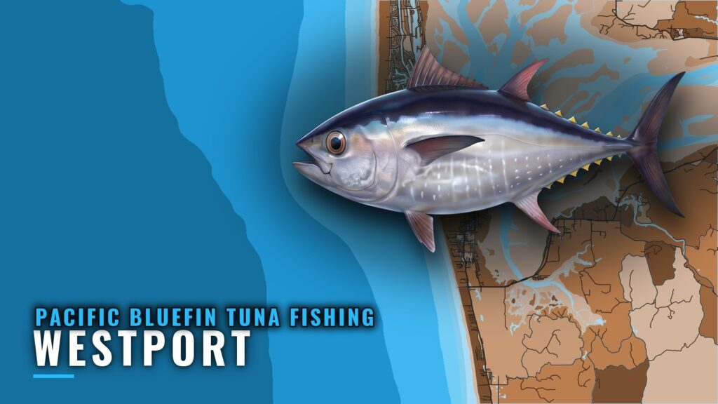
Where bluefin hold off Westport
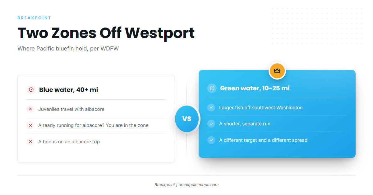
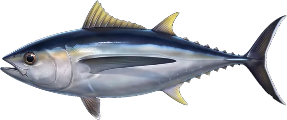
Pacific bluefin hold in two zones off Westport: juveniles with albacore in blue water 40 or more miles out, and larger fish in green water about 10 to 25 miles off southwest Washington. Fishing for them out of Westport mostly comes down to which zone you run to. WDFW names Westport as one of two ports where these fish are most often caught, the other being Ilwaco, and its figures are the basis for the distances here, per WDFW’s Pacific bluefin profile.
Launch, fuel and bar logistics are in the Westport port guide. Biology and size classes are covered in the Pacific bluefin tuna guide.
Juveniles are a bonus on albacore trips. Larger fish are a separate, closer target, and choosing between them changes both your run distance and your spread.
| Zone | Water type | Distance offshore | Size class |
|---|---|---|---|
| Outer green water | Green | About 10 to 25 miles | Larger fish |
| Albacore grounds | Blue | 40 or more miles | Juveniles |
Juveniles with albacore in blue water
Juveniles travel with albacore in blue water 40 or more miles offshore, so if you are already running for albacore, you are in the juvenile zone.
Larger fish in green water
Larger fish are found in green water about 10 to 25 miles off southwest Washington. That is a shorter run than an albacore trip, and the trip is planned differently.
Grounds and structure from the bar out
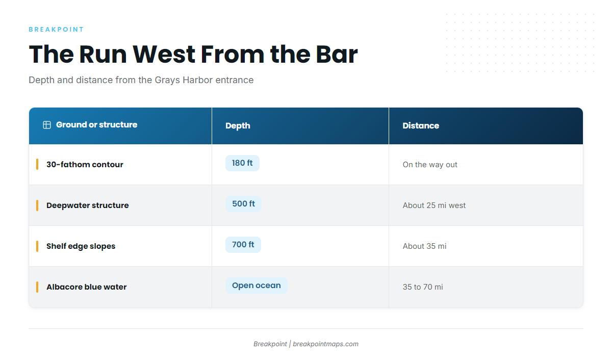
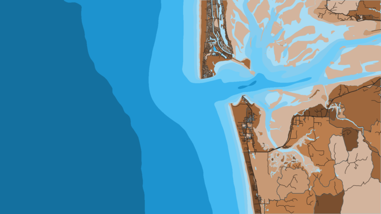
From the Grays Harbor Bar, the run west crosses the 30-fathom line at 180 ft, deepwater structure at 500 ft about 25 miles out, and the 700 ft shelf slopes about 35 miles out, where albacore blue water begins. The 500 ft structure sits near the outer edge of the green-water band, and the 700 ft slopes sit near where operators place the start of blue water. Use these as geography for planning the run.
The 30-fathom line and the 500 ft and 700 ft edges show on Chart Contours. Chart layers are not for navigation.
| Ground or structure | Depth | Distance from Grays Harbor entrance |
|---|---|---|
| Westport Jetty (Westport Light State Park) | ||
| North Jetty (near Ocean Shores) | ||
| Grays Harbor Bar (entrance hazard) | ||
| 30-fathom contour (Marine Area 2 lingcod line) | 180 ft | |
| Deepwater structure | 500 ft | About 25 miles due west |
| Quinault Canyon edge | ||
| Halibut slopes, continental shelf edge | 700 ft | About 35 miles (operator figure) |
| Albacore blue water | 35 to 70 miles (operator figures) |
Grays Harbor Bar and the jetties
The Westport Jetty at Westport Light State Park and the North Jetty near Ocean Shores frame the entrance. The Grays Harbor Bar is an entrance hazard that every trip crosses.
NOAA tide station 9441102 at Westport is the tide reference for timing the bar. Check the forecast and the official Grays Harbor bar information before you leave.
30-fathom line, 180 ft
The 30-fathom contour is the Marine Area 2 lingcod line at 180 ft. It works as a reference contour on the way out.
Deepwater structure, 500 ft, about 25 miles west
The structure lies about 25 miles due west of the Grays Harbor entrance at 500 ft, near the outer limit of the 10 to 25 mile green-water band.
Quinault Canyon edge and the shelf slopes, 700 ft, about 35 miles out
The Quinault Canyon edge is a known halibut spot. The halibut slopes on the continental shelf edge sit at 700 ft, generally about 35 miles out, operators say. Both lie near where albacore blue water starts.
Albacore blue water, 35 to 70 miles
Operators quote 35 to 70 miles offshore for the albacore blue-water zone, which lines up with WDFW’s figure of juveniles 40 or more miles out.
How bluefin are fished out of Westport
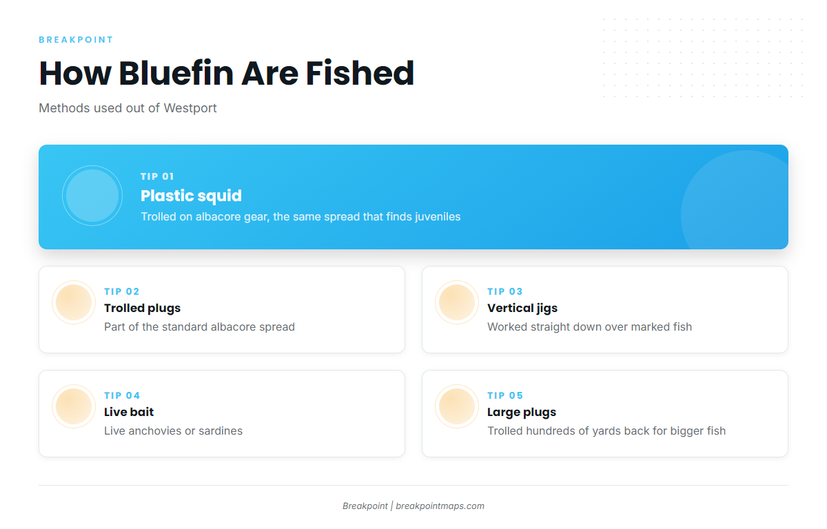
Bluefin out of Westport come on albacore gear (trolled plastic squid or plugs), vertical jigs and live anchovies or sardines. Some anglers also troll large plugs hundreds of yards back for bigger fish. The albacore overlap is covered in the tuna fishing guides.
Albacore gear: plastic squid and plugs
This is the same spread that finds juveniles in the albacore zone:
- Trolled plastic squid
- Trolled plugs
Vertical jigging and live anchovies or sardines
Once fish are located, these also work:
- Vertical jigs
- Live anchovies or sardines
Large plugs hundreds of yards back
Some anglers troll large plugs hundreds of yards behind the boat for bigger fish. This is the green-water tactic.
Who fishes for bluefin out of Westport
WDFW names Westport as one of two ports, with Ilwaco, where these fish are most often caught. For the wider picture, see bluefin across the Pacific Northwest (see also the Pacific Northwest region guide).
Two groups fish them out of Westport:
- Albacore runners, who pick up juveniles in the blue-water spread
- Anglers who deliberately target the larger fish with large plugs trolled far back
FAQ: bluefin tuna out of Westport
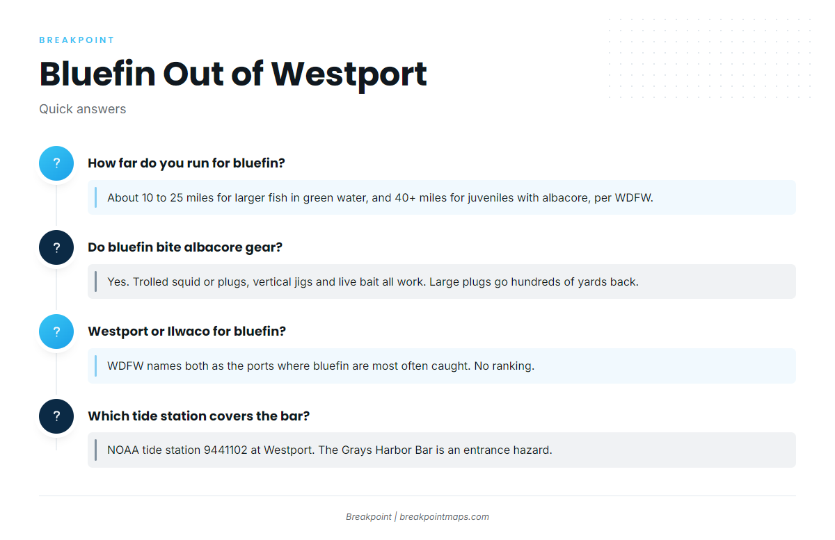
How far do you run for bluefin from Westport?
It depends on size. WDFW places larger fish in green water about 10 to 25 miles off southwest Washington, and juveniles with albacore in blue water 40 or more miles offshore. The size you target sets your run.
Do bluefin bite albacore gear?
Yes. Trolled plastic squid or plugs, vertical jigging, and live anchovies or sardines all take them. Some anglers also troll large plugs hundreds of yards behind the boat for bigger fish.
Westport or Ilwaco for bluefin?
WDFW names both as the ports where bluefin are most often caught and does not rank them. Pick the port that fits your boat, your launch and your route offshore.
What depth is the shelf edge off Westport?
The halibut slopes on the continental shelf edge sit at 700 ft, generally about 35 miles out per operators. Deepwater structure at 500 ft lies about 25 miles due west of the Grays Harbor entrance.
What tide station covers the Grays Harbor Bar?
NOAA tide station 9441102 at Westport. The Grays Harbor Bar is an entrance hazard, so check the official forecast and bar information before you cross.