When Red Grouper Are Around Cedar Key
Red grouper fishing out of Cedar Key is best from October through April, when the fish are most active and the season runs long. The wider picture is in the red grouper fishing in the Gulf of Mexico and the Gulf of Mexico region guide.
Channels, ramps and fuel are on the Cedar Key port page. Biology and general species facts are in the red grouper guide.
This page covers the run and depth band, the named marks with FWC coordinates, the local method, who fishes here, and what to check before you leave the dock. It doesn’t promise fish, but it should help you decide where to look.
How Far and Where Boats Run
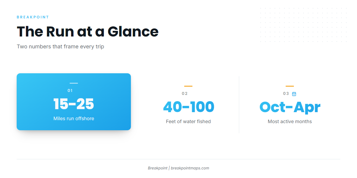
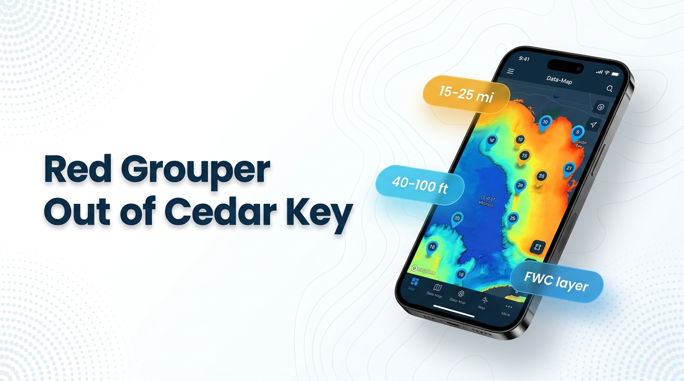
Boats run 15-25 miles to offshore ledges and artificial reefs in 40-100 ft of water. Those two figures frame the day, and the depths listed for each mark below show which ones sit inside the 40-100 ft band.
- Run distance: 15-25 miles
- Depth band: 40-100 ft
- Structure types: offshore ledges and artificial reefs
Grounds and Structure That Hold Them
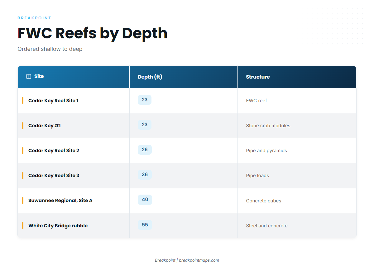
Two natural grounds and six FWC artificial reefs are named near Cedar Key. Only two of the listed sites fall inside the 40-100 ft band: Suwannee Regional Reefs, Site A at 40 ft and White City Bridge rubble at 55 ft. Cedar Key #1 and Cedar Key Reef Sites 1 through 3 sit at 23-36 ft.
Seahorse Reef
A natural sandbar, not an artificial reef, offshore and a longer sail from Cedar Key.
Kingfish Hole
On the northwest side of Seahorse Reef.
Cedar Key Reef Site 1
FWC artificial reef. 23 ft. Lat 29.1018 N, Long 83.2200 W (FWC layer).
Cedar Key #1
FWC artificial reef, stone crab modules, 1986. 23 ft. Lat 29.1226 N, Long 83.2231 W (FWC layer).
Cedar Key Reef Site 2
FWC artificial reef, 1988-89 pipe and pyramid loads. 26 ft. Lat 28.9818 N, Long 83.2000 W (FWC layer).
Cedar Key Reef Site 3
FWC artificial reef, pipe loads. 36 ft. Lat 29.1143 N, Long 83.4253 W (FWC layer).
Suwannee Regional Reefs, Site A
FWC artificial reef, concrete cubes. 40 ft. Lat 28.9863 N, Long 83.3177 W (FWC layer). It sits at the shallow edge of the 40-100 ft band.
White City Bridge Rubble
FWC artificial reef, steel and concrete. 55 ft. Lat 29.1668 N, Long 83.6496 W (FWC layer). It is the deepest listed site and sits inside the band.
| Site | Structure | Depth (ft) | Lat | Long |
|---|---|---|---|---|
| Cedar Key Reef Site 1 | FWC artificial reef | 23 | 29.1018 N | 83.2200 W |
| Cedar Key #1 | Stone crab modules, 1986 | 23 | 29.1226 N | 83.2231 W |
| Cedar Key Reef Site 2 | Pipe and pyramid loads, 1988-89 | 26 | 28.9818 N | 83.2000 W |
| Cedar Key Reef Site 3 | Pipe loads | 36 | 29.1143 N | 83.4253 W |
| Suwannee Regional Reefs, Site A | Concrete cubes | 40 | 28.9863 N | 83.3177 W |
| White City Bridge rubble | Steel and concrete | 55 | 29.1668 N | 83.6496 W |
Swipe the table sideways to see every column.
These FWC coordinates can be loaded as marks. Chart layers and coordinates are not for navigation.
How It Is Fished Locally
Red grouper here are fished by bottom fishing on structure, the same way as gag. If you already fish gag on these grounds, you have the method: find the structure and put the bait on the bottom. For general technique, see the reef fish guides.
Who Fishes Red Grouper Here and Reading Conditions
Private boaters fish these grounds in their own boats. Hookin It Charters and Tours (Capt. Jayson Porter) is a local charter that lists red grouper, and its Hookin It Charters listing is on Guidesly.
- Own boat: you pick the marks, the day and the turnaround.
- Local charter: Hookin It Charters and Tours lists red grouper.
CDRF1
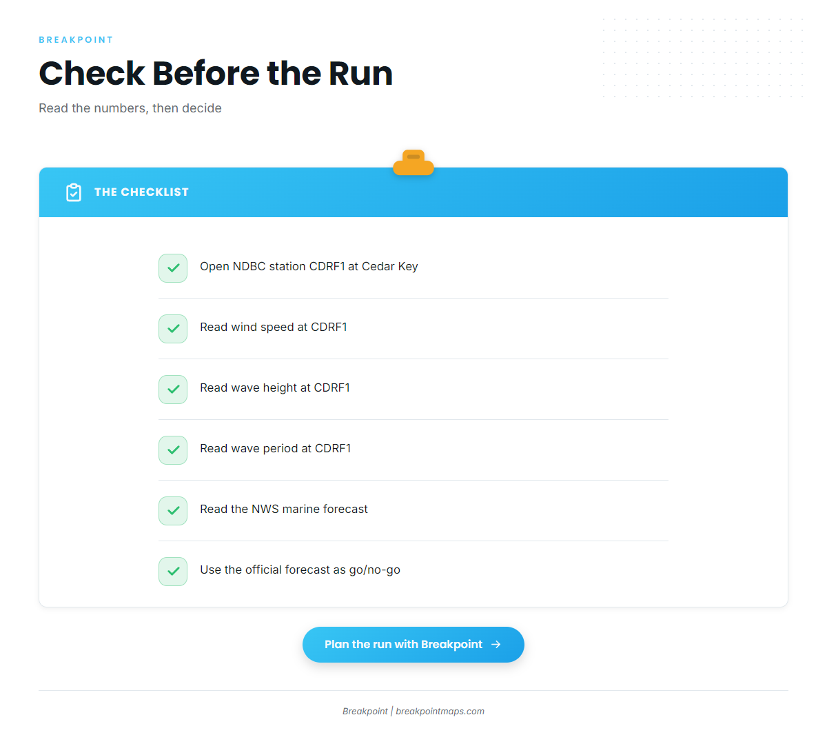
The nearest NOAA station is NDBC C-MAN station CDRF1 at Cedar Key, 29.136 N, 83.029 W. Check wind, wave height and period there, and in the NWS marine forecast, before you run 15-25 miles. Use the official forecast to make the go or no-go call.
FAQ: Red Grouper Fishing Out of Cedar Key
What are the best months for red grouper out of Cedar Key?
October through April. Red grouper out of Cedar Key are most active in those months.
How far do boats run for red grouper from Cedar Key?
Boats run 15-25 miles, to offshore ledges and artificial reefs.
What depth do red grouper hold in off Cedar Key?
Boats fish 40-100 ft. Suwannee Regional Reefs, Site A (40 ft) and White City Bridge rubble (55 ft) are the listed FWC sites inside that band.
Does a Cedar Key charter target red grouper?
Yes. Hookin It Charters and Tours, run by Capt. Jayson Porter, lists red grouper.
Which buoy should I check before the run?
NDBC C-MAN station CDRF1 at Cedar Key, 29.136 N, 83.029 W. Check wind, wave height and period there, along with the NWS marine forecast.