When the kings are here
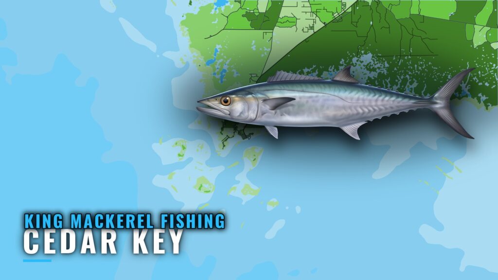
King mackerel fishing out of Cedar Key is a summer fishery. The fish move into this stretch of the Big Bend in summer, and the Cedar Key port page carries the ramps, channels and port detail. For migration and biology, see the king mackerel species guide.
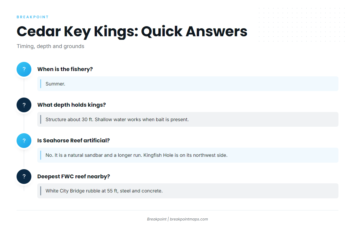
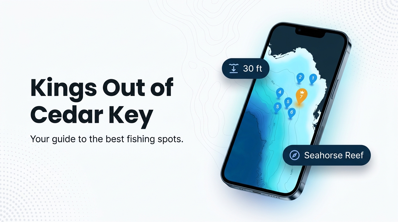
Structure about 30 ft deep holds them, and that is the depth that matters most for Cedar Key kings. Keep it in mind when you read the grounds table below.
Where boats run and the grounds that hold fish
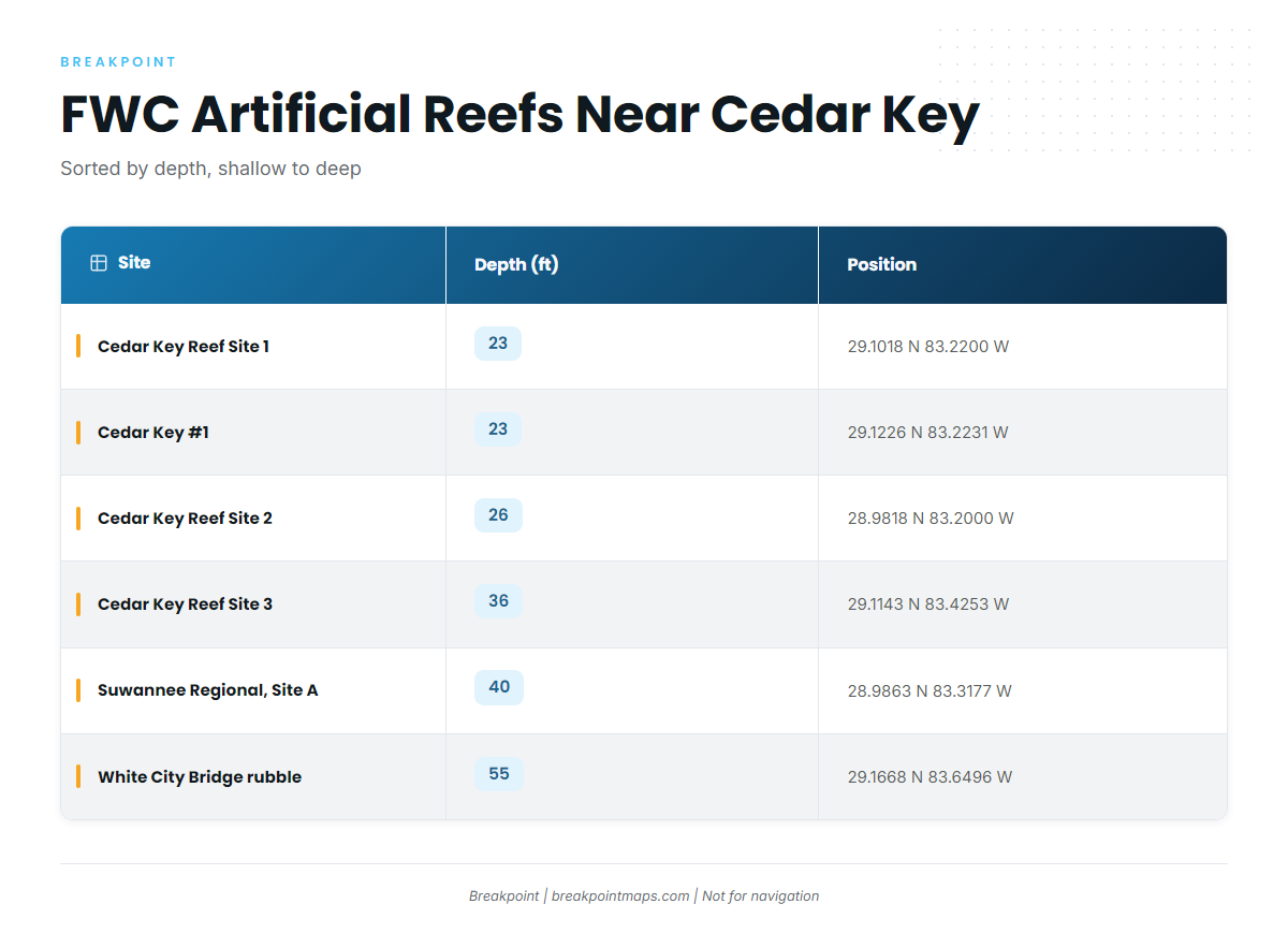
Boats run to two kinds of ground: a natural sandbar at Seahorse Reef and six FWC artificial reefs between 23 and 55 ft. Crystal River and Yankeetown departures fish the same stretch of the Big Bend. The Gulf king mackerel regional guide (see also the Gulf of Mexico region guide) covers the wider Gulf of America (Gulf of Mexico).
Seahorse Reef and Kingfish Hole
Seahorse Reef is a natural sandbar rather than an artificial reef, and it is a longer run from Cedar Key than the FWC sites below. Kingfish Hole sits on its northwest side.
FWC artificial reefs
The positions and depths below come from the FWC artificial reef layer. Chart layers are not for navigation.
| Site | Material and year | Depth (ft) | Latitude | Longitude |
|---|---|---|---|---|
| Cedar Key Reef Site 1 | 23 | 29.1018 N | 83.2200 W | |
| Cedar Key #1 | stone crab modules, 1986 | 23 | 29.1226 N | 83.2231 W |
| Cedar Key Reef Site 2 | pipe and pyramid loads, 1988-89 | 26 | 28.9818 N | 83.2000 W |
| Cedar Key Reef Site 3 | pipe loads | 36 | 29.1143 N | 83.4253 W |
| Suwannee Regional Reefs, Site A | concrete cubes | 40 | 28.9863 N | 83.3177 W |
| White City Bridge rubble | steel and concrete | 55 | 29.1668 N | 83.6496 W |
Swipe the table sideways to see every column.
How it is fished here
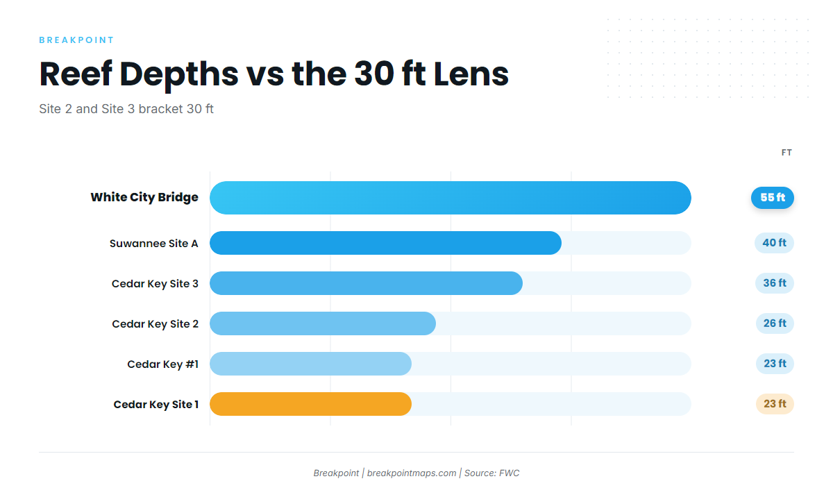
Kings out of Cedar Key are fished over structure about 30 feet deep. Site 2 at 26 ft and Site 3 at 36 ft bracket that depth, and Suwannee Site A sits at 40 ft.
Shallow water works when bait is present. If bait is in close, the fish can be too.
For other species on the same trip, the coastal and offshore gamefish guides cover them.
Reading conditions with CDRF1
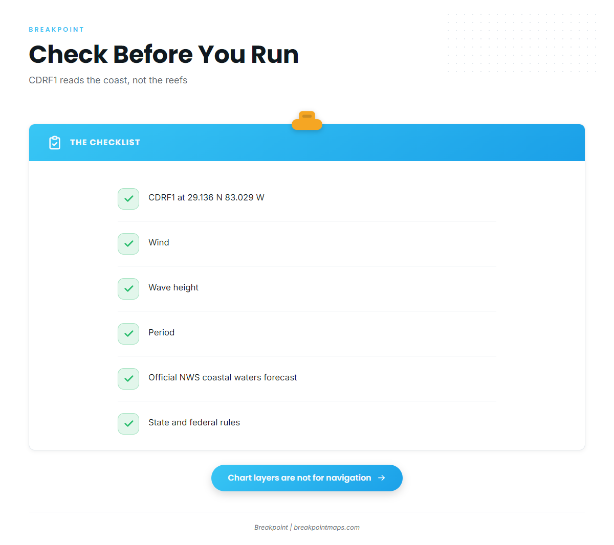
NDBC C-MAN station CDRF1 sits at Cedar Key, at 29.136 N 83.029 W. Its readings describe the coast, not conditions out at the reefs, so treat them as a starting point rather than a measurement of the grounds.
Check these readings:
- Wind
- Wave height
- Period
Then read the NWS coastal waters forecast for the official numbers over the water you plan to run.
Who fishes kings from this port
Cedar Key king mackerel are fished by owner-operators running their own boats. Crystal River and Yankeetown departures also list king mackerel on FishingBooker’s Cedar Key king mackerel view, which shows the same fish draw boats from the neighboring Big Bend ports.
FAQ about king mackerel at Cedar Key
When is king mackerel fishing out of Cedar Key best?
Summer, when the kings are around Cedar Key.
What depth holds kings near Cedar Key?
Structure about 30 ft deep. Shallow water works when bait is present.
Is Seahorse Reef an artificial reef?
No. It is a natural sandbar and a longer run from Cedar Key. Kingfish Hole is on its northwest side.
Which FWC reef near Cedar Key is deepest?
White City Bridge rubble, at 55 ft, made of steel and concrete.
Which buoy should I check before running?
CDRF1 at Cedar Key. Check wind, wave height and period. It reads the coast, not the reefs.