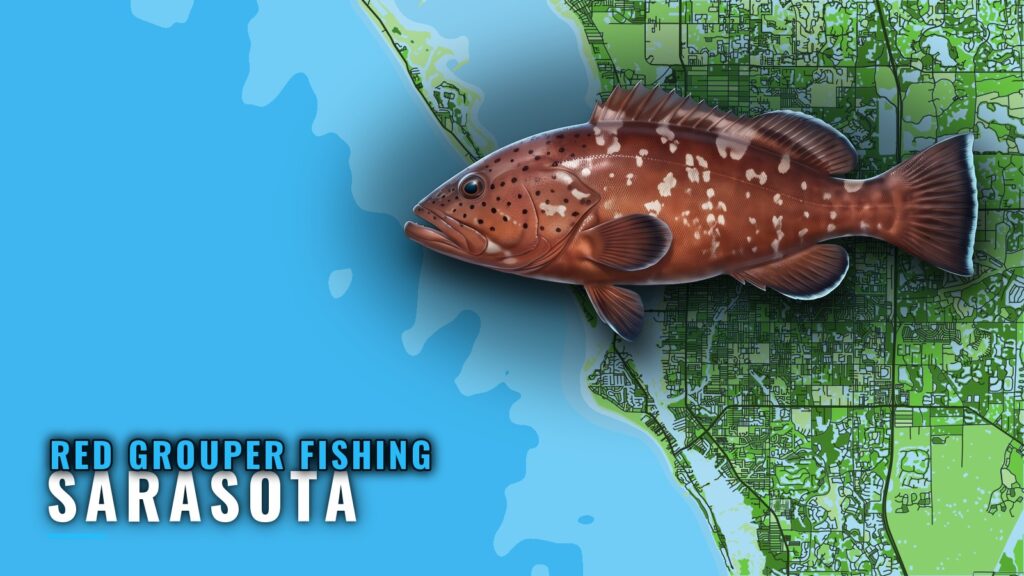
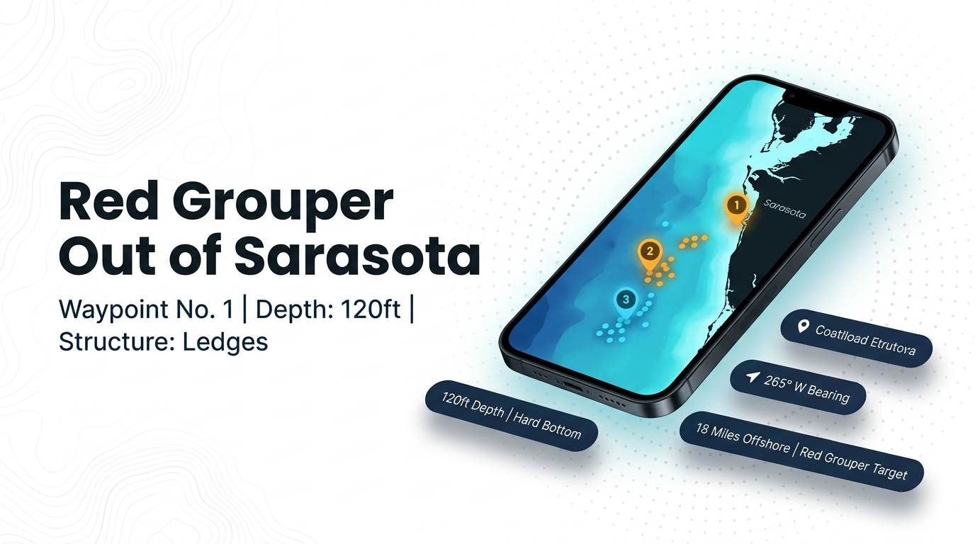
Red grouper fishing out of Sarasota centers on hard bottom and ledges 15-30 miles off New Pass and Big Pass, in about 70-140 ft. The red grouper grounds below come with bearings, distances and depths from the New Pass marker, plus how local captains fish them. Use them to decide where to start looking; they don’t guarantee fish. For the wider coast, see the red grouper fishing in the Gulf of Mexico and the Gulf of Mexico offshore fishing guide.
When red grouper are around Sarasota
Red grouper are listed year-round on Sarasota charter menus, and one aggregator calls summer prime. Seasons and limits are set by the agencies; see the Regulations section below.
Where boats run from New Pass and Big Pass
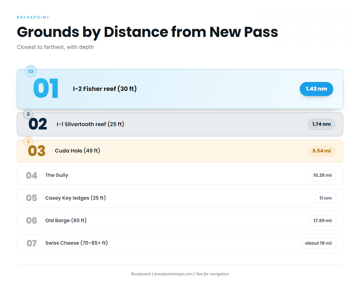
All bearings are in degrees magnetic from the New Pass marker, except Cuda Hole, which is measured from the New Pass Gulf marker. Distances keep the units given: miles for most grounds, nm for Casey Key, I-1 and I-2.
| Name | Depth | Bearing (°M) | Distance | Reference |
|---|---|---|---|---|
| I-2 Fisher reef | 30 ft | 239 | 1.43 nm | New Pass |
| I-1 Silvertooth reef | 25 ft | 187 | 1.74 nm | New Pass |
| Point of Rocks (Siesta Key) | Off Siesta Key beach | |||
| Cuda Hole / Table Rock ledge | 49 ft | 246 | 9.54 miles | New Pass Gulf marker |
| The Gully | 259 | 10.29 miles | New Pass | |
| Casey Key Beach / Grassy Key ledges | 25 ft (5-8 ft ledges) | 152 | 11 nm | |
| Old Barge | 80 ft | 249.6 | 17.69 miles | New Pass |
| Swiss Cheese | 70-85+ ft | about 250 | about 18 miles | New Pass |
Swipe the table sideways to see every column.
These numbers and any chart layers are not for navigation. Plot the bearings and distances against chart contours before the run.
The 15-30 mile hard bottom
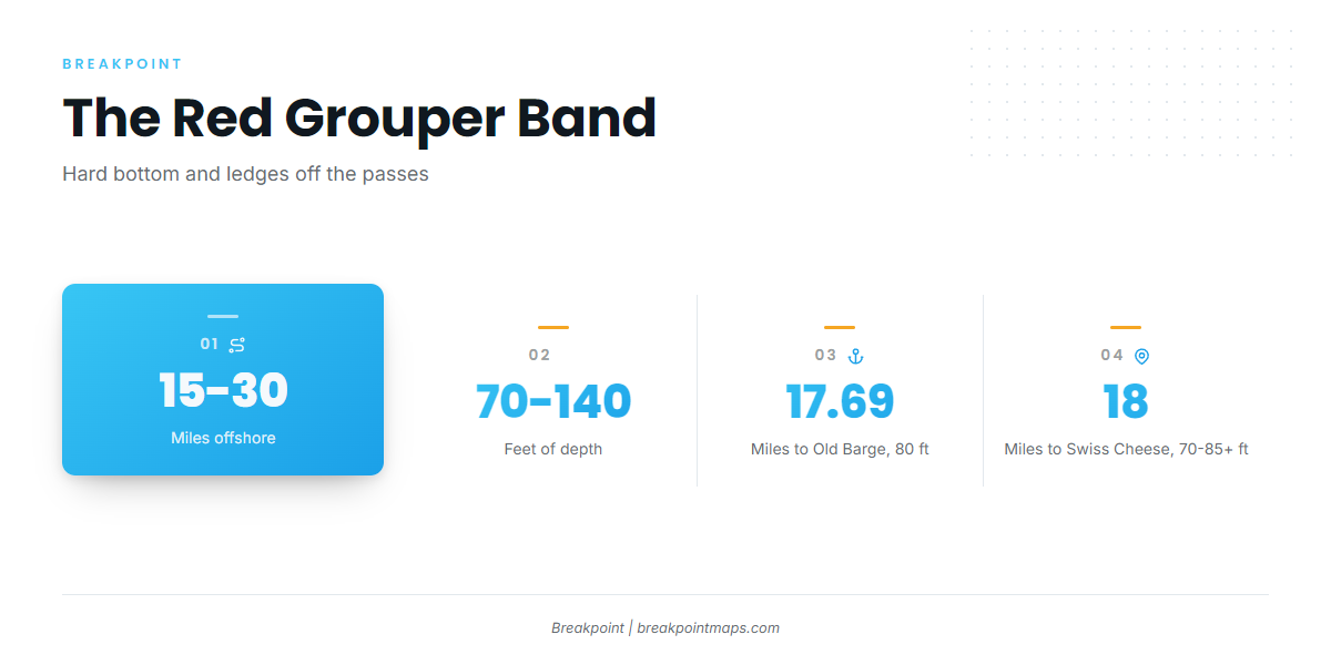
Boats run 15-30 miles out to hard bottom and ledges in about 70-140 ft. Swiss Cheese (70-85+ ft) and Old Barge (80 ft) fall inside that depth band. Cuda Hole (49 ft), Casey Key (25 ft), I-1 (25 ft) and I-2 (30 ft) are shallower named structure closer in.
Swiss Cheese
Swiss Cheese lies about 18 miles out at about 250 degrees magnetic from the New Pass marker, in 70-85+ ft. It is Capt. Tony Blizzard’s hard-bottom area. The numbers put you on a broad stretch of hard bottom rather than on a specific fish, so local boats drift it and mark what they hook, as described in the next section.
Old Barge
Old Barge sits at 249.6 degrees magnetic from the New Pass marker, 17.69 miles out, in 80 ft. That heading and distance fall close to Swiss Cheese, so one run can cover both.
The Gully and Cuda Hole
The Gully is 259 degrees magnetic from the New Pass marker, 10.29 miles out. Cuda Hole / Table Rock ledge is 246 degrees magnetic from the New Pass Gulf marker, 9.54 miles out, in 49 ft. Both sit about 10 miles out, and Cuda Hole is shallower than the 70-140 ft band.
Nearshore reefs and ledges
These are named structure close to the passes:
- I-1 Silvertooth reef: 25 ft, 1.74 nm at 187 degrees magnetic from New Pass.
- I-2 Fisher reef: 30 ft, 1.43 nm at 239 degrees magnetic from New Pass.
- Point of Rocks: off Siesta Key beach.
- Casey Key / Grassy Key ledges: 25 ft, 11 nm at 152 degrees magnetic, with 5-8 ft ledges.
For anglers who already fish this water, the next step out is the 18-mile grounds.
Reading conditions on VENF1
The nearest NDBC station is C-MAN VENF1 at Venice, FL (27.072 N, 82.453 W). Check its wind, wave and period readings alongside the official forecast before leaving the dock.
How red grouper are fished here
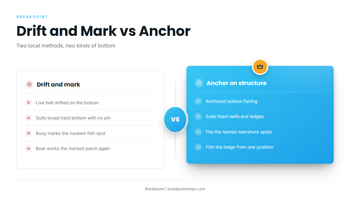
Local captains drift or anchor, depending on the bottom. For the broader Gulf bottom-fishing picture, see our reef fish guide.
Drift and mark
Over broad hard bottom, Sarasota Bay Fishing Charters’ GPS numbers describe drifting live bait on the bottom and marking the spot with a buoy when a fish is hooked. Hard bottom has no single pin, so the buoy shows where the productive patch is and lets you work it again.
Anchor on reefs and ledges
FishingBooker’s Sarasota deep-sea guide describes anchored bottom fishing on reefs and ledges. Anchoring suits fixed structure like the reefs and ledges in the table above.
Who fishes red grouper out of Sarasota
Two local charters list red grouper.
| Charter | Captain | Boat or dock | Trip |
|---|---|---|---|
| Sarasota Bay Fishing Charters | Capt. Tony Blizzard | Ken Thompson Pkwy Dock 3 (per site footer) | Swiss Cheese drift-and-mark |
| Kokomo Charters | Captain Rob | Kai Fin, 45 ft federally permitted six-pack | 6-hour mid-range trip |
Sarasota Bay Fishing Charters
Sarasota Bay Fishing Charters is run by Capt. Tony Blizzard from Ken Thompson Pkwy Dock 3, per the site footer. It is the operation behind the Swiss Cheese ground and the drift-and-mark method above.
Kokomo Charters
Kokomo Charters fishes offshore aboard Kai Fin, a 45 ft federally permitted six-pack, with Captain Rob. Its 6-hour mid-range trip fishes wrecks and ledges in 60-100 ft, which overlaps the 70-140 ft band.
FAQ: red grouper fishing out of Sarasota
How far offshore do boats run for red grouper out of Sarasota?
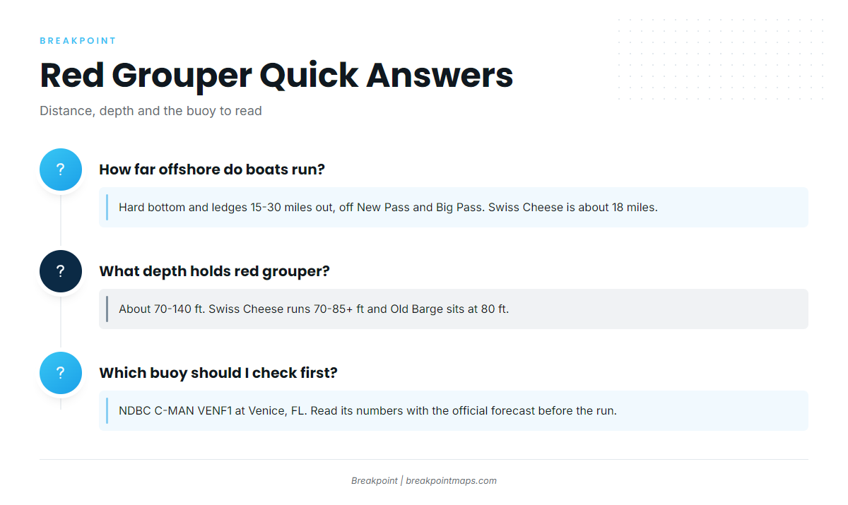
Boats fish hard bottom and ledges 15-30 miles out, off New Pass and Big Pass. Swiss Cheese is about 18 miles from the New Pass marker, and Old Barge is 17.69 miles out.
What depth holds red grouper off Sarasota?
Red grouper hold in about 70-140 ft. Swiss Cheese runs 70-85+ ft and Old Barge sits at 80 ft. Kokomo’s mid-range trip fishes wrecks and ledges in 60-100 ft.
When is red grouper season in Sarasota?
Red grouper are listed year-round on charter menus, and one aggregator calls summer prime. Open seasons and limits come from the state and federal agencies; use the pages linked in the Regulations section above.
Which buoy should I check before running offshore?
Use NDBC C-MAN VENF1 at Venice, FL (27.072 N, 82.453 W), the nearest NDBC station. Check its wind, wave and period readings alongside the official forecast before you go.
Should I run New Pass or Big Pass?
Both passes are listed departure routes for the offshore grounds. The bearings on this page are measured from the New Pass marker. Pass detail is on the Sarasota port page.