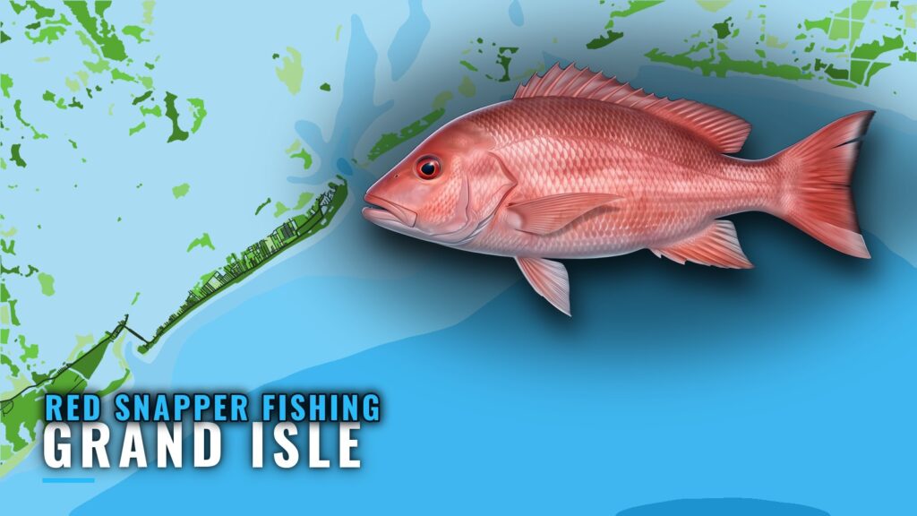
Red snapper fishing out of Grand Isle is rig and reef fishing, and every distance in this guide runs from the green No. 1 light at the Barataria Pass entrance. The guide covers where the structure sits, how deep it is, how the fish are worked locally and who fishes for them from this port. For launch, pass and conditions detail, see the Grand Isle port guide. The same fishery along the rest of the coast is in the Gulf of Mexico offshore fishing guide.
Where Boats Run Out of Grand Isle
Boats run to rigs and platforms. In order of distance:
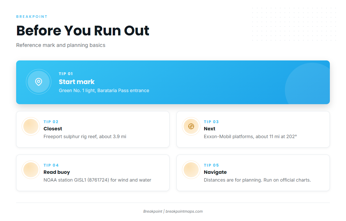
- About 3.9 miles: the Freeport sulphur rig reef, the closest named structure.
- About 11 miles at 202 degrees: the Exxon-Mobil platforms southwest of the pass.
- Also named: the Sandy Point rigs, the Caminada Pass jetties and Midnight Lump.
Check wind and water numbers before the run at NOAA station GISL1 at Grand Isle. It is NOAA station 8761724, at 29.265 N, 89.958 W. Read the numbers there and check the official forecast.
For the Barataria Pass approach, use NOAA Coast Pilot 5, Chapter 9. Distances and bearings here are for planning only; run on official charts.
Grounds and Structure That Hold Red Snapper
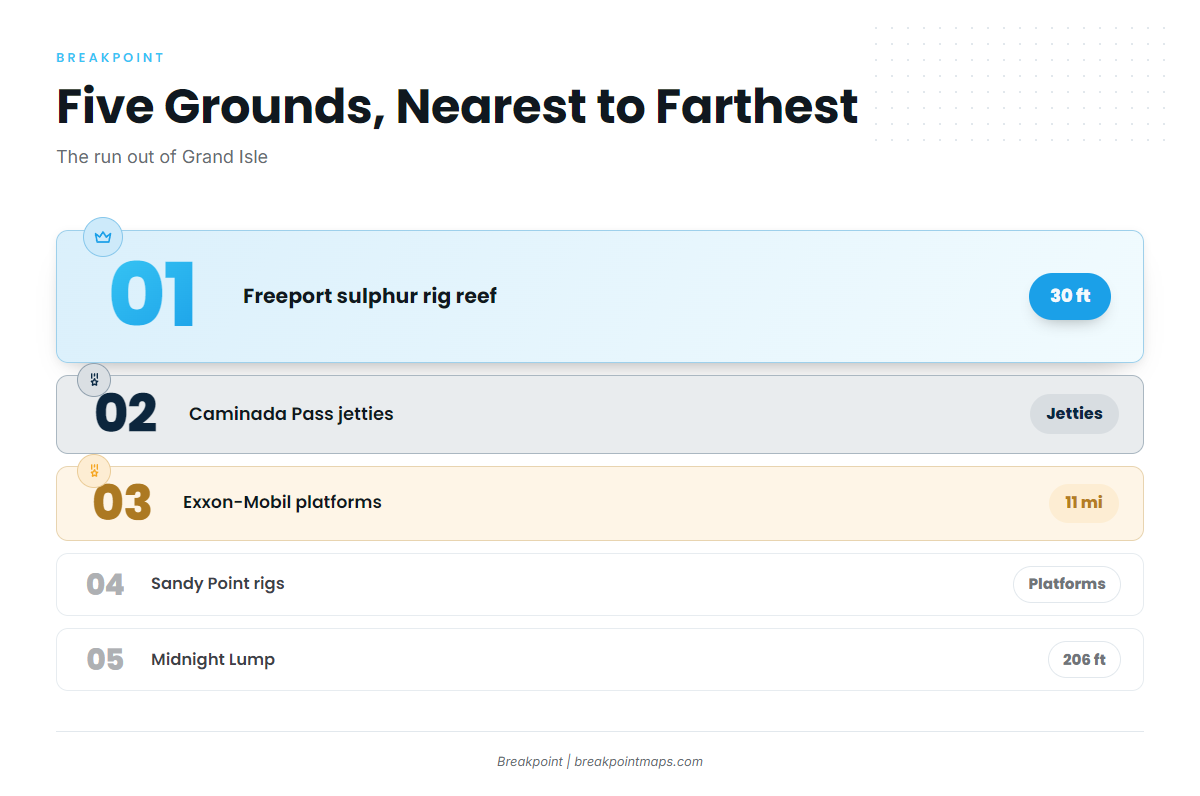
Five named grounds sit off Grand Isle, listed in order of the run out.
| Ground | Type | Depth | Distance/bearing from green No. 1 |
|---|---|---|---|
| Freeport sulphur rig reef (FLRA-27 / Grand Isle 9) | reef | 30 ft | about 3.9 mi |
| Caminada Pass jetties | jetties | not given | not given |
| Exxon-Mobil platforms | platforms | not given | about 11 mi at 202° |
| Sandy Point rigs (West Delta platforms) | platforms | not given | not given |
| Midnight Lump (Sackett Bank) | bank | crest about 206 ft | not given |
The same structure holds other reef fish, and the reef fish guides cover them.
Freeport Sulphur Rig Reef (FLRA-27)
The reef carries the designation FLRA-27 and is also called Grand Isle 9. It sits about 3.9 miles from the green No. 1 light in 30 ft of water, which makes it the closest named structure on this list.
Caminada Pass Jetties
The Caminada Pass jetties are nearshore jetty structure at the pass.
Exxon-Mobil Platforms
These platforms lie southwest of Barataria Pass, about 11 miles at 202 degrees from the green No. 1 light. The designations are L, BB, CC, 9M, 019, J, P, Q, R, S, T, U and W.
Sandy Point Rigs (West Delta Platforms)
The named platforms are:
- Green Monster
- MX-WD 23-3
- MX-WD 24-4
- MX-WD 23-FLARE No. 3
Midnight Lump (Sackett Bank)
Midnight Lump, also called Sackett Bank, has its crest at about 206 ft, the deepest named ground on this list.
How Red Snapper Are Fished Here
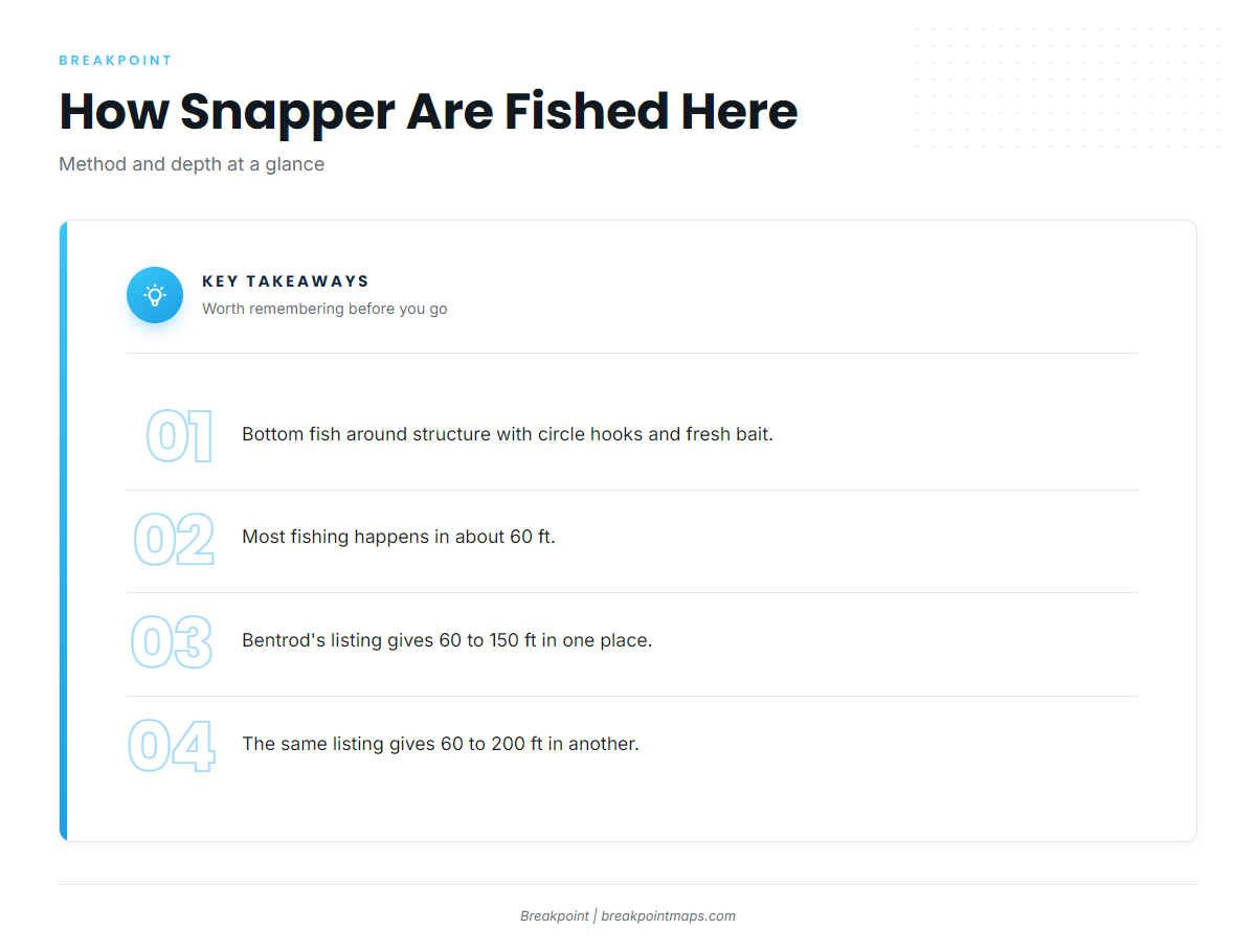
Local anglers bottom fish around structure with circle hooks and fresh bait. Most of the fishing happens in about 60 ft.
Depth ranges differ by source. Bentrod’s listing gives red snapper from 60 ft out to 150 ft in one place and to 200 ft in another; see Bentrod’s offshore trip listing for both. Treat 60 ft as the working number and the rest as a range.
For the general species and tackle picture, read the guide to red snapper across the Gulf.
| Item | Local practice |
|---|---|
| Method | Bottom fishing around structure |
| Hooks | Circle hooks |
| Bait | Fresh bait |
| Typical depth | About 60 ft |
When the Fish Are Around and Who Fishes Them
Season timing follows the rules covered in the Regulations section below.
Tournaments
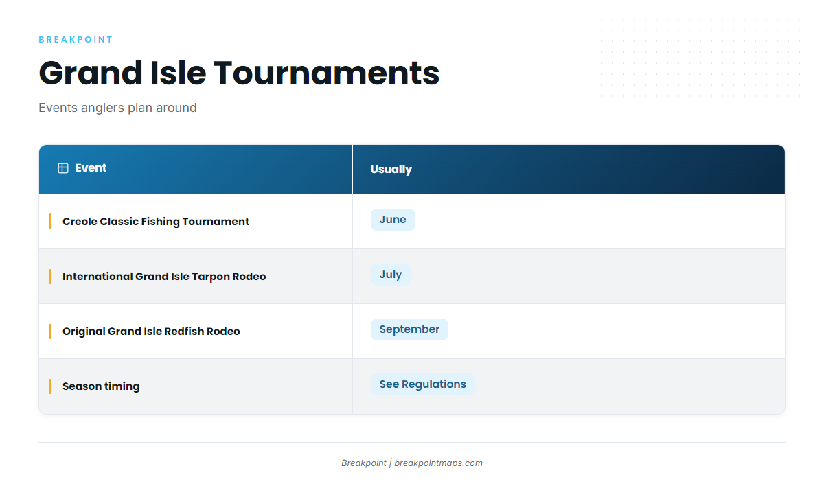
Three tournaments run out of Grand Isle, and red snapper anglers plan around them:
- Creole Classic Fishing Tournament (usually June)
- International Grand Isle Tarpon Rodeo (usually July)
- Original Grand Isle Redfish Rodeo (usually September)
Charters That List Red Snapper
Two local charters list red snapper:
- Bentrod Fishing Charters (The Bent Rod): 32 ft Twin Vee offshore catamaran, 6 passengers, twin 300 HP Suzuki engines.
- Captain John’s Fin-Tastic Charters: Capt John Chauvin, multiple boats for large parties.
FAQ: Red Snapper Fishing Out of Grand Isle
How far do boats run for red snapper out of Grand Isle?
The closest named structure is about 3.9 miles from the Barataria Pass green No. 1 light. The Exxon-Mobil platforms sit about 11 miles out at 202 degrees.
What is the closest red snapper structure to Grand Isle?
The Freeport sulphur rig reef (FLRA-27, also called Grand Isle 9). It sits in 30 ft, about 3.9 miles from the green No. 1 light.
What depth do anglers fish for red snapper here?
About 60 ft is typical. Bentrod’s listing gives 60 to 150 ft in one place and 60 to 200 ft in another.
How are red snapper fished locally?
Anglers bottom fish around structure with circle hooks and fresh bait.
Which buoy should I check before running out of Grand Isle?
NOAA NDBC station GISL1 (8761724) at Grand Isle, 29.265 N, 89.958 W. Read the wind and water numbers there and check the official forecast.
Who runs red snapper charters out of Grand Isle?
Bentrod Fishing Charters runs a 32 ft Twin Vee for 6 passengers. Captain John’s Fin-Tastic Charters, with Capt John Chauvin, runs multiple boats for large parties.