Sablefish at Neah Bay
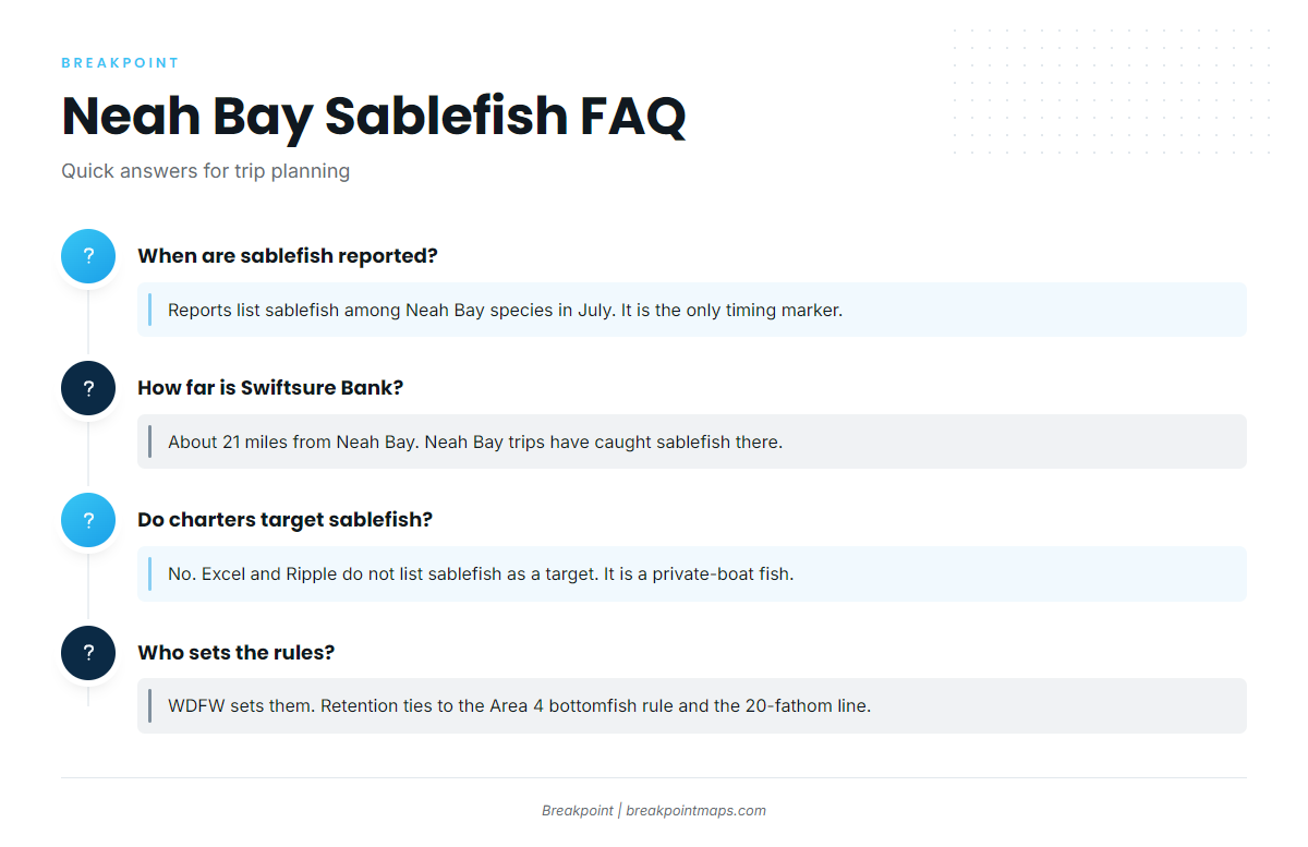
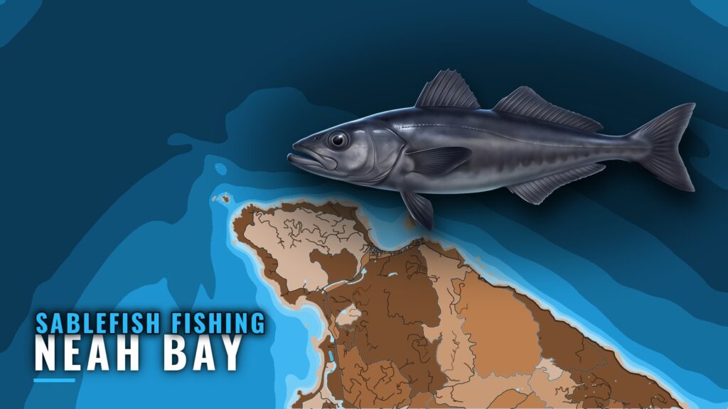
Sablefish fishing out of Neah Bay is a private-boat, deep-water fishery. Sablefish (black cod) are a retained bottomfish on Marine Area 4 trips, and no charter advertises them. You run your own boat, pick your ground, and plan around the 20-fathom line. For the whole coast, see the Pacific Northwest fishing guide.
This page covers where boats run, the named grounds, and what is specific to this port. It helps you decide where to look and does not promise fish. For launch, harbor and facility detail, see Neah Bay.
When they show up
Fishing reports list sablefish among Neah Bay species in July. That is the only timing marker for this port.
Who fishes them
Sablefish here are a private-boat fish. Neither Excel nor Ripple lists sablefish as a target, so Neah Bay charters are not a way in.
How Far Boats Run
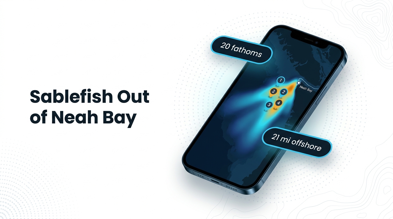
Boats run seaward of the 20-fathom line (120 ft) in Marine Area 4. Every ground below is measured against that line.
| Reference | Value |
|---|---|
| Depth boundary | 20 fathoms (120 ft) |
| Zone | Marine Area 4 |
| Swiftsure Bank | About 21 miles from Neah Bay |
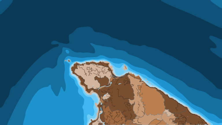
Chart layers are not for navigation. Use your official charts.
Swiftsure Bank, about 21 miles out
Swiftsure Bank sits about 21 miles from Neah Bay, and a Neah Bay trip has caught sablefish there. No catch depth is tied to the Swiftsure fish.
Grounds and Structure
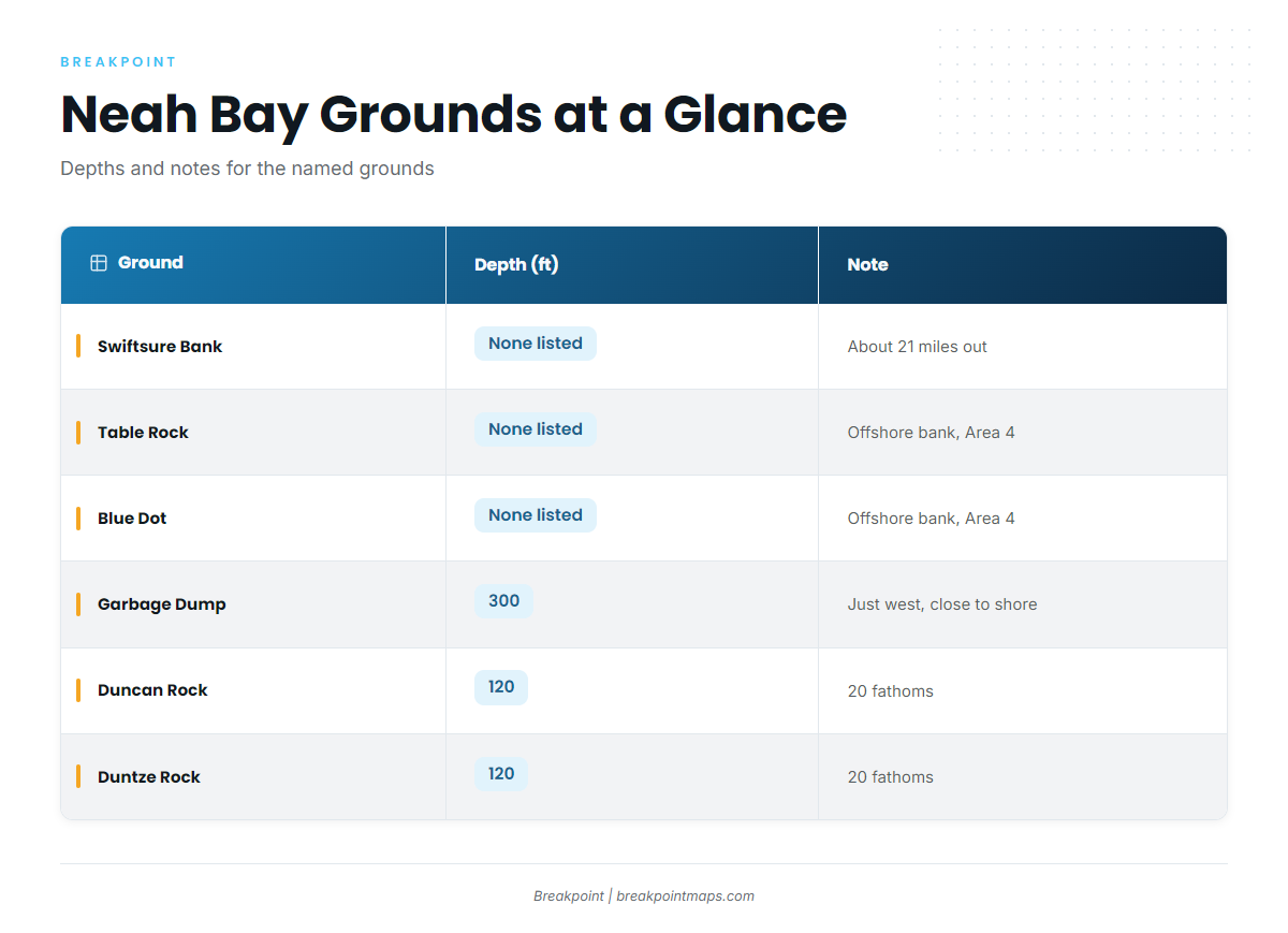
The offshore banks are where you look for deep water. The inside rocks mark the 20-fathom line and help you orient, but they are not sablefish water.
| Ground | Depth | Note |
|---|---|---|
| Swiftsure Bank | About 21 miles from Neah Bay; sablefish caught on a Neah Bay trip | |
| Table Rock | WDFW-listed offshore bank, Marine Area 4 | |
| Blue Dot | WDFW-listed offshore bank, Marine Area 4 | |
| Garbage Dump | 300 ft | Just west of Neah Bay, close to shore |
| Duncan Rock | 120 ft | 20 fathoms |
| Duntze Rock | 120 ft | 20 fathoms |
| Tatoosh Island | Lingcod and black rockfish area | |
| Waadah Island | Harbor-side landmark |
Offshore banks
WDFW lists Table Rock and Blue Dot as offshore banks in Marine Area 4. Swiftsure Bank is the third name to work from.
Inside reference points
- Garbage Dump: 300 ft, just west of Neah Bay, close to shore.
- Duncan Rock and Duntze Rock: both at 120 ft, which puts them on the 20-fathom reference.
- Tatoosh Island: a lingcod and black rockfish area. Use it for orientation.
- Waadah Island: the harbor-side landmark at the entrance.
How It’s Fished Here
Sablefish come aboard as a retained bottomfish on Marine Area 4 bottomfish trips. No port-specific method exists for Neah Bay sablefish.
For biology, depth habits and general gear, read our sablefish guide. For rigging, start with the deep-drop guides.
FAQ
Can you keep sablefish out of Neah Bay?
Yes. Sablefish is a retained bottomfish under the Neah Bay rule, on the terms WDFW sets. Check WDFW for current limits.
When are sablefish reported at Neah Bay?
Reports list sablefish among Neah Bay species in July, the only timing marker for this port.
How far is Swiftsure Bank from Neah Bay?
About 21 miles. A Neah Bay trip has caught sablefish there.
Do Neah Bay charters target sablefish?
No. Excel and Ripple do not list sablefish as a target. Sablefish here are a private-boat fish.
Where are the rules for sablefish at Neah Bay?
WDFW sets them. Retention ties to the Marine Area 4 bottomfish rule and the 20-fathom line. Check before fishing.