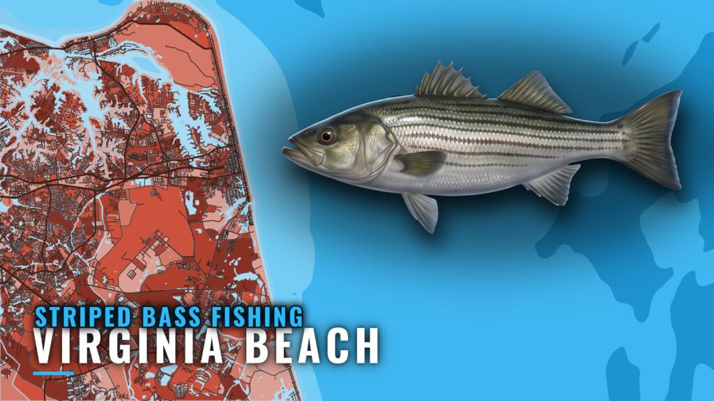
When striped bass are off Virginia Beach
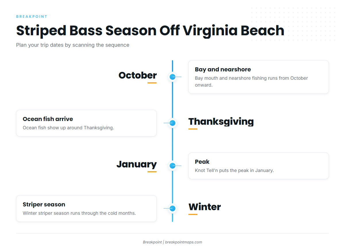
Striped bass show up off Virginia Beach around Thanksgiving and peak in January, with bay and nearshore fish from October onward. For the striped bass run along the Atlantic coast (see also the wider Atlantic Northeast guide), see the regional picture. This section covers the local calendar.
| Window | What the port sees |
|---|---|
| October onward | Bay and nearshore fish |
| Around Thanksgiving | Ocean fish arrive |
| January | Peak |
Bay and nearshore from October
The bay and nearshore fishery runs from October onward. Early-season boats work the bay mouth and the water just outside it. Boats leave from Virginia Beach and Rudee Inlet.
Thanksgiving arrival
Ocean fish typically show up around Thanksgiving, which starts the ocean fishery for the port.
January peak
Knot Tell’n puts the peak in January.
Where boats run
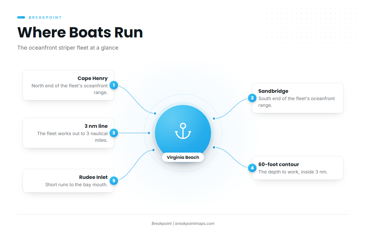
Boats work the oceanfront from Cape Henry to Sandbridge, out to the 3 nautical mile line, with the 60-foot contour as the depth to work. In short, the fleet stays inside 3 nm and fishes around 60 ft.
- Cape Henry to Sandbridge: the stretch of oceanfront the fleet covers
- 3 nautical miles: the outer edge of the run
- About 60 ft: the depth to fish
- Rudee Inlet: the launch, with short runs to the bay mouth
Cape Henry to Sandbridge
Neill’s article places the fleet off Cape Henry to Sandbridge, the working stretch of oceanfront.
The 3 nautical mile line
The winter fleet works out to 3 nautical miles off the oceanfront. Plan your runs inside that line.
The 60-foot contour
Trawl studies cited by Neill show the 60-foot contour as a favorite hangout for wintering fish. Work the 60-foot line where it falls inside 3 nm.
Short runs from Rudee
Bay mouth runs from Rudee Inlet are short, for stripers and for cobia. Read wind and seas from the NWS Wakefield marine forecast before you leave the dock.
Grounds and structure off the port
The named grounds off Virginia Beach sit well beyond the 3 nm line the striper fleet works, so they belong to the port’s wider grounds and are not striper marks. The table lists what is known about each.
| Ground | Depth | Distance/bearing |
|---|---|---|
| Chesapeake Light Tower | ||
| Triangle Reef (Triangle Wrecks) | 100 ft | 16.5 nm on 073 degrees true from Chesapeake Light Tower |
| Tower Reef | ||
| Southeast Lumps | 19 to 28 miles off Rudee Inlet (1994 list) | |
| Norfolk Canyon | 690 ft | About 62 miles east of Cape Henry (1994 list) |
Chesapeake Light Tower and Triangle Reef
Chesapeake Light Tower is the reference point for the area. Triangle Reef (Triangle Wrecks) sits in 100 ft, 16.5 nm on 073 degrees true from the tower.
Tower Reef
VMRC lists Tower Reef among its offshore sites.
Farther grounds
A 1994 list puts the Southeast Lumps 19 to 28 miles off Rudee Inlet and Norfolk Canyon at 690 ft, about 62 miles east of Cape Henry. Both figures are old. The Cigar and The Fingers are also named grounds off the port. For the port’s other coastal and offshore gamefish, start with these grounds.
Chart layers are not for navigation.
How it is fished locally
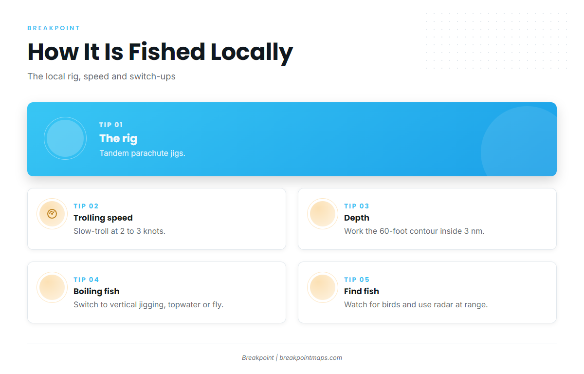
The local standard is tandem parachute jigs slow-trolled at 2 to 3 knots, with a switch to vertical jigging, topwater or fly when fish are boiling. For general tackle and behavior, see our striped bass guide.
Slow-trolled tandem parachute jigs
Troll tandem parachute jigs at 2 to 3 knots along the 60-foot contour inside 3 nm.
Jigging, topwater and fly on boiling fish
When fish are boiling, boats switch to vertical jigging, topwater casting or fly. Get the boat to the school, shut down the troll and cast or drop to the fish. Light-tackle and fly anglers get their best shot on the surface.
Finding fish with birds and radar
Birds and radar help find fish. Watch for working birds, and use radar to pick them out at range.
Who fishes them out of this port
Private boats work the oceanfront, and Knot Tell’n Charters lists striped bass. The boat is Capt. Scott Horton’s 36 ft Albemarle Express. Striped bass fishing out of Virginia Beach is mostly done from private boats inside the 3 nm line.
FAQ
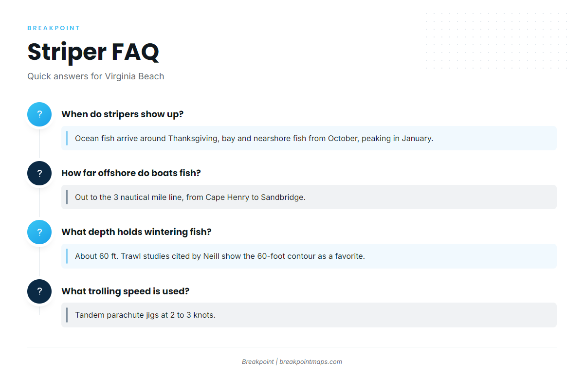
When do stripers show up off Virginia Beach?
Ocean fish show up around Thanksgiving, according to local charter reports. Bay and nearshore fish start in October. Knot Tell’n puts the peak in January, so late fall through January is the window for the ocean fleet.
How far offshore do boats fish for stripers?
Boats fish the oceanfront out to the 3 nautical mile line, from Cape Henry to Sandbridge. Neill’s article places the fleet in that stretch.
What depth holds wintering stripers?
The depth is about 60 ft. Trawl studies cited by Neill show the 60-foot contour as a favorite hangout for wintering fish. Work that contour where it falls inside 3 nm.
What trolling speed is used?
Boats slow-troll tandem parachute jigs at 2 to 3 knots. When fish are boiling, they switch to vertical jigging, topwater casting or fly. Birds and radar help find the schools.
Where are the rules for fishing from this port?
VMRC sets the rules for Virginia waters. Check the state regulations page before you fish, since figures can change.