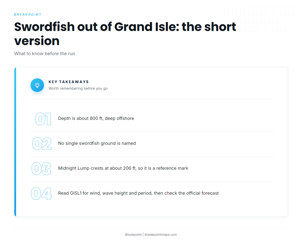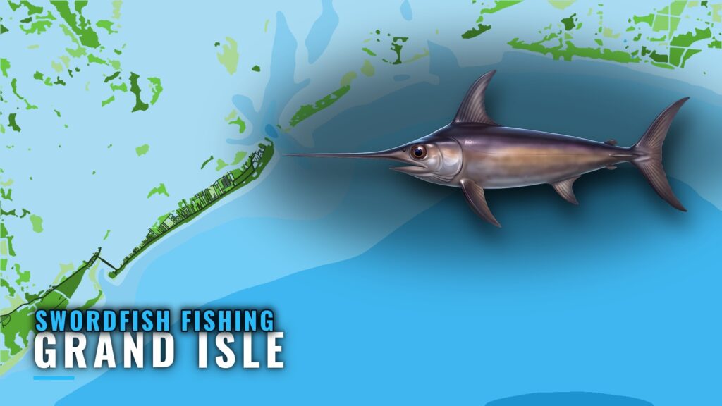
Swordfish fishing out of Grand Isle takes place in about 800 ft of water, well offshore, and no single ground is named for the species. This page covers the depth, the reference marks on the run out, who fishes swordfish from this port, when the organized offshore effort happens and where to read conditions before you go.
Where boats run for swordfish out of Grand Isle
Depth defines this fishery, and the rest of the trip is getting there.
Depth: about 800 ft
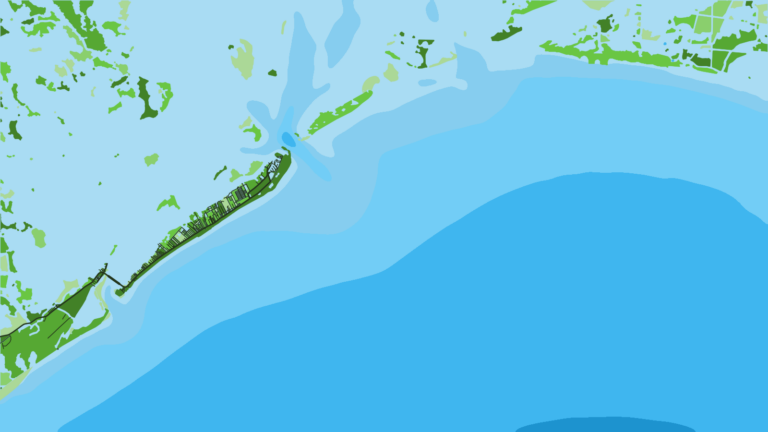
Swordfish are fished at about 800 ft off Grand Isle. The Chart Contours layer in Breakpoint draws the 800 ft line, so you can see how the shelf edge sits relative to your departure pass. Chart layers are not for navigation.
How far offshore
Boats run deep offshore. No ground is named for swordfish off Grand Isle, so the target is a depth rather than a lump or a rig. For how this fishery works across the basin, see the wider Gulf picture (see also the Gulf of Mexico region guide).
Grounds and structure on the run out
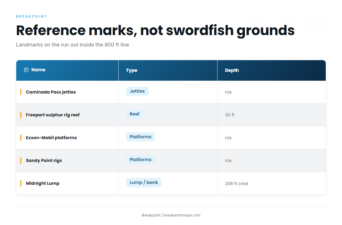
The marks below are reference points and waypoints inside the 800 ft line. They are not swordfish grounds. Use them to orient yourself leaving the passes, not to decide where to fish for swordfish.
| Name | Type | Depth | Position as recorded |
|---|---|---|---|
| Caminada Pass jetties | jetties | ||
| Freeport sulphur rig reef (FLRA-27, Grand Isle 9) | reef | 30 ft | |
| Exxon-Mobil platforms SW of Barataria Pass | platforms | about 11 miles at 202 degrees from the green No. 1 ATON | |
| Sandy Point rigs (West Delta platforms) | platforms | ||
| Midnight Lump (Sackett Bank) | lump / bank | crest about 206 ft |
Midnight Lump (Sackett Bank)
The crest sits at about 206 ft. It is a useful reference mark, but it is far shallower than the 800 ft target and is not swordfish water.
Sandy Point rigs
These are the West Delta platforms: Green Monster, MX-WD 23-3, MX-WD 24-4 and MX-WD 23-FLARE No. 3. Treat them as landmarks.
Exxon-Mobil platforms southwest of Barataria Pass
The group lies about 11 miles at 202 degrees from the green No. 1 ATON. The structures are L, BB, CC, 9M, 019, J, P, Q, R, S, T, U and W. We chart these platforms as reference marks.
Freeport sulphur rig reef
The reef is FLRA-27, also called Grand Isle 9, in 30 ft. It is a nearshore orientation mark.
Caminada Pass jetties
The jetties mark the west pass and give you an orientation point as you leave or return.
How swordfish are fished from Grand Isle
Swordfish out of this port mean an offshore trip, and the rigs are not the destination.
Local charter trip
Bentrod Fishing Charters (The Bent Rod) lists swordfish on its 8 hour private offshore trip. The boat is a 32 ft Twin Vee offshore catamaran carrying 6 passengers on twin 300 HP Suzuki engines. For rigging and tackle for swordfish, start with the species guide.
Who fishes for them
Three groups work this fishery:
- Owner-operators running their own boats deep offshore.
- Charter clients booking a private offshore trip.
- Tournament teams fishing organized events out of the port, such as the Hurricane Hole Invitational, a billfish-style offshore tournament. See the billfish fishing guides for how those events fit the wider picture.
Tournament timing
The organized offshore effort at this port concentrates around two events:
- the Hurricane Hole Invitational: usually May.
- International Grand Isle Tarpon Rodeo: usually July.
Reading conditions before the run
GISL1 (station 8761724)
The nearest NOAA buoy is NOAA station GISL1 at Grand Isle, station 8761724, at 29.265 N, 89.958 W. Read wind, wave height and wave period, then check the official NOAA marine forecast before you run. The buoy sits at the island, so it reports conditions near the passes, not at 800 ft.
FAQ: swordfish fishing out of Grand Isle
How deep do you fish for swordfish off Grand Isle?
About 800 ft, deep offshore. Plan your run around that number.
Is there a named swordfish ground?
No. Boats run deep offshore to about 800 ft, and the target is a depth rather than a named lump, rig or bank.
Is Midnight Lump swordfish water?
No. Its crest is about 206 ft, so it works as a reference mark on the run out and is not a place to fish for swordfish.
Which charter lists swordfish?
Bentrod Fishing Charters (The Bent Rod) lists swordfish on its 8 hour private offshore trip, run on a 32 ft Twin Vee offshore catamaran.
Which tournaments run out of Grand Isle?
The Hurricane Hole Invitational, usually in May, and the International Grand Isle Tarpon Rodeo, usually in July.
Which buoy should I check?
GISL1, station 8761724. Read wind, wave height and period, then check the official forecast before you run.