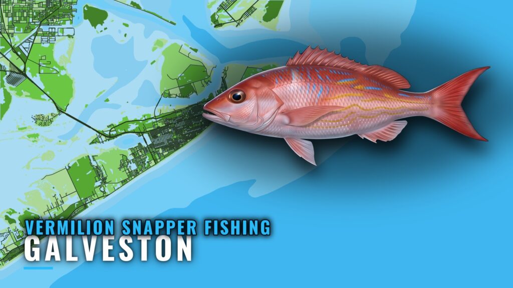
Where Galveston boats run for vermilion snapper
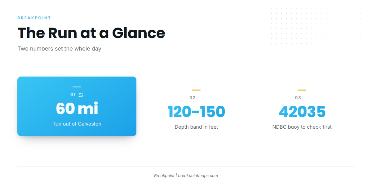
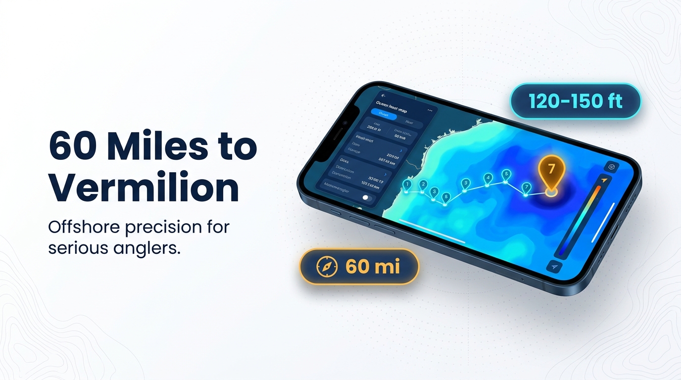
For vermilion snapper fishing out of Galveston, boats run about 60 mi out to offshore structures in 120-150 ft. That figure comes from Capt. Greg Ball of Wave Dancer Charters, in the Galveston Daily News. For the wider coast, see the vermilion snapper fishing in the Gulf of Mexico and the wider Gulf of Mexico guide.
Boats leave out of Galveston Yacht Basin and clear the jetties at the entrance channel. The Galveston port guide covers the harbor and the water outside it. This page follows the route from the jetties out to that structure, then covers method, conditions, who fishes it and the rules.
Run distance
The run is about 60 mi each way, which sets your fuel and the length of your day.
Depth
The target band is 120-150 ft. Mark it on the plotter. The offshore structure in that band at about 60 mi is the vermilion snapper ground tied to this port. Chart layers are not for navigation; use official charts to run the route.
Grounds and structure off Galveston
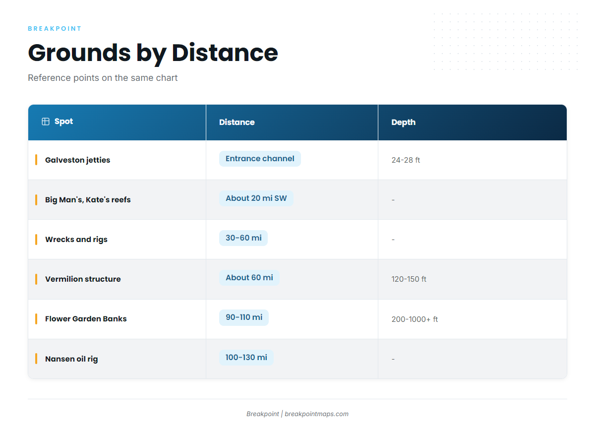
Named grounds run from the jetties at the entrance channel out to the Flower Garden Banks at 90-110 mi. The offshore structure in 120-150 ft at about 60 mi is the vermilion snapper ground. The spots inside and beyond it are reference points on the same chart.
| Spot | Distance or position | Depth |
|---|---|---|
| Galveston jetties (north at Bolivar, south at Galveston Island) | At the entrance channel | 24-28 ft |
| 61st Street and 91st Street seawall piers | Pay piers on the Galveston seawall | – |
| Big Man’s Nearshore Reef | Roughly 20 mi SW of the jetties | – |
| Kate’s Nearshore Reef | Roughly 20 mi SW of the jetties | – |
| Cerveza oil rig | Due south of the jetties | – |
| Wrecks and rigs | 30-60 mi | – |
| Offshore structures (vermilion) | About 60 mi | 120-150 ft |
| Flower Garden Banks | 90-110 mi | 200-1000+ ft |
| Nansen oil rig | 100-130 mi | – |
For red snapper and other reef species, see the Gulf reef fish guides.
Jetties and seawall piers
The north jetty sits at Bolivar and the south jetty at Galveston Island. Both flank the entrance channel in 24-28 ft, where the offshore run starts. The 61st Street and 91st Street piers are pay piers on the seawall; treat them as shore reference points.
Nearshore reefs
Big Man’s and Kate’s Nearshore Reefs lie roughly 20 mi southwest of the jetties, well inside the 60 mi run. Use them as orientation on the way out.
Rigs and wrecks
Three markers sit between the dock and the deep water, in order of distance:
- Cerveza rig. It lies due south of the jetties.
- Wrecks and rigs, 30-60 mi. The outer edge of this band meets the structure at about 60 mi.
- Nansen rig. It sits 100-130 mi out, beyond the vermilion band, and is a yellowfin night-fishing destination per a trip recap.
Flower Garden Banks
The Flower Garden Banks lie 90-110 mi offshore in 200-1000+ ft, per Get Hooked. That is deeper and farther out than the 120-150 ft band.
How vermilion snapper are fished here
The local method is bottom fishing structure in 120-150 ft. Find the marked structure in that band and fish the bottom over it. Rigs, baits and biology are covered in the vermilion snapper species guide.
Conditions and who fishes them
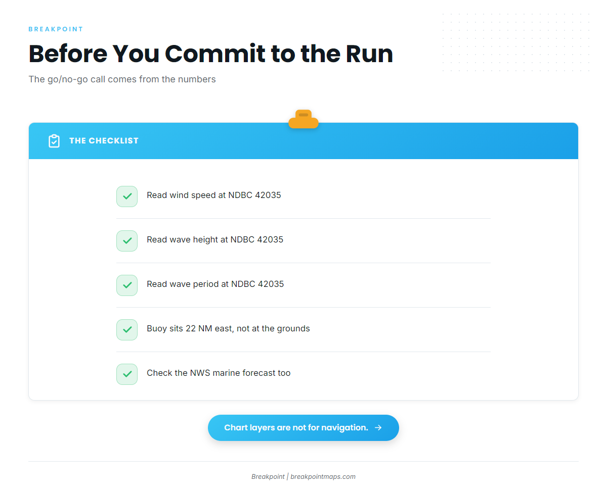
On a 60 mi run, the go or no-go decision comes from the numbers, so read them before you commit.
Reading NDBC 42035
The NDBC 42035 station page covers the buoy 22 NM east of Galveston (29.235 N 94.410 W). It reports three numbers you need:
- Wind speed and direction
- Wave height
- Wave period
The buoy reads conditions 22 NM east of the dock, not at the 60 mi grounds. Read it alongside the NWS Houston/Galveston marine forecast for the offshore zones.
Wave Dancer Charters
Wave Dancer Charters in Galveston, with Capt. Greg Ball, fishes out of Galveston Yacht Basin. It lists vermilion snapper, per the Daily News. Private boaters run the same 60 mi to 120-150 ft.
FAQ: vermilion snapper fishing out of Galveston
Where do boats go for vermilion snapper fishing out of Galveston?
Boats run about 60 mi out to offshore structures in 120-150 ft. That figure comes from Capt. Greg Ball of Wave Dancer Charters, in the Galveston Daily News.
How deep are vermilion snapper fished off Galveston?
The band is about 120-150 ft. Boats fish the bottom over structure at about 60 mi. Anglers also call the fish beeliner.
Do the jetties or nearshore reefs hold vermilion snapper?
The stated vermilion ground is the 120-150 ft structure at about 60 mi. The jetties (24-28 ft) and Big Man’s and Kate’s Nearshore Reefs (roughly 20 mi southwest) are reference points inside that run.
How do I check conditions before the run?
Read wind, wave height and period at NDBC 42035, 22 NM east of Galveston, plus the official marine forecast. The buoy is not at the 60 mi grounds, so treat its numbers as a reference.
Who runs vermilion snapper trips out of Galveston?
Wave Dancer Charters, with Capt. Greg Ball, out of Galveston Yacht Basin.